Skip to content
Menu
p600.org
  • home
  • map
  • trips
  • about
p600.org

Jebel Tidirhine

hike | 2022-09-04
2456 m altitude, 1901 m prominence, 130.82 km isolation

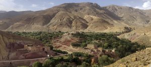
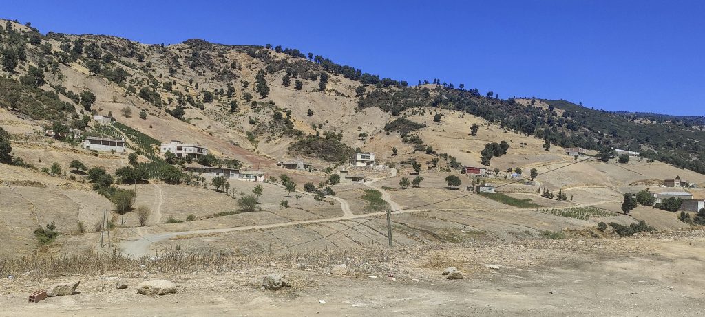
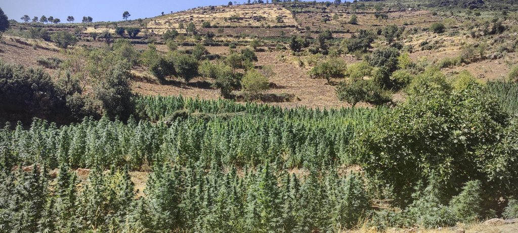
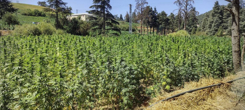
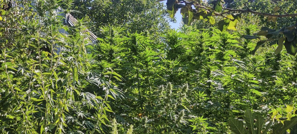
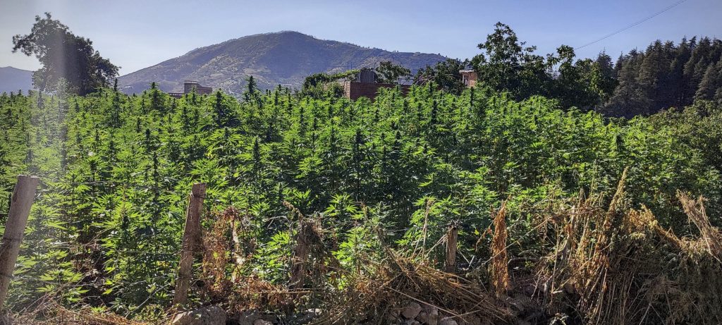
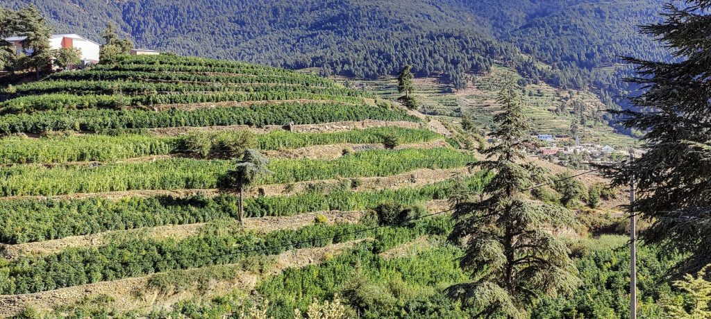
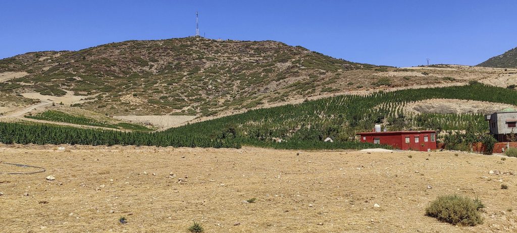
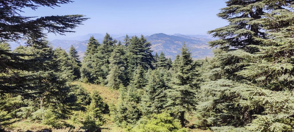
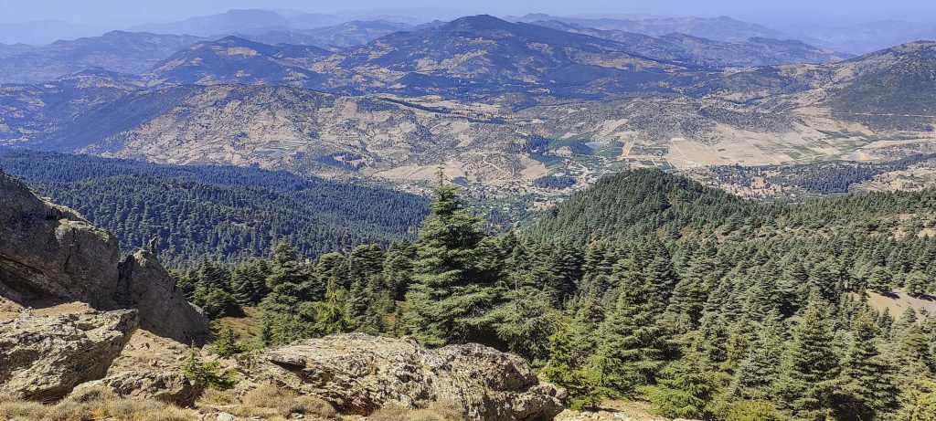
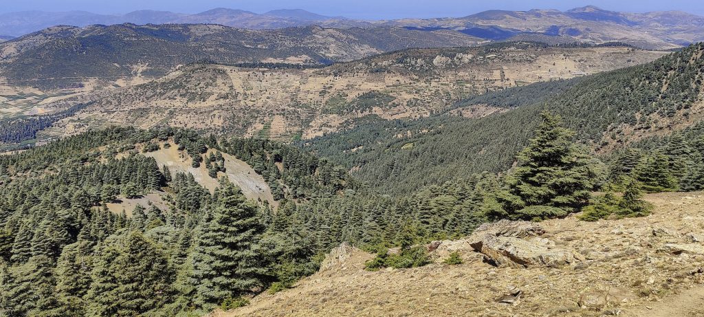
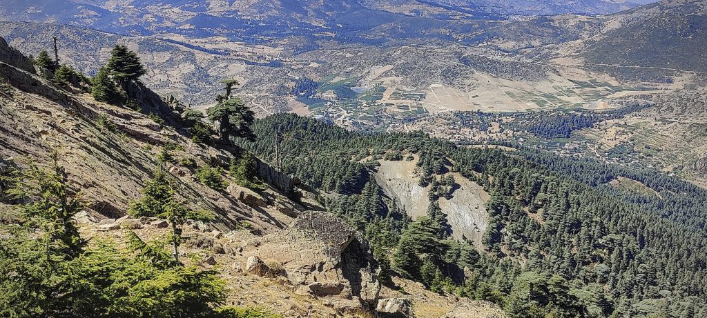
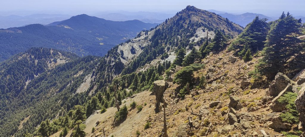
The last of five planned Moroccan ultrapeaks is located right next to the Mediterranean Sea. So it feels like a resort: warm, dry, with lots of pine and cedar trees. It is likely that this climate is also very suitable for hashish, with practically all the fields planted with lush vegetation. The fields are irrigated and stretch for tens of kilometres, with the small town of Ketama in the centre of the fields.

Traditional Moroccan straw hat
Villages close to the mountain
Yes, there are cannabis fields all over the place

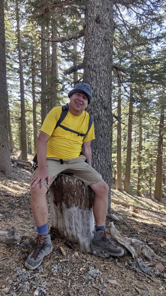
We don’t know how close we can get to the summit with the car, but we decide to attempt the climb this afternoon. It was hot, but there was no wind, and the sky was clear. We talk to a local and find out which of the many forest roads to choose. We arrive at the water storage basin at 34.84867, -4.53124. The road is relatively good, suitable for a 2WD car. We could try to go further, but we decide that it will be faster to climb the tree-covered slope.

Initially, we climb straight through the forest
Nice old cedar forest
Tree line is not so far away from the top

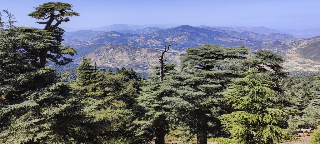
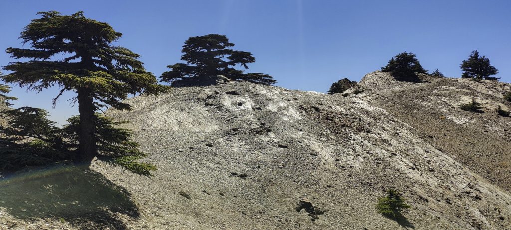
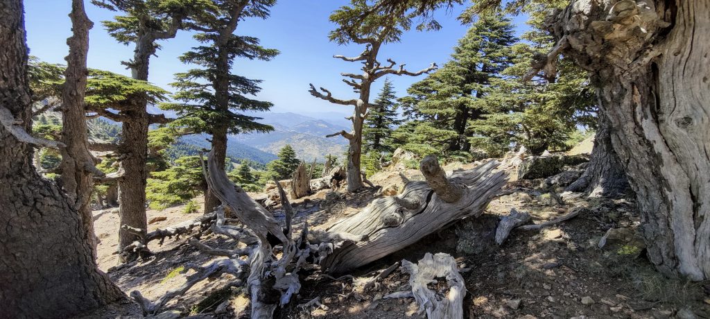
A couple of hundred metres higher, we find a marked and well-maintained trail that leads all the way to the top. Great. At the beginning, we climb to the slightly lower western peak, and then we go further, to the highest point about 800 metres away.

Summit slopes
Surrounding views
Views from ridge
Steep slope on the other side
There is a mosque on the popular peak and another nearby
Approaching summit
The true summit is 800 metres away from the popular West summit

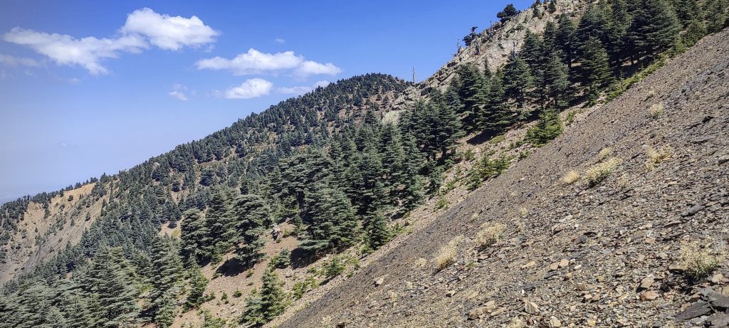
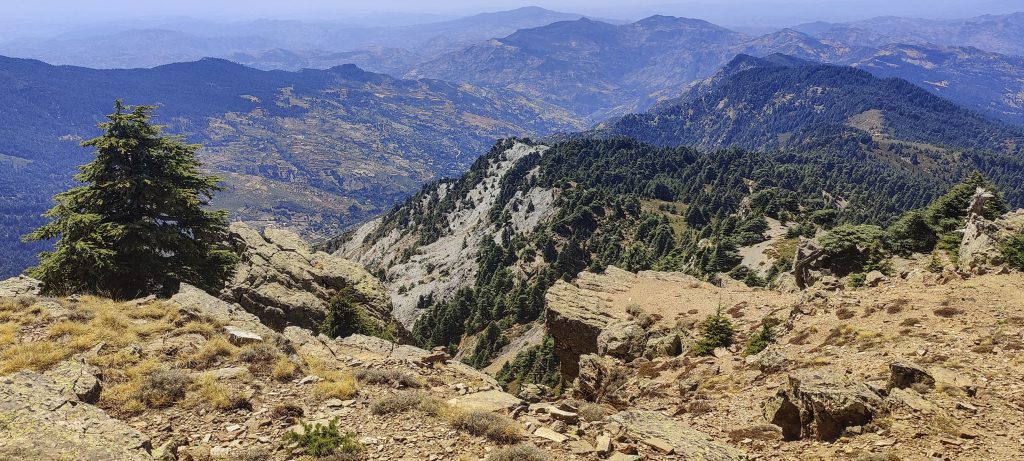
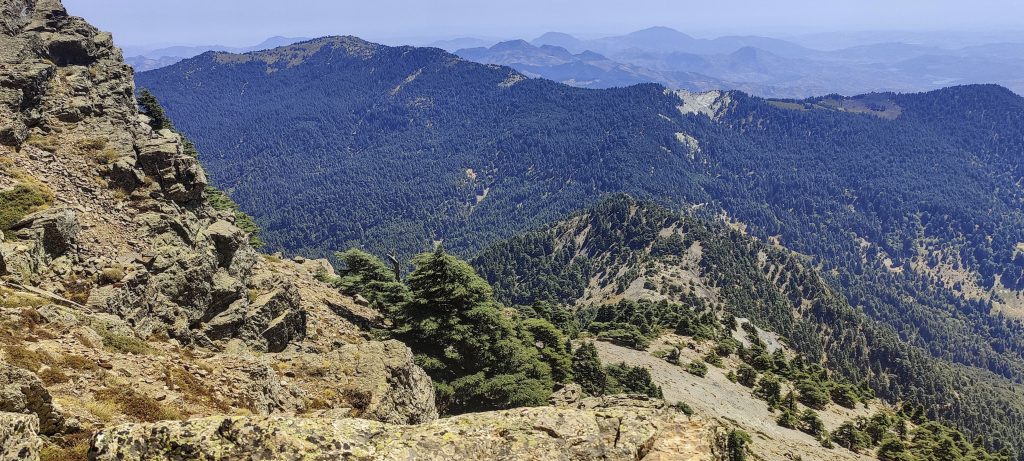
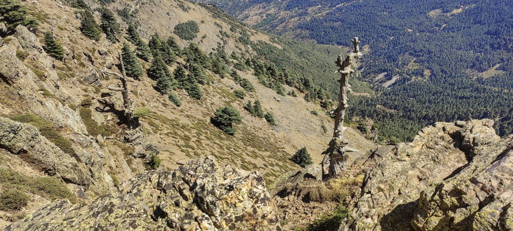
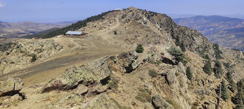
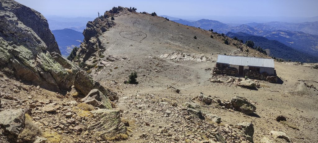
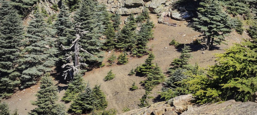
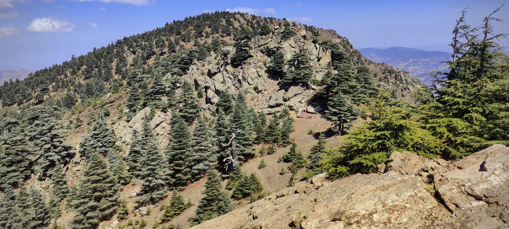
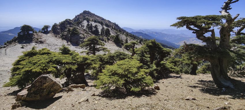
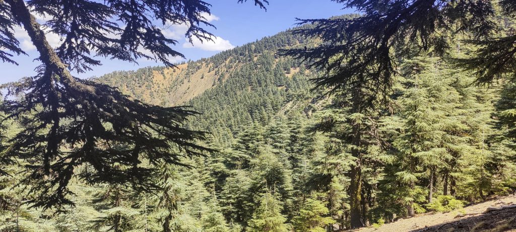
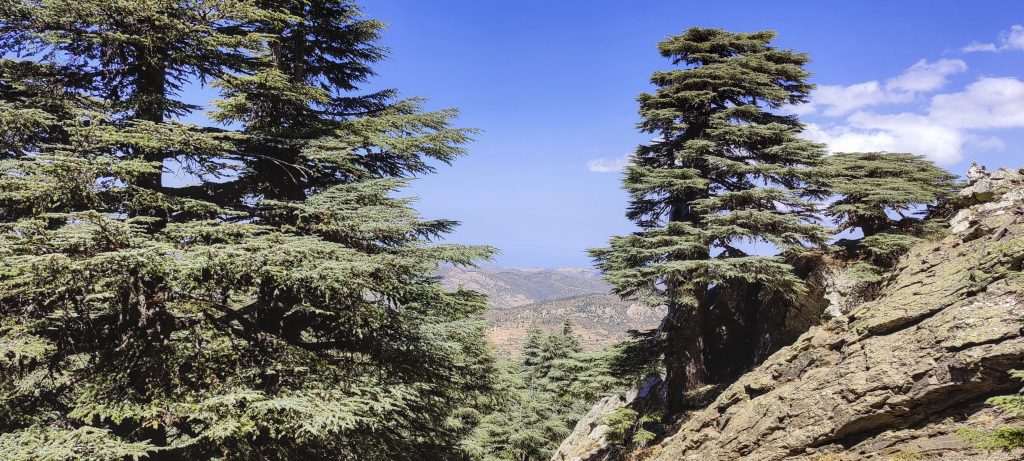
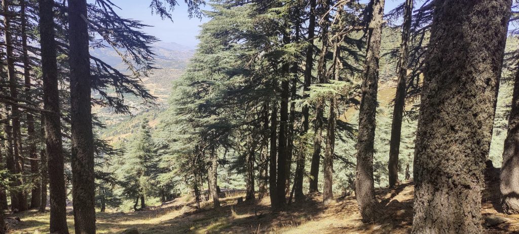
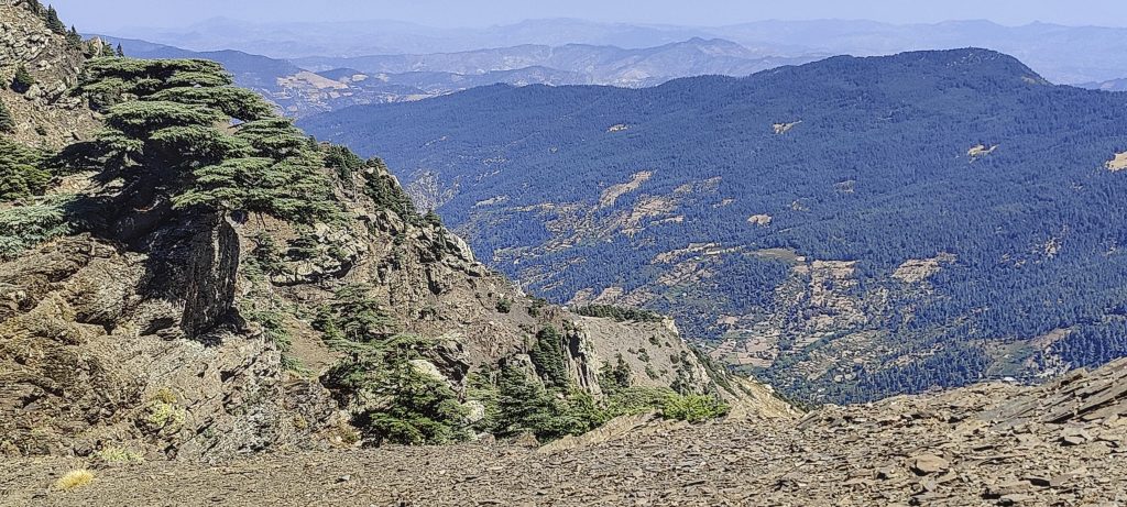
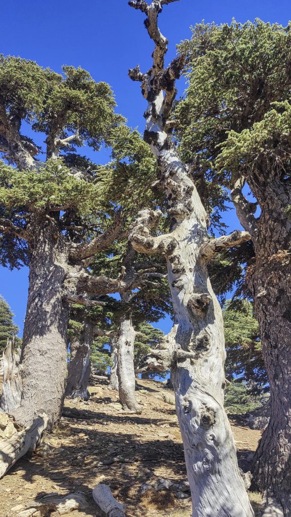
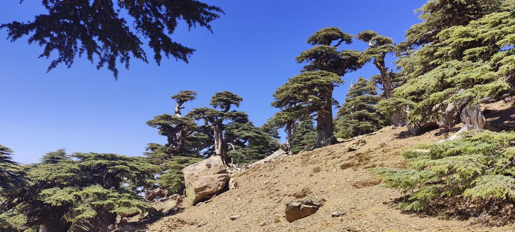
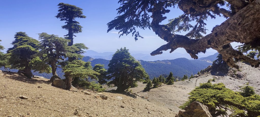
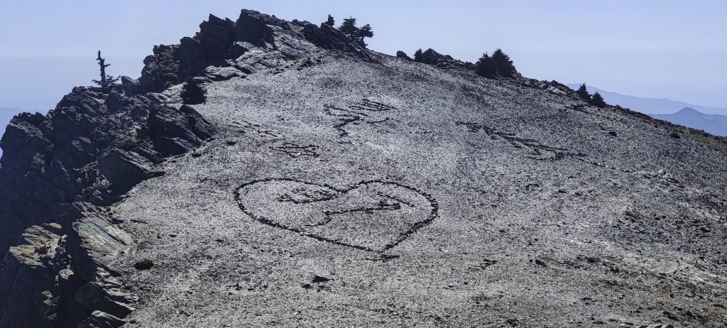
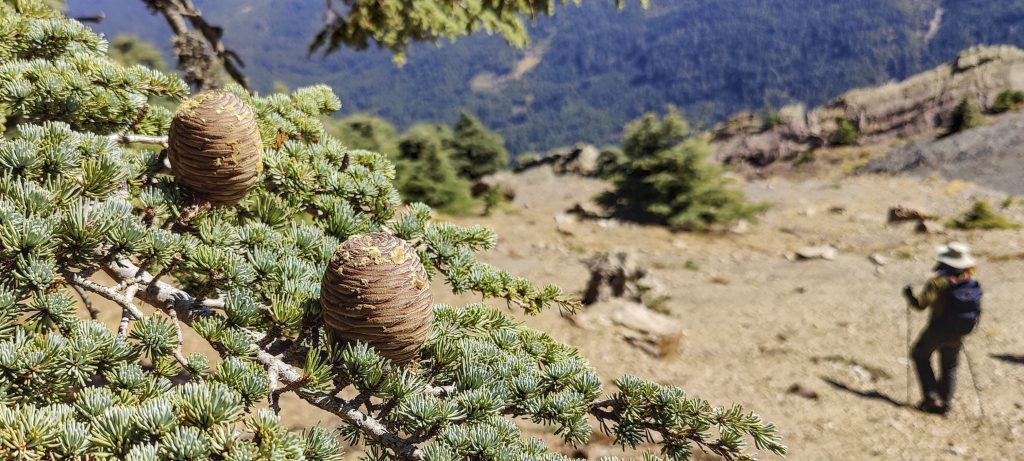
The high point is an easy scramble. I also checked one higher outcrop, 50 metres to the east, but it is obviously lower. There are impressive cedars around, some of which look very old. Nice forest. 

Views from the summit
Rockinstraw (left) and me (right)
Said
Me
Cedars
Stone slabs on the ridge
It’s good to sit in cedar shade
West summit can be seen in the distance
Impressive old cedar forest
Writings on the low-prominence westmost peak
Rockinstraw descending

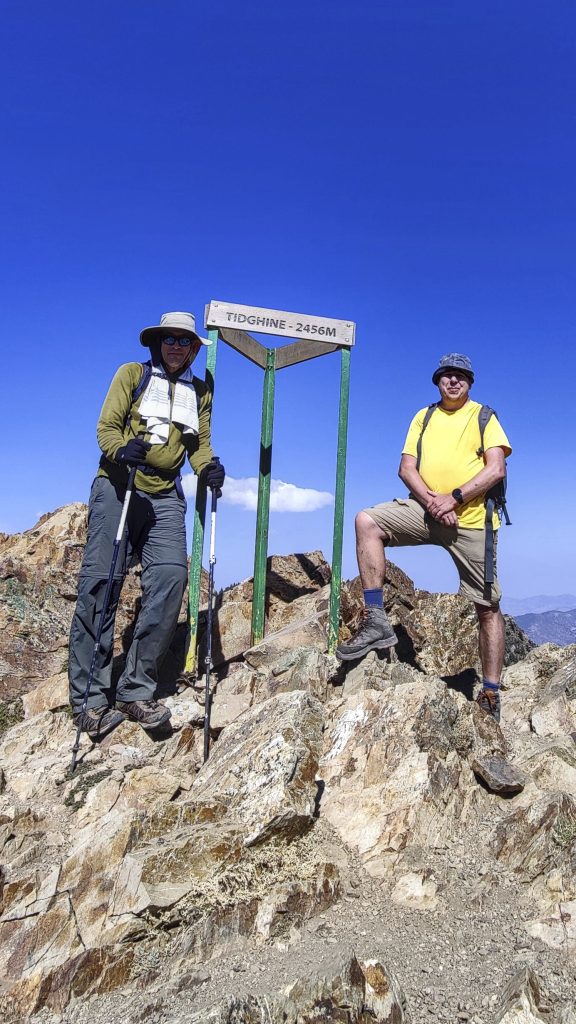
We go down the same path and soon return to the car. Overnight at the Ketama hotel, a tasty dinner at a street barbeque kiosk, and then a long road to Casablanca tomorrow. The last of the five Moroccan ultrapeaks has been climbed. From Casablanca, we fly to Madrid, and the next peak in the plan is Pico Almanzor.

Superb kofte at the Ketama barbeque kiosk

Jebel Tidirhine 2456 m altitude
1901 m prominence
130.82 km isolation
Ranges Atlas Mountains - Northwestern Atlas
Countries/regions Morocco - Tangier-Tetouan-Al Hoceima
Distance 4.20 km up 4.20 km down
Elevation 608 m gain 608 m loss
Time
2h00 up
0h10 other
1h50 down
4h00 total
Trailhead 1847 m altitude 34.8486667, -4.5312500
Route

We started out on the forest road. Then we climbed in a forest off trail, in the southeast direction. Halfway there, we discovered a trail leading to the lower summit, from which we continued on the ridge to the NW, to the true highpoint. On our descent, we followed the same path.

Difficulties

it was difficult to find the trailhead, but we walked straight through the forest and eventually found the trail

Links GPX trail
  • Atlas Mountains 2022
  • « Adrar Bou Nasser
  • Morocco »

Mountain Ranges

Anatolia
Taurus Mountains
Western Anatolia
Andes
Puna de Atacama
Atlas Mountains
High Atlas
Northwestern Atlas
Central America Ranges
Costa Rica-Panama Ranges
Central Central America
Eastern Europe Ranges
Southeast Baltic Plains
Iberian Peninsula
Cordillera Cantabrica
Castile Ranges
Portugal-Galicia
Pyrenees
Malay Archipelago
Java
Nusa Tengarra
Sulawesi
Sumatra
Northwest Europe
Great Britain
North France-West Rhine Area
Southeast South America
Pampas
Sierras de Cordoba
West Africa Mountains
Bight of Benin
Cameroon Mountains

Countries / regions

Algeria
Ain Guezzam
Ain Salah
Aïn Témouchent
El Bayadh
Ghardaïa
Oran
Ouargla
Saïda
Sidi Bel Abbès
Tamanrasset
Argentina
Catamarca
Ciudad Autónoma de Buenos Aires
Córdoba
Jujuy
Salta
Tucumán
Belgium
Brussels Capital Region
Flemish Region
Cameroon
Southwest
Costa Rica
Alajuela
Cartago
Guanacaste
Heredia
Limón
San José
Czechia
Prague
Denmark
Greenland
France
Hauts-de-France
Germany
Berlin
Niedersachsen
Indonesia
Bali
Jambi
Jawa Tengah
Jawa Timur
Nusa Tenggara Barat
Sulawesi Tengah
Sulawesi Utara
Sumatera Barat
Lithuania
Vilnius County
Morocco
Béni Mellal-Khénifra
Drâa-Tafilalet
Fez-Meknes
Marrakesh-Safi
Souss-Massa
Tangier-Tetouan-Al Hoceima
Netherlands
Gelderland
Noord-Holland
Zeeland
Nicaragua
Chinandega
Managua
Masaya
Rivas
Poland
Greater Poland Voivodeship
Masovian Voivodeship
Portugal
Castelo Branco
Leiria
Lisbon
Santarém
São Tomé and Príncipe
São Tomé Province
Spain
Aragón
Asturias
Castilla-La Mancha
Castilla y León
Switzerland
Zürich
Turkey
Antalya
Isparta
Muğla
United Kingdom
England
Scotland
United States
Delaware
Florida
Maryland
New Jersey
New York
South Carolina
Pennsylvania

TRIPS

2023
West Africa II 2023
Iberian Peninsula 2023
West Africa 2023
Central America 2023
2022
Andes 2022
Northwest Europe 2022
Malay Archipelago III 2022
Malay Archipelago II 2022
Anatolia Mountains 2022
Iberian Peninsula 2022
Atlas Mountains 2022
North France-West Rhine Area 2022

archaeology (3) climb (72) food (2) hike (71) p30 (6) p100 (9) p300 (8) p600 (13) p1000 (5) p1500 (34) ribu (4) sight (35) summary (11) ultra (34)

843 km walked, 65 330 m climbed

©2023 p600.org | WordPress Theme by Superbthemes.com