Skip to content
Menu
p600.org
  • home
  • map
  • trips
  • about
p600.org

Jebel Igdet

hike | 2022-08-29
3619 m altitude, 1613 m prominence, 45.02 km isolation

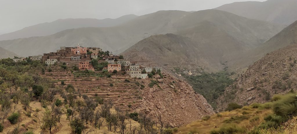
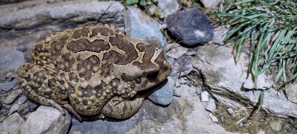
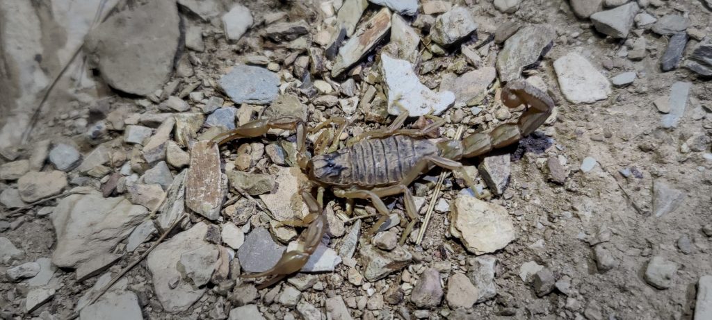
The westernmost ultra-peak of the Atlas Mountains. There are certainly enough reasons to climb it. We get up early in the morning and drive to the village of Arg. We leave the car there, quickly prepare, and start the walk. For a couple of kilometres, we follow a trail trod by locals and mules. On the trail, there are sitting toads of impressive size, they’re so big, they can’t even move when they see me. A few scorpions have also come out on the trail to welcome us.

Start climbing before dawn
Berber toad (Sclerophrys mauritanica)
Scorpion (Buthus occitanus)
Morning mist

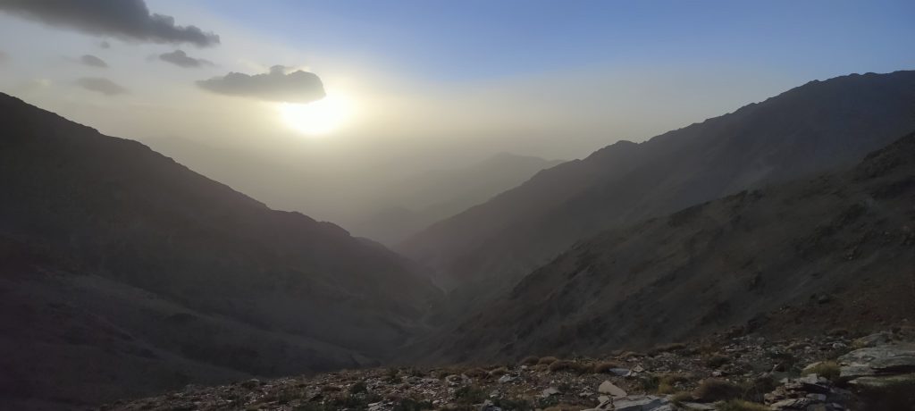
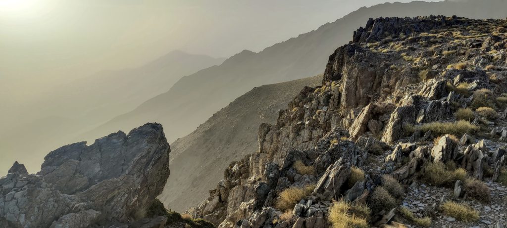
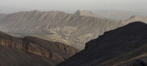
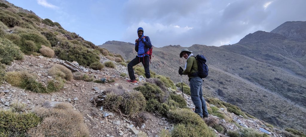
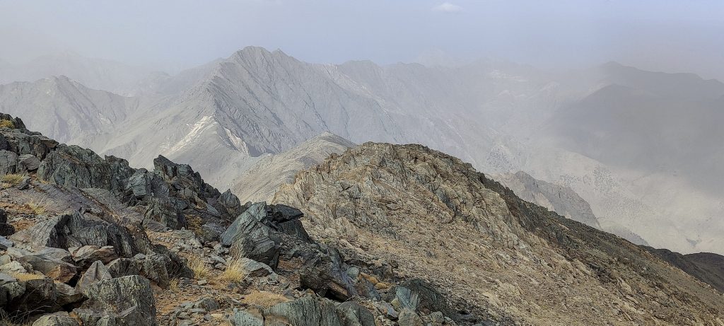
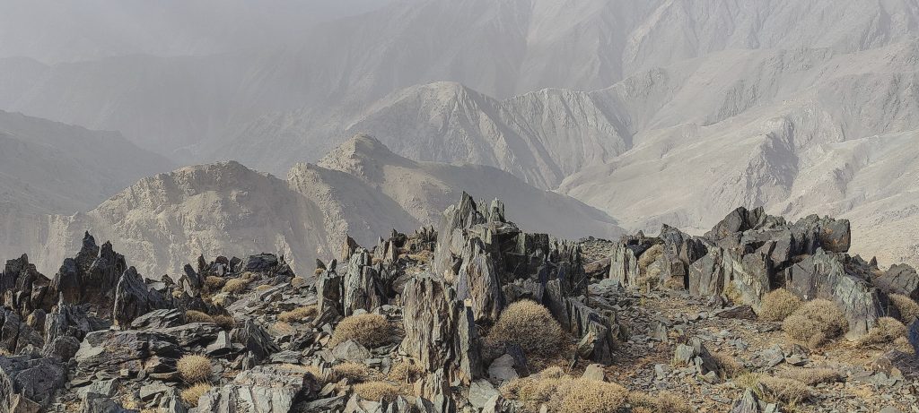
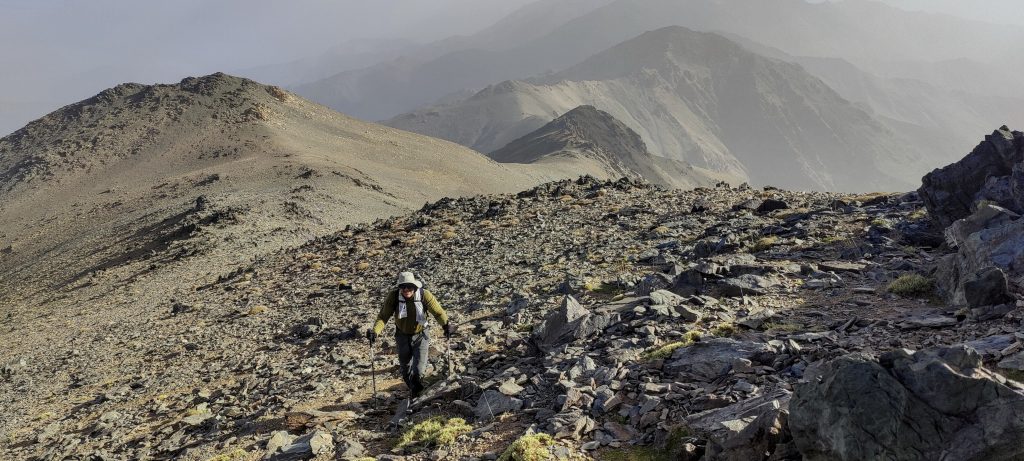
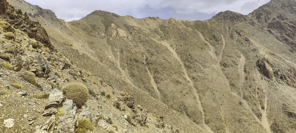
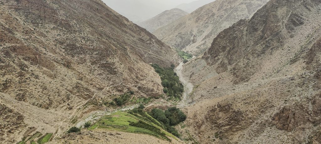
We approach and cross a stream, then climb up a steep slope without a trail, straight towards the ridge. A steep climb, but not dangerous or difficult. The sun is rising, seemingly illuminating the surrounding cliffs and valley. Cool views around

The sun rises and lights up the surrounding slopes
Climbing towards the ridge
Easy strolling along the ridge

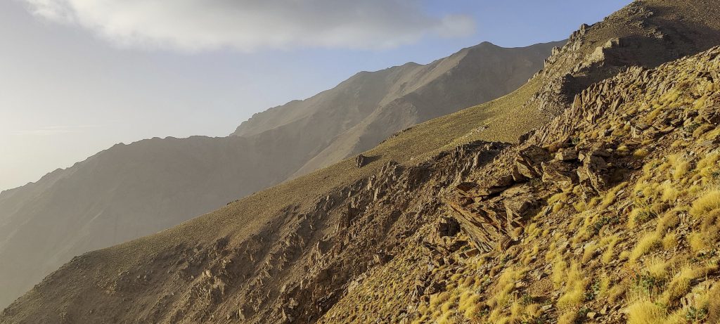
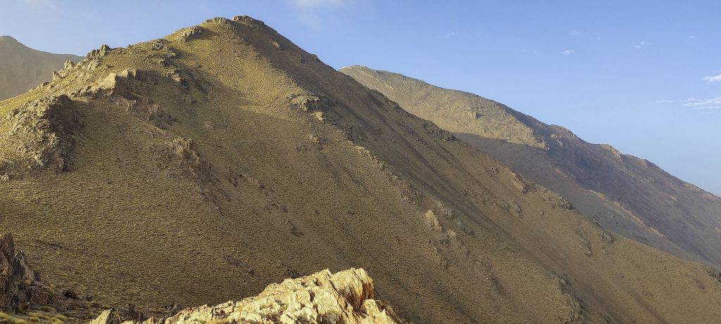
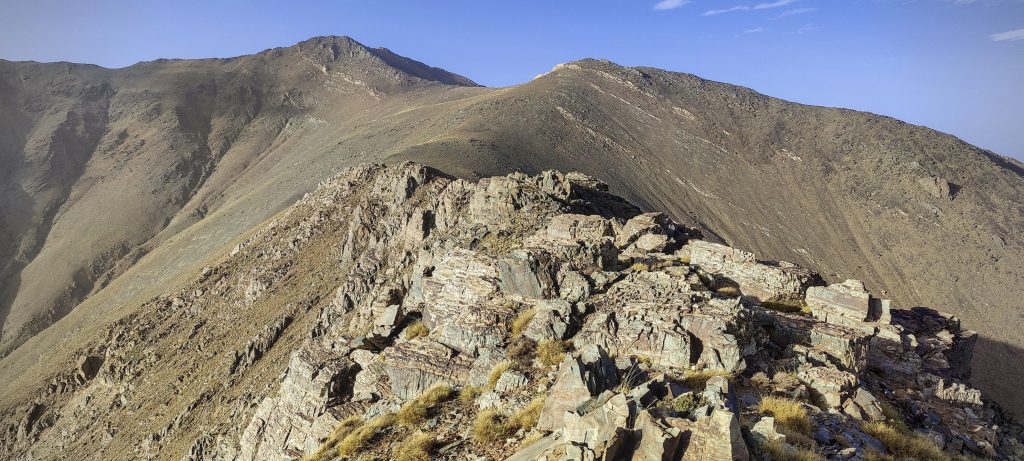
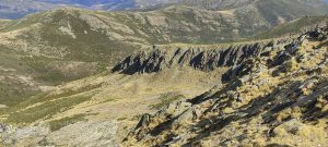
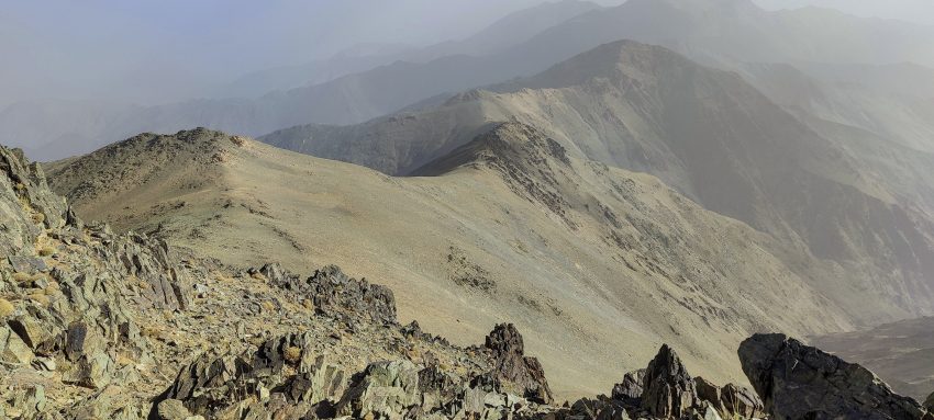
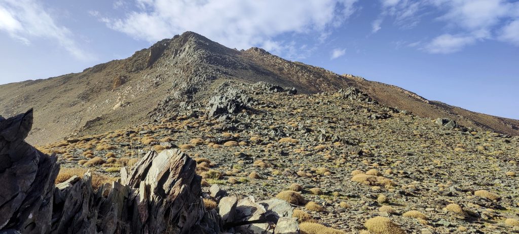
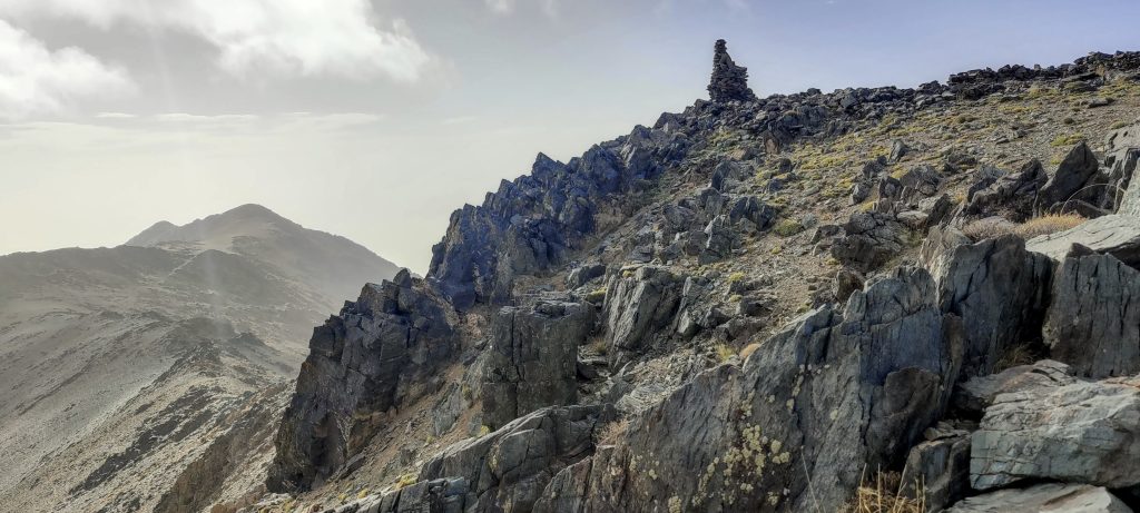
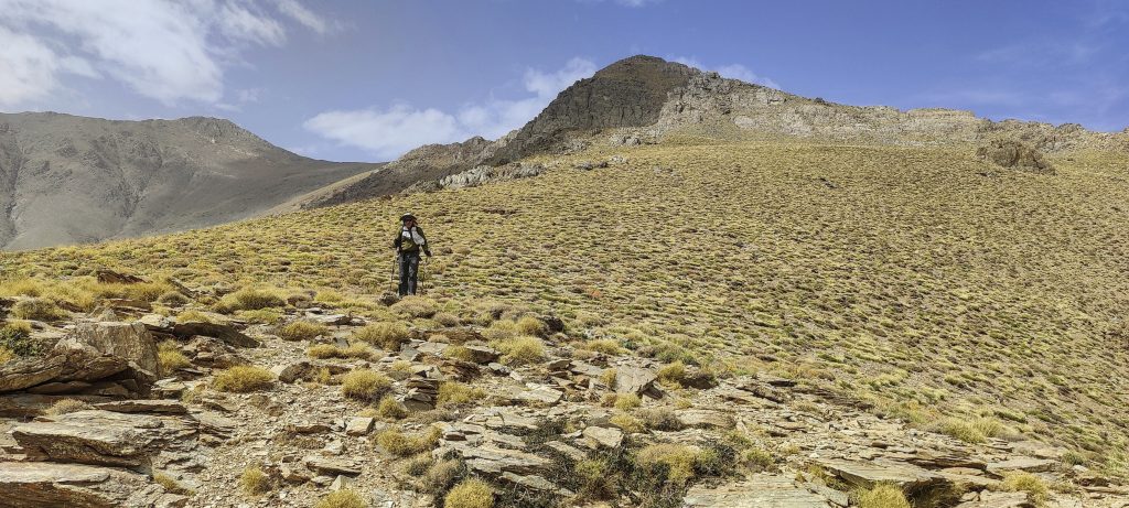
Once we reach the ridge, it is very gradual. There are only a few rocks to go around. In the distance, one can see the summit, which is just over a couple of kilometres away.

Summit ahead
Said and Rockinstraw
Ridge
Looking back near the top
Lower peaks around
Other ridges
Views from the summit
Rockinstraw (left) and me
Said is a skilled and experienced mountain guide
Rockinstraw goes up and down

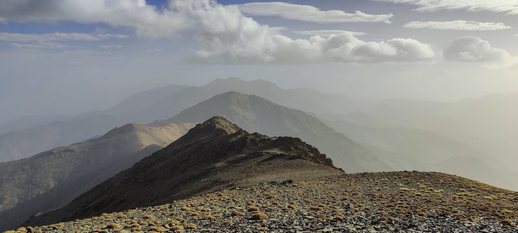
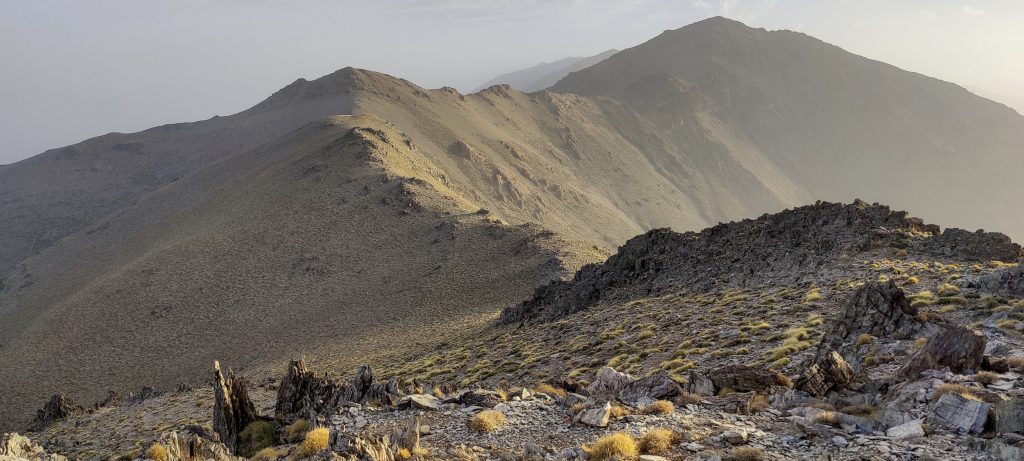
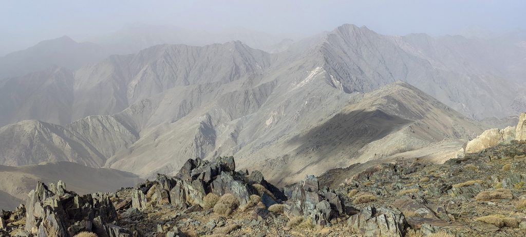
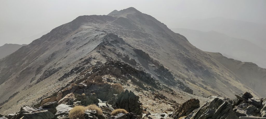
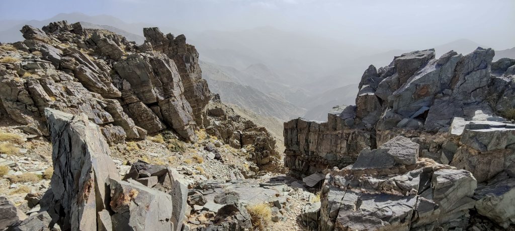
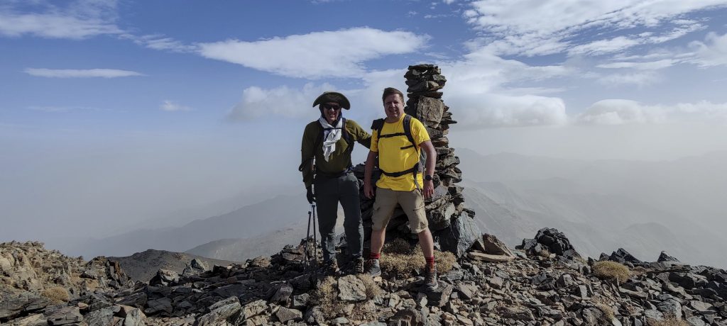
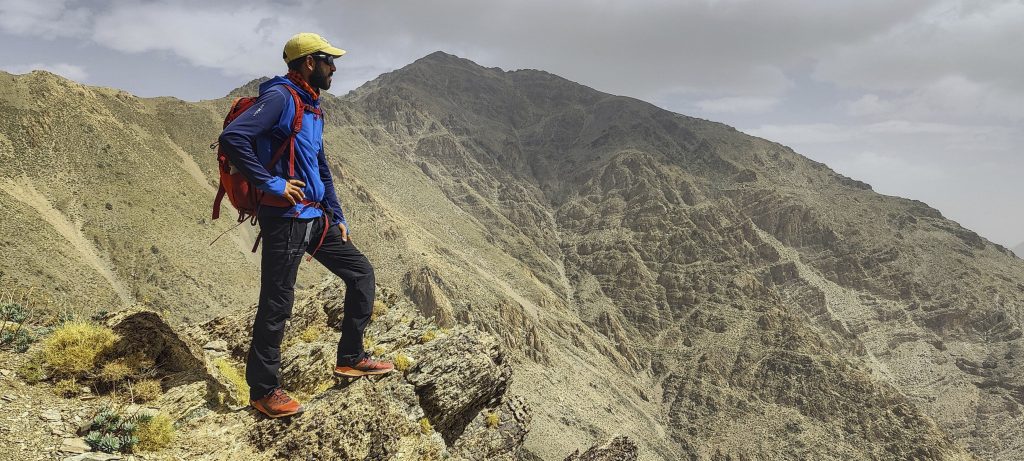
We reach the top quickly, with great views in all directions. We admire them for a few minutes and then descend. Said suggested shortening the hike and going down a closer slope. It’s a good path, though not much shorter. In any case, a new route is always more intriguing.

The valley we came from
At the end of the valley, we climbed up this slope

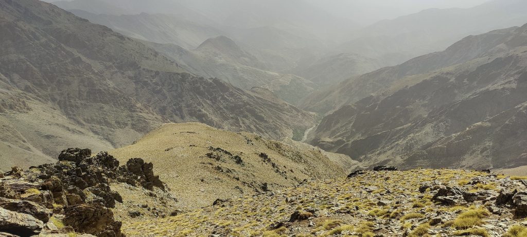
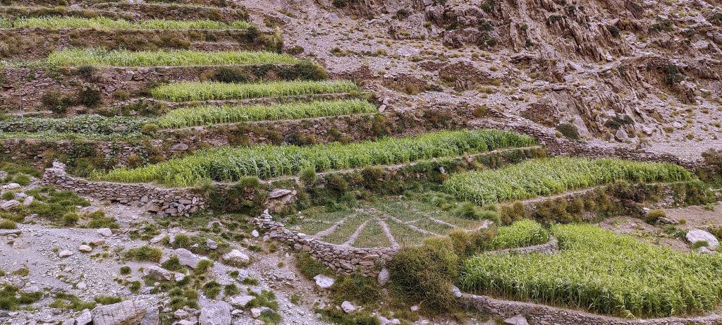
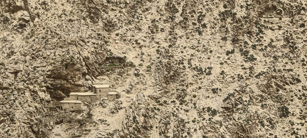
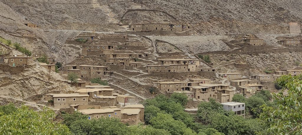
As we descend to the stream, we can see farmers’ fields. The typical houses of the local population are well camouflaged on the mountain slopes. A little more and we are back in the village of Arg.

Typical valley
Typical fields
Typical hauses
Typical transport
Arg village is where we left our car

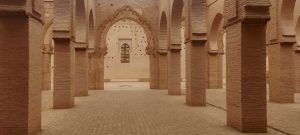
Well begun is half done! We’ve just climbed the first of five planned ultrapeaks in Morocco. We head towards Jebel Toubkal, stopping and checking out the interesting Tinmal Mosque along the way.

A typical village is seen on the way

Jebel Igdet 3619 m altitude
1613 m prominence
45.02 km isolation
Ranges Atlas Mountains - High Atlas
Countries/regions Morocco - Marrakesh-Safi
Distance 6.60 km up 6.70 km down
Elevation 1447 m gain 1447 m loss
Time
4h20 up
0h15 other
4h00 down
8h35 total
Trailhead 3619 m altitude 30.9912222, -8.4088611
Route

We start NE, leaving our car in the Arg village. At the beginning, we walk a farmer's trail and, moving SW, continue along the creek to the W, then keeping W off trail to the ridge via a steep, stony slope. Finally, a relatively flat and pleasant ridge walk S direction to the summit. We take the same path back, with the exception that we start descending slopes earlier and, in theory, make a shortcut that does not work in practice. 

Difficulties

Off trail, but the terrain is not difficult.

Links GPX trail
  • Atlas Mountains 2022
  • « Lobo
  • Tinmal Mosque »

Mountain Ranges

Anatolia
Taurus Mountains
Western Anatolia
Andes
Puna de Atacama
Atlas Mountains
High Atlas
Northwestern Atlas
Central America Ranges
Costa Rica-Panama Ranges
Central Central America
Eastern Europe Ranges
Southeast Baltic Plains
Iberian Peninsula
Cordillera Cantabrica
Castile Ranges
Portugal-Galicia
Pyrenees
Malay Archipelago
Java
Nusa Tengarra
Sulawesi
Sumatra
Northwest Europe
Great Britain
North France-West Rhine Area
Southeast South America
Pampas
Sierras de Cordoba
West Africa Mountains
Bight of Benin
Cameroon Mountains

Countries / regions

Algeria
Ain Guezzam
Ain Salah
Aïn Témouchent
El Bayadh
Ghardaïa
Oran
Ouargla
Saïda
Sidi Bel Abbès
Tamanrasset
Argentina
Catamarca
Ciudad Autónoma de Buenos Aires
Córdoba
Jujuy
Salta
Tucumán
Belgium
Flemish Region
Brussels Capital Region
Cameroon
Southwest
Costa Rica
Alajuela
Cartago
Guanacaste
Heredia
Limón
San José
Czechia
Prague
Denmark
Greenland
France
Hauts-de-France
Germany
Berlin
Niedersachsen
Indonesia
Bali
Jambi
Jawa Tengah
Jawa Timur
Nusa Tenggara Barat
Sulawesi Tengah
Sulawesi Utara
Sumatera Barat
Lithuania
Vilnius County
Morocco
Béni Mellal-Khénifra
Drâa-Tafilalet
Fez-Meknes
Marrakesh-Safi
Souss-Massa
Tangier-Tetouan-Al Hoceima
Netherlands
Gelderland
Noord-Holland
Nicaragua
Chinandega
Managua
Masaya
Rivas
Poland
Greater Poland Voivodeship
Masovian Voivodeship
Portugal
Castelo Branco
Leiria
Lisbon
Santarém
São Tomé and Príncipe
São Tomé Province
Spain
Aragón
Asturias
Castilla-La Mancha
Castilla y León
Switzerland
Zürich
Turkey
Antalya
Isparta
Muğla
United Kingdom
England
Scotland
United States
Delaware
Florida
Georgia
Maryland
New Jersey
New York
North Carolina
South Carolina
Pennsylvania
Virginia

TRIPS

2023
West Africa 2023 II
Iberian Peninsula 2023
West Africa 2023
Central America 2023
2022
Andes 2022
Northwest Europe 2022
Malay Archipelago III 2022
Malay Archipelago II 2022
Anatolia Mountains 2022
Iberian Peninsula 2022
Atlas Mountains 2022

archaeology (3) climb (69) food (2) hike (68) p30 (3) p100 (9) p300 (8) p600 (13) p1000 (5) p1500 (34) ribu (4) sight (34) summary (11) ultra (34)

839 km walked, 65 247 m climbed

©2023 p600.org | WordPress Theme by Superbthemes.com