Skip to content
Menu
p600.org
  • home
  • map
  • trips
  • about
p600.org

Pico Almanzor

hike | 2022-09-07
2591 m altitude, 1686 m prominence, 326.89 km isolation

After successfully climbing five ultrapeaks in Morocco, we arrive in Madrid, get in the car, and a couple of hours later, we stay in the village of Hoyos del Espino, which is reasonably close to the trail. Pico Almanzor is the first of three planned peaks in mainland Spain. Good, we have a plan; we are here; everything is as expected.

After crossing the ridge, we saw the summit (right)
On one side of the trail is a lake; on the other side are rocks
Getting a little brighter

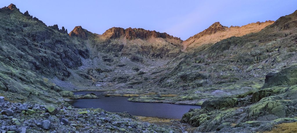
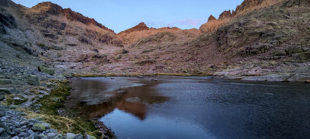
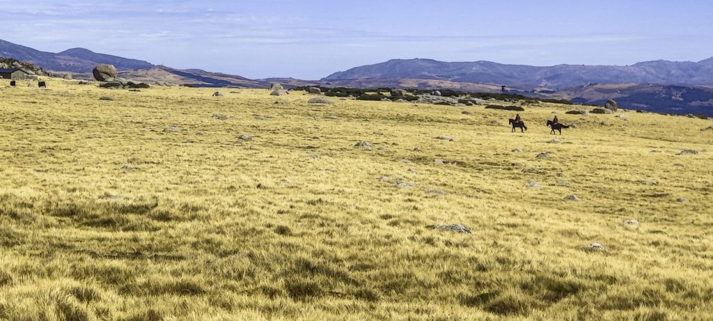
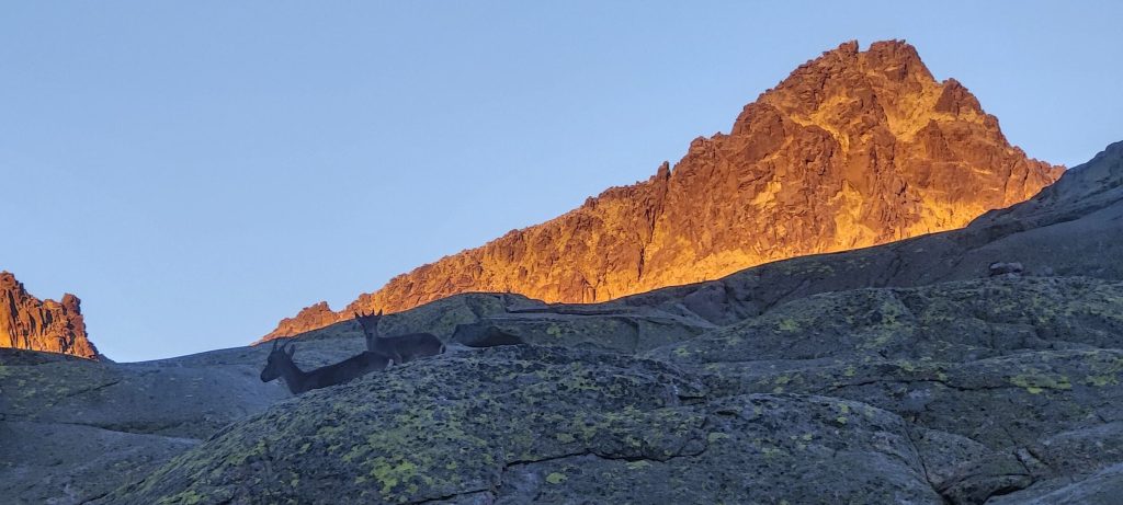
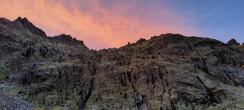
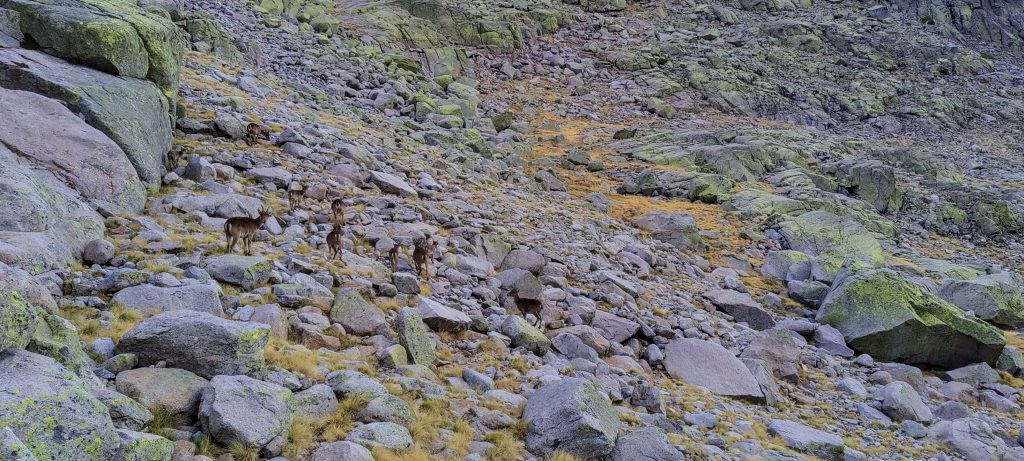
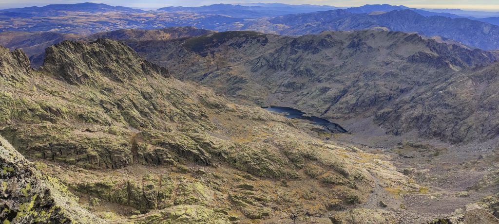
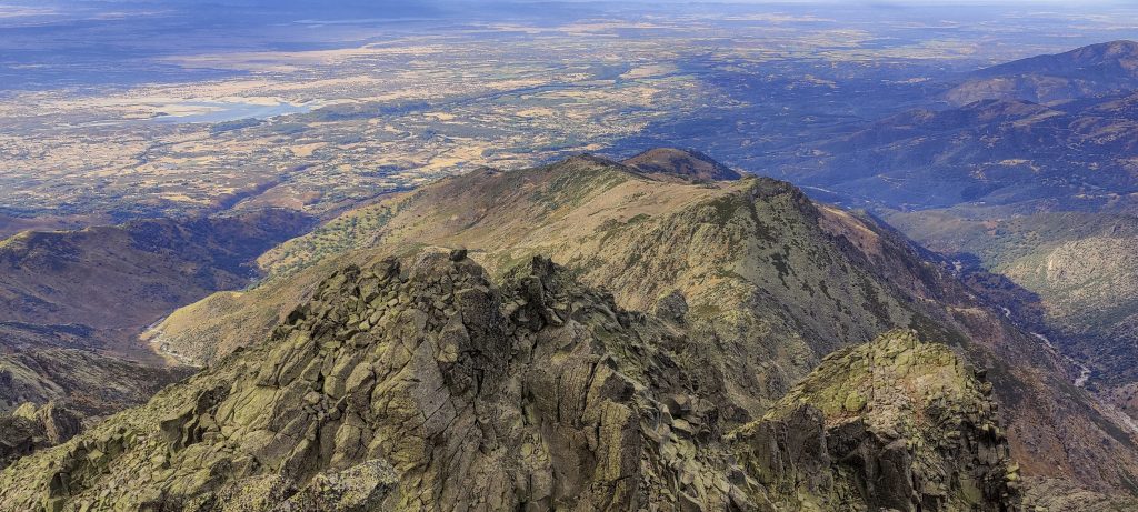
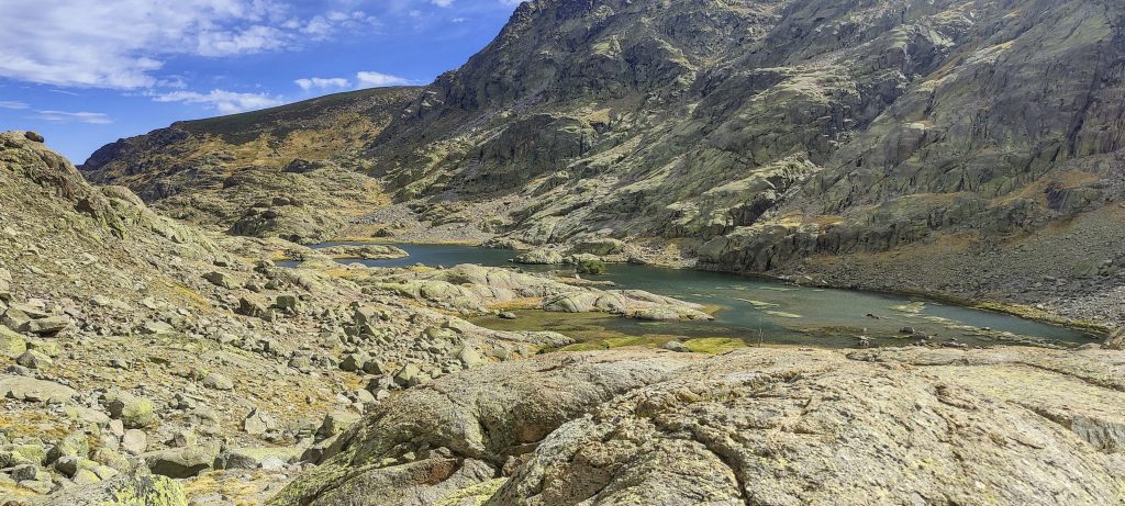
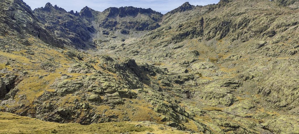
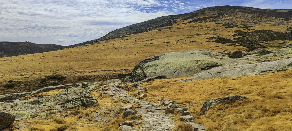
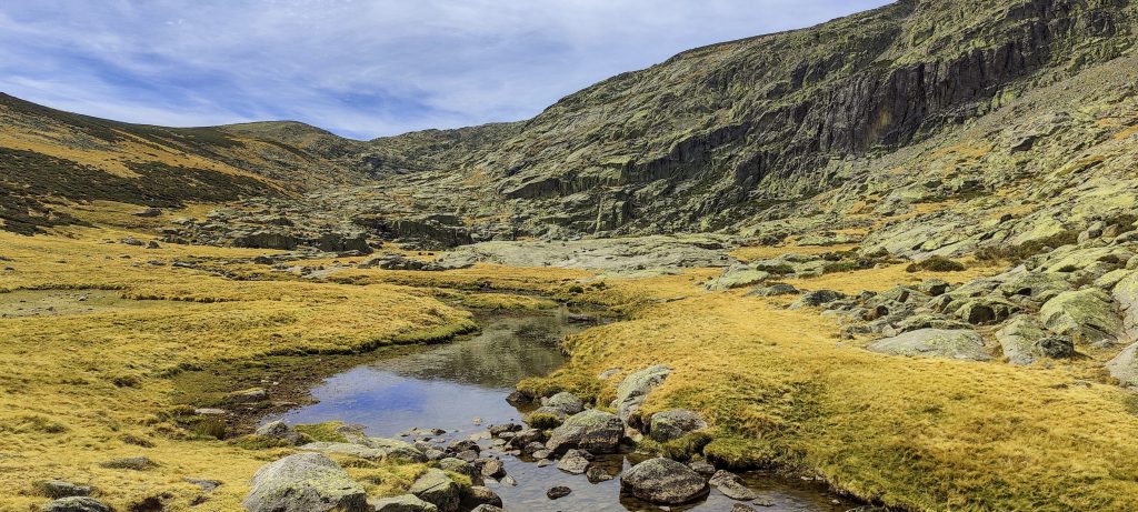
We get up a few hours before sunrise, drive and leave the car at dedicated parking at 40.27587, -5.23194, and walk in the dark for a couple of hours. After crossing the ridge and approaching the Laguna Grande lake, it starts to get light. A hut is open, but we don’t stop, and we keep moving on a clear, gradual trail that is not difficult to follow.

The sky on the other side of the lake is red
The sun illuminates the summit
Company on the slopes
A cool ridge on the other side of the lake
Reddening and yellowing surrounding mountain ridges
Surrounding views while climbing the gully

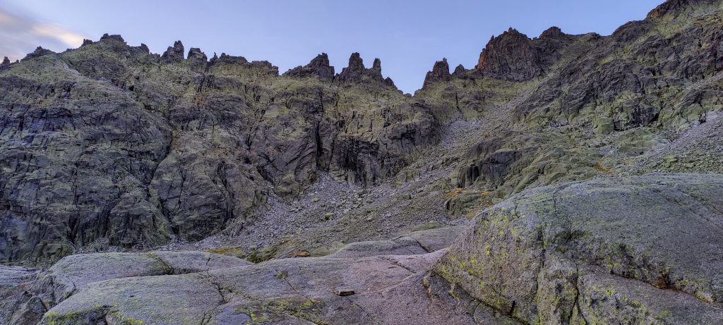
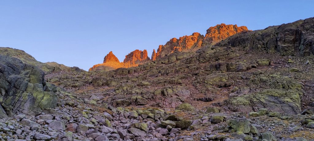
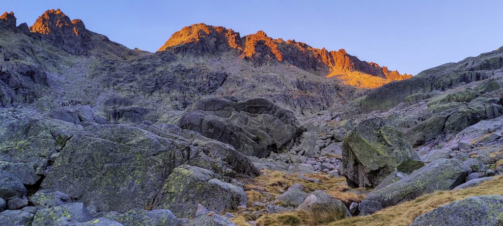
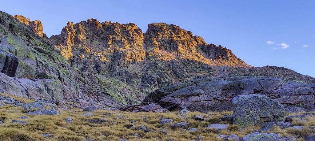
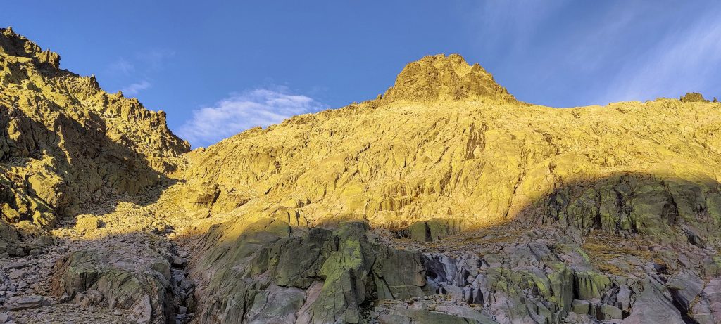
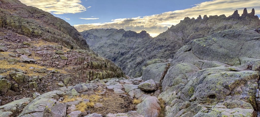
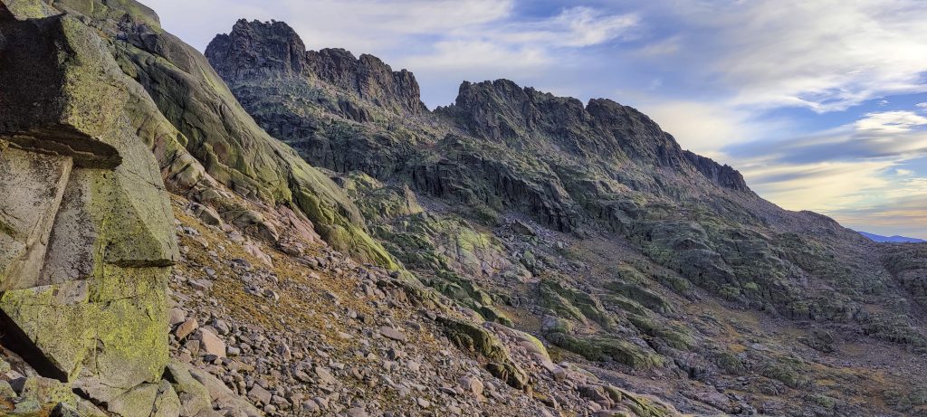
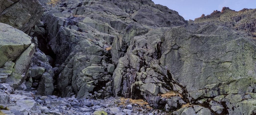
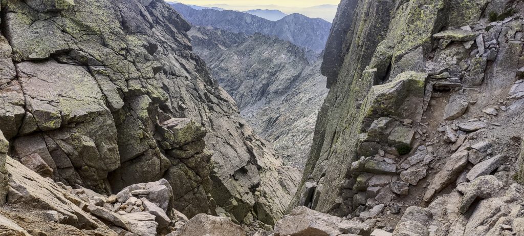
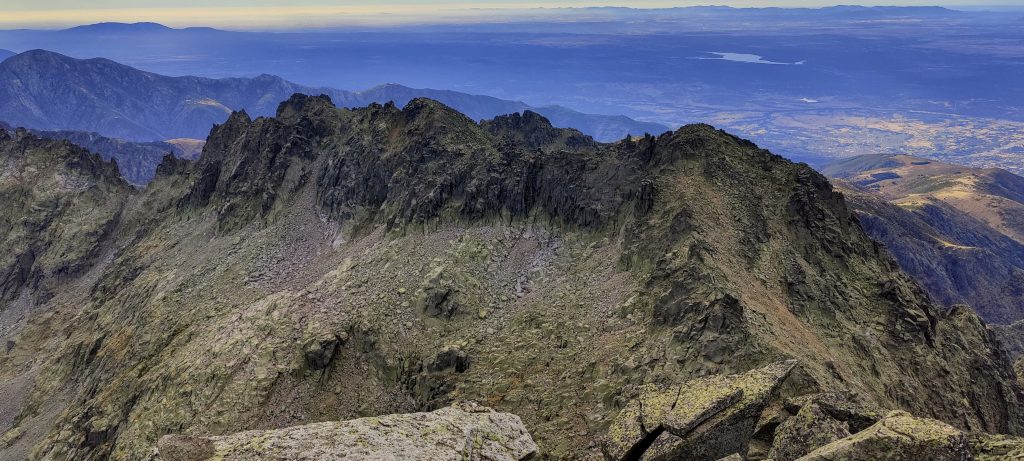
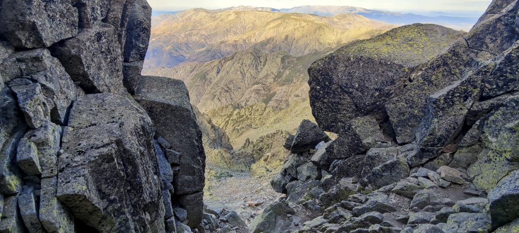
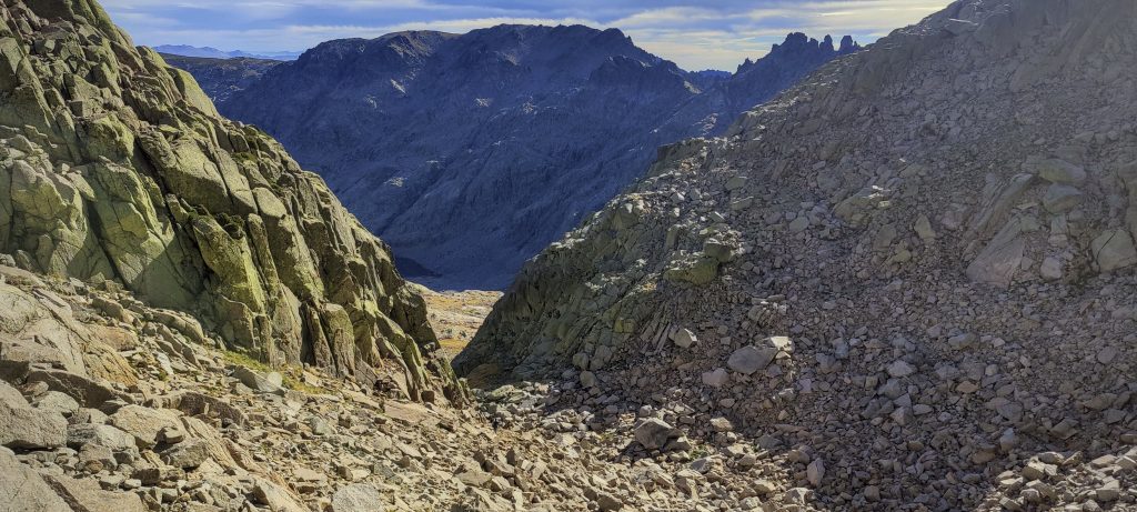
Trails lead up a gully. We’re almost to the top and need to scramble, which is easy and safe at first, but there are some exposed steps in the last few meters. I think about how the step will have to be repeated on the descent. But, later on, going down was easier than it looked.

Climbing gully
Near the top, bit of rock climb
Views through steep rocks
Rockinstraw (left) and the Basque couple (right) on the summit

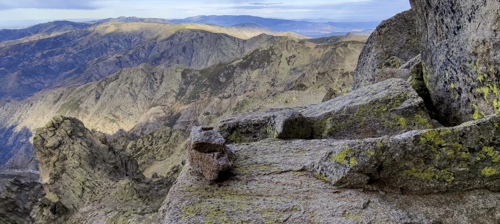
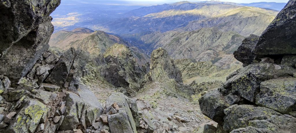
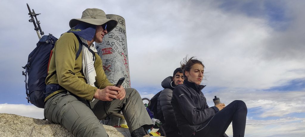
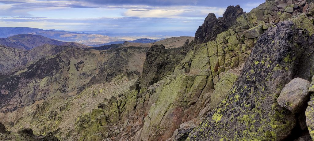
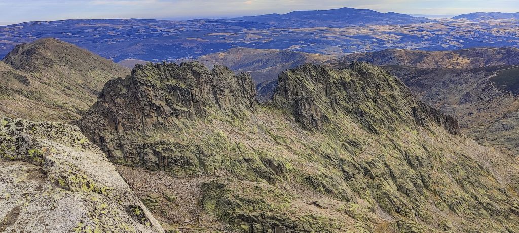
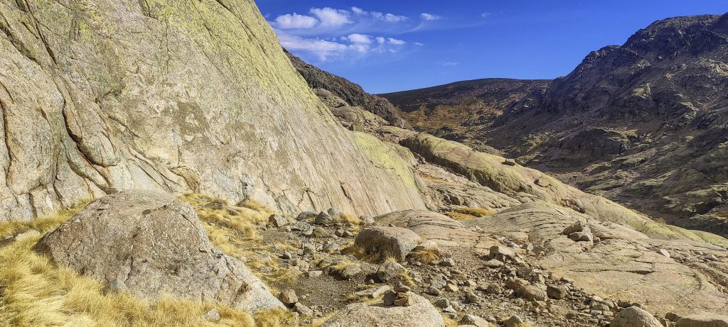
At the top, there is a big rock that one has to climb if one wants to get to the triangulation pillar. A Basque couple catches up with us. We take pictures of them, and they take pictures of us. After a few minutes, we go down the same road. A gully, a hut, a lake, a couple of hundred metres of ascent to the ridge, a descent, and then a car park again.

Laguna Grande and most of the trail are visible in a valley
Morezon – 2389m ??
Surrounding lower peaks
Views on the descent
Descending through the gully
Lower down, it’s simple to walk over smooth rocks
Cerro de los Huertos – 2459m ??
One more look at the summit before returning to the car
The competition is fierce today
Surrounding peaks
Crossing the Arroyo de las Pozas river via bridge

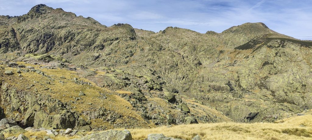
Another Spanish ultrapeak has been climbed. We have two more left, a quick lunch, and we are heading north. Tomorrow we will try to get to the Pyrenees highpoint, Pico de Aneto.

Once Upon a Time in America.. ahh, i mean Spain

Pico Almanzor 2591 m altitude
1686 m prominence
326.89 km isolation
Ranges Iberian Peninsula - Castile Ranges
Countries/regions Spain - Castilla y León
Distance 9.50 km up 9.50 km down
Elevation 1199 m gain 1199 m loss
Time
4h05 up
0h10 other
3h50 down
8h05 total
Trailhead 1794 m altitude 40.2758056, -5.2318889
Route

We began at the parking lot to the northeast of the summit. Then, a wide tourist trail ascends a small ridge to the southwest, descends to the lake, and leads to the hut. It's a good but much steeper trail from there to the summit, in a gully that has a few loose stones but isn't too bad. An exposed scramble is about 10 metres below the summit. It would be more accurate to say "a few exposed steps." On the way down, we took the same path.

Difficulties

A few short but exposed rock climbs close to the summit

Links GPX trail
  • Iberian Peninsula 2022
  • « Atlas Mountains 2022
  • Pico de Aneto »

Mountain Ranges

Anatolia
Taurus Mountains
Western Anatolia
Andes
Puna de Atacama
Atlas Mountains
High Atlas
Northwestern Atlas
Central America Ranges
Costa Rica-Panama Ranges
Central Central America
Eastern Europe Ranges
Southeast Baltic Plains
Iberian Peninsula
Cordillera Cantabrica
Castile Ranges
Portugal-Galicia
Pyrenees
Malay Archipelago
Java
Nusa Tengarra
Sulawesi
Sumatra
Northwest Europe
Great Britain
North France-West Rhine Area
Southeast South America
Pampas
Sierras de Cordoba
West Africa Mountains
Bight of Benin
Cameroon Mountains

Countries / regions

Algeria
Ain Guezzam
Ain Salah
Aïn Témouchent
El Bayadh
Ghardaïa
Oran
Ouargla
Saïda
Sidi Bel Abbès
Tamanrasset
Argentina
Catamarca
Ciudad Autónoma de Buenos Aires
Córdoba
Jujuy
Salta
Tucumán
Belgium
Flemish Region
Brussels Capital Region
Cameroon
Southwest
Costa Rica
Alajuela
Cartago
Guanacaste
Heredia
Limón
San José
Czechia
Prague
Denmark
Greenland
France
Hauts-de-France
Germany
Berlin
Niedersachsen
Indonesia
Bali
Jambi
Jawa Tengah
Jawa Timur
Nusa Tenggara Barat
Sulawesi Tengah
Sulawesi Utara
Sumatera Barat
Lithuania
Vilnius County
Morocco
Béni Mellal-Khénifra
Drâa-Tafilalet
Fez-Meknes
Marrakesh-Safi
Souss-Massa
Tangier-Tetouan-Al Hoceima
Netherlands
Gelderland
Noord-Holland
Nicaragua
Chinandega
Managua
Masaya
Rivas
Poland
Greater Poland Voivodeship
Masovian Voivodeship
Portugal
Castelo Branco
Leiria
Lisbon
Santarém
São Tomé and Príncipe
São Tomé Province
Spain
Aragón
Asturias
Castilla-La Mancha
Castilla y León
Switzerland
Zürich
Turkey
Antalya
Isparta
Muğla
United Kingdom
England
Scotland
United States
Delaware
Florida
Georgia
Maryland
New Jersey
New York
North Carolina
South Carolina
Pennsylvania
Virginia

TRIPS

2023
West Africa 2023 II
Iberian Peninsula 2023
West Africa 2023
Central America 2023
2022
Andes 2022
Northwest Europe 2022
Malay Archipelago III 2022
Malay Archipelago II 2022
Anatolia Mountains 2022
Iberian Peninsula 2022
Atlas Mountains 2022

archaeology (3) climb (69) food (2) hike (68) p30 (3) p100 (9) p300 (8) p600 (13) p1000 (5) p1500 (34) ribu (4) sight (34) summary (11) ultra (34)

839 km walked, 65 247 m climbed

©2023 p600.org | WordPress Theme by Superbthemes.com