Skip to content
Menu
p600.org
  • home
  • map
  • trips
  • about
p600.org

Cantagalo

hike | 2023-02-04

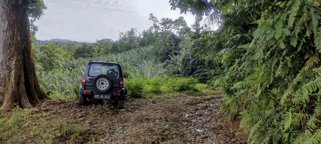
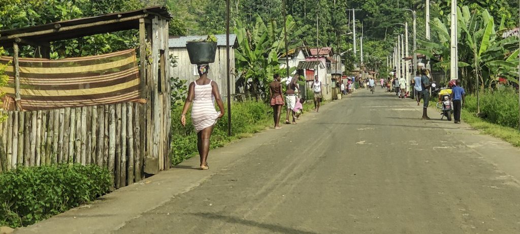
The last of today’s summits was relatively easy, but harder than expected. We tried to approach from the south-east, but were turned back by some gentlemen, so we drove around the southern peninsula and parked our car on the side of a rough forest track. A stronger car could have gone a few more kilometres, but driving was not much faster than walking.

Summit is in the middle of the forest
Forest road is faster to walk than to drive
Our improvised car park on the side of the road

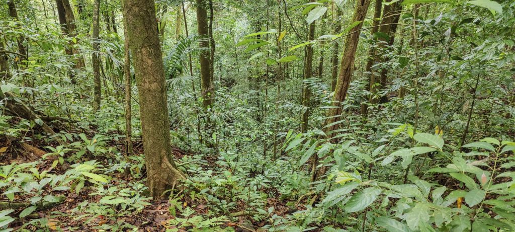
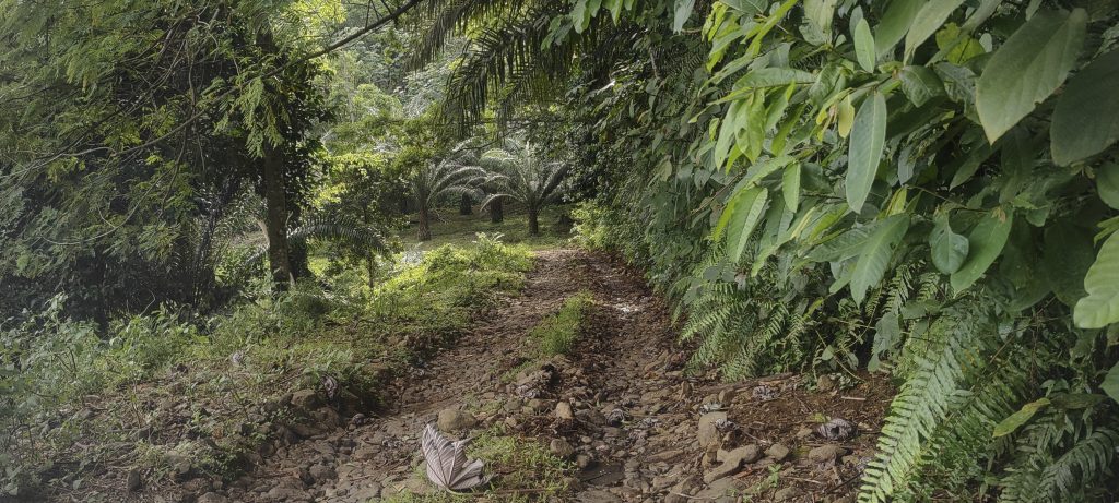
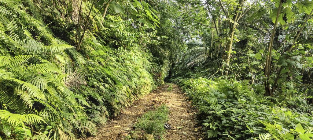
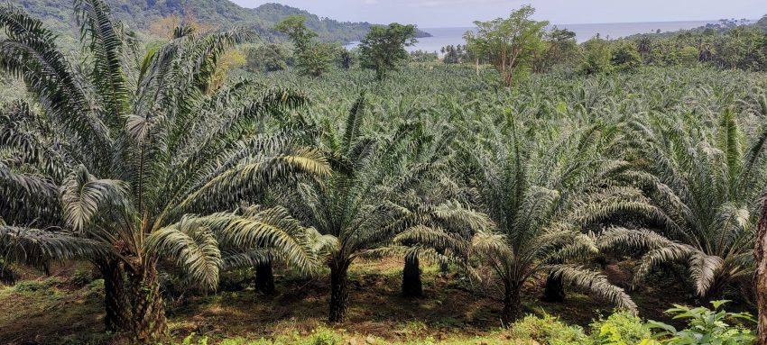
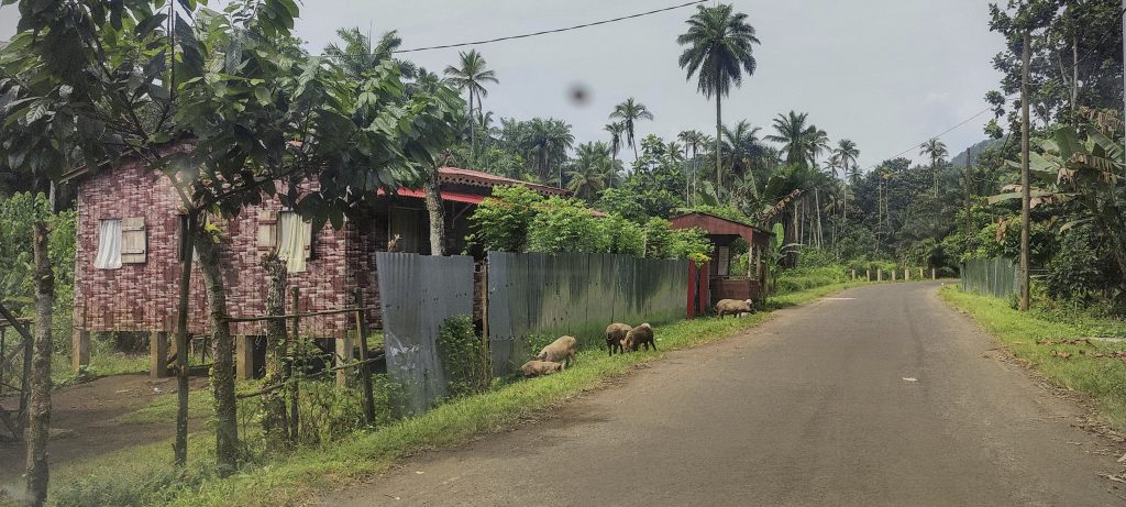
We made our way through the oil palm plantations to the foot of the mountain, trying to access it in a couple of places, but it was not easy due to the dense vegetation. We decided to walk around and soon found a ravine with less dense forest. The slopes were steep but passable and getting up was much easier than finding the highest point. Finally, after another ten minutes of wandering, we reached what seemed to be the highest point, which also corresponded to the topographical lines. On the way down, we took a shortcut along the north-east slope and then rejoined our original path in the plantation.

Nearby villages on the way back
The empty streets of São Tomé
A typical raised house

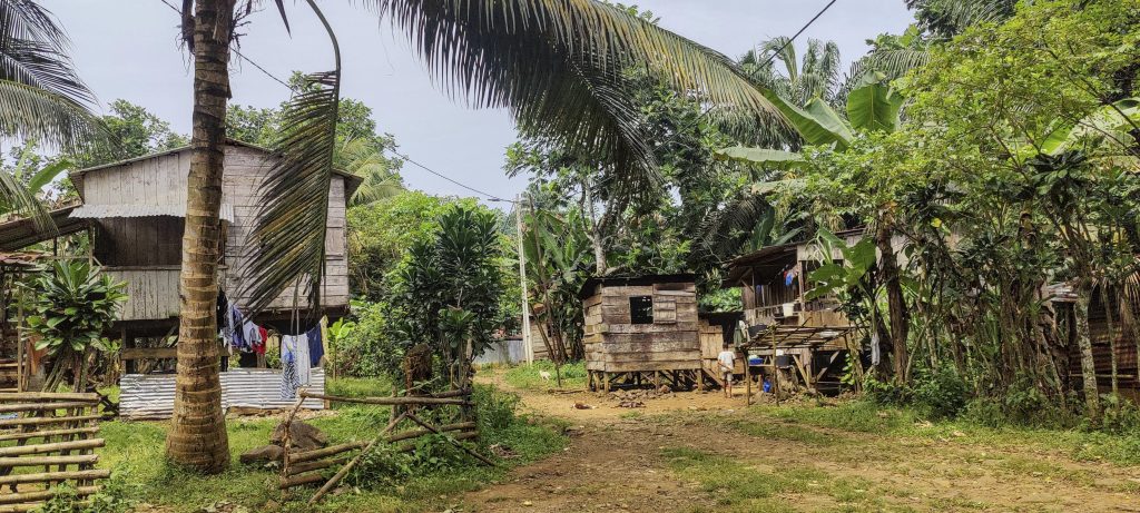
This was the third P100 summit today, not bad considering how well vegetated this equatorial island is. Tomorrow we will climb peaks on the north side of São Tomé, starting from Pico Boa Entrada.


Cantagalo252 m altitude
167 m prominence
RangesWest Africa Mountains - Bight of Benin
Countries/regionsSão Tomé and Príncipe - São Tomé Province
Distance2.60 km up3.00 km down
Elevation139 m gain139 m loss
Time
1h00 up
0h05 other
0h50 down
1h55 total
Trailhead112 m altitude0.0531380, 6.5311660
Route<p>Driving down a small plantation/forest road, our car speed soon dropped below walking speed. At one of the bends we left the car and walked the rest of the way on the same road. About half a kilometre from the summit we crossed the plantation and tried to go straight to the summit, but were initially unsuccessful as the jungle was too dense. We then walked along the contour and soon found an entrance to the forest that was less dense. We climbed up a steep slope towards the summit, followed by another two hundred metres on a fairly level surface to reach the actual summit. On the way down, another slope looked more attractive, so we went down it, but as usual it wasn't much better. Once on the flat, we made our way back through the plantation to the road and our car.</p>
Difficulties<p>Climb a steep slope off the trail in the jungle and identify the true summit</p>
LinksGPX trail
  • West Africa 2023
  • « Lama Porco
  • Pico Boa Entrada »

Mountain Ranges

Anatolia
Central Anatolia
Pontic Mountains
Southeast Anatolia
Taurus Mountains
Western Anatolia
Andes
Puna de Atacama
Atlas Mountains
High Atlas
Northwestern Atlas
Central America Ranges
Costa Rica-Panama Ranges
Central Central America
East China
Taiwan
Eastern Europe Ranges
Southeast Baltic Plains
Iberian Peninsula
Cordillera Cantabrica
Castile Ranges
Portugal-Galicia
Pyrenees
Intermountain West
Great Basin Ranges
Korea-Amur Area
Taebaek Sanmae
Malay Archipelago
Java
Nusa Tengarra
Sulawesi
Sumatra
Mid-Atlantic Islands
North Atlantic Islands
Mongolia Ranges
Altai
Gobi Desert Ranges
Hangay Mountains
Northwest Europe
Great Britain
North France-West Rhine Area
Pacific Ranges
Cascade Range
Northwest U.S. Coast Ranges
Sierra Nevada
Central and Southern California Ranges
Philippines
Central Philippines
Luzon
Mindanao
Southeast Asia
Malay Peninsula
Southeast South America
Pampas
Sierras de Cordoba
Southern Africa
Malawi Highlands
West Africa Mountains
Bight of Benin
Cameroon Mountains
Guinea Highlands

Countries / regions

Algeria
Ain Guezzam
Ain Salah
Aïn Témouchent
El Bayadh
Ghardaïa
Oran
Ouargla
Saïda
Sidi Bel Abbès
Tamanrasset
Argentina
Catamarca
Ciudad Autónoma de Buenos Aires
Córdoba
Jujuy
Salta
Tucumán
Belgium
Brussels Capital Region
Flemish Region
Cameroon
Southwest
China
Taiwan
Costa Rica
Alajuela
Cartago
Guanacaste
Heredia
Limón
San José
Czechia
Prague
Denmark
Greenland
France
Hauts-de-France
Occitania
Germany
Berlin
Niedersachsen
Indonesia
Bali
Jambi
Jawa Tengah
Jawa Timur
Nusa Tenggara Barat
Sulawesi Tengah
Sulawesi Utara
Sumatera Barat
Lithuania
Vilnius County
Mongolia
Bayankhongor
Govi-Altai
Khovd
Omnogovi
Ovorkhangai
Ulan Bator
Zavkhan
Morocco
Béni Mellal-Khénifra
Drâa-Tafilalet
Fez-Meknes
Marrakesh-Safi
Souss-Massa
Tangier-Tetouan-Al Hoceima
Mozambique
Zambezia
Netherlands
Gelderland
Noord-Holland
Zeeland
Nicaragua
Chinandega
Managua
Masaya
Rivas
Philippines
Bicol Region (V)
Cagayan Valley (II)
Calabarzon (IV-A)
Central Luzon (III)
Cordillera Administrative Region
Davao Region
Metro Manila
Soccsksargen (XII)
Western Visayas (VI)
Poland
Greater Poland Voivodeship
Masovian Voivodeship
Portugal
Castelo Branco
Leiria
Lisbon
Madeira
Santarém
Qatar
Ad-Dawhah
São Tomé and Príncipe
São Tomé Province
Sierra Leone
Northern Province
Western Area
Singapore
South Korea
Gyeongsangnam-do
Seoul
Spain
Aragón
Asturias
Castilla-La Mancha
Castilla y León
Catalonia
Islas Canarias
Switzerland
Zürich
Turkey
Antalya
Bitlis
Erzincan
Hakkâri
Igdir
Isparta
Kahraman Maras
Muğla
United Kingdom
England
Scotland
United States
California
Delaware
Florida
Maryland
Nevada
New Jersey
New York
Pennsylvania
South Carolina
Utah

TRIPS

2024
Southern Africa 2024
Mid-Atlantic Islands 2024
North America 2024
Anatolia 2024
Korea-Amur Area 2024
East China 2024
2023
Mongolia Ranges 2023
Philippines 2023
West Africa III 2023
West Africa II 2023
Iberian Peninsula 2023
West Africa 2023
Central America 2023
2022
Andes 2022
Northwest Europe 2022
Malay Archipelago III 2022
Malay Archipelago II 2022
Anatolia Mountains 2022
Iberian Peninsula 2022
Atlas Mountains 2022
North France-West Rhine Area 2022

archaeology (3) climb (157) food (2) hike (155) p30 (17) p50 (4) p100 (24) p300 (12) p600 (17) p1000 (11) p1500 (76) ribu (10) sight (46) summary (16) trig (44) ultra (76)

1 591 km walked, 121 298 m climbed

©2025 p600.org | WordPress Theme by Superbthemes.com