Skip to content
Menu
p600.org
  • home
  • map
  • trips
  • about
p600.org

Dublin Island Highpoint

hike | 2023-03-30

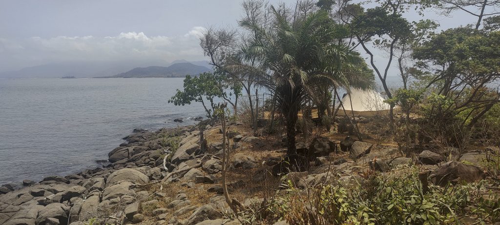
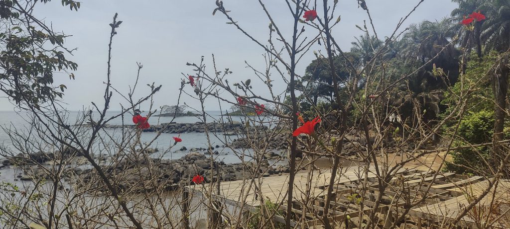
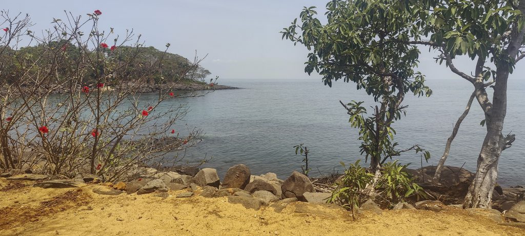
Situated off the coast of Yawri Bay, south-west of the Freetown peninsula, the Banana Islands are a group of three islands. The name comes from their shape, which resembles a banana. Dublin and Ricketts are connected by a stone causeway, while Mes-Meheux is privately owned and used as an adventure tourism destination. Dublin Island is known for its beaches and Ricketts Island for its forests. The islands are home to around 900 people.

Our boat is being loaded with other goods
Kent port (left)
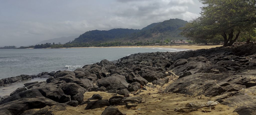
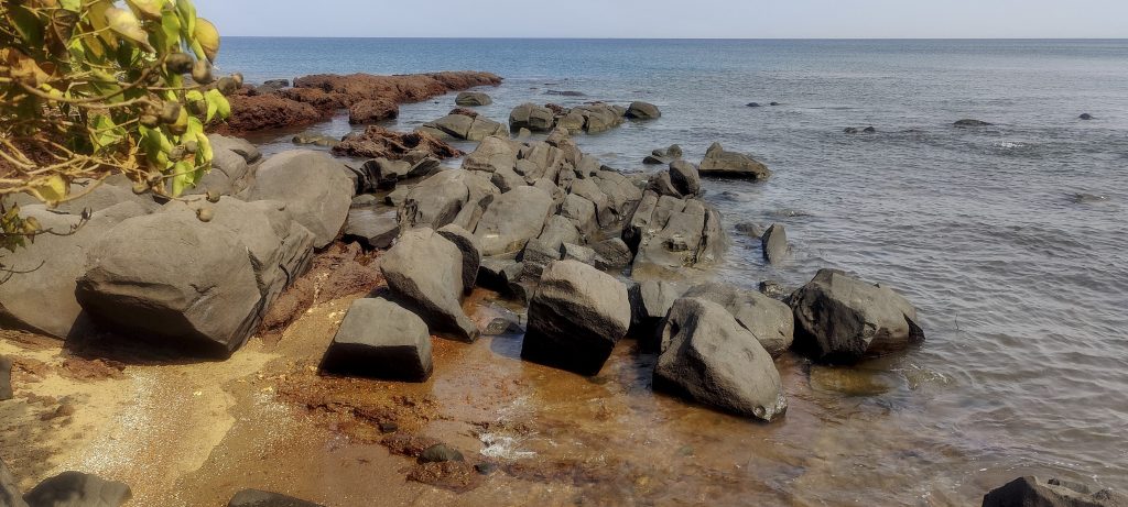
Beautiful sandy beaches (right)
Here on the shore are the typical boats built by masters

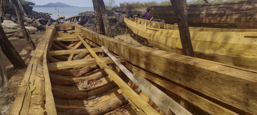
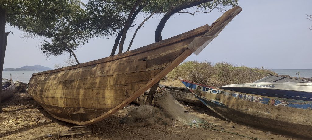
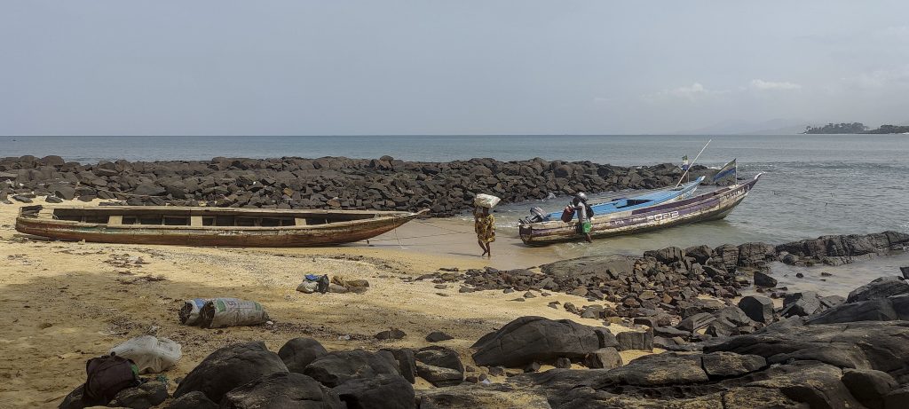
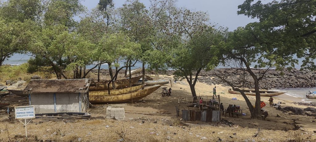
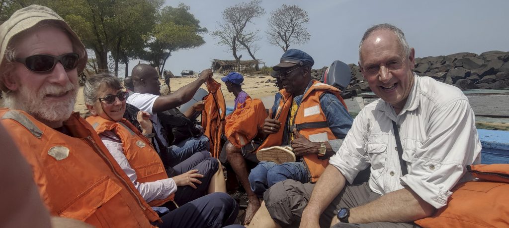
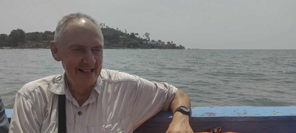
At Kent beach, we took time to look at how local boats are built and were asked by locals to pay for a picture of the ocean and the island. They said it was “a little money”, which turned out to be ten US dollars or more. I think it is not that little. Nevertheless, we left them with their ocean pictures and sailed to Dublin Island.

After half an hour of waiting, we are ready to go
Rob, Denise, retired meteorologist and Richard in the boat
It takes about 20 minutes to get from the mainland to the Banana Islands
Richard in the boat (left)
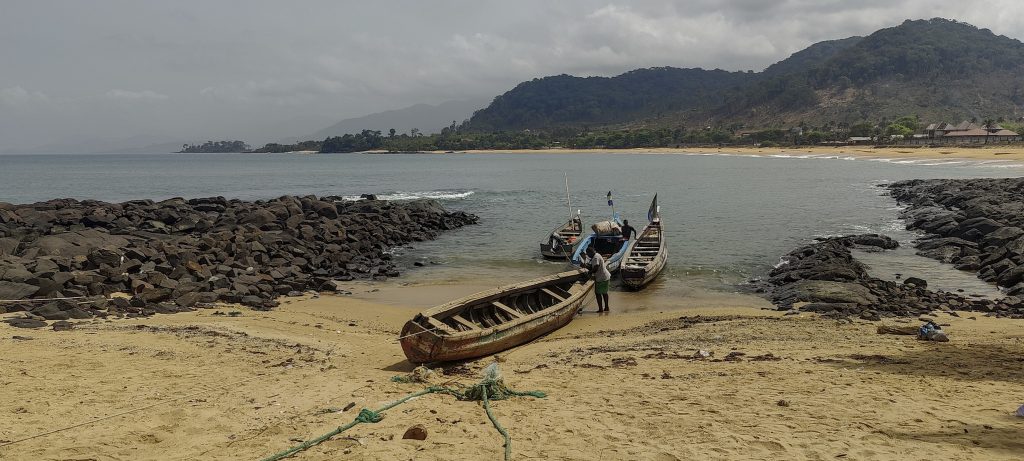
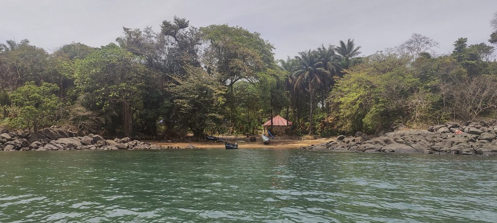
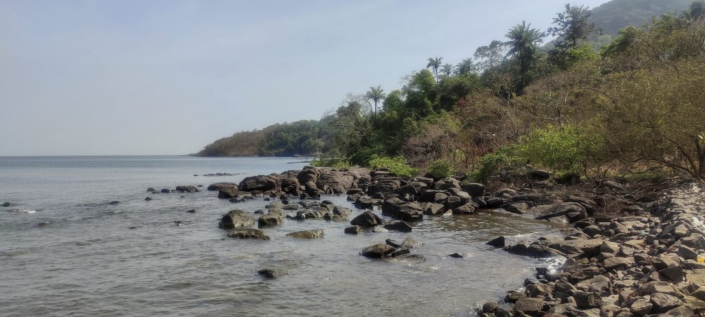
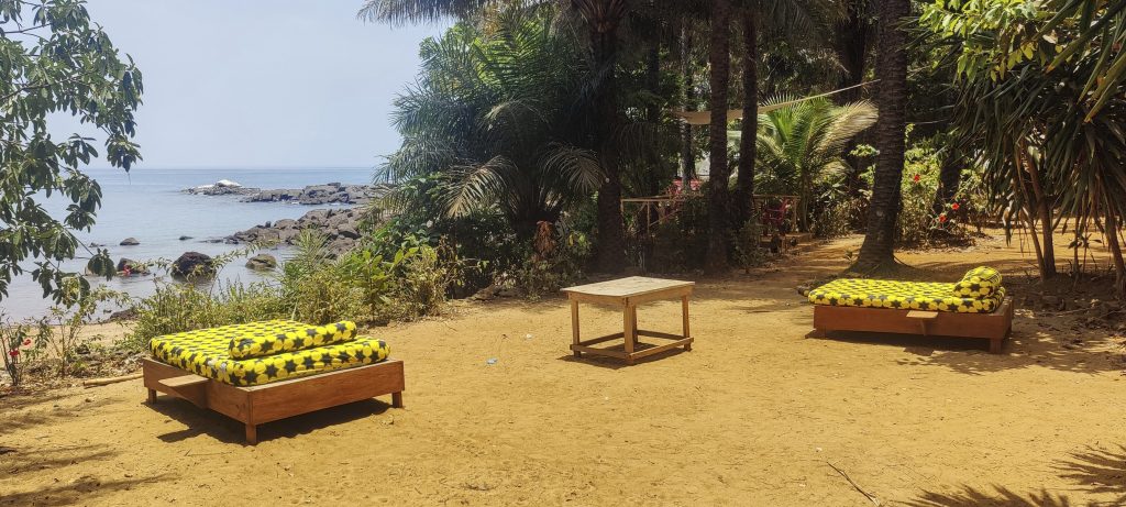
Our port of arrival on the island of Dublin (right)

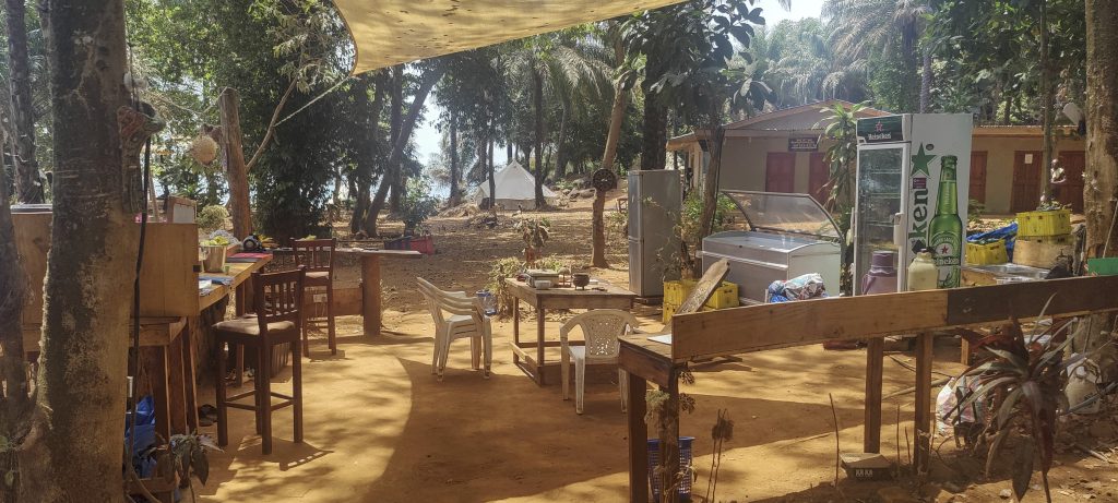
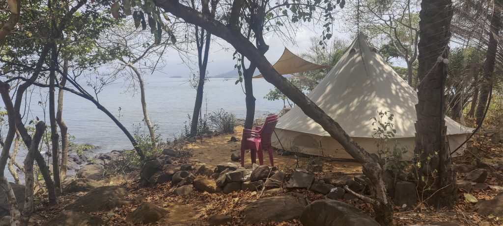
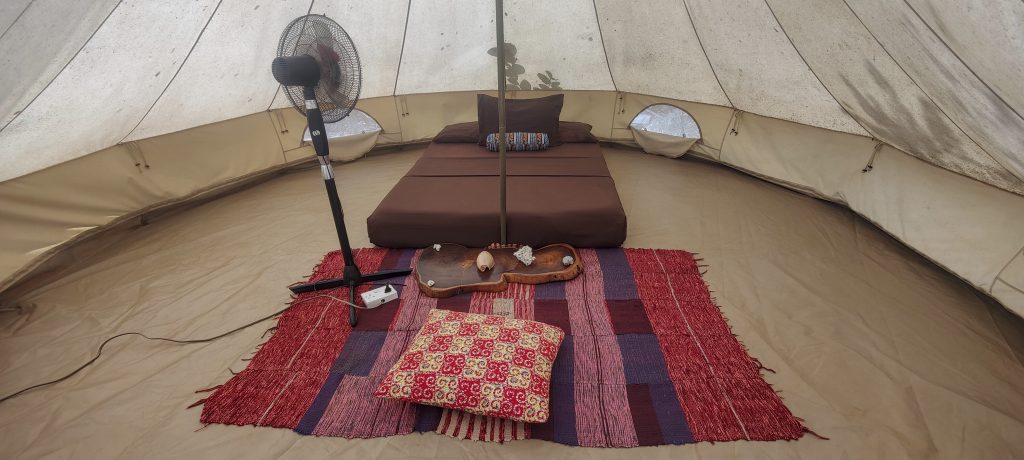
Once on the island, we were given a short warm welcome and escorted to our luxury tents on the seafront. Looks like a very nice place to spend a day or two. We quickly repacked, leaving most of our stuff in the tent, and set off for the top of the island.

The camp has a nice bar with a half empty fridge and a nice dinner menu
The tents on the seafront look very attractive
This is comfortable enough. The only problem is that it can get up to +40 degrees or more inside during the day.
Preparing to eat the remaining sardines with Richard, Denise and Rob
Hibiscus ??
Agama africana is a species of small lizard in the family Agamidae, found in West Africa. The same lizard is pictured in the featured article.
Camp beach with a few sunbeds

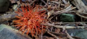
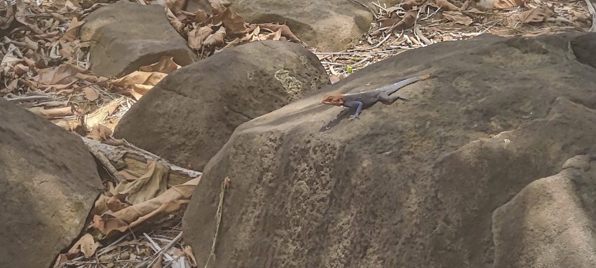
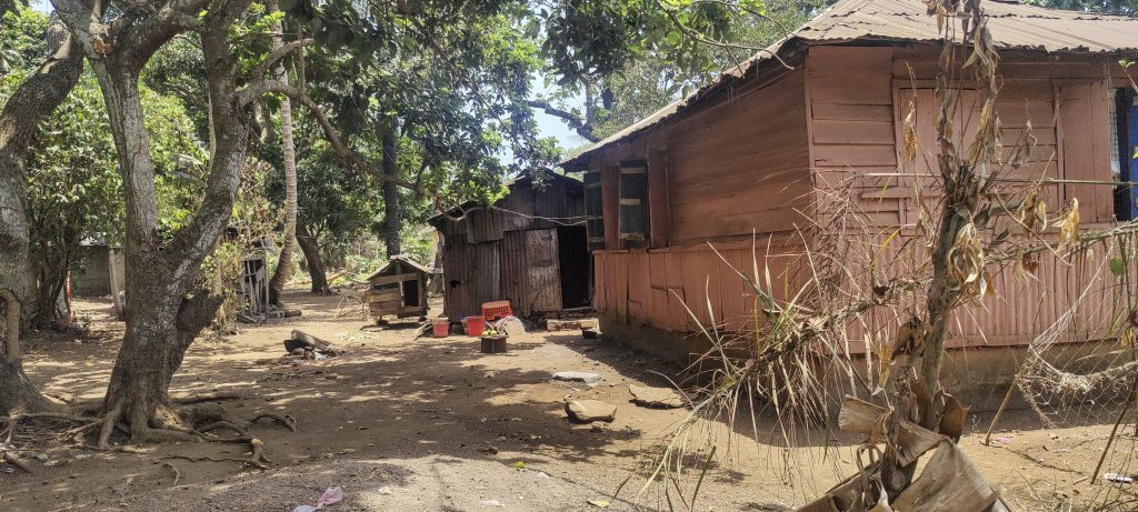
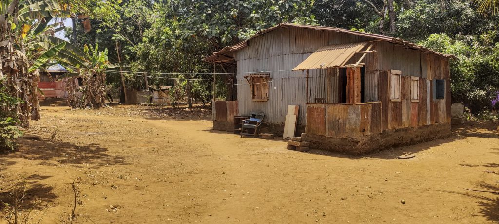
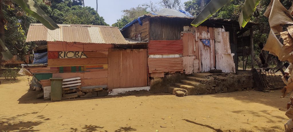
We set off from our camp and walked through a small settlement before heading out onto a few kilometres of flat track in the forest. Unfortunately we couldn’t find a path to the summit, so when we reached the highest and closest point to the summit we decided to go straight for it. The forest wasn’t too dense, so it was a fairly quick walk, despite the afternoon heat.

Huts on the island
After some bushwhacking we found the lower summit and then the true summit with a concrete square trig pillar

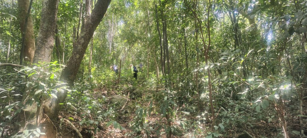
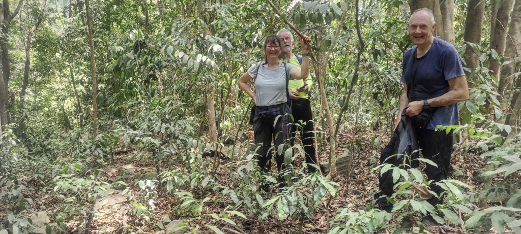
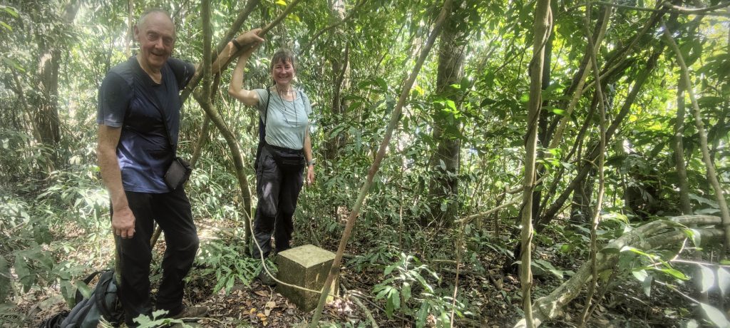
We had limited visibility at the top due to the vegetation. However, we were surprised to find a square concrete trig pillar. We took a short break and measured the altitude before descending back to the trail. We then continued up towards Ricketts Island Highpoint.

Back to sea level
Dublin and Ricketts Island are connected by a stone causeway

Dublin Island Highpoint167 m altitude
165 m prominence
RangesWest Africa Mountains - Guinea Highlands
Countries/regionsSierra Leone - Western Area
Distance5.00 km up2.10 km down
Elevation163 m gain163 m loss
Time
1h20 up
0h10 other
1h00 down
2h30 total
Trailhead2 m altitude8.1395270, -13.1905270
RouteWe start our trek at the campsite and walk about four or more kilometres on a wide path used by the locals. We then turn south-east and walk through the bush straight to the summit. The forest is not very dense, but there is no trail. Soon we reach a lower peak and a few hundred metres later we reach the highest point of the island with a trig pillar. On the way down, we will try to follow our ascent path, as it was not bad.
DifficultiesBuswhaking
LinksGPX trail
  • West Africa III 2023
  • « Sankan Biriwa
  • Ricketts Island Highpoint »

Mountain Ranges

Anatolia
Central Anatolia
Pontic Mountains
Southeast Anatolia
Taurus Mountains
Western Anatolia
Andes
Puna de Atacama
Atlas Mountains
High Atlas
Northwestern Atlas
Central America Ranges
Costa Rica-Panama Ranges
Central Central America
East China
Taiwan
Eastern Europe Ranges
Southeast Baltic Plains
Iberian Peninsula
Cordillera Cantabrica
Castile Ranges
Portugal-Galicia
Pyrenees
Intermountain West
Great Basin Ranges
Korea-Amur Area
Taebaek Sanmae
Malay Archipelago
Java
Nusa Tengarra
Sulawesi
Sumatra
Mid-Atlantic Islands
North Atlantic Islands
Mongolia Ranges
Altai
Gobi Desert Ranges
Hangay Mountains
Northwest Europe
Great Britain
North France-West Rhine Area
Pacific Ranges
Cascade Range
Northwest U.S. Coast Ranges
Sierra Nevada
Central and Southern California Ranges
Philippines
Central Philippines
Luzon
Mindanao
Southeast Asia
Malay Peninsula
Southeast South America
Pampas
Sierras de Cordoba
Southern Africa
Malawi Highlands
West Africa Mountains
Bight of Benin
Cameroon Mountains
Guinea Highlands

Countries / regions

Algeria
Ain Guezzam
Ain Salah
Aïn Témouchent
El Bayadh
Ghardaïa
Oran
Ouargla
Saïda
Sidi Bel Abbès
Tamanrasset
Argentina
Catamarca
Ciudad Autónoma de Buenos Aires
Córdoba
Jujuy
Salta
Tucumán
Belgium
Brussels Capital Region
Flemish Region
Cameroon
Southwest
China
Taiwan
Costa Rica
Alajuela
Cartago
Guanacaste
Heredia
Limón
San José
Czechia
Prague
Denmark
Greenland
France
Hauts-de-France
Occitania
Germany
Berlin
Niedersachsen
Indonesia
Bali
Jambi
Jawa Tengah
Jawa Timur
Nusa Tenggara Barat
Sulawesi Tengah
Sulawesi Utara
Sumatera Barat
Lithuania
Vilnius County
Mongolia
Bayankhongor
Govi-Altai
Khovd
Omnogovi
Ovorkhangai
Ulan Bator
Zavkhan
Morocco
Béni Mellal-Khénifra
Drâa-Tafilalet
Fez-Meknes
Marrakesh-Safi
Souss-Massa
Tangier-Tetouan-Al Hoceima
Mozambique
Zambezia
Netherlands
Gelderland
Noord-Holland
Zeeland
Nicaragua
Chinandega
Managua
Masaya
Rivas
Philippines
Bicol Region (V)
Cagayan Valley (II)
Calabarzon (IV-A)
Central Luzon (III)
Cordillera Administrative Region
Davao Region
Metro Manila
Soccsksargen (XII)
Western Visayas (VI)
Poland
Greater Poland Voivodeship
Masovian Voivodeship
Portugal
Castelo Branco
Leiria
Lisbon
Madeira
Santarém
Qatar
Ad-Dawhah
São Tomé and Príncipe
São Tomé Province
Sierra Leone
Northern Province
Western Area
Singapore
South Korea
Gyeongsangnam-do
Seoul
Spain
Aragón
Asturias
Castilla-La Mancha
Castilla y León
Catalonia
Islas Canarias
Switzerland
Zürich
Turkey
Antalya
Bitlis
Erzincan
Hakkâri
Igdir
Isparta
Kahraman Maras
Muğla
United Kingdom
England
Scotland
United States
California
Delaware
Florida
Maryland
Nevada
New Jersey
New York
Pennsylvania
South Carolina
Utah

TRIPS

2024
Southern Africa 2024
Mid-Atlantic Islands 2024
North America 2024
Anatolia 2024
Korea-Amur Area 2024
East China 2024
2023
Mongolia Ranges 2023
Philippines 2023
West Africa III 2023
West Africa II 2023
Iberian Peninsula 2023
West Africa 2023
Central America 2023
2022
Andes 2022
Northwest Europe 2022
Malay Archipelago III 2022
Malay Archipelago II 2022
Anatolia Mountains 2022
Iberian Peninsula 2022
Atlas Mountains 2022
North France-West Rhine Area 2022

archaeology (3) climb (157) food (2) hike (155) p30 (17) p50 (4) p100 (24) p300 (12) p600 (17) p1000 (11) p1500 (76) ribu (10) sight (46) summary (16) trig (44) ultra (76)

1 591 km walked, 121 298 m climbed

©2025 p600.org | WordPress Theme by Superbthemes.com