Skip to content
Menu
p600.org
  • home
  • map
  • trips
  • about
p600.org

Uyluk Tepe

hike | 2022-09-24

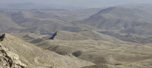
I leave the hotel before dawn. It takes almost 4 hours to reach the trailhead. From Gömbe the road is unpaved. However, to my surprise I find brown signposts to points of interest. However, after a few kilometres, the arrows and my direction will stand out.

The first plateau

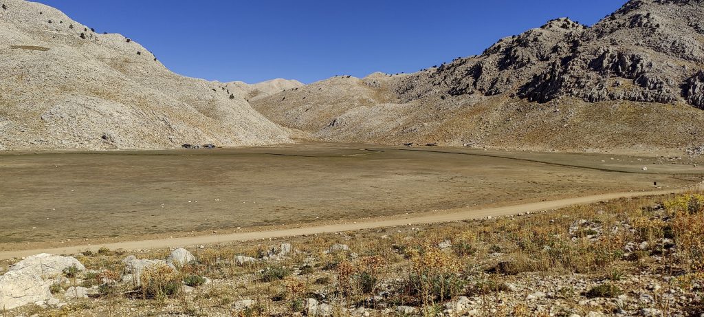
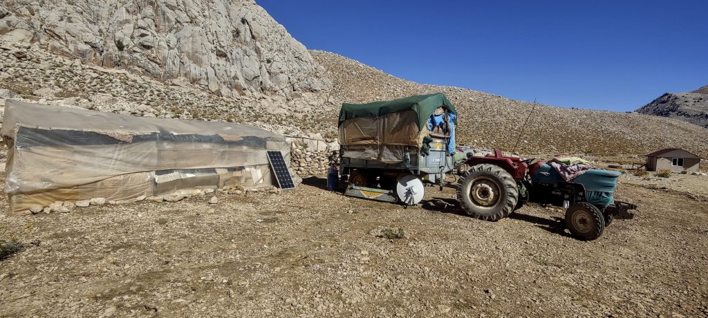
I park the car on the first big plateau, change my shoes and start walking, soon i realize that road similar quality as before, get back in the car and drive on. About one and a half kilometres later I come to a second plateau with a few buildings. I leave the car next to them.

Locals prepare for winter and pack for moving down
No trail in sight, doesn’t seem to be much needed

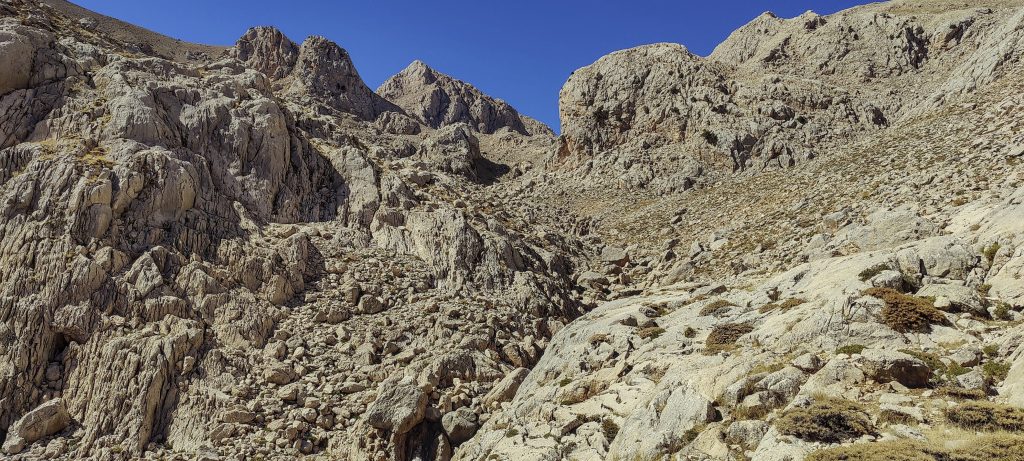
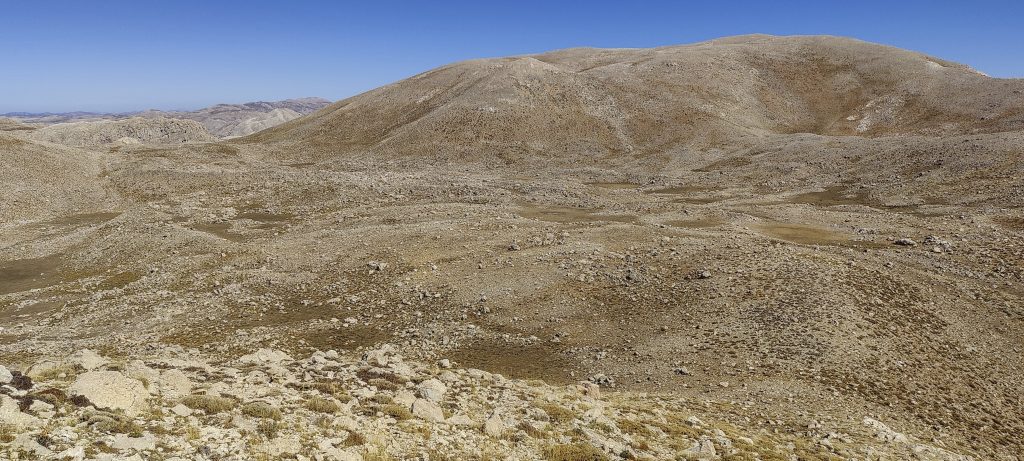
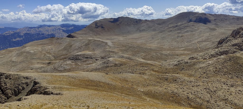
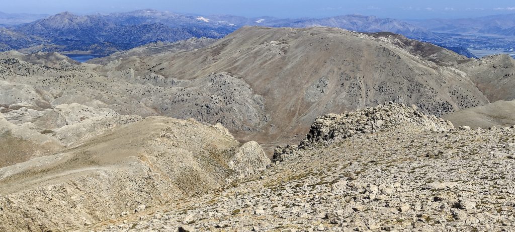
Looking around, I see a ridge that I would have had to climb over if I had chosen a different parking space, a little higher up. Rob’s advice to start climbing from the meadow is very good.

A look back to the meadow where I left my car
Slightly steeper in several places
Nice landscape
Great landscape
An interesting trail
In this meadow I leave the path and climb straight up the slope

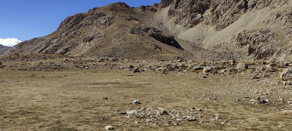
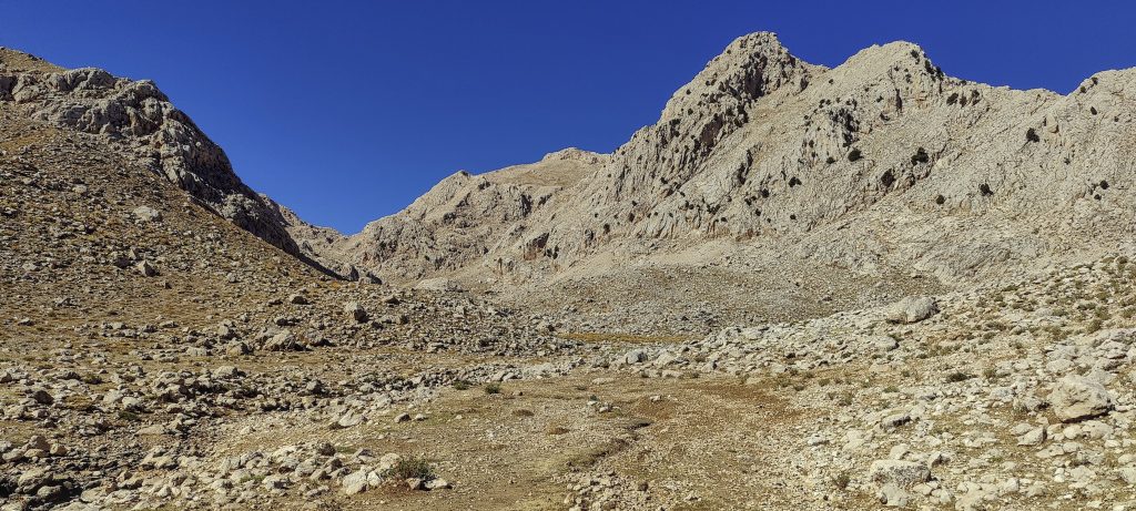
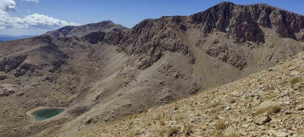
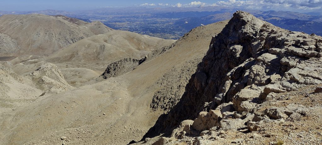
At 2500 metres, the trail goes to the left. Trail should also lead to the summit, but Mclellan gpx track looks faster and i take it.

Looking back
View from the hillside
Perhaps Kizlar Sivrisi?
I’m almost to the ridge
In the east, I see unpaved roads. Maybe one can drive on
One more lake
A false summit
The ridge is quite flat
Close to the top
The highest point is marked by a flag

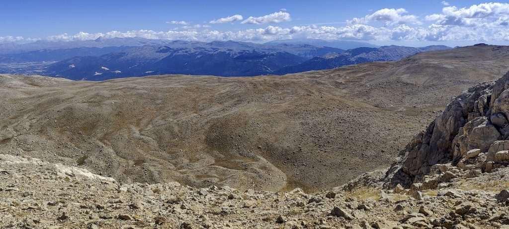
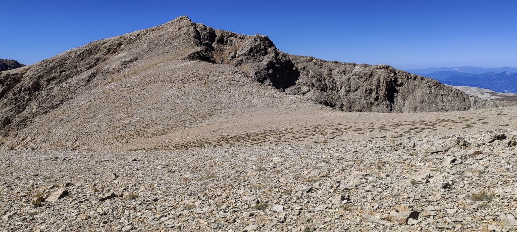
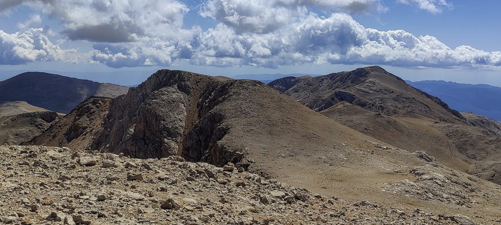
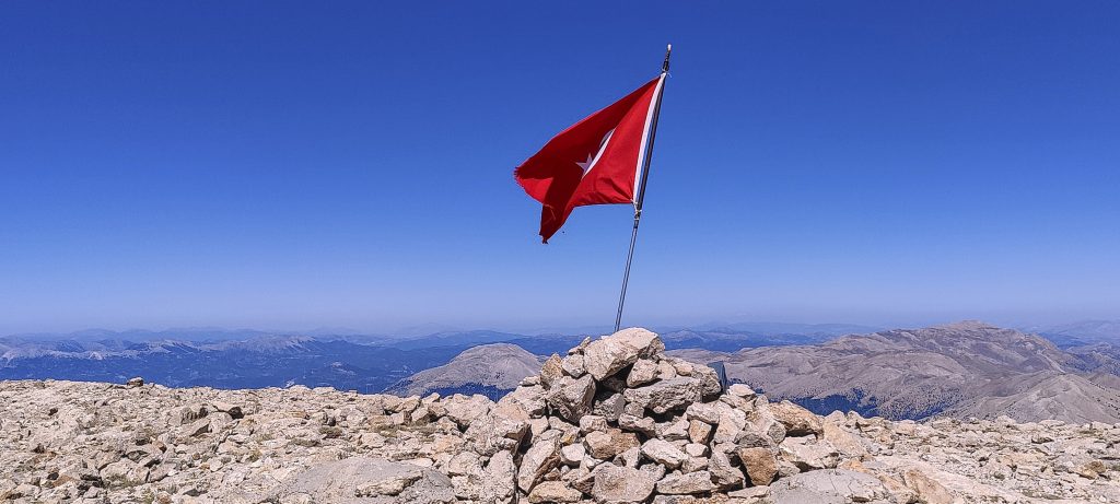
After climbing up the slope to the ridge, the trail is quite flat and easy. To be more precise, there is no trail, but you don’t really need one. I approach the false summit, go around to the left and quickly reach the true summit. A flag flies at the highest point.

View to the north-west
View southwards
Great weather, beautiful views
Farmland and settlements in the distance

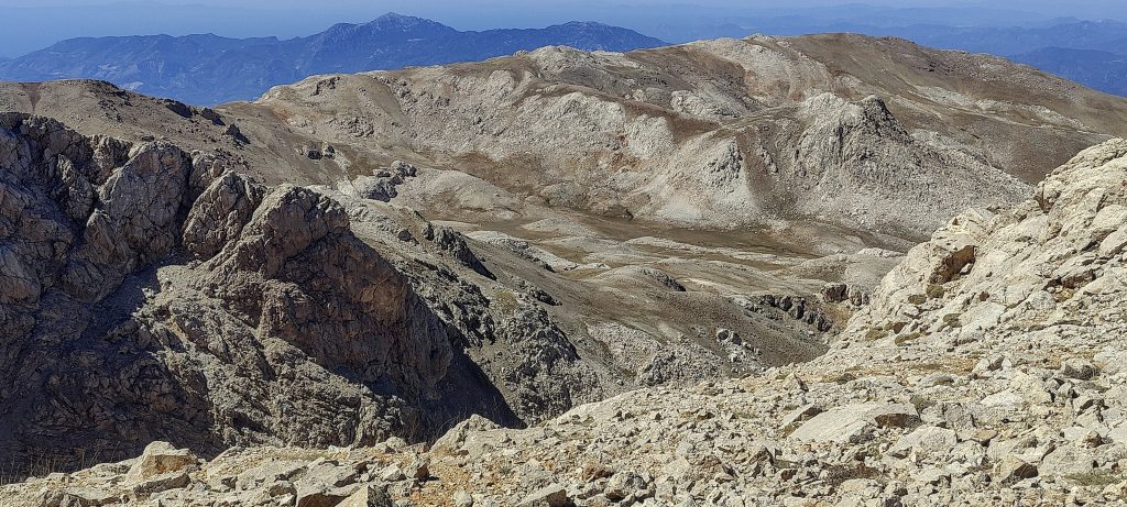
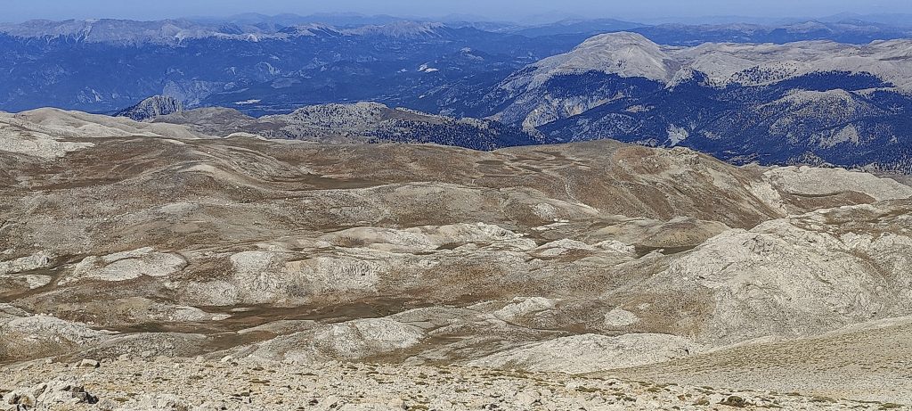
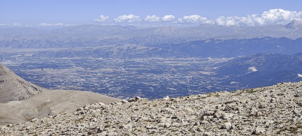
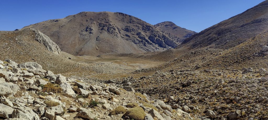
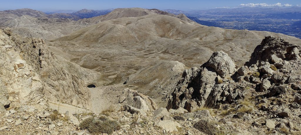
After looking around and eating an apple, I climb down. The same path as I came. It’s easy to go down, and I’m moving more optimally than forward

View from a saddle near the summit

At the car, local shepherds were very inviting to have a cup of tea. I had to say thanks and refuse – as I had some plans. At the end they ask me to take their centenarian grandmother to the nearest village – Gömbe. So I do, and I hope it counts as a good deed..

End of summer, dry

Another Turkish Ultra peak climbed, gand the day is only half over, so I’m trying my luck with one more Ultra peak – Babadag. It’s just over 35 kilometres away, but it’s almost a 3-hour drive…


Uyluk Tepe3016 m altitude
1664 m prominence
48.76 km isolation
RangesAsia - Anatolia - Western Anatolia
Countries/regionsTurkey - Antalya</br>Turkey - Muğla
Distance6.40 km up6.40 km down
Elevation880 m gain880 m loss
Time
2h30 up
0h10 other
2h00 down
4h40 total
Trailhead2135 m altitude36.5719160, 29.5962220
Difficulties<p>none</p>
LinksGPX trail
  • Anatolia Mountains 2022
  • « Ancient city of Side
  • Babadag »

Mountain Ranges

Anatolia
Central Anatolia
Pontic Mountains
Southeast Anatolia
Taurus Mountains
Western Anatolia
Andes
Puna de Atacama
Atlas Mountains
High Atlas
Northwestern Atlas
Central America Ranges
Costa Rica-Panama Ranges
Central Central America
East China
Taiwan
Eastern Europe Ranges
Southeast Baltic Plains
Iberian Peninsula
Cordillera Cantabrica
Castile Ranges
Portugal-Galicia
Pyrenees
Intermountain West
Great Basin Ranges
Korea-Amur Area
Taebaek Sanmae
Malay Archipelago
Java
Nusa Tengarra
Sulawesi
Sumatra
Mid-Atlantic Islands
North Atlantic Islands
Mongolia Ranges
Altai
Gobi Desert Ranges
Hangay Mountains
Northwest Europe
Great Britain
North France-West Rhine Area
Pacific Ranges
Cascade Range
Northwest U.S. Coast Ranges
Sierra Nevada
Central and Southern California Ranges
Philippines
Central Philippines
Luzon
Mindanao
Southeast Asia
Malay Peninsula
Southeast South America
Pampas
Sierras de Cordoba
Southern Africa
Malawi Highlands
West Africa Mountains
Bight of Benin
Cameroon Mountains
Guinea Highlands

Countries / regions

Algeria
Ain Guezzam
Ain Salah
Aïn Témouchent
El Bayadh
Ghardaïa
Oran
Ouargla
Saïda
Sidi Bel Abbès
Tamanrasset
Argentina
Catamarca
Ciudad Autónoma de Buenos Aires
Córdoba
Jujuy
Salta
Tucumán
Belgium
Brussels Capital Region
Flemish Region
Cameroon
Southwest
China
Taiwan
Costa Rica
Alajuela
Cartago
Guanacaste
Heredia
Limón
San José
Czechia
Prague
Denmark
Greenland
France
Hauts-de-France
Occitania
Germany
Berlin
Niedersachsen
Indonesia
Bali
Jambi
Jawa Tengah
Jawa Timur
Nusa Tenggara Barat
Sulawesi Tengah
Sulawesi Utara
Sumatera Barat
Lithuania
Vilnius County
Mongolia
Bayankhongor
Govi-Altai
Khovd
Omnogovi
Ovorkhangai
Ulan Bator
Zavkhan
Morocco
Béni Mellal-Khénifra
Drâa-Tafilalet
Fez-Meknes
Marrakesh-Safi
Souss-Massa
Tangier-Tetouan-Al Hoceima
Mozambique
Zambezia
Netherlands
Gelderland
Noord-Holland
Zeeland
Nicaragua
Chinandega
Managua
Masaya
Rivas
Philippines
Bicol Region (V)
Cagayan Valley (II)
Calabarzon (IV-A)
Central Luzon (III)
Cordillera Administrative Region
Davao Region
Metro Manila
Soccsksargen (XII)
Western Visayas (VI)
Poland
Greater Poland Voivodeship
Masovian Voivodeship
Portugal
Castelo Branco
Leiria
Lisbon
Madeira
Santarém
Qatar
Ad-Dawhah
São Tomé and Príncipe
São Tomé Province
Sierra Leone
Northern Province
Western Area
Singapore
South Korea
Gyeongsangnam-do
Seoul
Spain
Aragón
Asturias
Castilla-La Mancha
Castilla y León
Catalonia
Islas Canarias
Switzerland
Zürich
Turkey
Antalya
Bitlis
Erzincan
Hakkâri
Igdir
Isparta
Kahraman Maras
Muğla
United Kingdom
England
Scotland
United States
California
Delaware
Florida
Maryland
Nevada
New Jersey
New York
Pennsylvania
South Carolina
Utah

TRIPS

2024
Southern Africa 2024
Mid-Atlantic Islands 2024
North America 2024
Anatolia 2024
Korea-Amur Area 2024
East China 2024
2023
Mongolia Ranges 2023
Philippines 2023
West Africa III 2023
West Africa II 2023
Iberian Peninsula 2023
West Africa 2023
Central America 2023
2022
Andes 2022
Northwest Europe 2022
Malay Archipelago III 2022
Malay Archipelago II 2022
Anatolia Mountains 2022
Iberian Peninsula 2022
Atlas Mountains 2022
North France-West Rhine Area 2022

archaeology (3) climb (157) food (2) hike (155) p30 (17) p50 (4) p100 (24) p300 (12) p600 (17) p1000 (11) p1500 (76) ribu (10) sight (46) summary (16) trig (44) ultra (76)

1 591 km walked, 121 298 m climbed

©2025 p600.org | WordPress Theme by Superbthemes.com