Skip to content
Menu
p600.org
  • home
  • map
  • trips
  • about
p600.org

Gunung Rinjani

hike | 2022-10-12

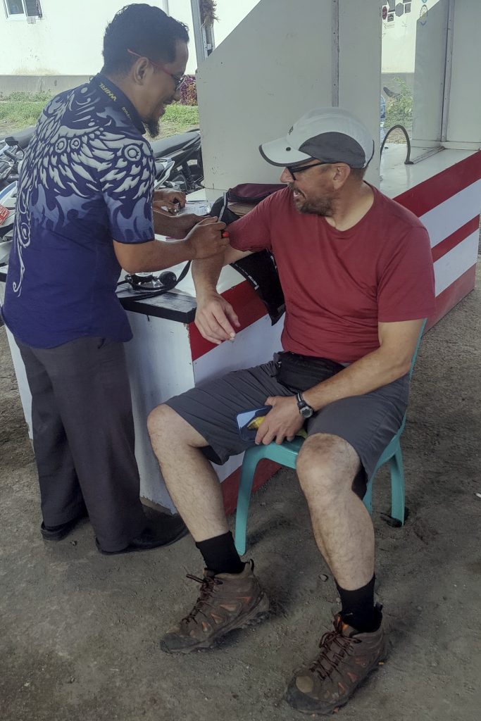
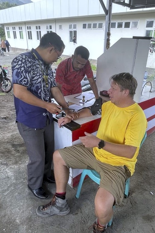
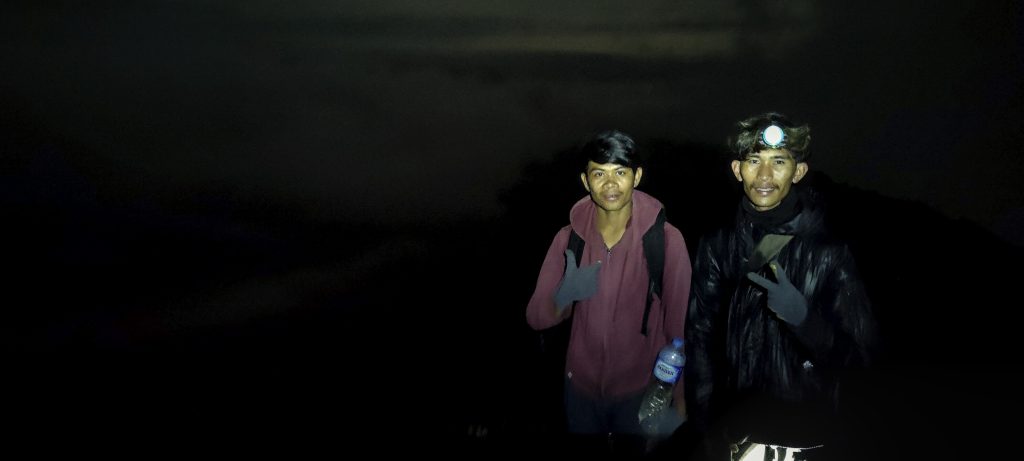
The man is like a doctor, fingering the pulse and declaring that our blood pressure is perfect. He prepares a certificate, signs, and stamps it. Great, we are ready to climb Mount Rinjan!i.

(photo by Dave)
Mandatory blood pressure test. We had good pressure
Nice 3D model at the registration

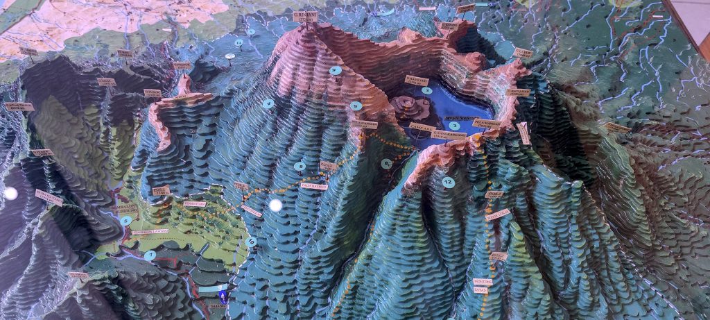
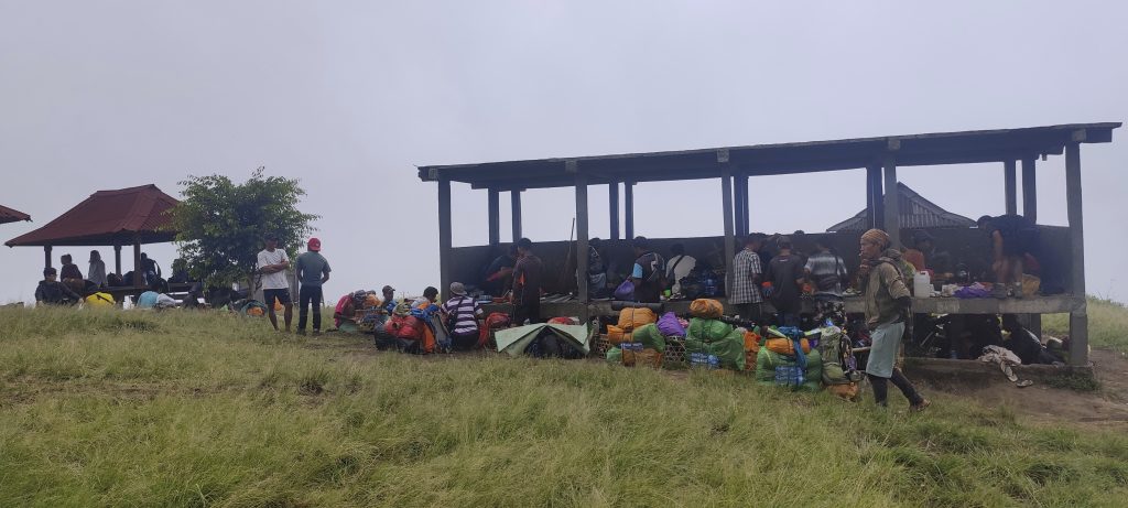
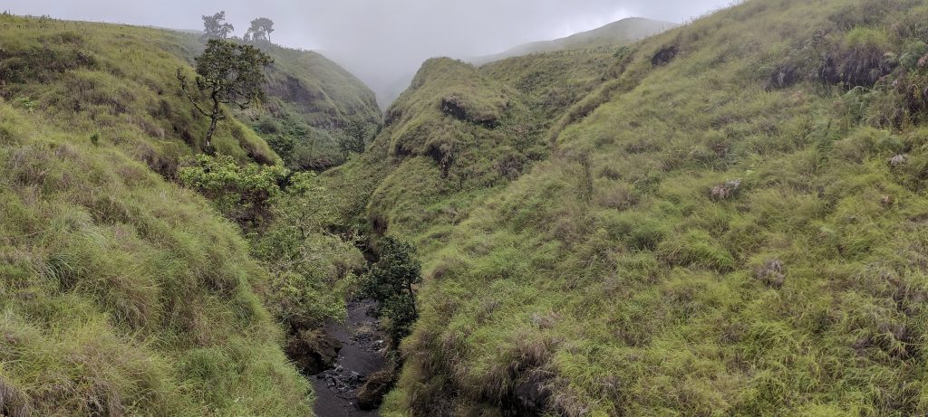
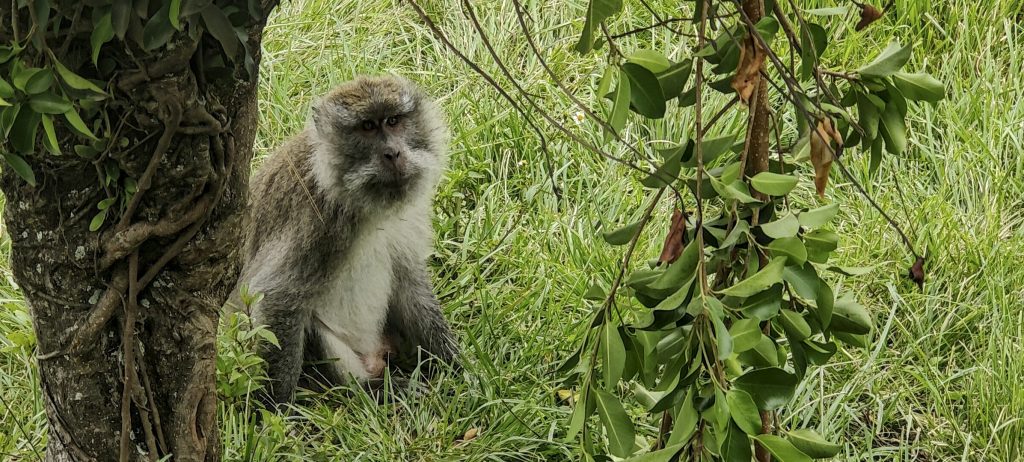
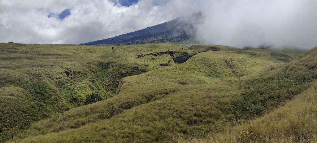
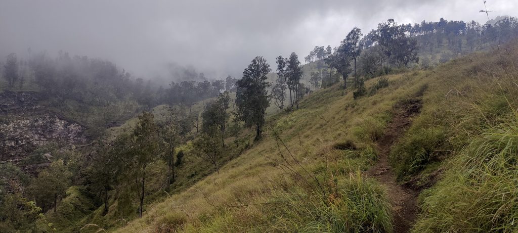
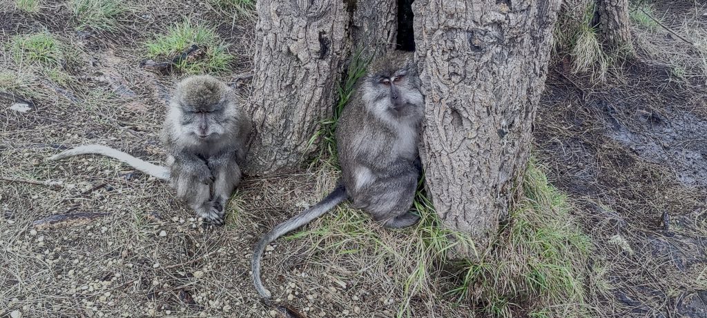
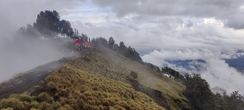
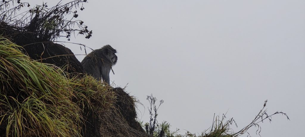
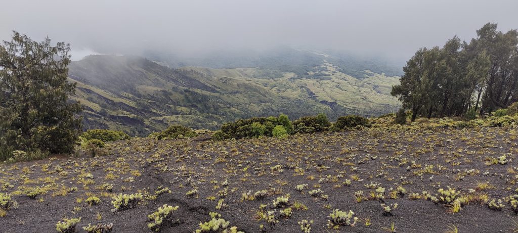
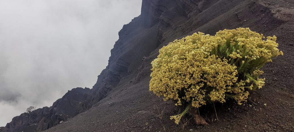
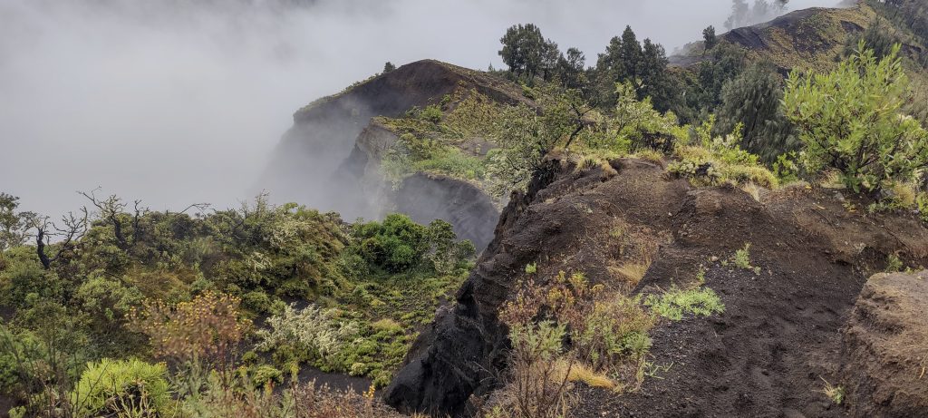
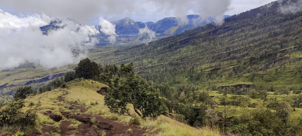
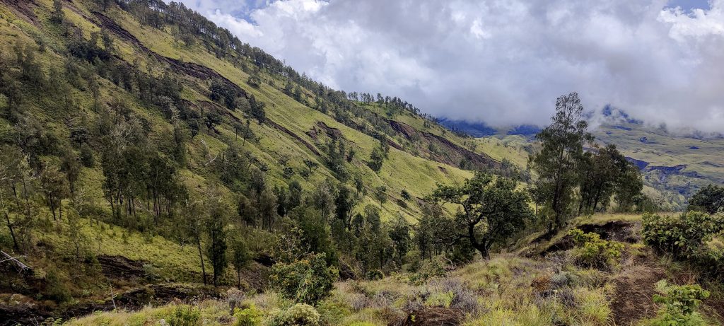
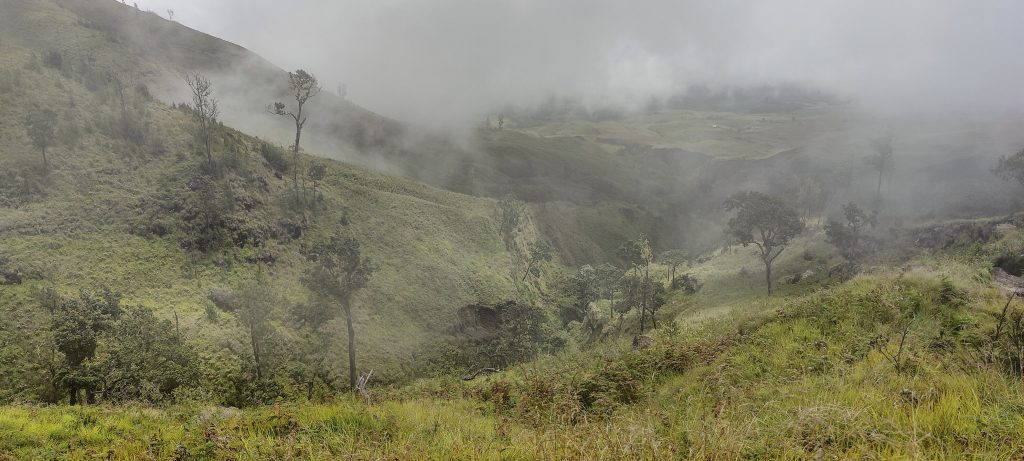
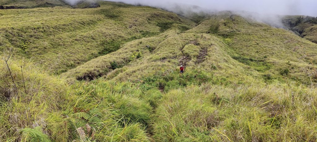
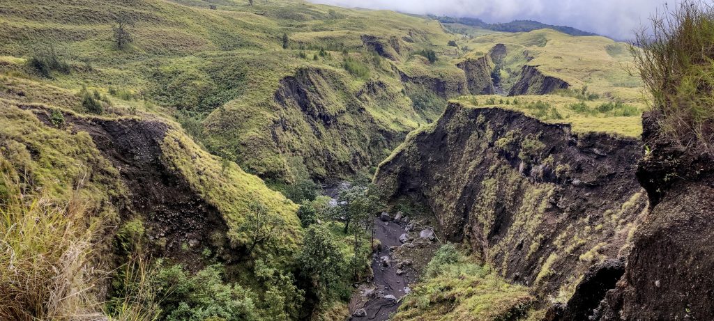
I am surprised that the trail goes through open grassland instead of jungle, which was unexpected.. Within half an hour, we reach the first camp. A local guide suggests we stop to eat. We refuse and keep climbing. Soon we are coming to the second camp, and our guide insists that we stop and eat.. I share an apple with a monkey; I get the soft part, and she gets the middle. Both are satisfied, so I move on. At the third camp, the guide insists on standing and eating. We suggest he take his time, eat, and catch up with us later, and unsurprisingly, the suggestion works. We move on without the guide and without the porter until the last camp, where we should spend the night.

Trailhead
One of the POS, full of hikers and guides
Surprisingly open hike, no jungle
Local porter
Constant surveillance
lemon grass slopes

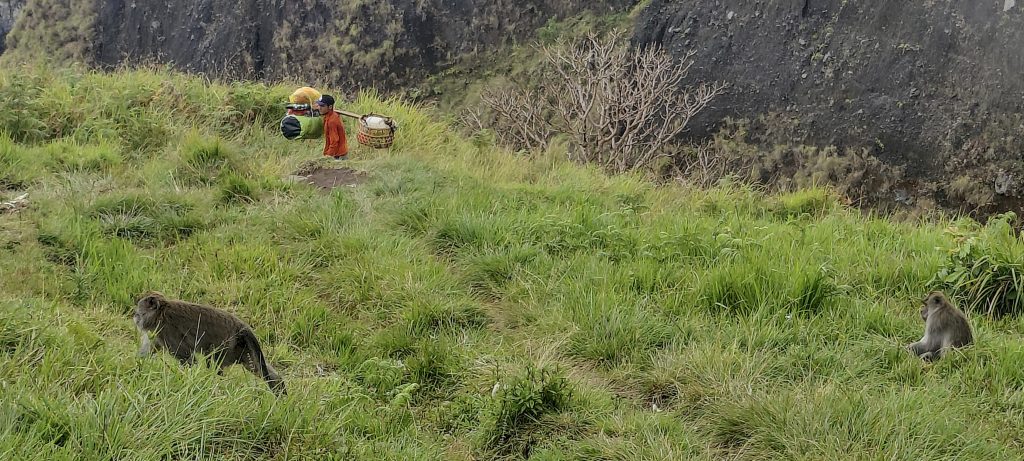
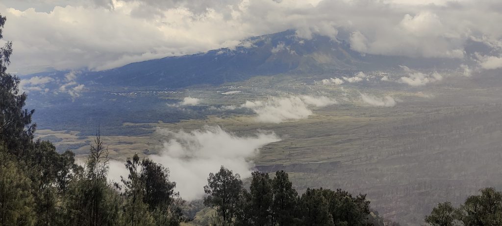
A few hundred vertical meters away, it starts to rain heavily. Together with the monkeys, we take shelter from the rain under the larger trees. The guide with Dave’s tent comes after 2 hours, the porter with my tent after 4 hours. The guides of the other groups assess the intensity of the rain and invite us to their tent, treat us to coffee, and offer us a meal. Thank you!

Start raining
Hiding from rain together with a couple

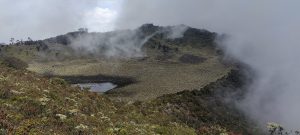
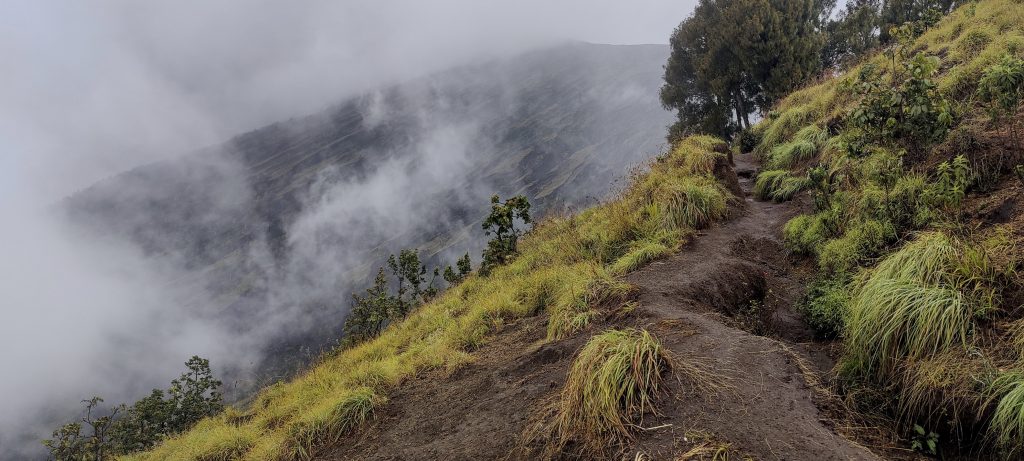
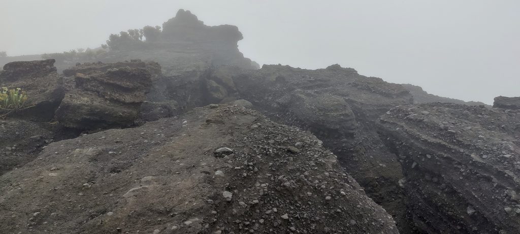
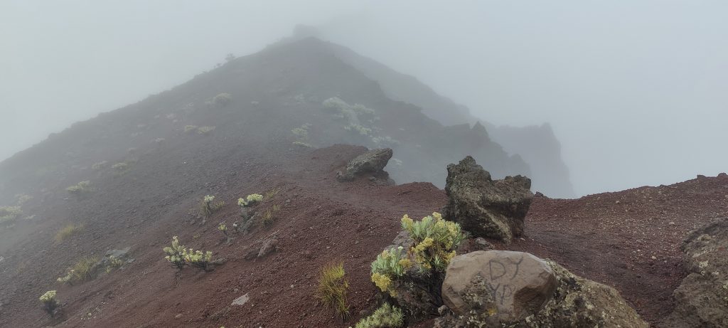
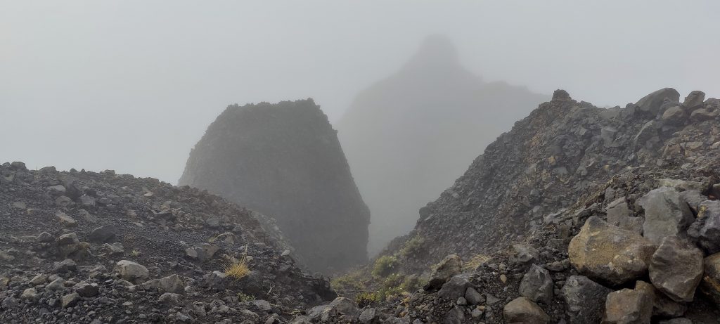
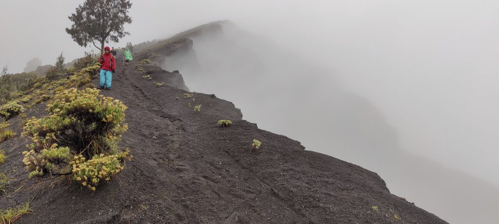
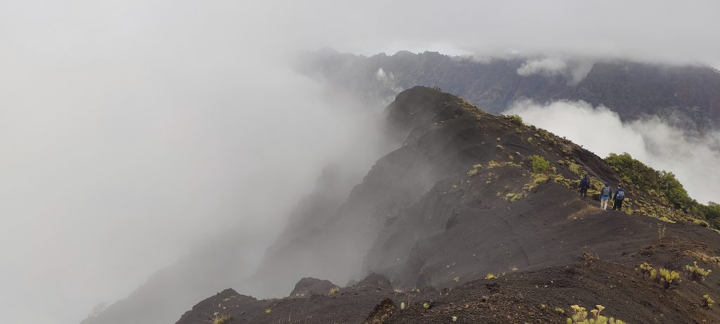
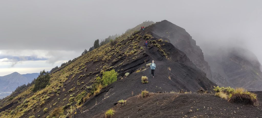
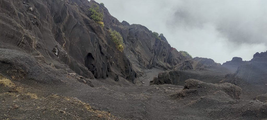
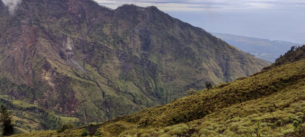
A few hours before dawn, we get up and climb towards the summit. Not an easy task; all the slopes are covered with small volcanic pebbles. Three steps up, one step back. We move slowly. We reach the ridge, the weather is nasty, and the visibility is close to zero. From time to time, many tourists climb past each other. I guess that some of them are hiking for the first time.

Looking back
High camp
The camp is well guarded.
Short view to the summit
An excellent dessert after dinner
Guide and porter

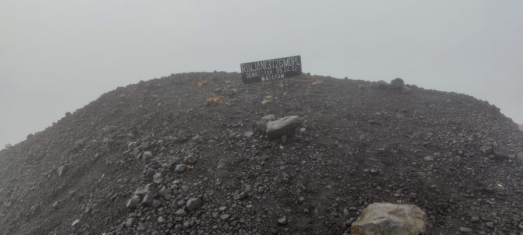
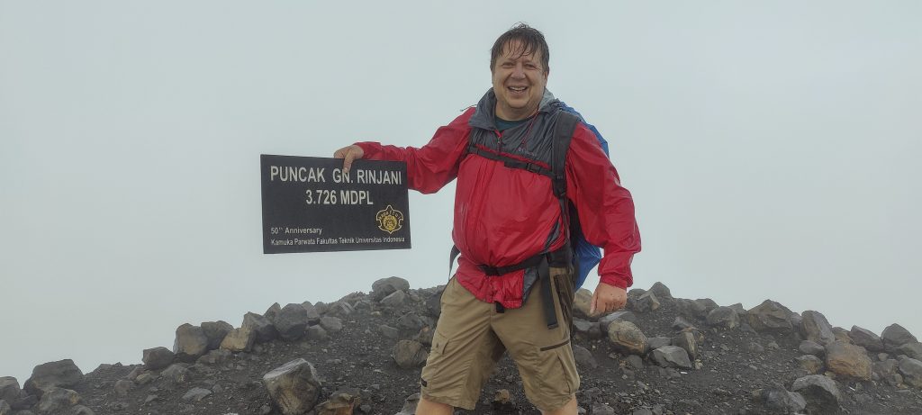
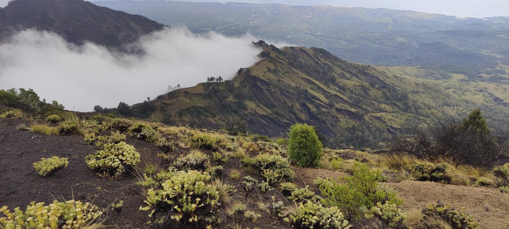
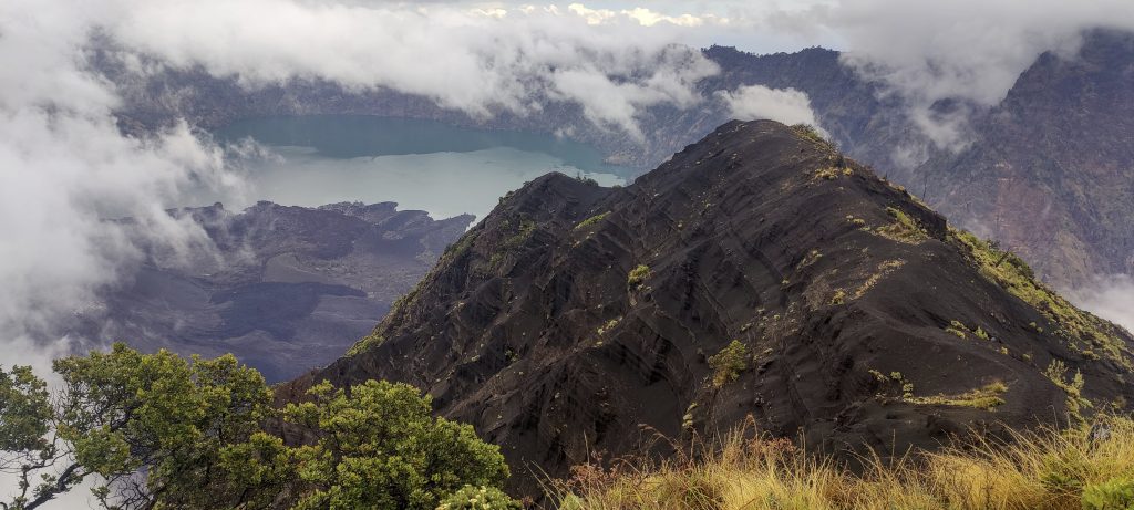
The top is in the clouds; it is raining. A few photos later, we are descending. This descent is probably the fastest in my history. Running in metric steps and sliding down small stones, I reach the camp in 1h10. Not bad, considering that it took more than 4 hours to climb up.

Approaching summit
Summit marker
No so. much visible
Another view from the summit
Done, next one..

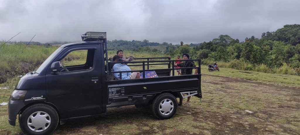
The guide offers mia gorang (fried noodles), and this time, we don’t refuse. We have a delicious meal, pack our bags, and head back down. The guide and the porter are very happy with the suggestion to go at our own pace, and that was the last time we saw them. Within a few hours, we reach the car, drink fresh durian juice, and drive towards the waterfront hotel.

Crater’s outer slopes
Rim
Easy run down on the ashes
High camp on the ridge
Surrounding peaks
Rim
Few bushes grow on the rim.
Steep inner rim slopes

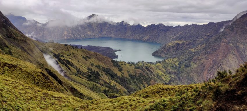
Cool peak, great trail, but in high season, there are a few hundred climbing permits issued every day. Wildlife lovers may be a little disappointed. More experienced hikers can climb and descend in one day. You can take a tent as a precautionary measure in case the weather is bad or you run out of energy.

Crater lake
Nice landscape
A bit of vegetation lower
Green, steep slopes, nice
On the way down
On the way down
It’s cloudy again, but at least there’s no rain.
Dave in the lemon grass field
Nice addition to the tree.
A bit of a prehistoric feel
Impressive ravines going down

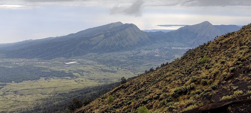
We have saved one day, so in the morning we will be interested in the life and culture of the Lombok people. The day after tomorrow we will fly to Surabaya, on the island of Java, where the Gunung Lawu and Gunung Slamet mountains await us.


Gunung Rinjani3726 m altitude
3726 m prominence
1600.66 km isolation
RangesAsia - Malay Archipelago - Nusa Tengarra
Countries/regionsIndonesia - Nusa Tenggara Barat
Distance15.80 km up16.20 km down
Elevation2684 m gain2757 m loss
Time
9h00 up
13h00 other
4h15 down
26h15 total
Trailhead1040 m altitude-8.3472220, 116.4956110
Difficulties<p style="color: #252525;">steep scree, but on the other hand, it was so pleasant to go down</p>
LinksGPX trail
  • Malay Archipelago II 2022
  • « Bali
  • Bukit Bongo »

Mountain Ranges

Anatolia
Central Anatolia
Pontic Mountains
Southeast Anatolia
Taurus Mountains
Western Anatolia
Andes
Puna de Atacama
Atlas Mountains
High Atlas
Northwestern Atlas
Central America Ranges
Costa Rica-Panama Ranges
Central Central America
East China
Taiwan
Eastern Europe Ranges
Southeast Baltic Plains
Iberian Peninsula
Cordillera Cantabrica
Castile Ranges
Portugal-Galicia
Pyrenees
Intermountain West
Great Basin Ranges
Korea-Amur Area
Taebaek Sanmae
Malay Archipelago
Java
Nusa Tengarra
Sulawesi
Sumatra
Mid-Atlantic Islands
North Atlantic Islands
Mongolia Ranges
Altai
Gobi Desert Ranges
Hangay Mountains
Northwest Europe
Great Britain
North France-West Rhine Area
Pacific Ranges
Cascade Range
Northwest U.S. Coast Ranges
Sierra Nevada
Central and Southern California Ranges
Philippines
Central Philippines
Luzon
Mindanao
Southeast Asia
Malay Peninsula
Southeast South America
Pampas
Sierras de Cordoba
Southern Africa
Malawi Highlands
West Africa Mountains
Bight of Benin
Cameroon Mountains
Guinea Highlands

Countries / regions

Algeria
Ain Guezzam
Ain Salah
Aïn Témouchent
El Bayadh
Ghardaïa
Oran
Ouargla
Saïda
Sidi Bel Abbès
Tamanrasset
Argentina
Catamarca
Ciudad Autónoma de Buenos Aires
Córdoba
Jujuy
Salta
Tucumán
Belgium
Brussels Capital Region
Flemish Region
Cameroon
Southwest
China
Taiwan
Costa Rica
Alajuela
Cartago
Guanacaste
Heredia
Limón
San José
Czechia
Prague
Denmark
Greenland
France
Hauts-de-France
Occitania
Germany
Berlin
Niedersachsen
Indonesia
Bali
Jambi
Jawa Tengah
Jawa Timur
Nusa Tenggara Barat
Sulawesi Tengah
Sulawesi Utara
Sumatera Barat
Lithuania
Vilnius County
Mongolia
Bayankhongor
Govi-Altai
Khovd
Omnogovi
Ovorkhangai
Ulan Bator
Zavkhan
Morocco
Béni Mellal-Khénifra
Drâa-Tafilalet
Fez-Meknes
Marrakesh-Safi
Souss-Massa
Tangier-Tetouan-Al Hoceima
Mozambique
Zambezia
Netherlands
Gelderland
Noord-Holland
Zeeland
Nicaragua
Chinandega
Managua
Masaya
Rivas
Philippines
Bicol Region (V)
Cagayan Valley (II)
Calabarzon (IV-A)
Central Luzon (III)
Cordillera Administrative Region
Davao Region
Metro Manila
Soccsksargen (XII)
Western Visayas (VI)
Poland
Greater Poland Voivodeship
Masovian Voivodeship
Portugal
Castelo Branco
Leiria
Lisbon
Madeira
Santarém
Qatar
Ad-Dawhah
São Tomé and Príncipe
São Tomé Province
Sierra Leone
Northern Province
Western Area
Singapore
South Korea
Gyeongsangnam-do
Seoul
Spain
Aragón
Asturias
Castilla-La Mancha
Castilla y León
Catalonia
Islas Canarias
Switzerland
Zürich
Turkey
Antalya
Bitlis
Erzincan
Hakkâri
Igdir
Isparta
Kahraman Maras
Muğla
United Kingdom
England
Scotland
United States
California
Delaware
Florida
Maryland
Nevada
New Jersey
New York
Pennsylvania
South Carolina
Utah

TRIPS

2024
Southern Africa 2024
Mid-Atlantic Islands 2024
North America 2024
Anatolia 2024
Korea-Amur Area 2024
East China 2024
2023
Mongolia Ranges 2023
Philippines 2023
West Africa III 2023
West Africa II 2023
Iberian Peninsula 2023
West Africa 2023
Central America 2023
2022
Andes 2022
Northwest Europe 2022
Malay Archipelago III 2022
Malay Archipelago II 2022
Anatolia Mountains 2022
Iberian Peninsula 2022
Atlas Mountains 2022
North France-West Rhine Area 2022

archaeology (3) climb (157) food (2) hike (155) p30 (17) p50 (4) p100 (24) p300 (12) p600 (17) p1000 (11) p1500 (76) ribu (10) sight (46) summary (16) trig (44) ultra (76)

1 591 km walked, 121 298 m climbed

©2025 p600.org | WordPress Theme by Superbthemes.com