Skip to content
Menu
p600.org
  • home
  • map
  • trips
  • about
p600.org

Mount Madjaas

hike | 2023-04-29

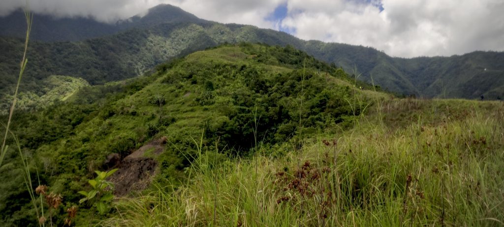
Mount Madjaas is the highest point on the island, with a prominence of over two thousand meters, and is quite isolated. These factors make this Ultra peak very visible on our radar. An added bonus is that no peak baggers have reported reaching the summit. Initially, we are unsure whether we can reach Panay Island and how/where/when to proceed with the climb. We have seen two promising routes to the summit on the open street map, but that is the extent of our knowledge. Fortunately, Win Calleja, our guide, helps us figure out how to climb the mountain, complete the necessary paperwork, and arrange all the logistics. We are very grateful to him for his help. In the end, we discover that the trail is quite popular with local hikers, as there are twenty or thirty other people camping there that night.

Coast of Culasi village with Batbatan Island in the background
Rice wrapped in banana leaf
Street food
Streets of Culasi
Typical Internet Point – insert coin and connect to WiFi

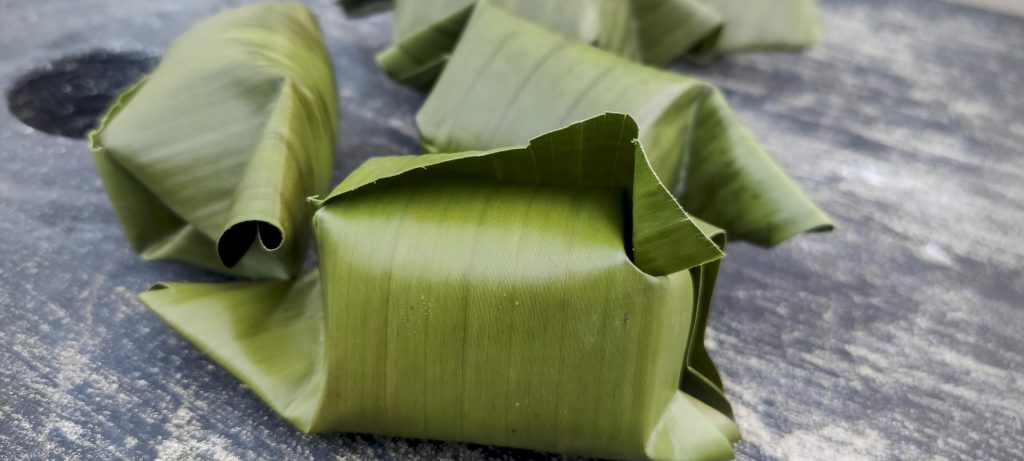
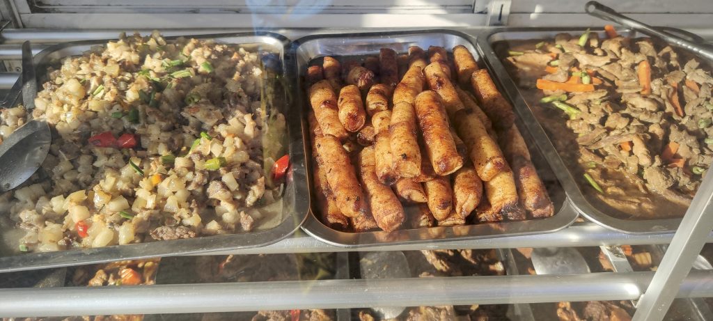
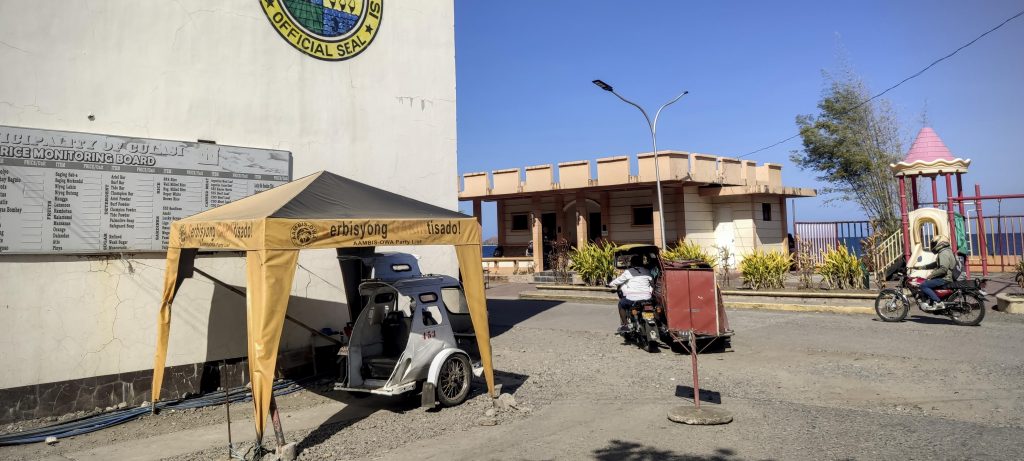
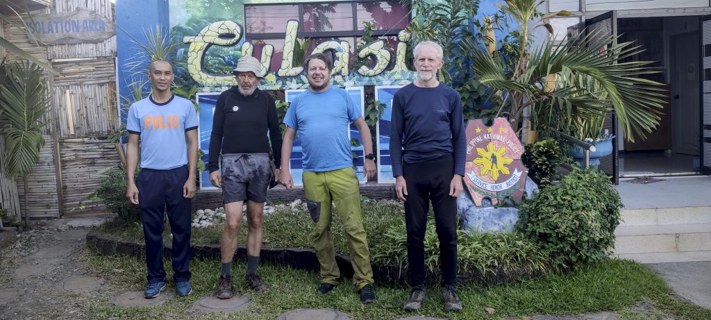
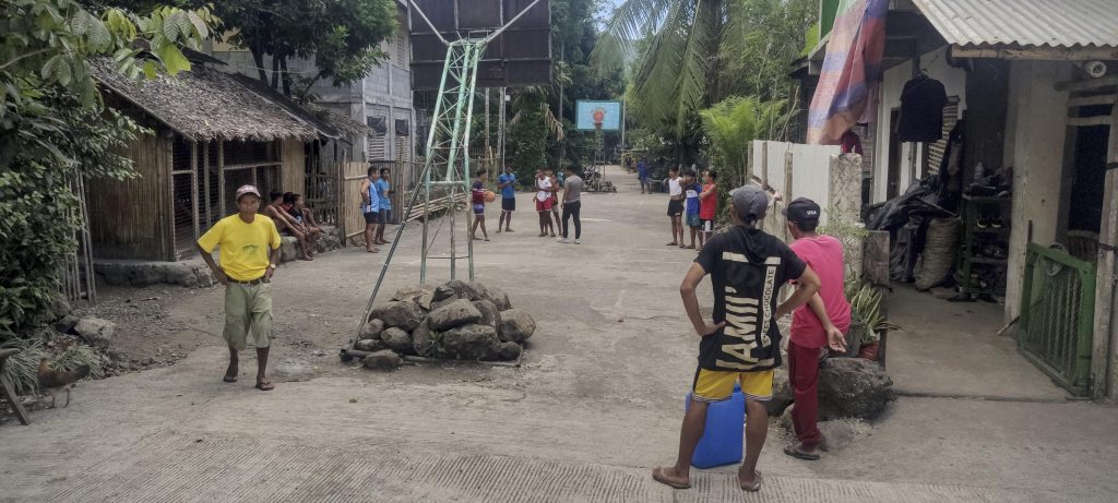
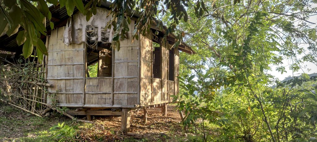
After landing at Kalibo International Airport, we go to a nearby hotel. The next morning, a car takes us to the village of Culasi. We have to register at the local police station, where the policemen are very friendly. They even bring us packets of rice wrapped in banana leaves. In return, we agree to take the obligatory team photo. After breakfast and photo registration, the motorbikes arrive and take us about 12 kilometers to the village of Flores. There we have to register again and are given a local guide. Although it takes some time, the process is smooth and easy.

Obligatory photo at the police station before the trek. Local police, Petter, me and Rob (from left to right)
Streets of Flores village
Trailhead
Fields of crops at the beginning of the trek

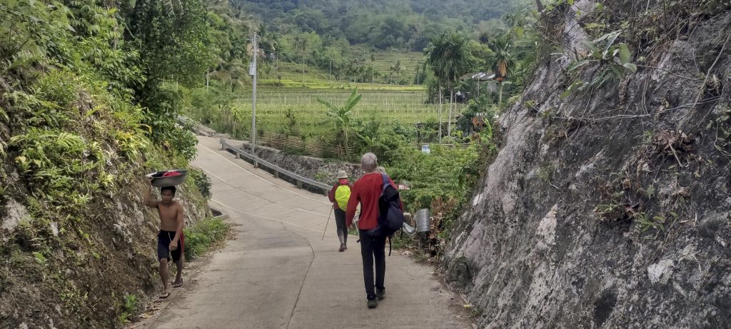
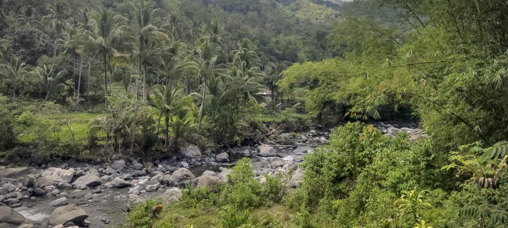
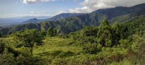
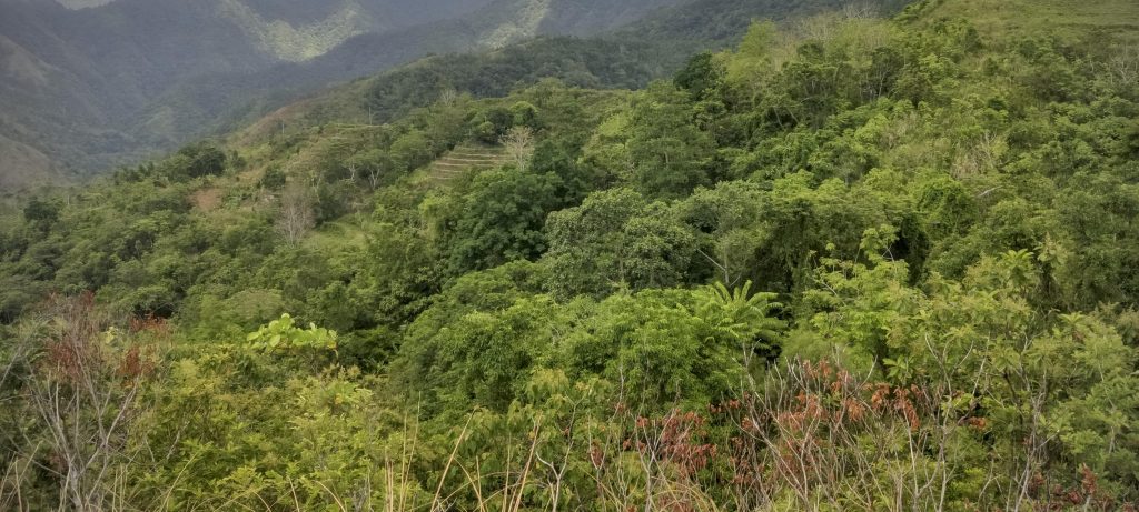
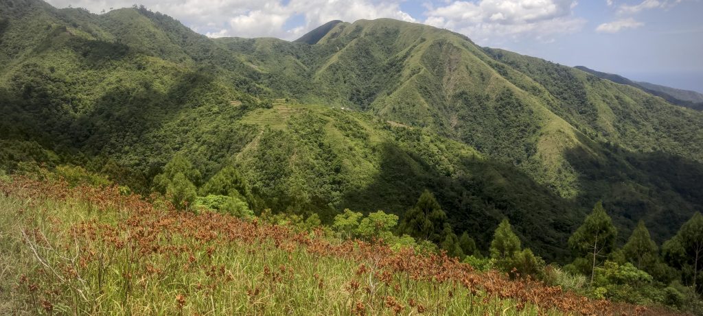
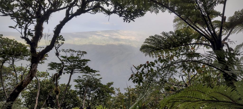
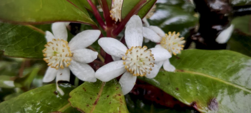
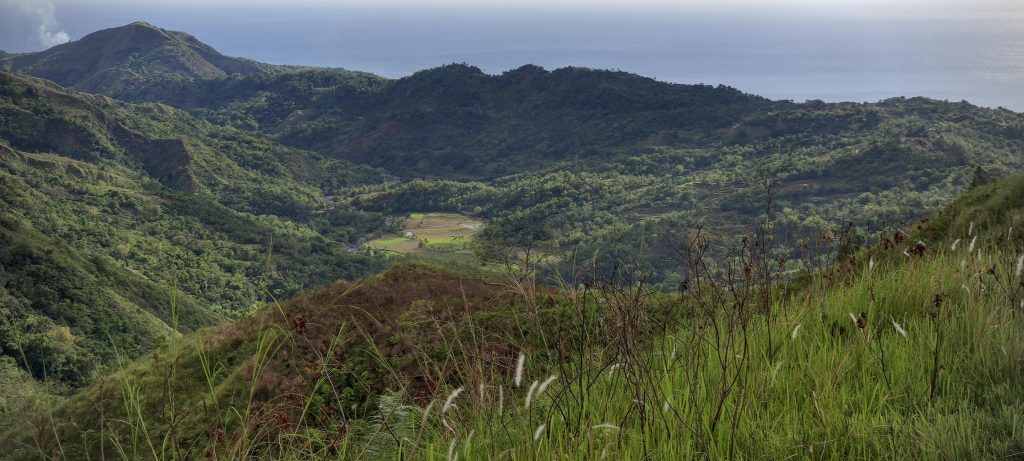
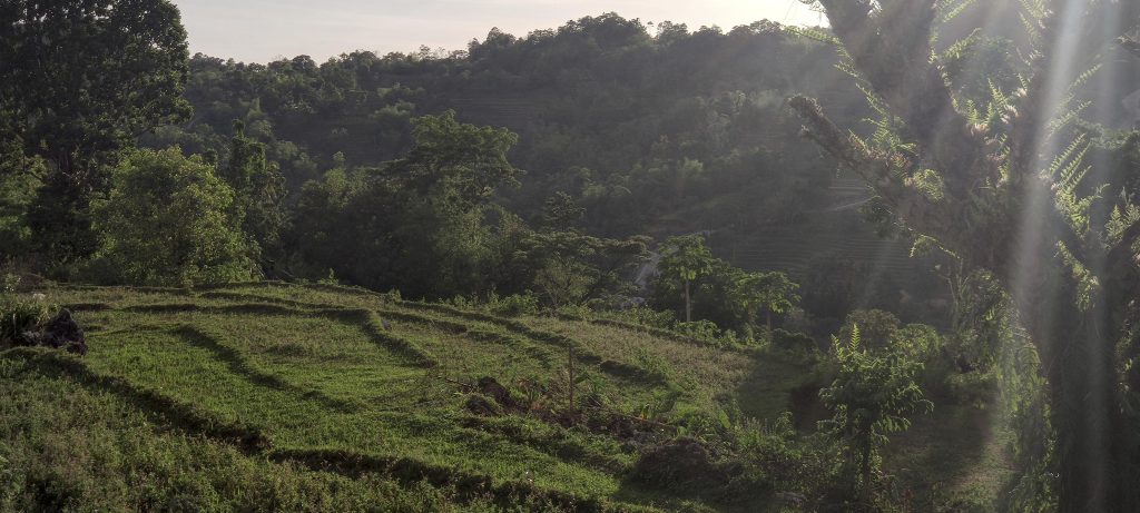
Despite not feeling well, I push myself up a few hundred meters to see how it goes. It’s slow going, of course, but to my surprise, I soon find myself on top of a smaller ridge and have to descend a few hundred meters to reach Bintang Camp. I make it, but I’m a little worried about how I’ll feel the next morning. In the midst of my discomfort, however, I can’t ignore the breathtaking beauty of the lush green mountainsides and picturesque farmland. It’s a truly enjoyable walk.

Jackfruit or langka in Filipino English
Small rice fields
Very nice green scenery
Ridge trail
Parallel ridges

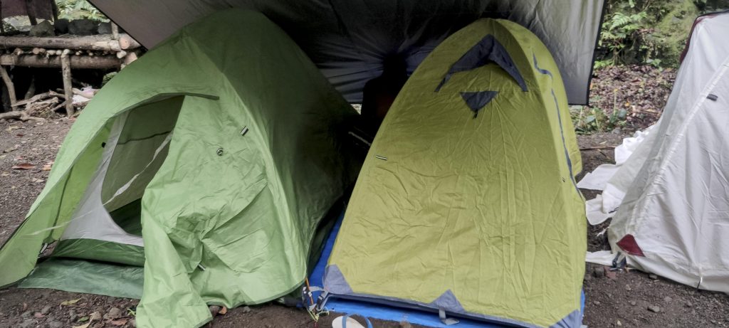
To our surprise, we found a large number of people in the camp, with around 20 or more tents. There was a team of Adventists celebrating and singing in the evening. Regardless, I quickly went to my tent and was happy to get some rest for the night. I was worried about being slow the next day, so I decided to start my hike an hour or more before sunrise. Rob and Petter started a couple of hours later. However, in the morning, I felt much better and moved at my usual pace.

Quite crowded campsite
I wake up late at night to the sound of Adventist songs, not bad, it sounds like a lullaby
Sunrise, some rare glimpses of the ocean through dense trees

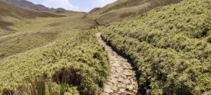
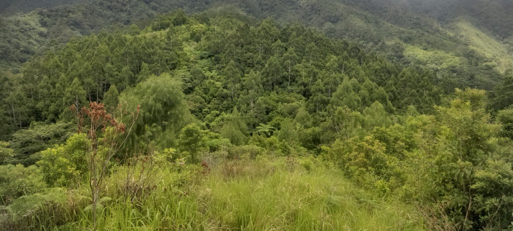
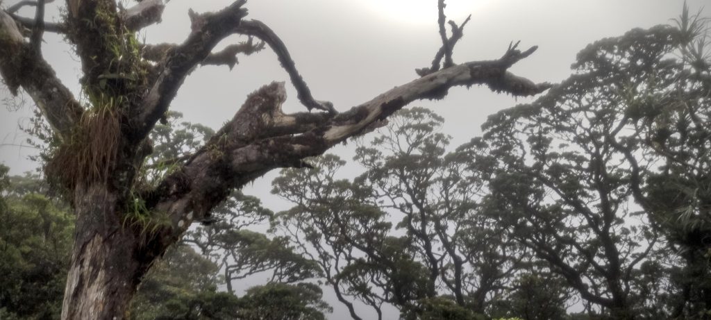
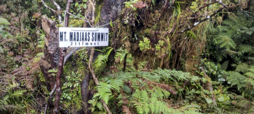
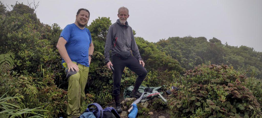
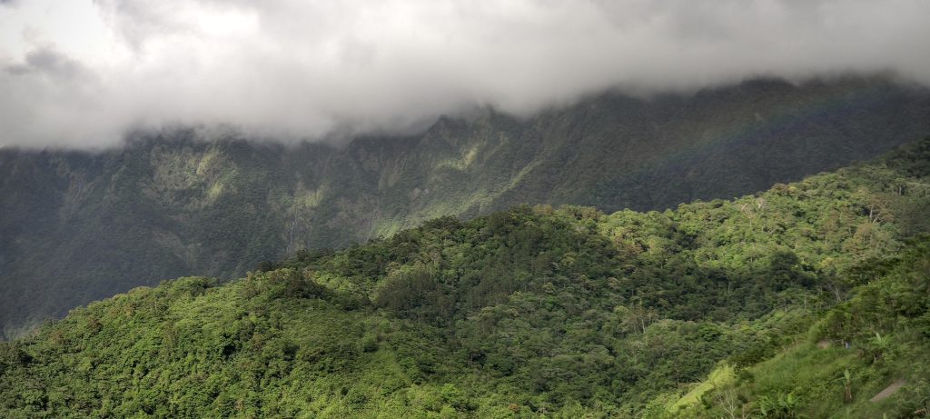
The path is visible but quite steep at the start. There are fallen trees, bushes, and muddy sections at the traversing section before the waterfall. After that, the path gets steeper again but levels out towards the top, and I soon reach the summit. A few minutes before the summit, Rob catches up with me, but he is alone. Petter is a bit behind and seems to be having a tough day. After spending ten or twenty minutes on the summit, we start the descent and finally catch up with Petter. It’s good to see that he isn’t far behind. There is a marker on the summit, bushes, and the cloud cover is quite thick. No visibility all around.

Muddy and wet trail with few views around
Summit marker
Rob and I on the summit. Petter arrives a few minutes later.
The view from the summit, obscured by clouds
Lots of interesting plants around

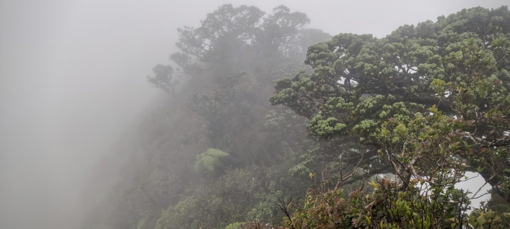
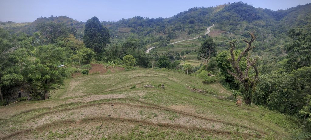
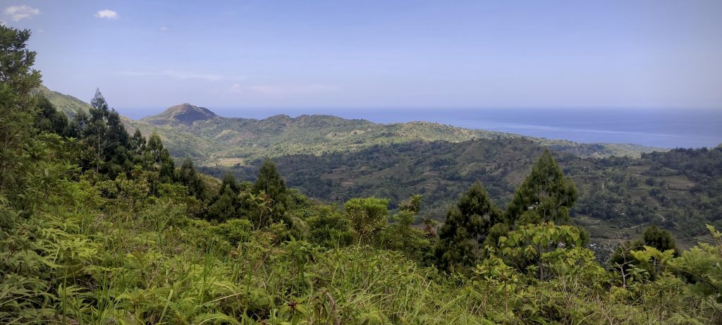
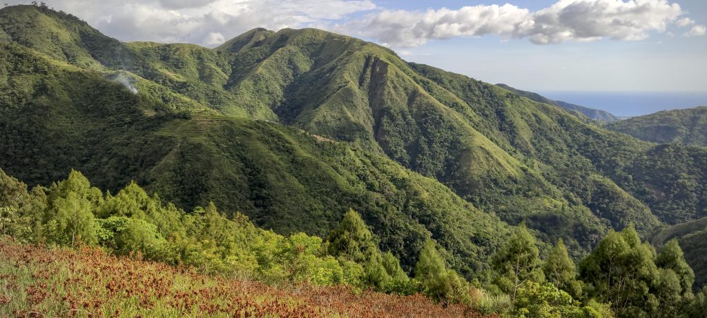
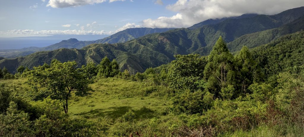
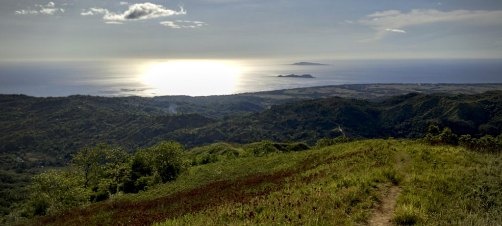
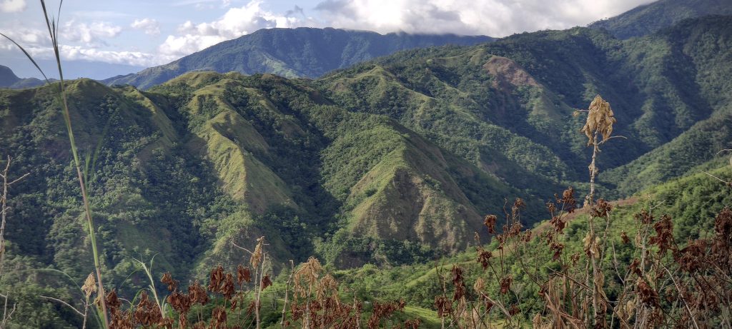
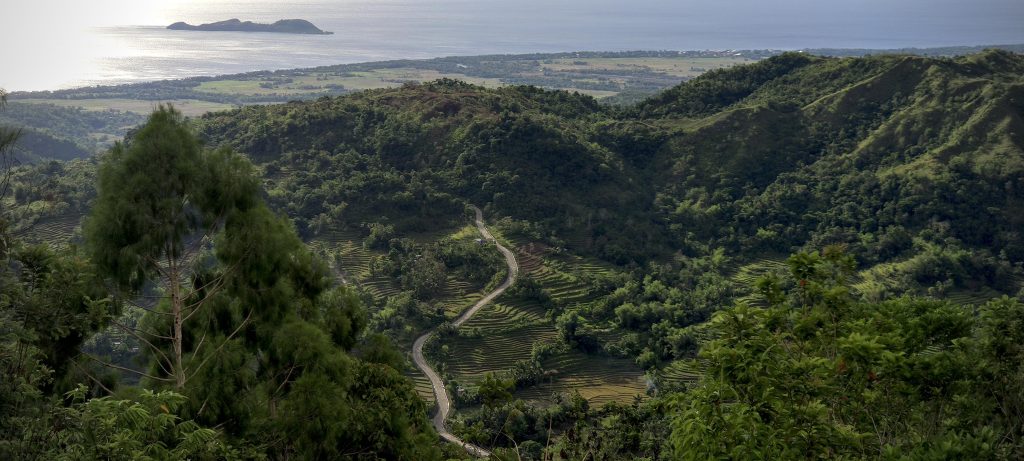
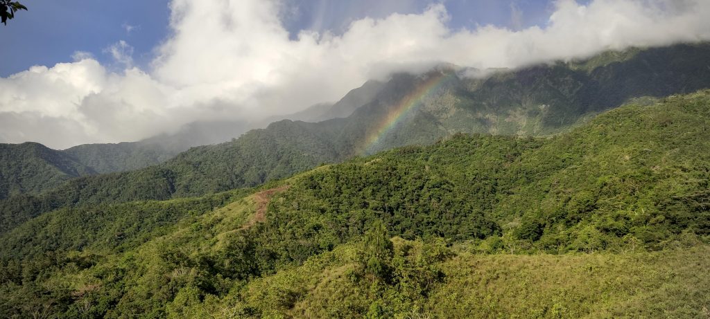
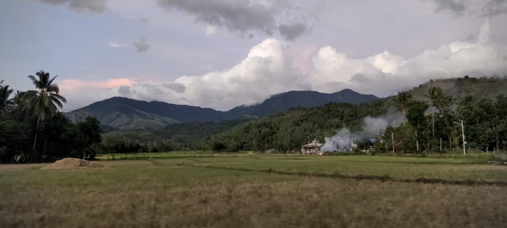
After descending to the campsite and having a quick lunch, we are ready to continue our descent. But first, we have to climb again two hundred meters to reach a small ridge. It’s a bit frustrating, but we have no choice but to accept it as part of the journey. On the plus side, the view once we emerge from the jungle is absolutely breathtaking. The lush green forests that cover both sides of the ridge are truly impressive. In the distance, we can see the ocean with Mararison and Batbatan Islands. It’s a bit hot, but not unbearable, and we even get a few drops of rain, creating a beautiful rainbow over the still cloudy summit.

Parallel ridges so green and impressive
Beautiful views coming down
Ocean with Mararison and Batbatan Island in the background
Mararison Island and road to Flores village
Somewhere over the rainbow
Skies are blue
And the dreams that you dare to dream
Really do come true..
We are back in the fields
Old bridge next to new one
Looking back at the summit from a motorbike

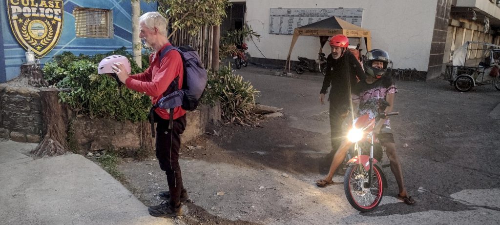
After returning to Flores village, we take a short break and enjoy a cold beer. Refreshed, we get back on the bikes and head back to Culasi village. This time, the drivers insist that we wear our helmets, which is a good safety precaution, but in fact, it’s the first time I’ve ever experienced such a thing. When we reach the village of Culasi, we have to check out at the police station and take a photo before finishing our journey.

Born to Ride..
Compulsory to check out at the police station

This was the 7th and final Ultra summit of our Philippines trip. It was a very enjoyable trek and an overall successful experience. Now it’s time to go home. We fly to Manila, and the next day we have a flight to Doha and on to London. Rob and I decide to make the most of our long layover by having dinner and doing some sightseeing in the Doha waterfront. It’s another memorable experience to add to our trip.


Mount Madjaas2117 m altitude
2117 m prominence
149.93 km isolation
RangesPhilippines - Central Philippines
Countries/regionsPhilippines - Western Visayas (VI)
Distance12.40 km up12.40 km down
Elevation2623 m gain2623 m loss
Time
10h00 up
14h00 other
8h00 down
32h00 total
Trailhead235 m altitude11.3717500, 122.1087490
RouteWe take motorbikes to Flores village. The road is paved, and a normal car should be able to get there. Then, we cross farmland to the ridge, which is open at first and later covered with forest. There's a two-hundred-meter descent to the campsite. After the campsite, there's a steep path that later becomes a flat track. However, it's quite obscured by fallen trees and bushes. Then, another steep section leads to the ridge, and a fairly level path at the top. We take the same route for the descent.
DifficultiesSteep slopes after the camp can be slippery
LinksGPX trail
  • Philippines 2023
  • « Mount Pulag
  • Manila »

Mountain Ranges

Anatolia
Central Anatolia
Pontic Mountains
Southeast Anatolia
Taurus Mountains
Western Anatolia
Andes
Puna de Atacama
Atlas Mountains
High Atlas
Northwestern Atlas
Central America Ranges
Costa Rica-Panama Ranges
Central Central America
East China
Taiwan
Eastern Europe Ranges
Southeast Baltic Plains
Iberian Peninsula
Cordillera Cantabrica
Castile Ranges
Portugal-Galicia
Pyrenees
Intermountain West
Great Basin Ranges
Korea-Amur Area
Taebaek Sanmae
Malay Archipelago
Java
Nusa Tengarra
Sulawesi
Sumatra
Mid-Atlantic Islands
North Atlantic Islands
Mongolia Ranges
Altai
Gobi Desert Ranges
Hangay Mountains
Northwest Europe
Great Britain
North France-West Rhine Area
Pacific Ranges
Cascade Range
Northwest U.S. Coast Ranges
Sierra Nevada
Central and Southern California Ranges
Philippines
Central Philippines
Luzon
Mindanao
Southeast Asia
Malay Peninsula
Southeast South America
Pampas
Sierras de Cordoba
Southern Africa
Malawi Highlands
West Africa Mountains
Bight of Benin
Cameroon Mountains
Guinea Highlands

Countries / regions

Algeria
Ain Guezzam
Ain Salah
Aïn Témouchent
El Bayadh
Ghardaïa
Oran
Ouargla
Saïda
Sidi Bel Abbès
Tamanrasset
Argentina
Catamarca
Ciudad Autónoma de Buenos Aires
Córdoba
Jujuy
Salta
Tucumán
Belgium
Brussels Capital Region
Flemish Region
Cameroon
Southwest
China
Taiwan
Costa Rica
Alajuela
Cartago
Guanacaste
Heredia
Limón
San José
Czechia
Prague
Denmark
Greenland
France
Hauts-de-France
Occitania
Germany
Berlin
Niedersachsen
Indonesia
Bali
Jambi
Jawa Tengah
Jawa Timur
Nusa Tenggara Barat
Sulawesi Tengah
Sulawesi Utara
Sumatera Barat
Lithuania
Vilnius County
Mongolia
Bayankhongor
Govi-Altai
Khovd
Omnogovi
Ovorkhangai
Ulan Bator
Zavkhan
Morocco
Béni Mellal-Khénifra
Drâa-Tafilalet
Fez-Meknes
Marrakesh-Safi
Souss-Massa
Tangier-Tetouan-Al Hoceima
Mozambique
Zambezia
Netherlands
Gelderland
Noord-Holland
Zeeland
Nicaragua
Chinandega
Managua
Masaya
Rivas
Philippines
Bicol Region (V)
Cagayan Valley (II)
Calabarzon (IV-A)
Central Luzon (III)
Cordillera Administrative Region
Davao Region
Metro Manila
Soccsksargen (XII)
Western Visayas (VI)
Poland
Greater Poland Voivodeship
Masovian Voivodeship
Portugal
Castelo Branco
Leiria
Lisbon
Madeira
Santarém
Qatar
Ad-Dawhah
São Tomé and Príncipe
São Tomé Province
Sierra Leone
Northern Province
Western Area
Singapore
South Korea
Gyeongsangnam-do
Seoul
Spain
Aragón
Asturias
Castilla-La Mancha
Castilla y León
Catalonia
Islas Canarias
Switzerland
Zürich
Turkey
Antalya
Bitlis
Erzincan
Hakkâri
Igdir
Isparta
Kahraman Maras
Muğla
United Kingdom
England
Scotland
United States
California
Delaware
Florida
Maryland
Nevada
New Jersey
New York
Pennsylvania
South Carolina
Utah

TRIPS

2024
Southern Africa 2024
Mid-Atlantic Islands 2024
North America 2024
Anatolia 2024
Korea-Amur Area 2024
East China 2024
2023
Mongolia Ranges 2023
Philippines 2023
West Africa III 2023
West Africa II 2023
Iberian Peninsula 2023
West Africa 2023
Central America 2023
2022
Andes 2022
Northwest Europe 2022
Malay Archipelago III 2022
Malay Archipelago II 2022
Anatolia Mountains 2022
Iberian Peninsula 2022
Atlas Mountains 2022
North France-West Rhine Area 2022

archaeology (3) climb (157) food (2) hike (155) p30 (17) p50 (4) p100 (24) p300 (12) p600 (17) p1000 (11) p1500 (76) ribu (10) sight (46) summary (16) trig (44) ultra (76)

1 591 km walked, 121 298 m climbed

©2025 p600.org | WordPress Theme by Superbthemes.com