Skip to content
Menu
p600.org
  • home
  • map
  • trips
  • about
p600.org

Mount Pulag

hike | 2023-04-26

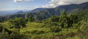
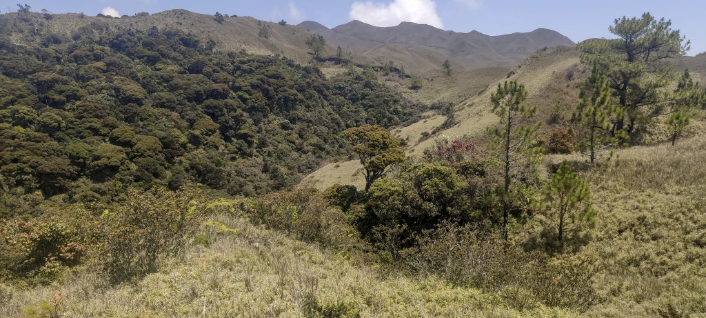
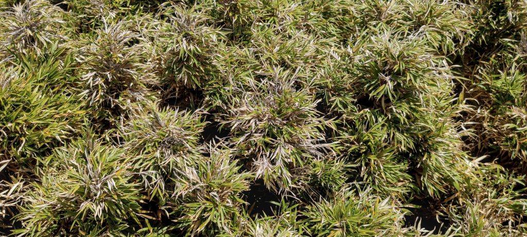
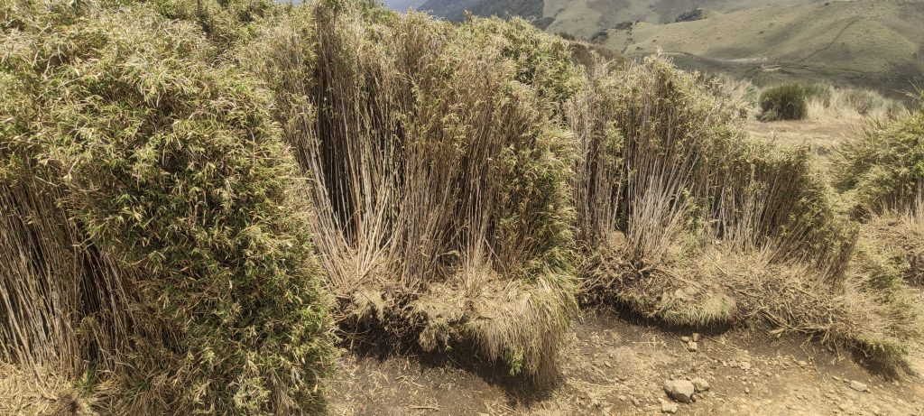
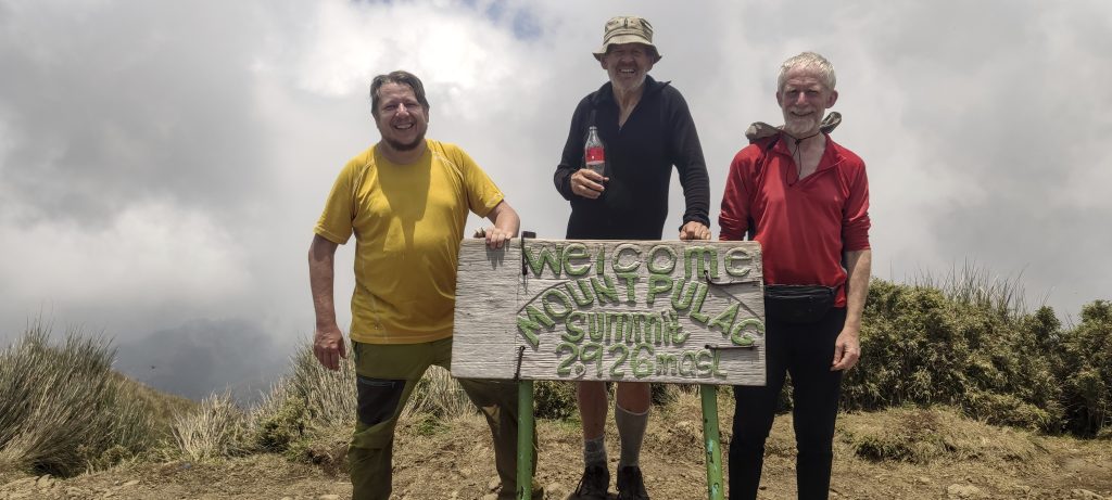
The highest point on the island of Luzon is Mount Pulag – 2922 meters, just 20 meters from the World Top 100 Prominence list. We find this hike very beautiful and interesting, especially because of the dwarf bamboo grasslands. The registration process is mostly boring but probably necessary due to the number of people trying to climb this peak. It takes about an hour to fill in some forms and attend a briefing with a dozen other trekkers. As far as I know, most people come for two days, but for us, it’s a compact four-hour round trip.

Babadag village at the start of the trail
Farmland on the first part of the walk
Tranquil vistas
We thought it was an electrical cable, but no, there are water pipes all over the place

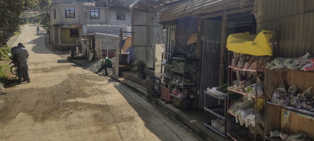
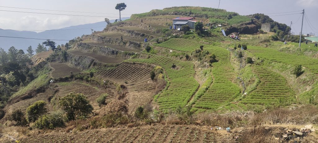
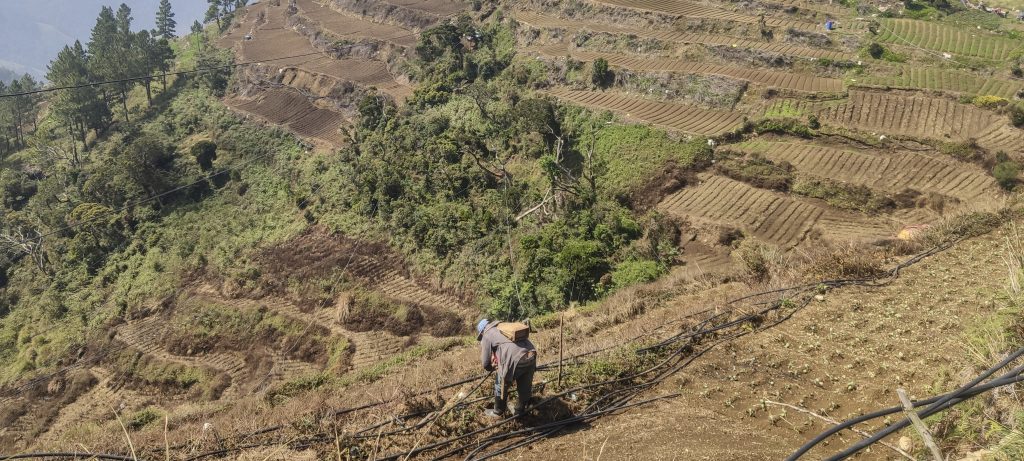
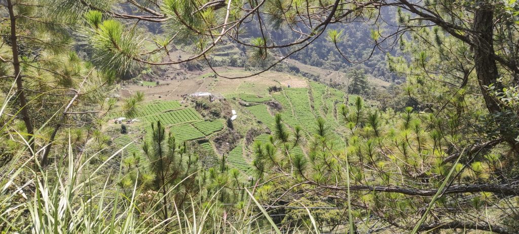
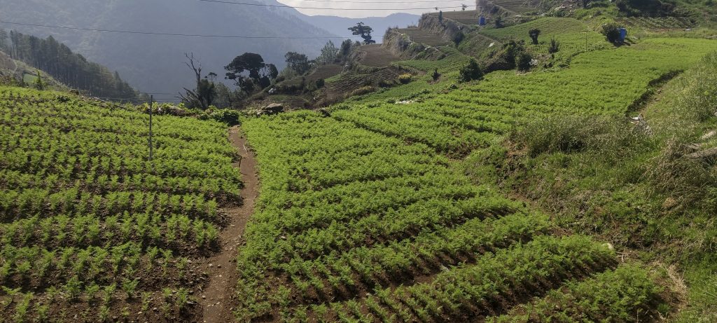
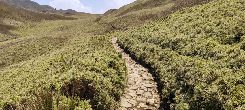
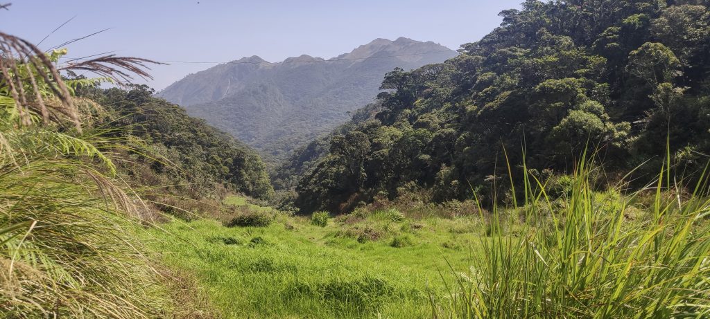
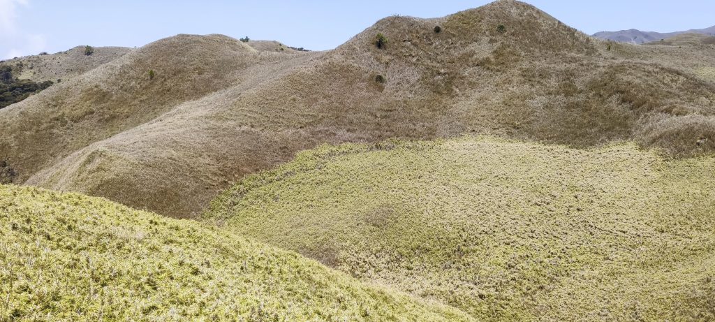
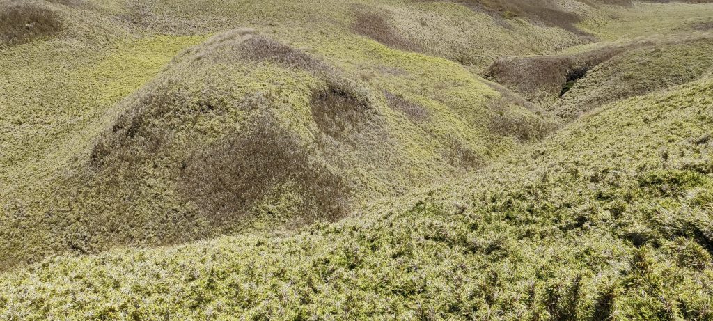
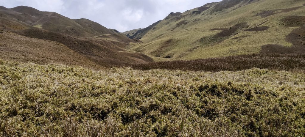
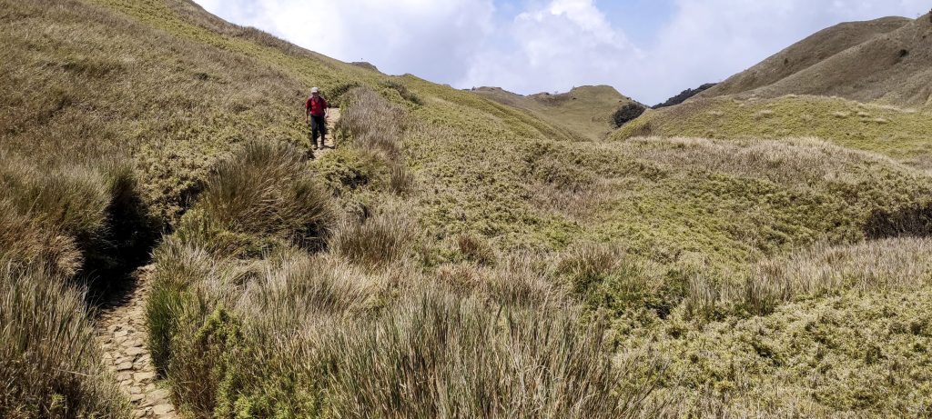
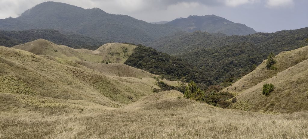
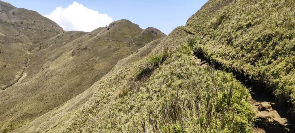
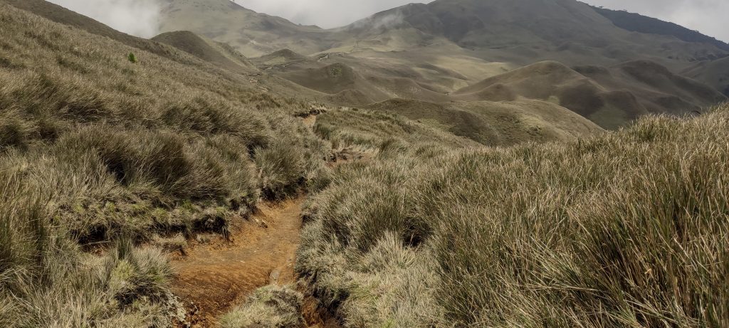
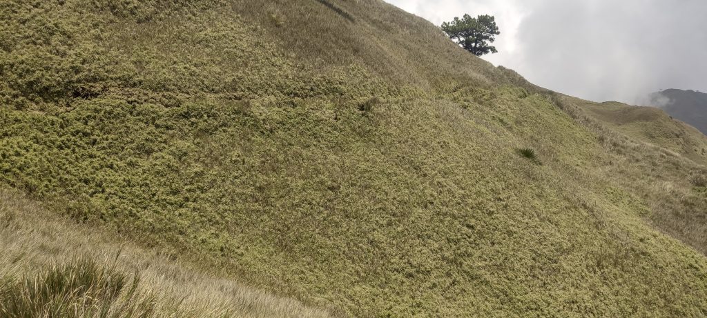
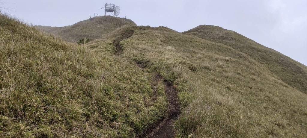
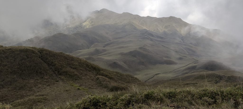
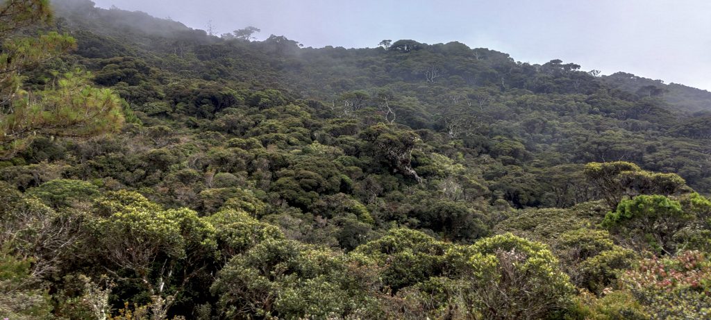
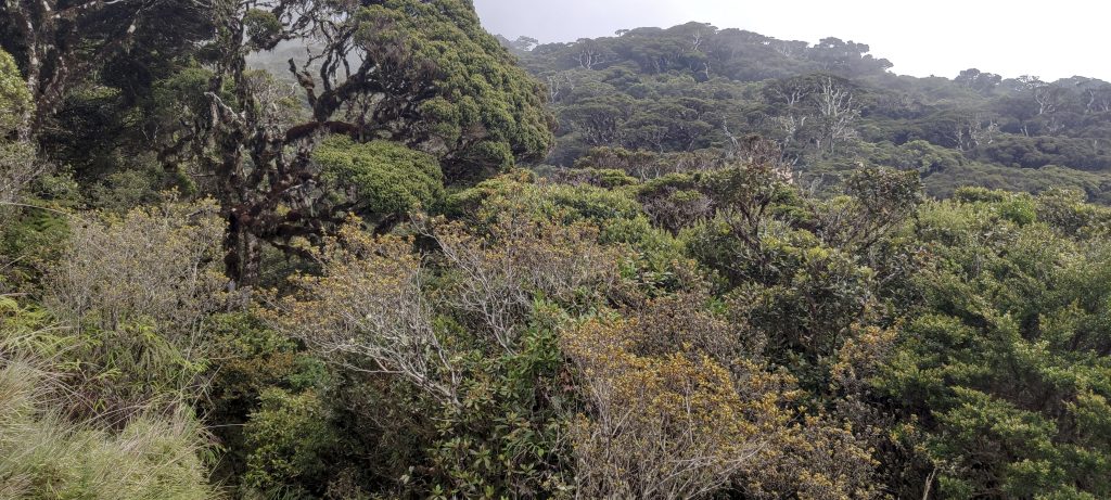
Anyway, soon after the briefing, we drive up another thousand meters and we are on the track. It starts on the road, passes some nice-looking farm fields, and soon we are in the forest. But not for long. After half an hour, we are out in the open. Nice views of dwarf bamboo grasslands. Very beautiful and interesting.

First glimpse of the summit
Good, well maintained trail
Getting out of the jungle into open terrain
Impressive fields of dwarf bamboo
All the slopes in the area are covered with dwarf bamboo
Lower peaks
Wide and beautiful valleys from the trail
Rob on the trail
Interestingly, the forest stops at the bamboo grasslands
A good path crosses the slope of the ridge, summit to the left
Pulag Junior 2795m P73, is a peak that Rob and I visited on the way down.
Close up of dwarf bamboo

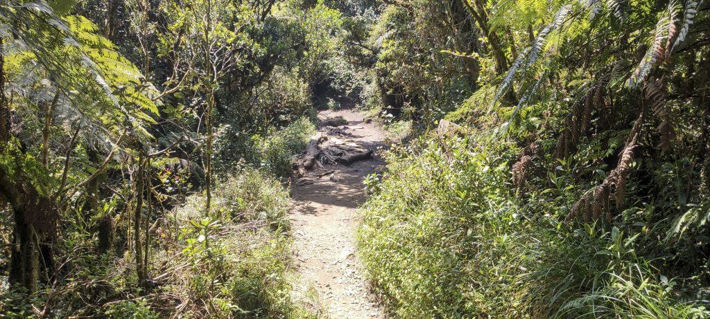
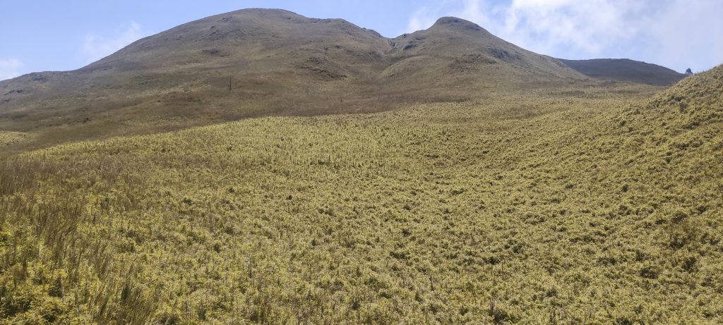
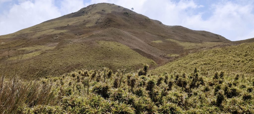
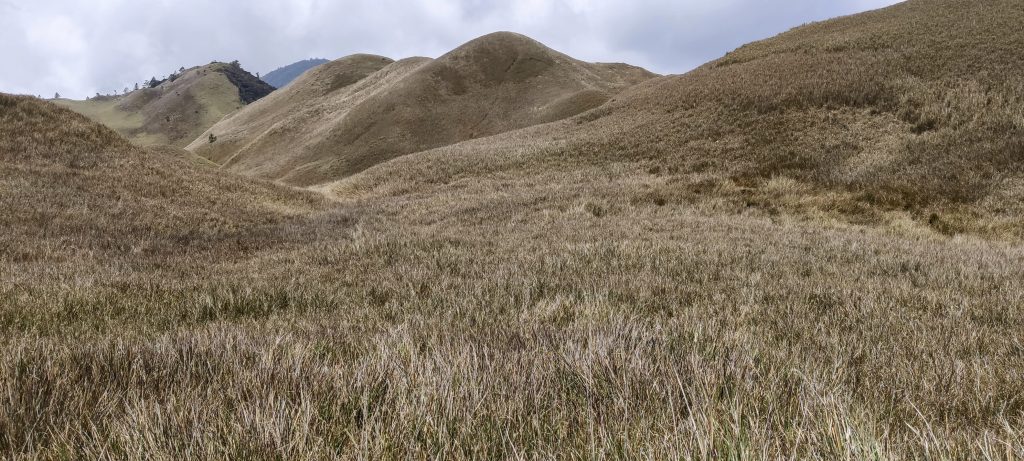
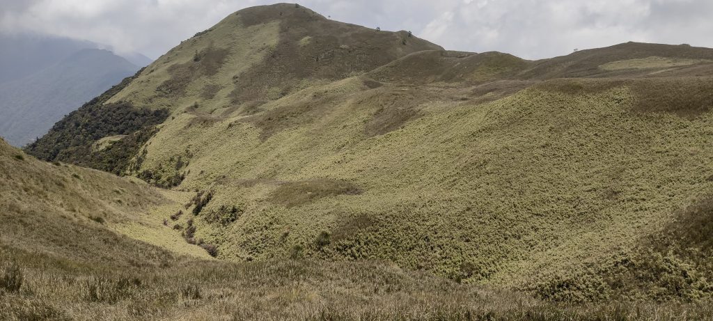
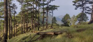
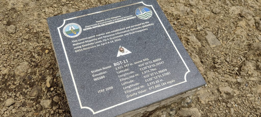
The path to the summit has no technical difficulties. It is probably the easiest trek of the trip. We soon reach the summit, which is marked by a plaque with impressively accurate measurements of height and position. The height is defined to a tenth of a millimeter, using different models, and even the value of gravity is defined. Respect!

Me, Petter and Rob at the summit (from left to right)
Summit marker with impressive measurement accuracy
On the way down
Same traverse path

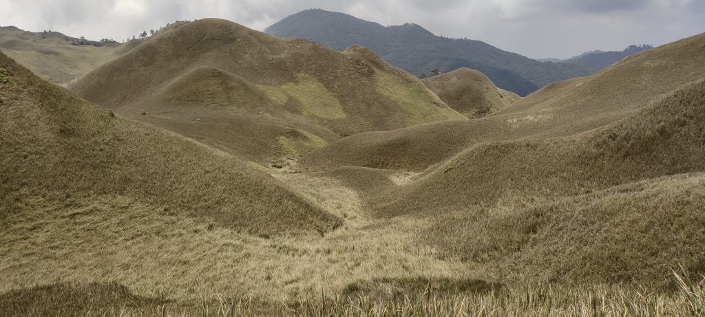
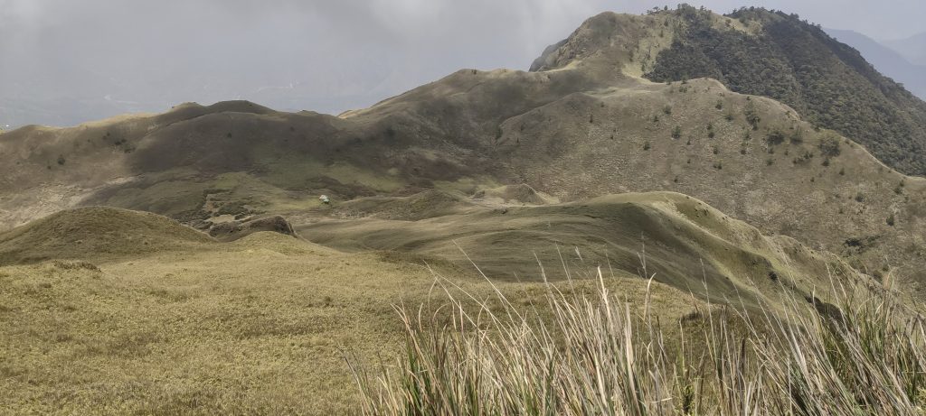
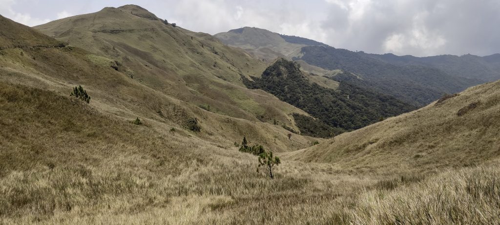
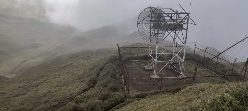
On the way down, Rob and I detour to Pulag Junior at 2795 meters with a prominence of 73 meters. There is a good path up, and on the way down, we can take a shortcut back to the main path. Some fenced antennas, but the highlight is a small bump a few meters away.

Old antenas near the summit of Pulag Junior
Views from the top of Pulag Junior
A very dense and good looking canopy
Nearly Rastafarian bus

Before we reach the car, a light rain begins, which intensifies as we change and relax. By the time we start, the rain is so heavy that the driver decides to stop and wait. As expected, the rain soon stops, and we are back at the registration office.

We wait for the heavy rain to stop in the car under the roof

An easy and memorable hike to the Ultra summit and the highest point of the island. We drive back to Manila one more time, and tomorrow we fly to Panay Island to try to reach the highest point of the island – Mount Madjaas.


Mount Pulag2922 m altitude
2922 m prominence
666.67 km isolation
RangesPhilippines - Luzon
Countries/regionsPhilippines - Cagayan Valley (II)</br>Philippines - Cordillera Administrative Region
Distance6.70 km up6.70 km down
Elevation743 m gain743 m loss
Time
2h00 up
0h05 other
2h00 down
4h05 total
Trailhead2179 m altitude16.5712220, 120.8796110
RouteAfter registering, we drive about 1000 meters up to another village where we meet our local guide (mandatory, I think). We then take a short walk along the agricultural fields, followed by another short walk in the shade of the forest. We walk for a few kilometers on a wide and clear path in the open countryside. The path becomes a little steeper before the summit, but it's still easy. We take the same route back, with the only extra detour being to Pulag Junior.
DifficultiesRegistration process
LinksGPX trail
  • Philippines 2023
  • « Mount Tapulao
  • Mount Madjaas »

Mountain Ranges

Anatolia
Central Anatolia
Pontic Mountains
Southeast Anatolia
Taurus Mountains
Western Anatolia
Andes
Puna de Atacama
Atlas Mountains
High Atlas
Northwestern Atlas
Central America Ranges
Costa Rica-Panama Ranges
Central Central America
East China
Taiwan
Eastern Europe Ranges
Southeast Baltic Plains
Iberian Peninsula
Cordillera Cantabrica
Castile Ranges
Portugal-Galicia
Pyrenees
Intermountain West
Great Basin Ranges
Korea-Amur Area
Taebaek Sanmae
Malay Archipelago
Java
Nusa Tengarra
Sulawesi
Sumatra
Mid-Atlantic Islands
North Atlantic Islands
Mongolia Ranges
Altai
Gobi Desert Ranges
Hangay Mountains
Northwest Europe
Great Britain
North France-West Rhine Area
Pacific Ranges
Cascade Range
Northwest U.S. Coast Ranges
Sierra Nevada
Central and Southern California Ranges
Philippines
Central Philippines
Luzon
Mindanao
Southeast Asia
Malay Peninsula
Southeast South America
Pampas
Sierras de Cordoba
Southern Africa
Malawi Highlands
West Africa Mountains
Bight of Benin
Cameroon Mountains
Guinea Highlands

Countries / regions

Algeria
Ain Guezzam
Ain Salah
Aïn Témouchent
El Bayadh
Ghardaïa
Oran
Ouargla
Saïda
Sidi Bel Abbès
Tamanrasset
Argentina
Catamarca
Ciudad Autónoma de Buenos Aires
Córdoba
Jujuy
Salta
Tucumán
Belgium
Brussels Capital Region
Flemish Region
Cameroon
Southwest
China
Taiwan
Costa Rica
Alajuela
Cartago
Guanacaste
Heredia
Limón
San José
Czechia
Prague
Denmark
Greenland
France
Hauts-de-France
Occitania
Germany
Berlin
Niedersachsen
Indonesia
Bali
Jambi
Jawa Tengah
Jawa Timur
Nusa Tenggara Barat
Sulawesi Tengah
Sulawesi Utara
Sumatera Barat
Lithuania
Vilnius County
Mongolia
Bayankhongor
Govi-Altai
Khovd
Omnogovi
Ovorkhangai
Ulan Bator
Zavkhan
Morocco
Béni Mellal-Khénifra
Drâa-Tafilalet
Fez-Meknes
Marrakesh-Safi
Souss-Massa
Tangier-Tetouan-Al Hoceima
Mozambique
Zambezia
Netherlands
Gelderland
Noord-Holland
Zeeland
Nicaragua
Chinandega
Managua
Masaya
Rivas
Philippines
Bicol Region (V)
Cagayan Valley (II)
Calabarzon (IV-A)
Central Luzon (III)
Cordillera Administrative Region
Davao Region
Metro Manila
Soccsksargen (XII)
Western Visayas (VI)
Poland
Greater Poland Voivodeship
Masovian Voivodeship
Portugal
Castelo Branco
Leiria
Lisbon
Madeira
Santarém
Qatar
Ad-Dawhah
São Tomé and Príncipe
São Tomé Province
Sierra Leone
Northern Province
Western Area
Singapore
South Korea
Gyeongsangnam-do
Seoul
Spain
Aragón
Asturias
Castilla-La Mancha
Castilla y León
Catalonia
Islas Canarias
Switzerland
Zürich
Turkey
Antalya
Bitlis
Erzincan
Hakkâri
Igdir
Isparta
Kahraman Maras
Muğla
United Kingdom
England
Scotland
United States
California
Delaware
Florida
Maryland
Nevada
New Jersey
New York
Pennsylvania
South Carolina
Utah

TRIPS

2024
Southern Africa 2024
Mid-Atlantic Islands 2024
North America 2024
Anatolia 2024
Korea-Amur Area 2024
East China 2024
2023
Mongolia Ranges 2023
Philippines 2023
West Africa III 2023
West Africa II 2023
Iberian Peninsula 2023
West Africa 2023
Central America 2023
2022
Andes 2022
Northwest Europe 2022
Malay Archipelago III 2022
Malay Archipelago II 2022
Anatolia Mountains 2022
Iberian Peninsula 2022
Atlas Mountains 2022
North France-West Rhine Area 2022

archaeology (3) climb (157) food (2) hike (155) p30 (17) p50 (4) p100 (24) p300 (12) p600 (17) p1000 (11) p1500 (76) ribu (10) sight (46) summary (16) trig (44) ultra (76)

1 591 km walked, 121 298 m climbed

©2025 p600.org | WordPress Theme by Superbthemes.com