Skip to content
Menu
p600.org
  • home
  • map
  • trips
  • about
p600.org

Mount Matutum

hike | 2023-04-18

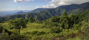
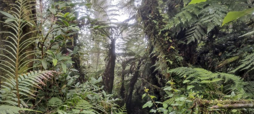
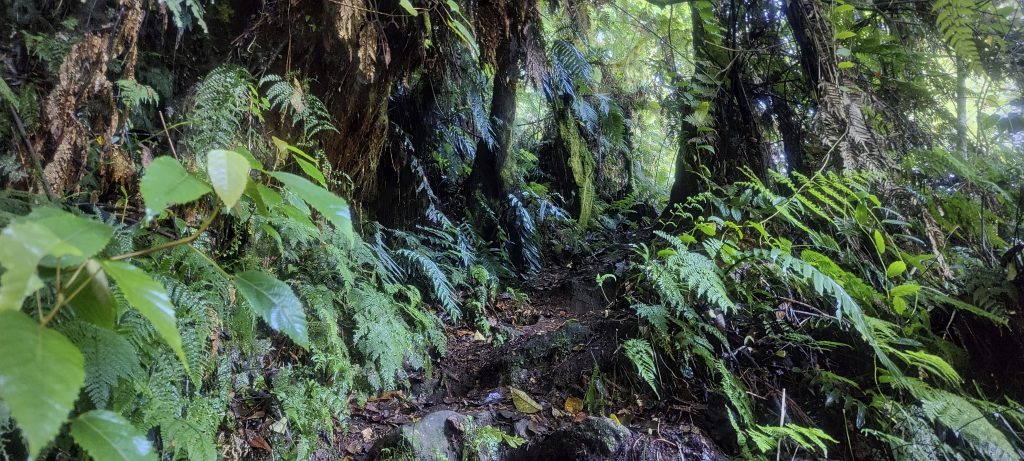
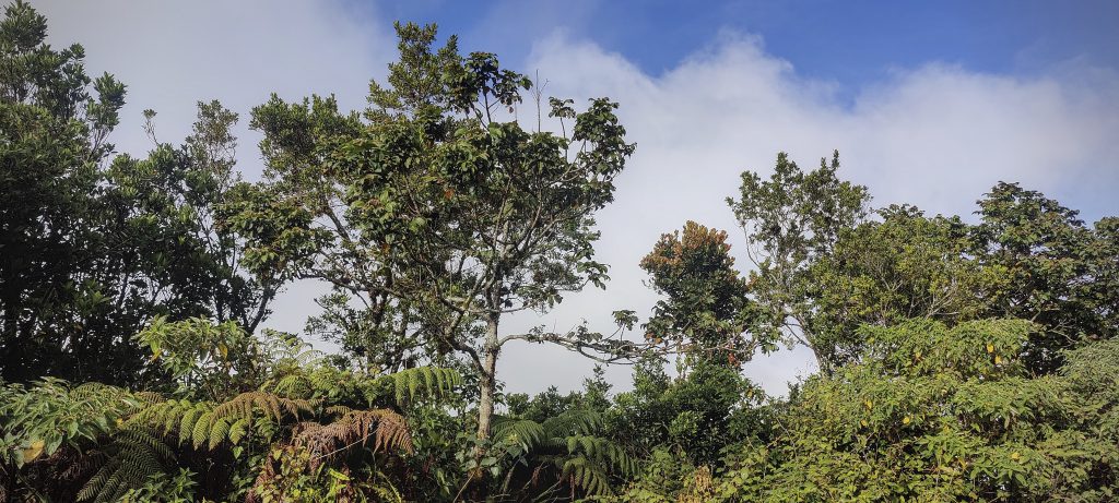
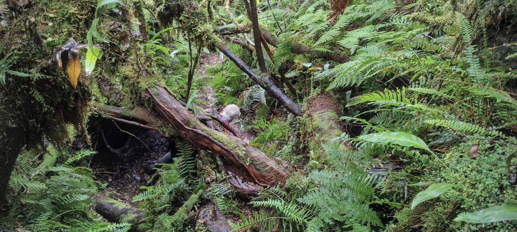
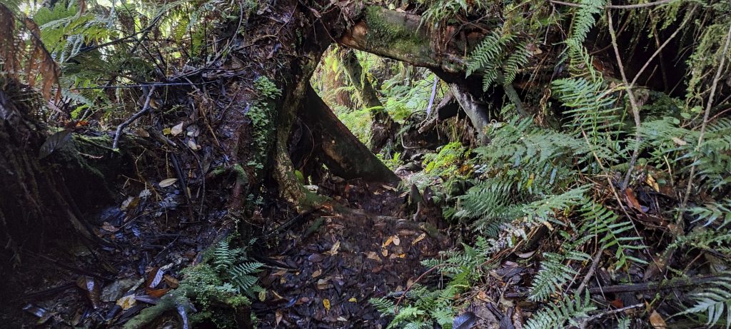
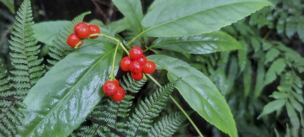
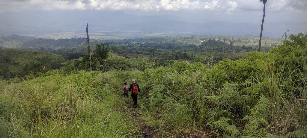
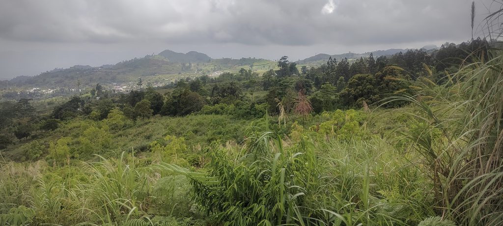
The second ultra peak on our grand itinerary was Mount Matutum. Despite the park being closed and obtaining permission being a challenge, the trail was somewhat overgrown and obstructed, though still navigable. I began my GPS track at 2:57 am, indicating an early start to the day. Initially, we traversed farmland before descending slightly. Numerous fallen trees presented obstacles along the way, and we subsequently entered the forest, following a trail characteristic of a jungle environment.

The trail is visible, but it is hard to call it flat
Some sections quite good
Some sections of the trail are truly 3D
Close to the summit
Not much to see from the top

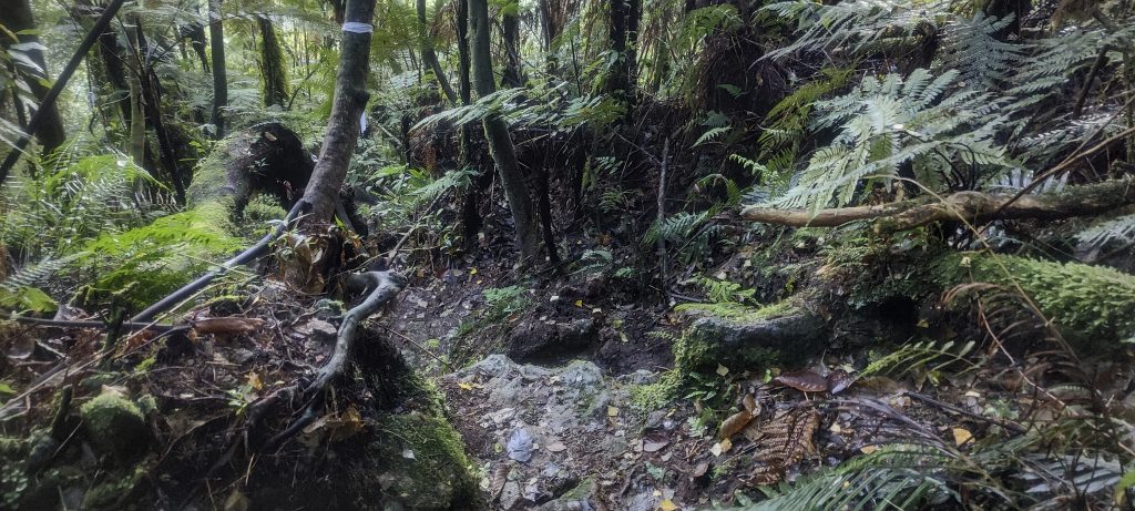
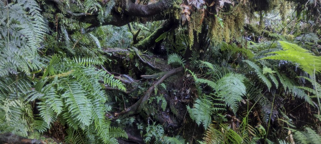
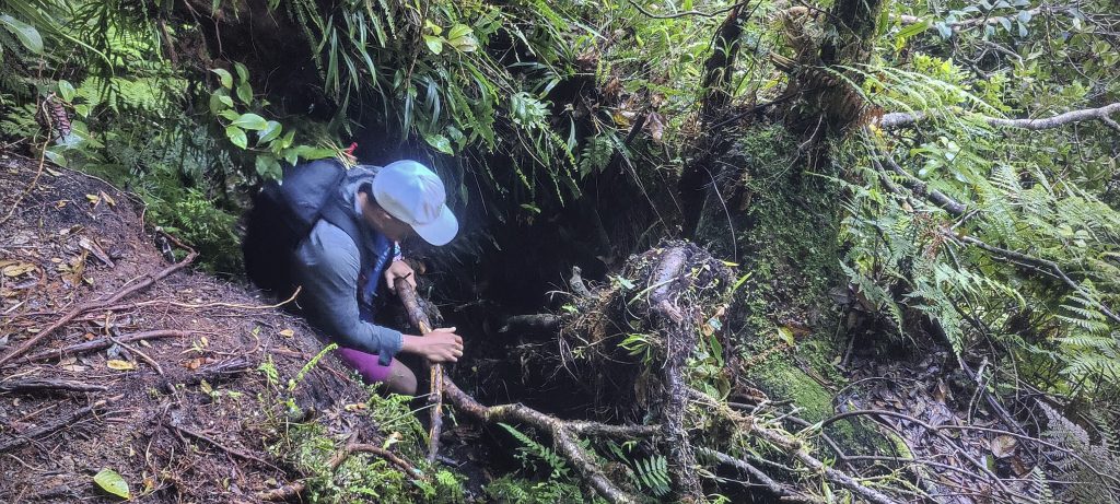
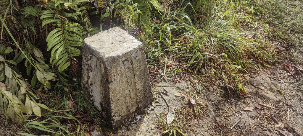
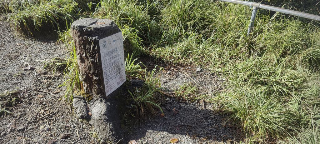
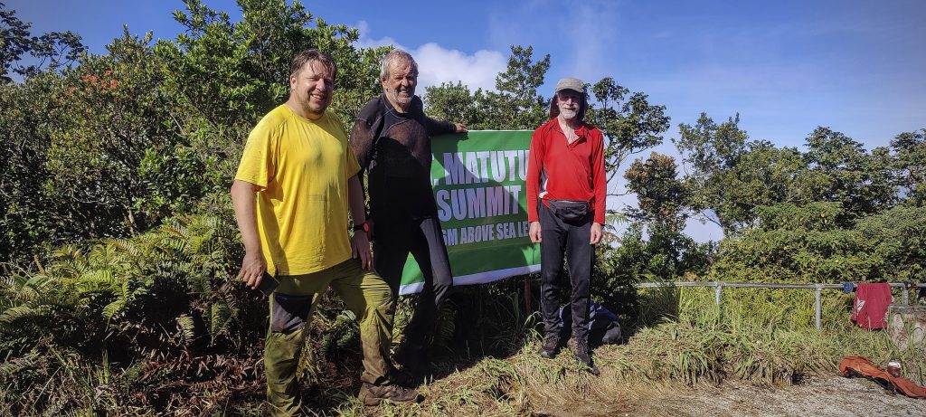
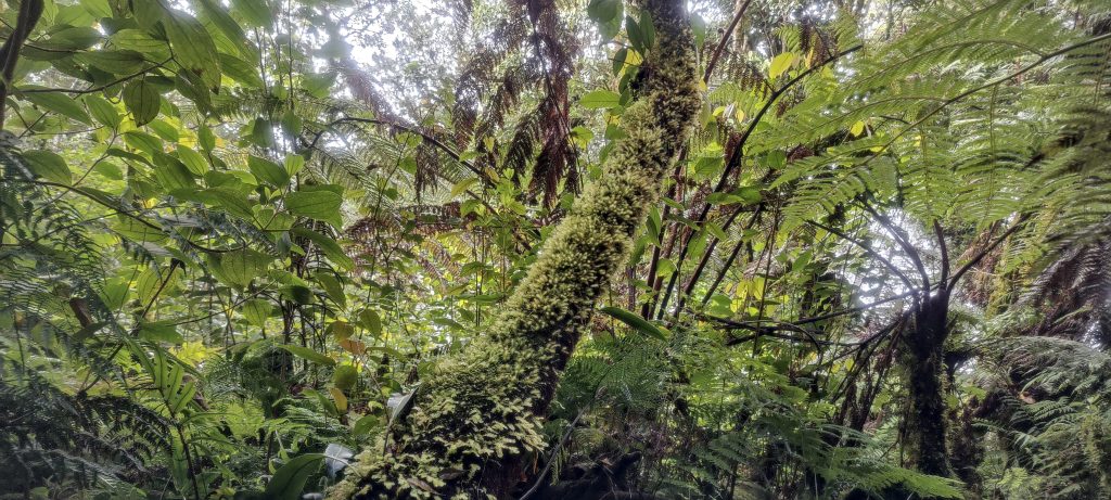
We ascended 1750m in approximately four hours, reaching the highpoint. The final stretch to the summit was pleasantly obscured by trees and roots, adding to the charm of the climb. Interestingly, a railing surrounded the summit, although the dense bushes behind it seemed to provide ample protection against falls. We came across a boundary marker, a plaque displaying the peak’s name and elevation, as well as a concrete tree stump. After a brief ten-minute pause, we retraced our steps back down the same trail. However, at an elevation of 1370m, we opted for a different path that led over another ridge. Subjectively, this trail felt easier to navigate.

Summit has boundary marker and some concrete tree stump
Me, Petter and Rob (from left to right) on the summit
Near the top we have to crawl on all fours.
In the jungle, welcome to the jungle..
Climbing dead trees and roots
Bamboo forest and grass on the way down
Berries.. red.. watch out
Bamboo (left)
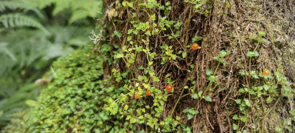
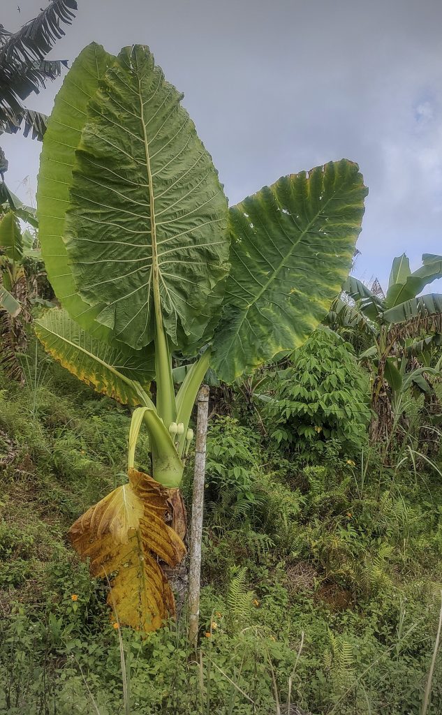
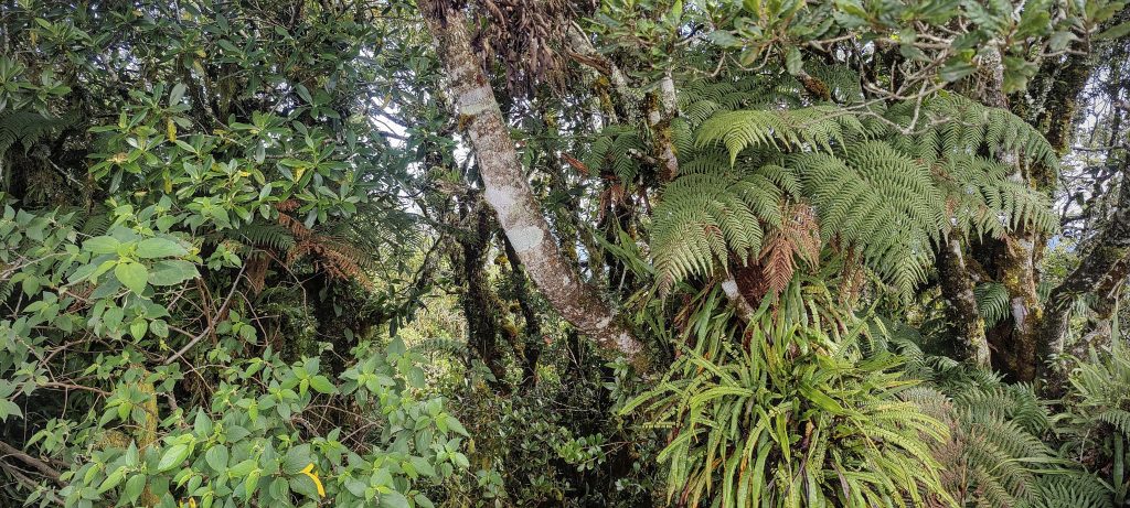
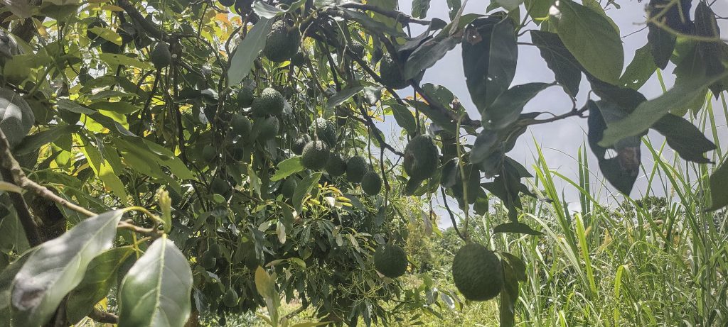
Giant leaf plant (right)
Few views near the trailhead
Avocado tree

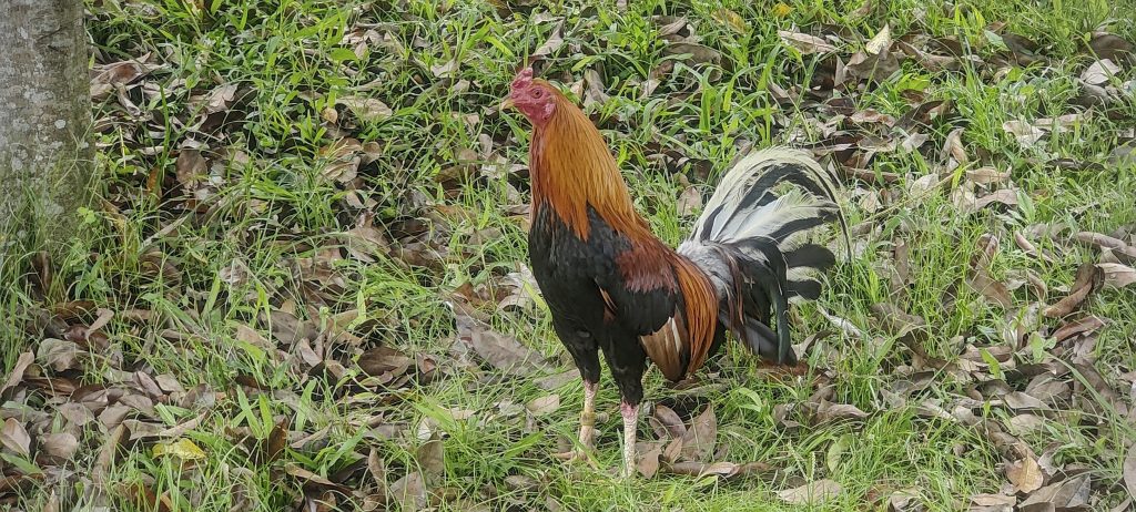
At the base of the mountain, we encountered a sizable and boisterous rooster farm. Each rooster was tethered to its own “hut,” creating a relatively well-organized farm setting.

Interesting noisy rooster farm at the foot of the mountain
Road on the way back to Davao

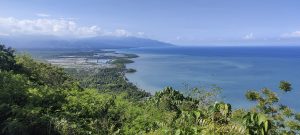
After successfully reaching our second targeted summit, we headed back to Davao.. Our next brief stop would be at Crocodile Hill, followed by our flight to Naga the following day. There, we would endeavor to ascend Mount Isarog.


Mount Matutum2286 m altitude
1950 m prominence
68.69 km isolation
RangesPhilippines - Mindanao
Countries/regionsPhilippines - Soccsksargen (XII)
Distance6.20 km up6.50 km down
Elevation1723 m gain1723 m loss
Time
4h20 up
0h10 other
3h30 down
8h00 total
Trailhead562 m altitude6.3495000, 125.0420550
RouteOur ascent commenced at 3 am from the village of Glandang. The trail led us gradually through farmland before immersing us into the jungle. Despite the trail being fairly discernible, it was adorned with dead trees and thick undergrowth. Certain sections demanded steep ascents, necessitating a degree of scrambling. As we neared the summit, the final leg proved to be rife with impediments like trees, roots, and dampness. During our descent, we retraced our steps along the same route up until the 1370m mark. From there, we veered left and chose an alternate ridge, a path I found considerably more manageable.
DifficultiesDifficult to get permission
LinksGPX trail
  • Philippines 2023
  • « Puting Bato
  • Crocodile Hill »

Mountain Ranges

Anatolia
Central Anatolia
Pontic Mountains
Southeast Anatolia
Taurus Mountains
Western Anatolia
Andes
Puna de Atacama
Atlas Mountains
High Atlas
Northwestern Atlas
Central America Ranges
Costa Rica-Panama Ranges
Central Central America
East China
Taiwan
Eastern Europe Ranges
Southeast Baltic Plains
Iberian Peninsula
Cordillera Cantabrica
Castile Ranges
Portugal-Galicia
Pyrenees
Intermountain West
Great Basin Ranges
Korea-Amur Area
Taebaek Sanmae
Malay Archipelago
Java
Nusa Tengarra
Sulawesi
Sumatra
Mid-Atlantic Islands
North Atlantic Islands
Mongolia Ranges
Altai
Gobi Desert Ranges
Hangay Mountains
Northwest Europe
Great Britain
North France-West Rhine Area
Pacific Ranges
Cascade Range
Northwest U.S. Coast Ranges
Sierra Nevada
Central and Southern California Ranges
Philippines
Central Philippines
Luzon
Mindanao
Southeast Asia
Malay Peninsula
Southeast South America
Pampas
Sierras de Cordoba
Southern Africa
Malawi Highlands
West Africa Mountains
Bight of Benin
Cameroon Mountains
Guinea Highlands

Countries / regions

Algeria
Ain Guezzam
Ain Salah
Aïn Témouchent
El Bayadh
Ghardaïa
Oran
Ouargla
Saïda
Sidi Bel Abbès
Tamanrasset
Argentina
Catamarca
Ciudad Autónoma de Buenos Aires
Córdoba
Jujuy
Salta
Tucumán
Belgium
Brussels Capital Region
Flemish Region
Cameroon
Southwest
China
Taiwan
Costa Rica
Alajuela
Cartago
Guanacaste
Heredia
Limón
San José
Czechia
Prague
Denmark
Greenland
France
Hauts-de-France
Occitania
Germany
Berlin
Niedersachsen
Indonesia
Bali
Jambi
Jawa Tengah
Jawa Timur
Nusa Tenggara Barat
Sulawesi Tengah
Sulawesi Utara
Sumatera Barat
Lithuania
Vilnius County
Mongolia
Bayankhongor
Govi-Altai
Khovd
Omnogovi
Ovorkhangai
Ulan Bator
Zavkhan
Morocco
Béni Mellal-Khénifra
Drâa-Tafilalet
Fez-Meknes
Marrakesh-Safi
Souss-Massa
Tangier-Tetouan-Al Hoceima
Mozambique
Zambezia
Netherlands
Gelderland
Noord-Holland
Zeeland
Nicaragua
Chinandega
Managua
Masaya
Rivas
Philippines
Bicol Region (V)
Cagayan Valley (II)
Calabarzon (IV-A)
Central Luzon (III)
Cordillera Administrative Region
Davao Region
Metro Manila
Soccsksargen (XII)
Western Visayas (VI)
Poland
Greater Poland Voivodeship
Masovian Voivodeship
Portugal
Castelo Branco
Leiria
Lisbon
Madeira
Santarém
Qatar
Ad-Dawhah
São Tomé and Príncipe
São Tomé Province
Sierra Leone
Northern Province
Western Area
Singapore
South Korea
Gyeongsangnam-do
Seoul
Spain
Aragón
Asturias
Castilla-La Mancha
Castilla y León
Catalonia
Islas Canarias
Switzerland
Zürich
Turkey
Antalya
Bitlis
Erzincan
Hakkâri
Igdir
Isparta
Kahraman Maras
Muğla
United Kingdom
England
Scotland
United States
California
Delaware
Florida
Maryland
Nevada
New Jersey
New York
Pennsylvania
South Carolina
Utah

TRIPS

2024
Southern Africa 2024
Mid-Atlantic Islands 2024
North America 2024
Anatolia 2024
Korea-Amur Area 2024
East China 2024
2023
Mongolia Ranges 2023
Philippines 2023
West Africa III 2023
West Africa II 2023
Iberian Peninsula 2023
West Africa 2023
Central America 2023
2022
Andes 2022
Northwest Europe 2022
Malay Archipelago III 2022
Malay Archipelago II 2022
Anatolia Mountains 2022
Iberian Peninsula 2022
Atlas Mountains 2022
North France-West Rhine Area 2022

archaeology (3) climb (157) food (2) hike (155) p30 (17) p50 (4) p100 (24) p300 (12) p600 (17) p1000 (11) p1500 (76) ribu (10) sight (46) summary (16) trig (44) ultra (76)

1 591 km walked, 121 298 m climbed

©2025 p600.org | WordPress Theme by Superbthemes.com