Skip to content
Menu
p600.org
  • home
  • map
  • trips
  • about
p600.org

Puting Bato

hike | 2023-04-17

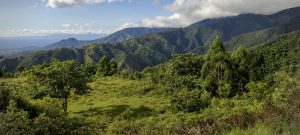
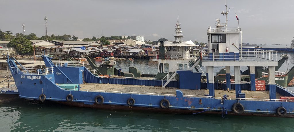
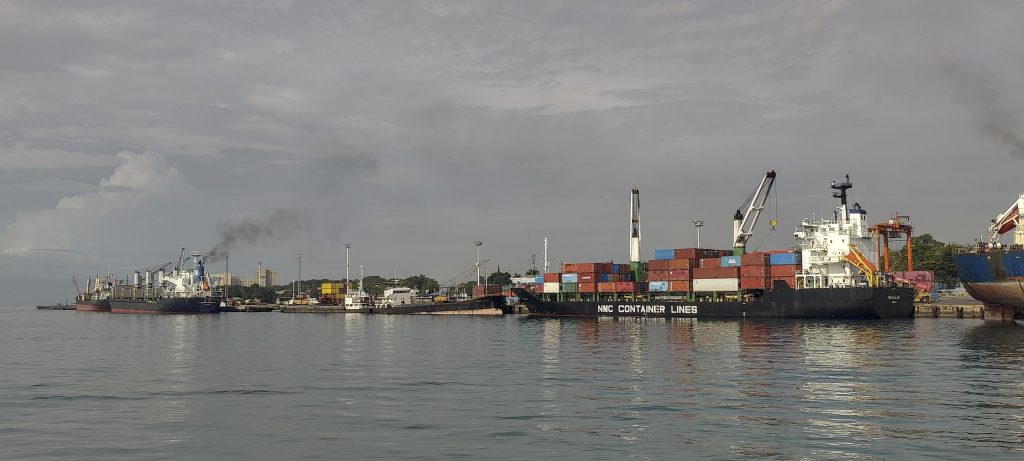
Mount Matutum is within close reach, and with the day stretching out ahead of us, we feel unhurried. Upon scrutinizing the map, our eyes quickly land on Samal Island, its pinnacle, and the delineated trail leading up. Albert’s affirmation about the ease of accessing the island and its zenith further bolsters our enthusiasm. Consequently, we board a ferry and, after a brief drive, park our vehicle at a junction, which lies approximately a kilometre and a half shy of the summit.

Ferry to Samal Island
Port north of Davao
Traditional boats

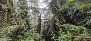
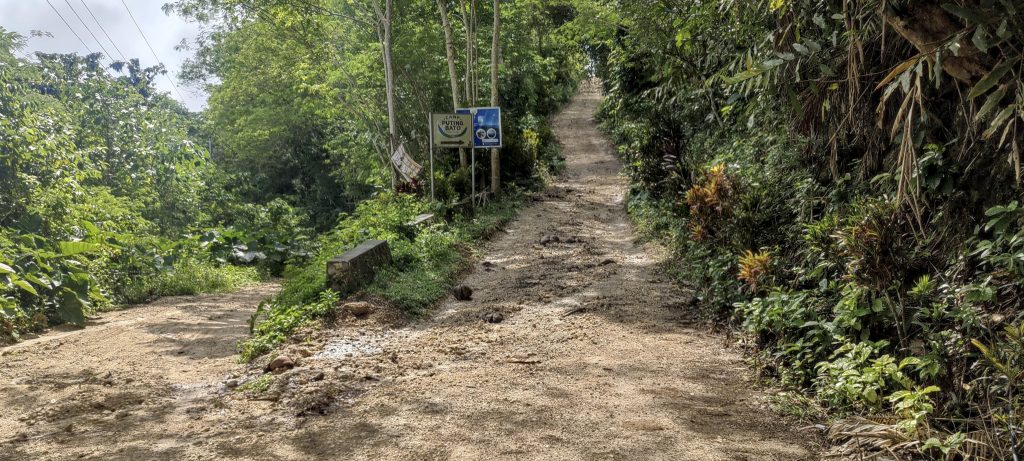
After walking for a few minutes along the road and passing a construction site, we soon found ourselves on a trail leading to closed gates. It turned out the park was only open on weekends. Surveying our surroundings, we glanced to our left, then to our right, and realized that the gates were merely flanked by bushes and not any formidable barrier.

Path to the summit is reasonably good
Sharing the trail with ants
Bamboo always looks good

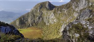
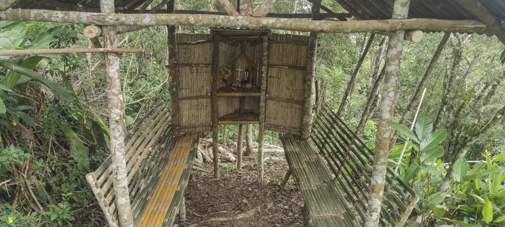
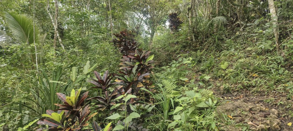
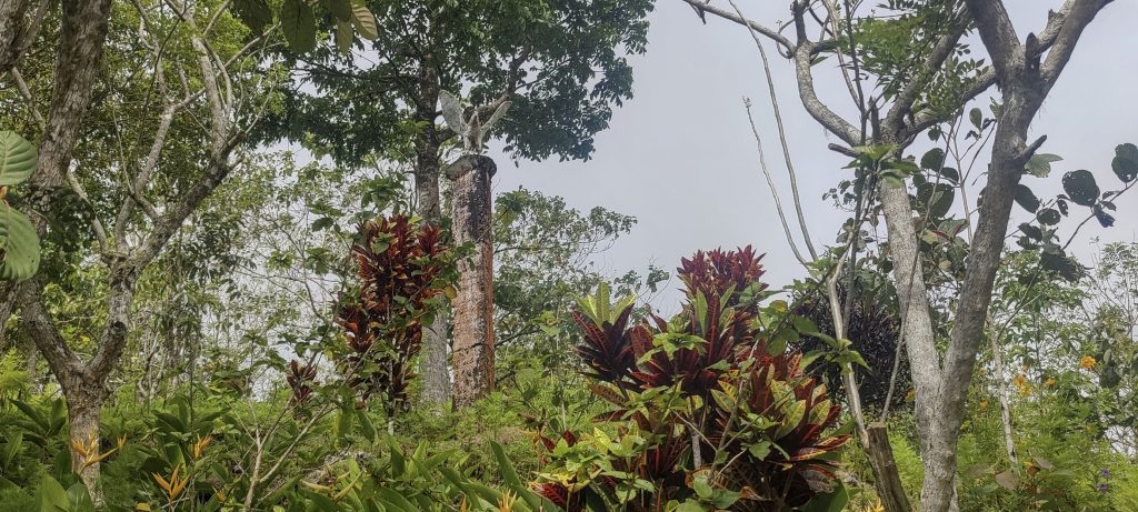
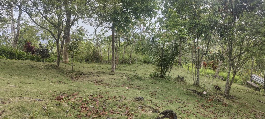
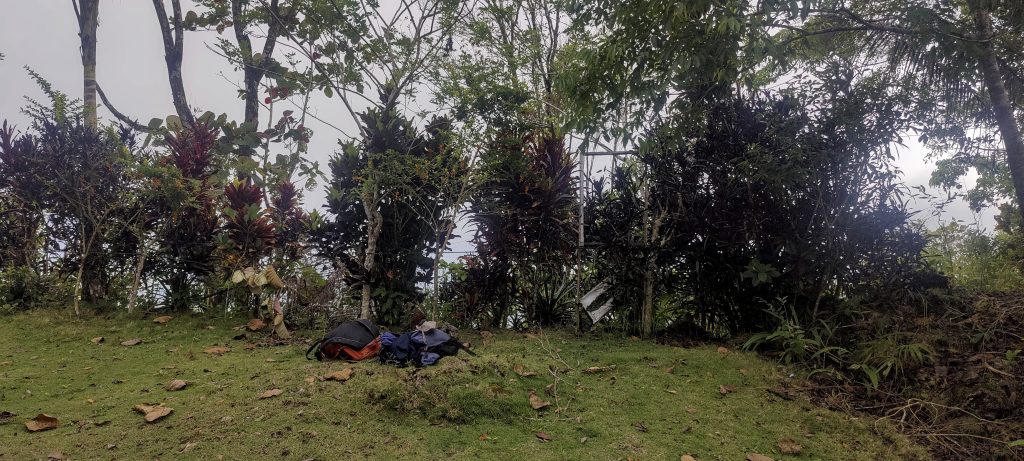
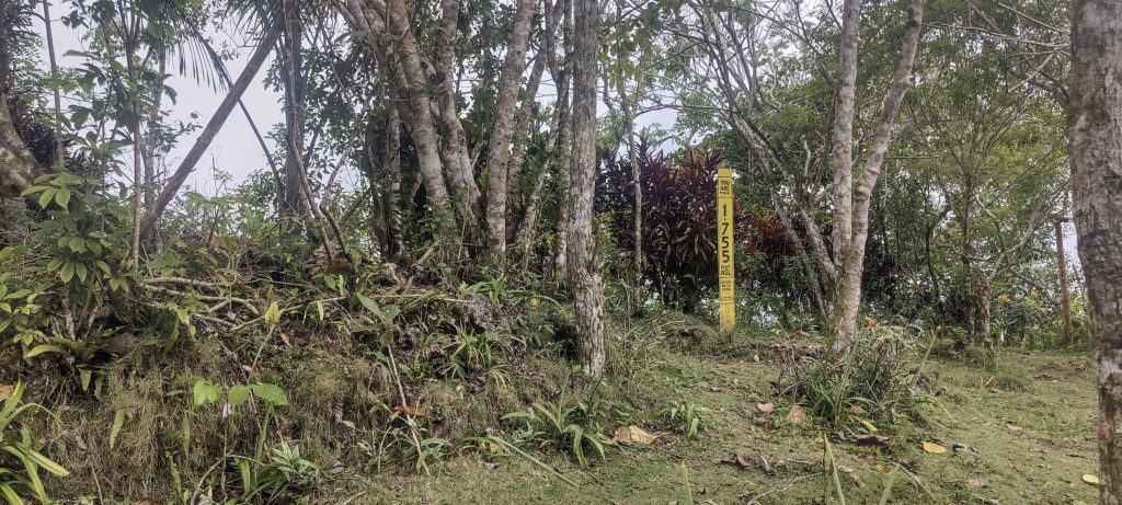
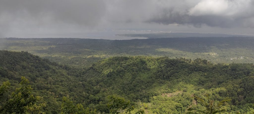
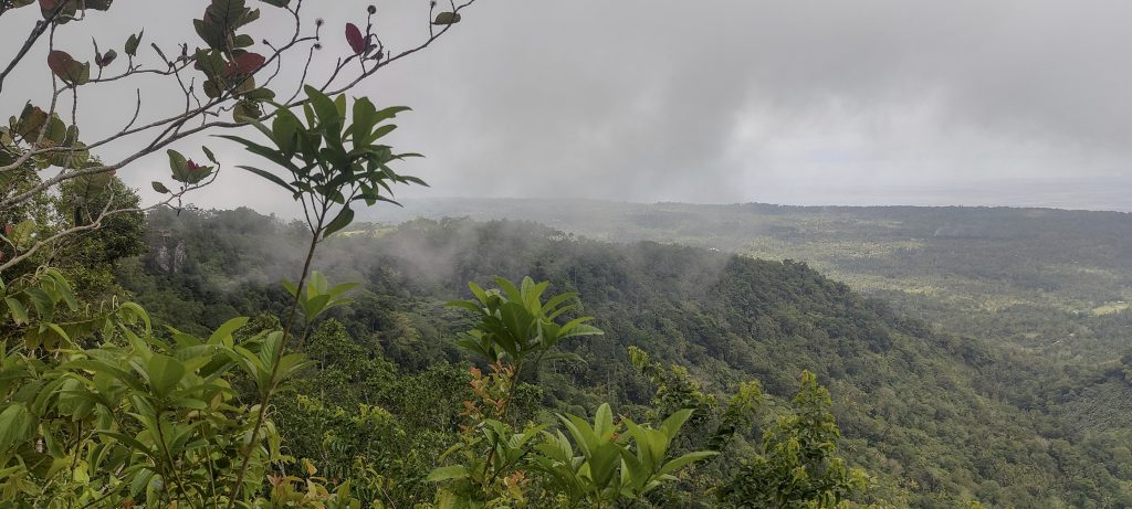
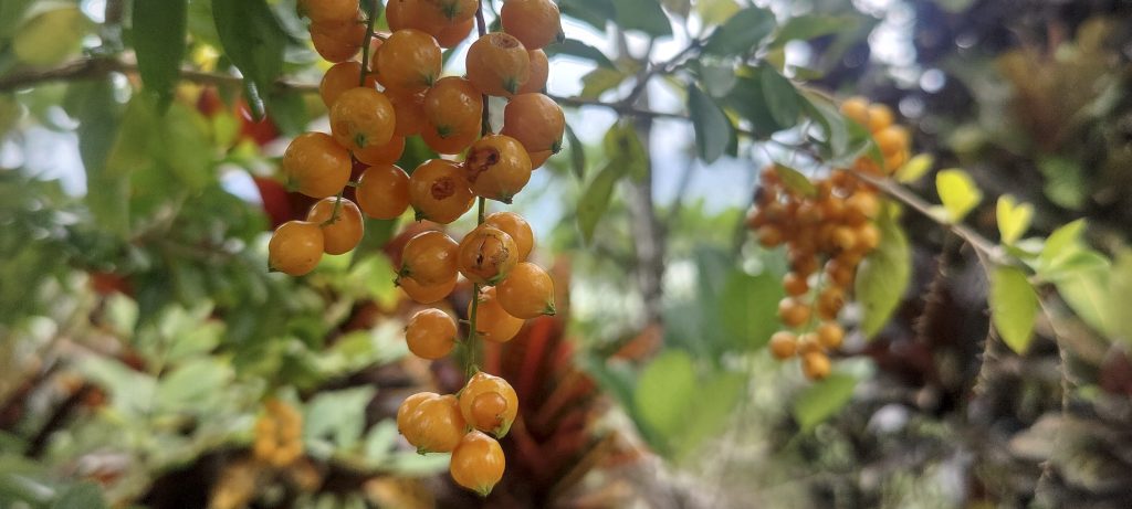
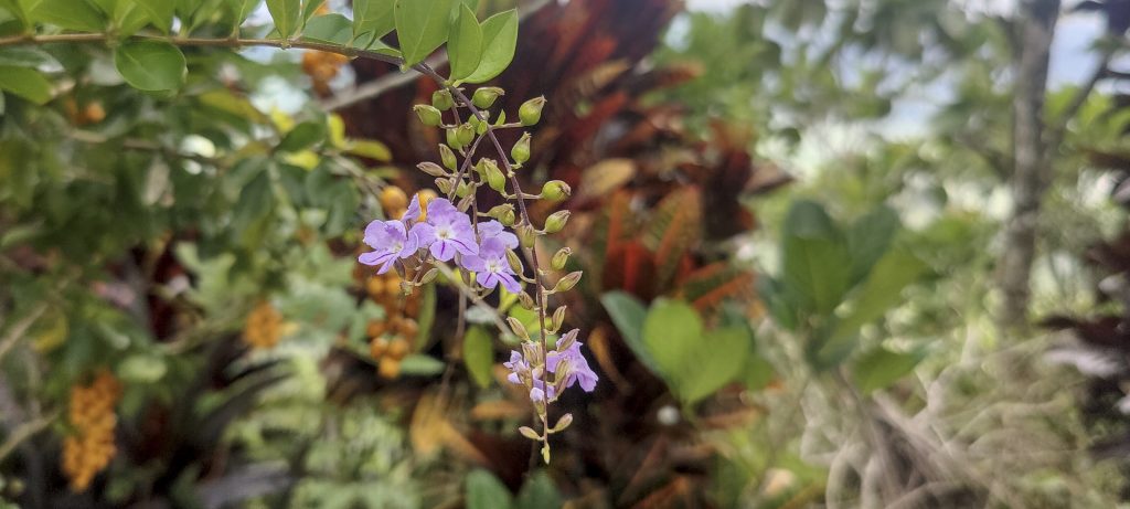
Upon reaching the summit, we discovered a beautifully landscaped recreation area adorned with a variety of plants and flowers. Although the weather was a bit overcast, we managed to catch fleeting views of the verdant landscape and the ocean beyond. It was truly picturesque. After taking measurements to confirm we were indeed at the peak, we retraced our steps and descended the same way we came up.

Some chapel
A little lower, a bar marks the summit
Green views all around
Clouds obscuring the view
Plant with impressively large leaves

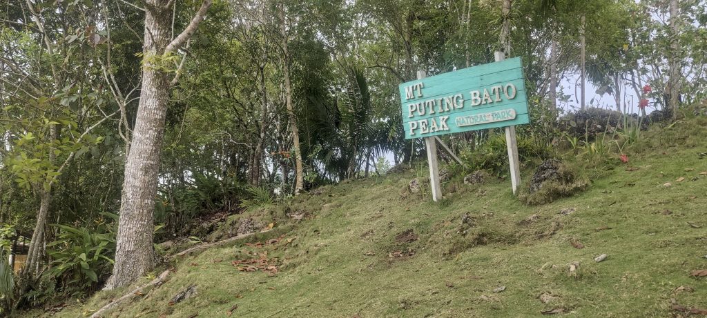
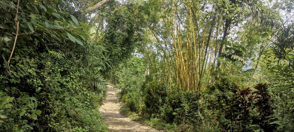
A delightful sidetrack to Puting Bato sets the tone for a fantastic day as we then set our sights on Mount Matutum.


Puting Bato540 m altitude
540 m prominence
50.57 km isolation
RangesPhilippines - Mindanao
Countries/regionsPhilippines - Davao Region
Distance1.40 km up1.40 km down
Elevation159 m gain159 m loss
Time
0h30 up
0h10 other
0h20 down
1h00 total
Trailhead381 m altitude7.0722770, 125.7654440
RouteWe begin our journey by walking on the road, then continue along a brief stretch of track, and eventually arrive at a fenced summit area that features a pleasant park and recreation space. The return journey follows the same route.
DifficultiesGates open at weekends only
LinksGPX trail
  • Philippines 2023
  • « Mount Apo
  • Mount Matutum »

Mountain Ranges

Anatolia
Central Anatolia
Pontic Mountains
Southeast Anatolia
Taurus Mountains
Western Anatolia
Andes
Puna de Atacama
Atlas Mountains
High Atlas
Northwestern Atlas
Central America Ranges
Costa Rica-Panama Ranges
Central Central America
East China
Taiwan
Eastern Europe Ranges
Southeast Baltic Plains
Iberian Peninsula
Cordillera Cantabrica
Castile Ranges
Portugal-Galicia
Pyrenees
Intermountain West
Great Basin Ranges
Korea-Amur Area
Taebaek Sanmae
Malay Archipelago
Java
Nusa Tengarra
Sulawesi
Sumatra
Mid-Atlantic Islands
North Atlantic Islands
Mongolia Ranges
Altai
Gobi Desert Ranges
Hangay Mountains
Northwest Europe
Great Britain
North France-West Rhine Area
Pacific Ranges
Cascade Range
Northwest U.S. Coast Ranges
Sierra Nevada
Central and Southern California Ranges
Philippines
Central Philippines
Luzon
Mindanao
Southeast Asia
Malay Peninsula
Southeast South America
Pampas
Sierras de Cordoba
Southern Africa
Malawi Highlands
West Africa Mountains
Bight of Benin
Cameroon Mountains
Guinea Highlands

Countries / regions

Algeria
Ain Guezzam
Ain Salah
Aïn Témouchent
El Bayadh
Ghardaïa
Oran
Ouargla
Saïda
Sidi Bel Abbès
Tamanrasset
Argentina
Catamarca
Ciudad Autónoma de Buenos Aires
Córdoba
Jujuy
Salta
Tucumán
Belgium
Brussels Capital Region
Flemish Region
Cameroon
Southwest
China
Taiwan
Costa Rica
Alajuela
Cartago
Guanacaste
Heredia
Limón
San José
Czechia
Prague
Denmark
Greenland
France
Hauts-de-France
Occitania
Germany
Berlin
Niedersachsen
Indonesia
Bali
Jambi
Jawa Tengah
Jawa Timur
Nusa Tenggara Barat
Sulawesi Tengah
Sulawesi Utara
Sumatera Barat
Lithuania
Vilnius County
Mongolia
Bayankhongor
Govi-Altai
Khovd
Omnogovi
Ovorkhangai
Ulan Bator
Zavkhan
Morocco
Béni Mellal-Khénifra
Drâa-Tafilalet
Fez-Meknes
Marrakesh-Safi
Souss-Massa
Tangier-Tetouan-Al Hoceima
Mozambique
Zambezia
Netherlands
Gelderland
Noord-Holland
Zeeland
Nicaragua
Chinandega
Managua
Masaya
Rivas
Philippines
Bicol Region (V)
Cagayan Valley (II)
Calabarzon (IV-A)
Central Luzon (III)
Cordillera Administrative Region
Davao Region
Metro Manila
Soccsksargen (XII)
Western Visayas (VI)
Poland
Greater Poland Voivodeship
Masovian Voivodeship
Portugal
Castelo Branco
Leiria
Lisbon
Madeira
Santarém
Qatar
Ad-Dawhah
São Tomé and Príncipe
São Tomé Province
Sierra Leone
Northern Province
Western Area
Singapore
South Korea
Gyeongsangnam-do
Seoul
Spain
Aragón
Asturias
Castilla-La Mancha
Castilla y León
Catalonia
Islas Canarias
Switzerland
Zürich
Turkey
Antalya
Bitlis
Erzincan
Hakkâri
Igdir
Isparta
Kahraman Maras
Muğla
United Kingdom
England
Scotland
United States
California
Delaware
Florida
Maryland
Nevada
New Jersey
New York
Pennsylvania
South Carolina
Utah

TRIPS

2024
Southern Africa 2024
Mid-Atlantic Islands 2024
North America 2024
Anatolia 2024
Korea-Amur Area 2024
East China 2024
2023
Mongolia Ranges 2023
Philippines 2023
West Africa III 2023
West Africa II 2023
Iberian Peninsula 2023
West Africa 2023
Central America 2023
2022
Andes 2022
Northwest Europe 2022
Malay Archipelago III 2022
Malay Archipelago II 2022
Anatolia Mountains 2022
Iberian Peninsula 2022
Atlas Mountains 2022
North France-West Rhine Area 2022

archaeology (3) climb (157) food (2) hike (155) p30 (17) p50 (4) p100 (24) p300 (12) p600 (17) p1000 (11) p1500 (76) ribu (10) sight (46) summary (16) trig (44) ultra (76)

1 591 km walked, 121 298 m climbed

©2025 p600.org | WordPress Theme by Superbthemes.com