Skip to content
Menu
p600.org
  • home
  • map
  • trips
  • about
p600.org

Cruz de Hierro

hike | 2022-09-11
1662 m altitude, 361 m prominence, 33.32 km isolation

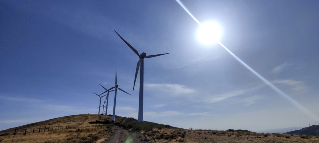
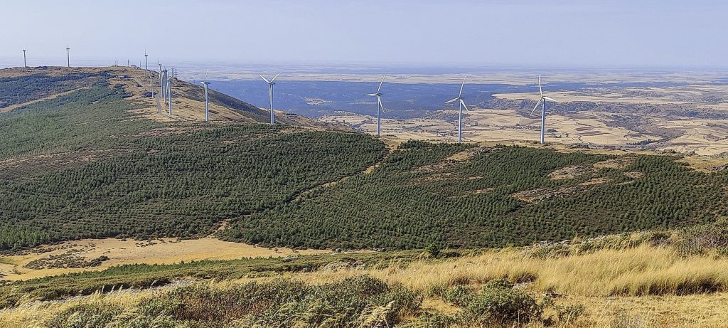
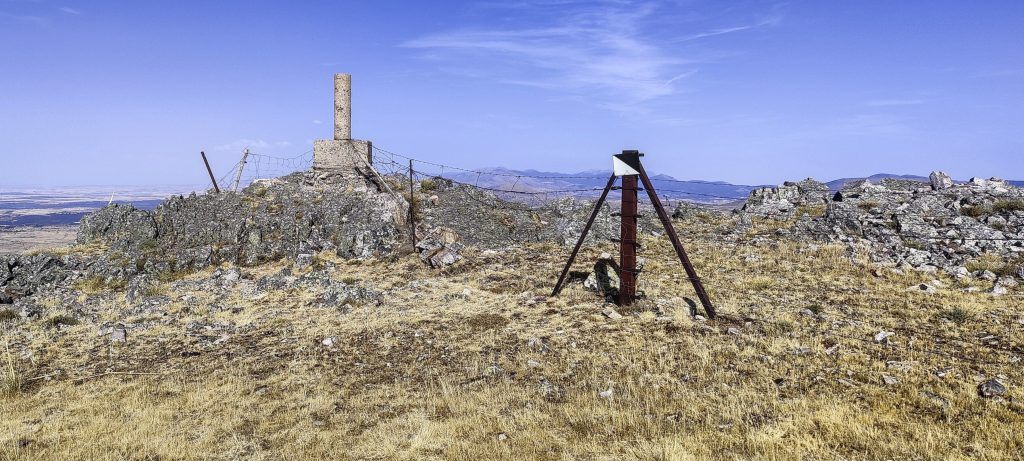
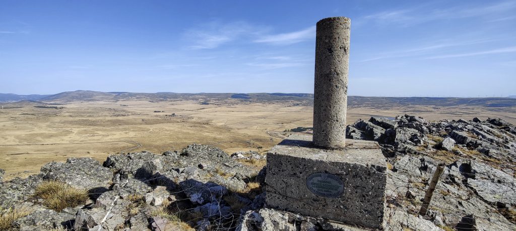
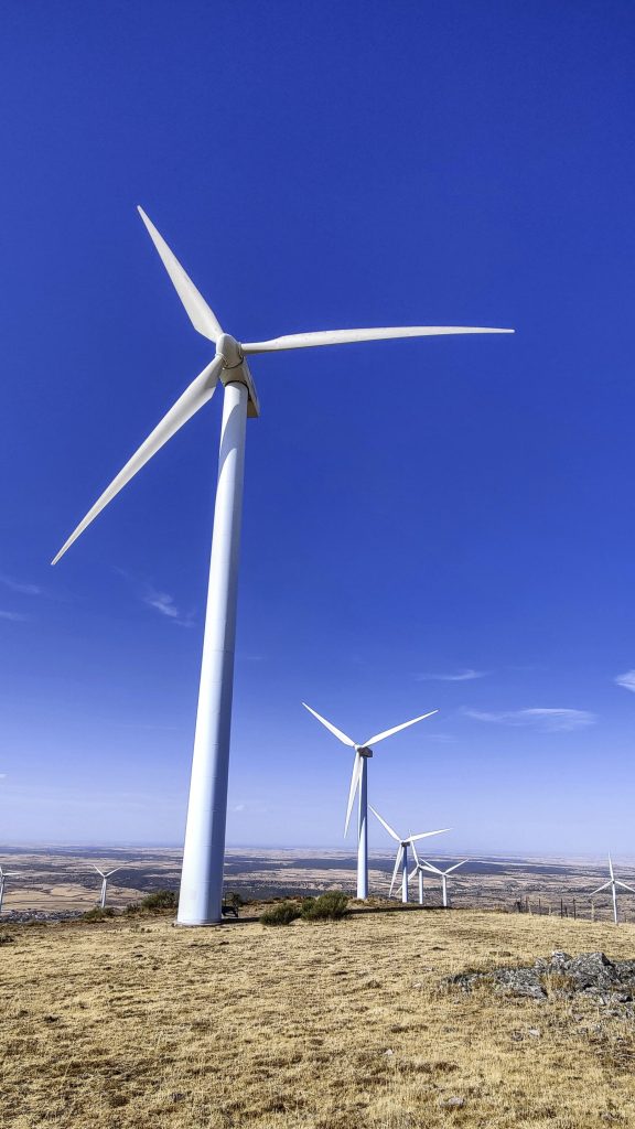
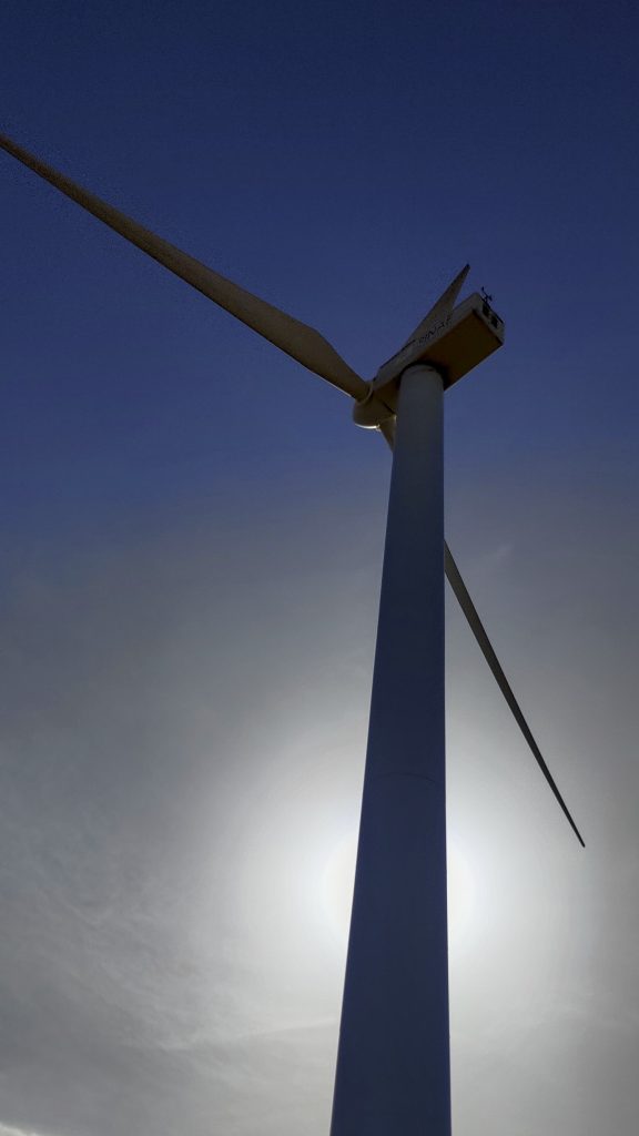
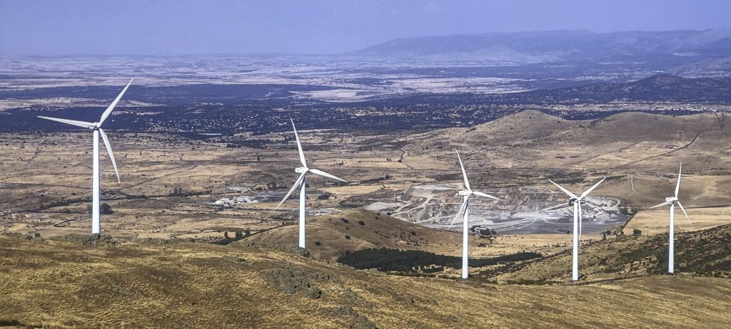
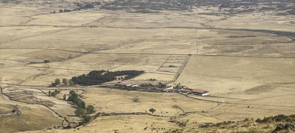
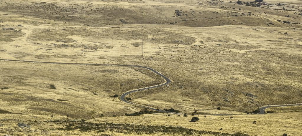
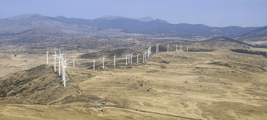
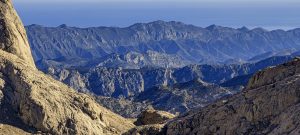
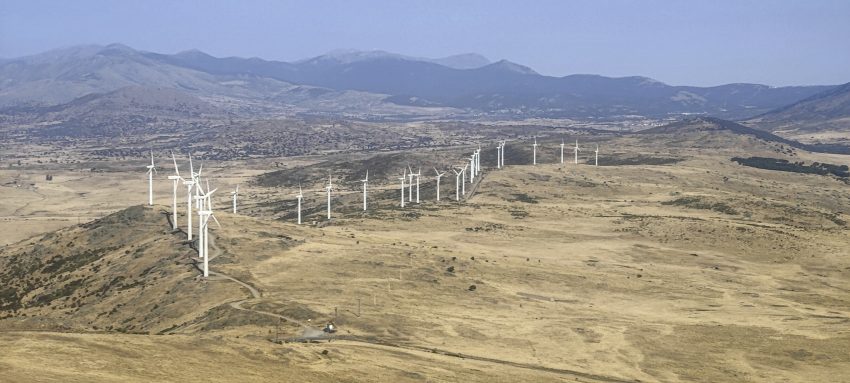
I already think that Le Serrota was the first and the last mountain of the day. I was wrong. As I drive towards Madrid, I notice another pretty hill with windmills. If there are windmills, there will be a road. And so it was that I drove up. I could go almost to the top, but I want to go for a walk. Leaving car at 40.7155, -4.456055 and walking on an unpaved road. A hundred meters before the summit, I turn straight across the meadow. There is a pile of rocks on the top, and the views are not bad. I take the same path back. OK, now it’s really the last mountain of the trip. Dinner with Rockinstraw and early flight home tomorrow.

Windmills at the summit
The whole ridge is dedicated to windmills
Triangulation point behind a fence
A concrete triangulation pillar marks the summit
Don Quixote and Sancho would be excited
Farm
Road
Windmills with remote mountains

Cruz de Hierro 1662 m altitude
361 m prominence
33.32 km isolation
Ranges Iberian Peninsula - Castile Ranges
Countries/regions Spain - Castilla y León
Distance 0.80 km up 0.80 km down
Elevation 89 m gain 89 m loss
Time
0h10 up
0h05 other
0h10 down
0h25 total
Trailhead 1573 m altitude 40.7155000, -4.4560556
Route

I parked my car north of the summit and walked an unpaved road. The last few tenths of a metre up the grassy slope to the summit and the same path back

Difficulties

The road close to the end is bumpy but passable

Links GPX trail
  • Iberian Peninsula 2022
  • « La Serrota

Mountain Ranges

Anatolia
Taurus Mountains
Western Anatolia
Andes
Puna de Atacama
Atlas Mountains
High Atlas
Northwestern Atlas
Central America Ranges
Costa Rica-Panama Ranges
Central Central America
Eastern Europe Ranges
Southeast Baltic Plains
Iberian Peninsula
Cordillera Cantabrica
Castile Ranges
Portugal-Galicia
Pyrenees
Malay Archipelago
Java
Nusa Tengarra
Sulawesi
Sumatra
Northwest Europe
Great Britain
North France-West Rhine Area
Southeast South America
Pampas
Sierras de Cordoba
West Africa Mountains
Bight of Benin
Cameroon Mountains

Countries / regions

Algeria
Ain Guezzam
Ain Salah
Aïn Témouchent
El Bayadh
Ghardaïa
Oran
Ouargla
Saïda
Sidi Bel Abbès
Tamanrasset
Argentina
Catamarca
Ciudad Autónoma de Buenos Aires
Córdoba
Jujuy
Salta
Tucumán
Belgium
Brussels Capital Region
Flemish Region
Cameroon
Southwest
Costa Rica
Alajuela
Cartago
Guanacaste
Heredia
Limón
San José
Czechia
Prague
Denmark
Greenland
France
Hauts-de-France
Germany
Berlin
Niedersachsen
Indonesia
Bali
Jambi
Jawa Tengah
Jawa Timur
Nusa Tenggara Barat
Sulawesi Tengah
Sulawesi Utara
Sumatera Barat
Lithuania
Vilnius County
Morocco
Béni Mellal-Khénifra
Drâa-Tafilalet
Fez-Meknes
Marrakesh-Safi
Souss-Massa
Tangier-Tetouan-Al Hoceima
Netherlands
Gelderland
Noord-Holland
Zeeland
Nicaragua
Chinandega
Managua
Masaya
Rivas
Poland
Greater Poland Voivodeship
Masovian Voivodeship
Portugal
Castelo Branco
Leiria
Lisbon
Santarém
São Tomé and Príncipe
São Tomé Province
Spain
Aragón
Asturias
Castilla-La Mancha
Castilla y León
Switzerland
Zürich
Turkey
Antalya
Isparta
Muğla
United Kingdom
England
Scotland
United States
Delaware
Florida
Maryland
New Jersey
New York
South Carolina
Pennsylvania

TRIPS

2023
West Africa II 2023
Iberian Peninsula 2023
West Africa 2023
Central America 2023
2022
Andes 2022
Northwest Europe 2022
Malay Archipelago III 2022
Malay Archipelago II 2022
Anatolia Mountains 2022
Iberian Peninsula 2022
Atlas Mountains 2022
North France-West Rhine Area 2022

archaeology (3) climb (72) food (2) hike (71) p30 (6) p100 (9) p300 (8) p600 (13) p1000 (5) p1500 (34) ribu (4) sight (35) summary (11) ultra (34)

843 km walked, 65 330 m climbed

©2023 p600.org | WordPress Theme by Superbthemes.com