Skip to content
Menu
p600.org
  • home
  • map
  • trips
  • about
p600.org

Torrecerredo

hike | 2022-09-10

This peak is included in Core Europe’s 50 Most Prominent Peaks list, the World Peaks with 300 km of Isolation list, the Spain Autonomous Community High Points list (two), and the Iberian Top 100 by Prominence list. It has so many reasons to be climbed, and the most important reason is its beautiful scenery. Torrecerredo would be the final ultrapeak in our few weeks of peakbagging adventure.

  • Day 1. Begin at parking at 43.23279, -4.77879 at 1097m, and climb for 2h30 to the hut at 1659m.
  • Day 2. A 4h30 ascent to the 2649m summit, a 4h00 descent to the hut, and another 1h40 descent to the car park
An initially gradual path rises through beautiful meadows
Surrounding mountains

I didn’t plan on hiring a guide because I think it is not necessary for this hike. However, John wanted to increase our chances of success, so we hired an experienced mountain guide. At the end, it was nice to chat with a local guy and learn about local events. Another personal belief I share is that this is a very nice day hike; there is little reason to spend the night in the overpriced hut. The only excuse is weather conditions, in case one wants to reach the summit in time for sunrise.

The park has many paths in all directions
Local farms
The spectacular gorge can be seen a little further on. Canal de Balcosín ??
Views along the way

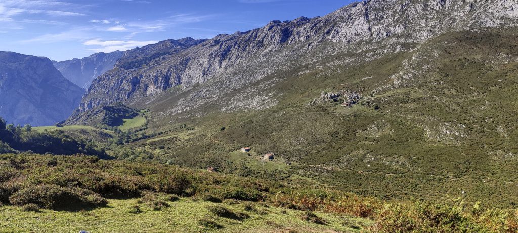
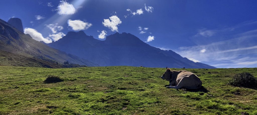
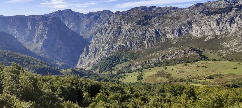
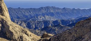
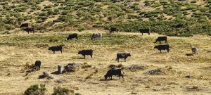
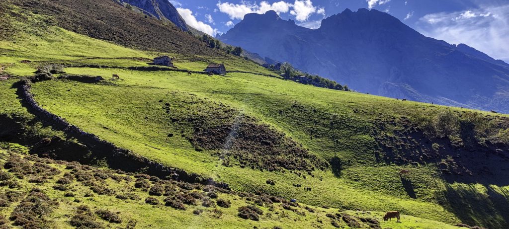
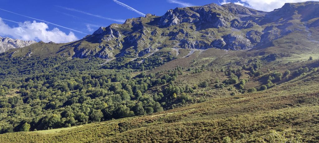
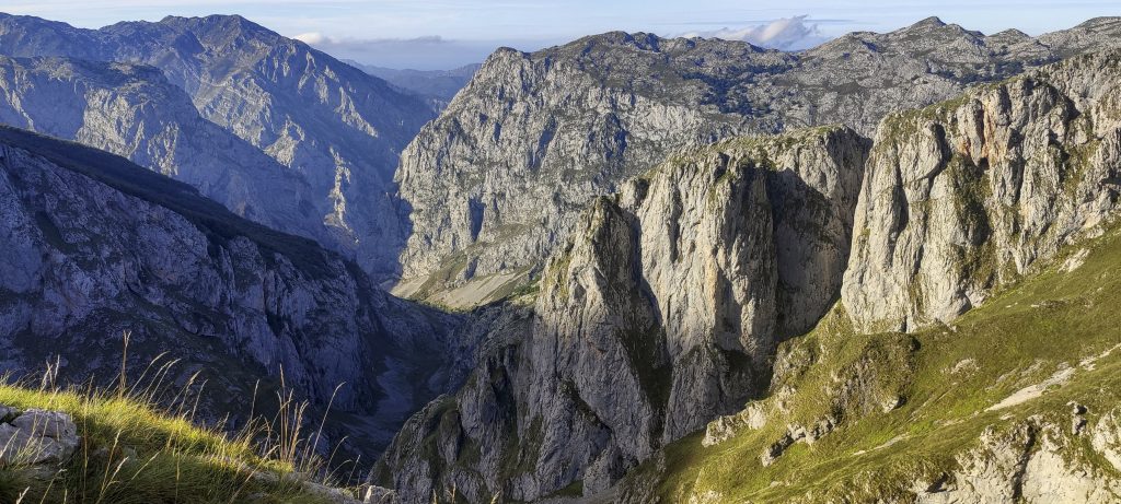
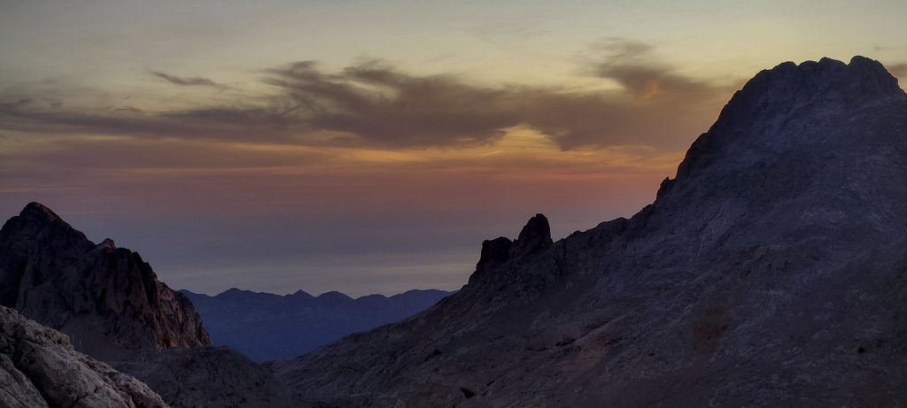
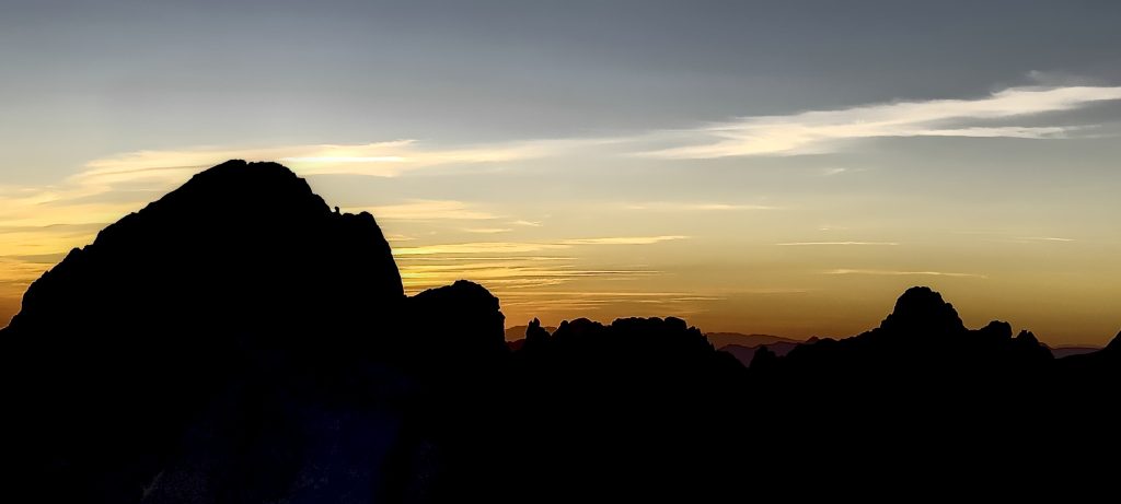
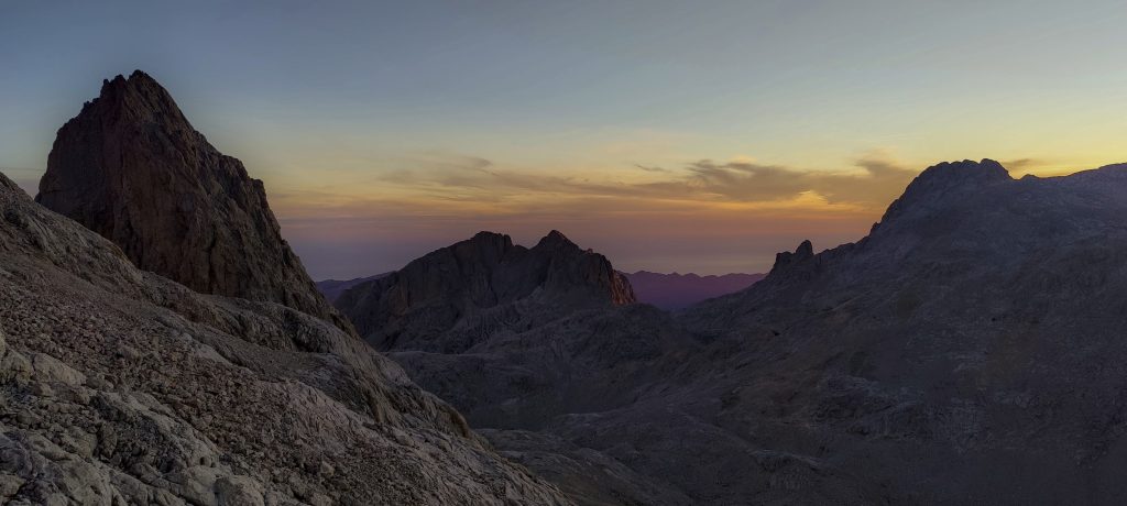
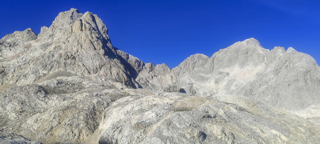
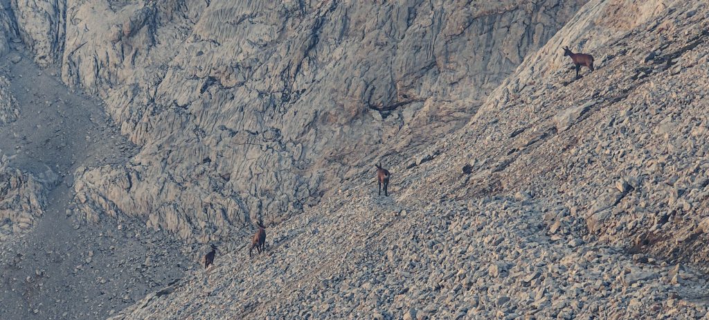
We arrived late in the afternoon, and almost all the parking spaces were occupied, but we were lucky and found one free lot. We start walking along the pasture through the valleys and slopes towards the hut. Spectacular views. 

First glimpse to Naranjo de Bulnes / Picu Urriellu
Views on the way to hut
A rock as high as an aeroplane’s flight

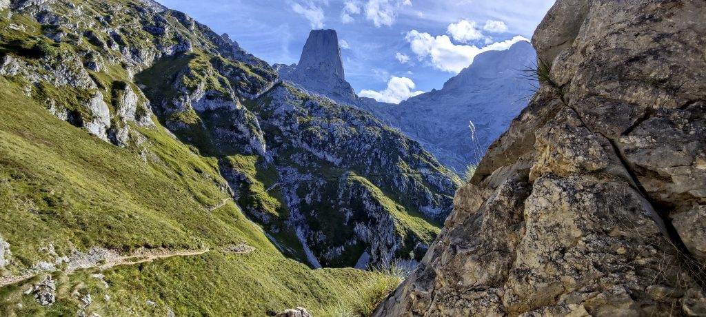
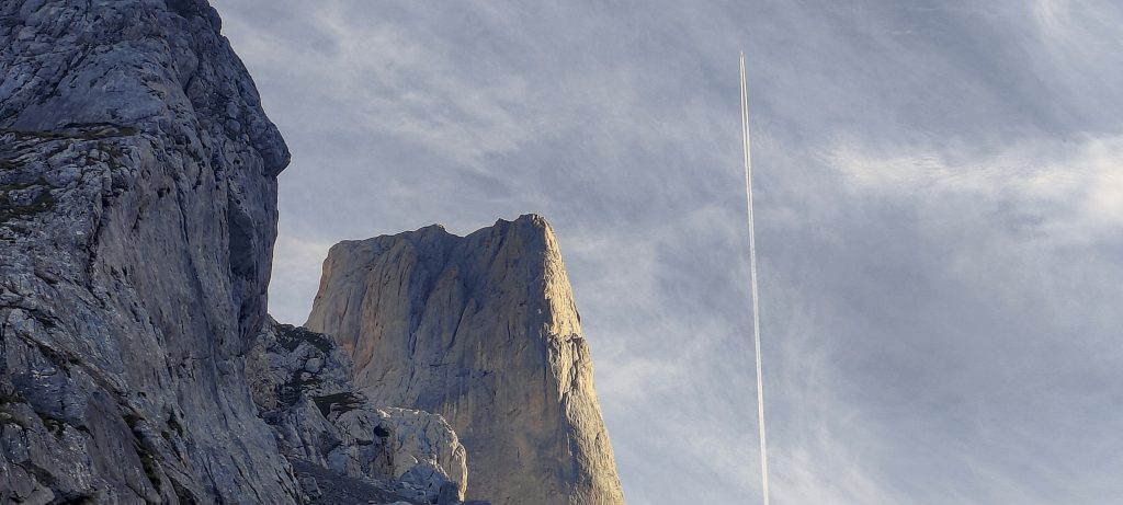
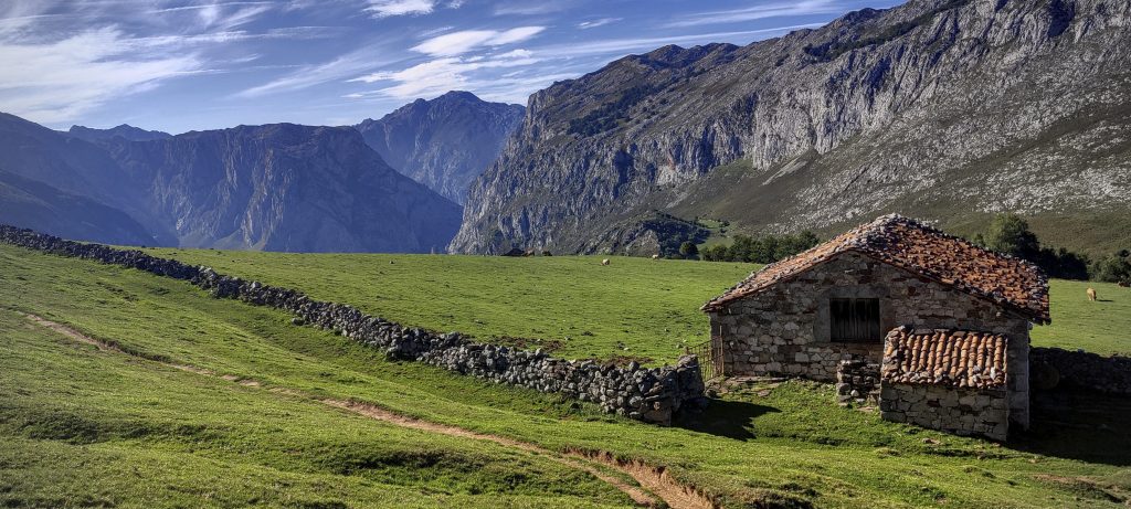
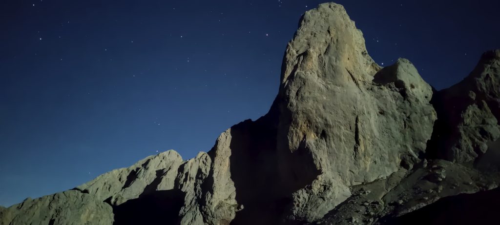
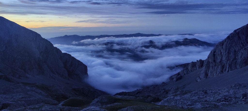
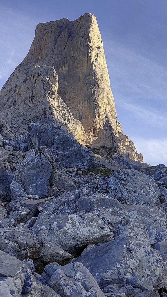
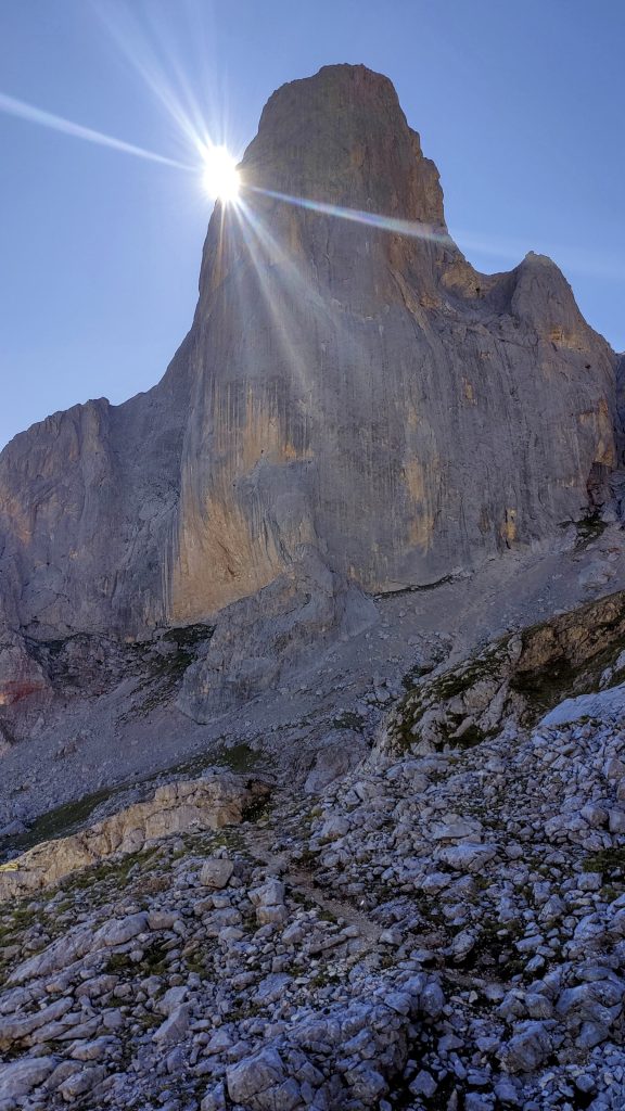
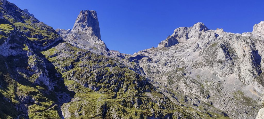
Urriellu Refuge is located at the base of the impressive Naranjo de Bulnes limestone peak, also known as Picu Urriellu in Asturian. Many people, mostly rock climbers, came to climb in Naranjo de Bulnes. Despite the little chaos, we were able to locate our guide and plan for tomorrow. After dinner, I walk a few hundred metres to the E direction, where the internet is available, near a large stone. Slow but it works.

A morning view of Torrecerredo’s final slope
Moonlit Naranjo de Bulnes / Picu Urriellu
You didn’t guess… Not the sun, the moon
First morning light
Evening clouds
Shining morning
The sun rises, and the contours of the surrounding mountains slowly become clearer
Haha, did you recognise it?

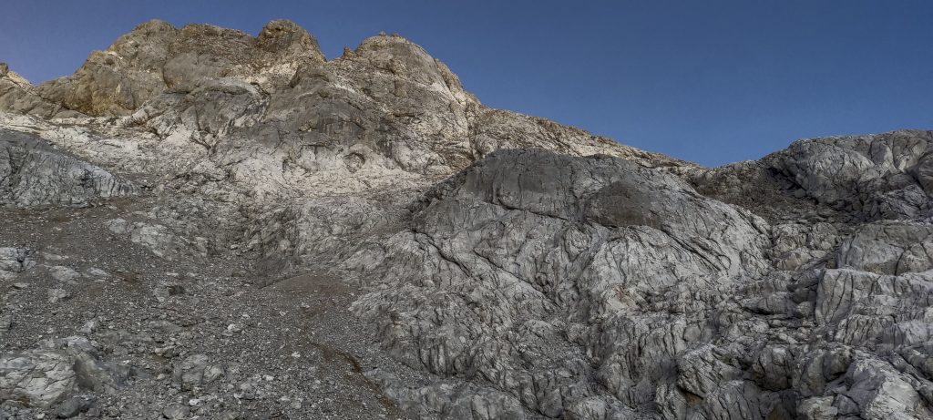
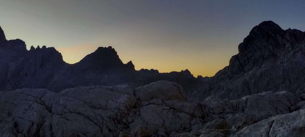
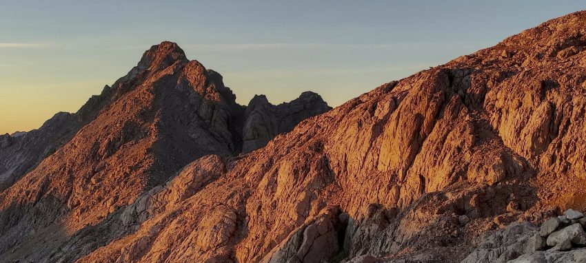
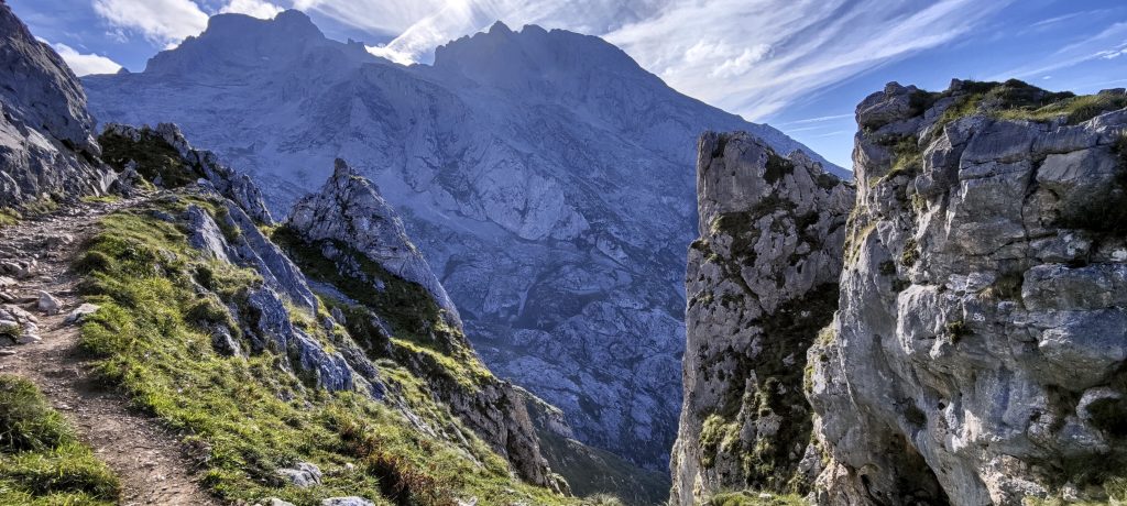
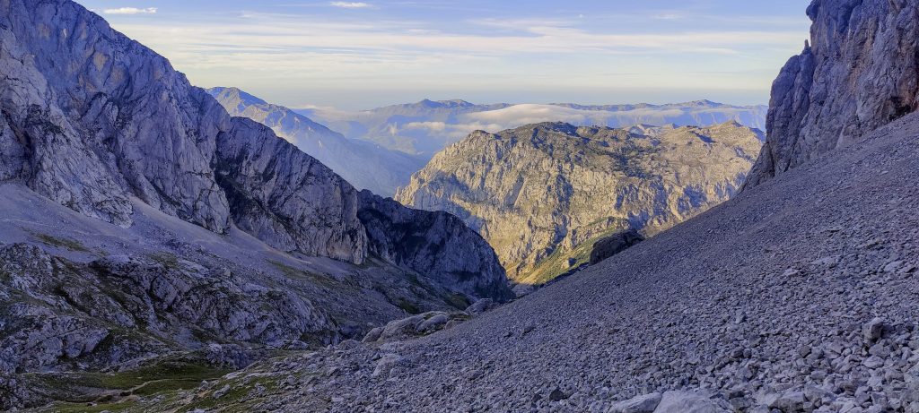
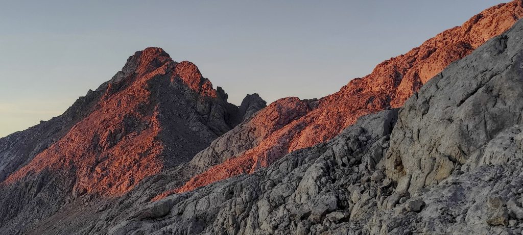
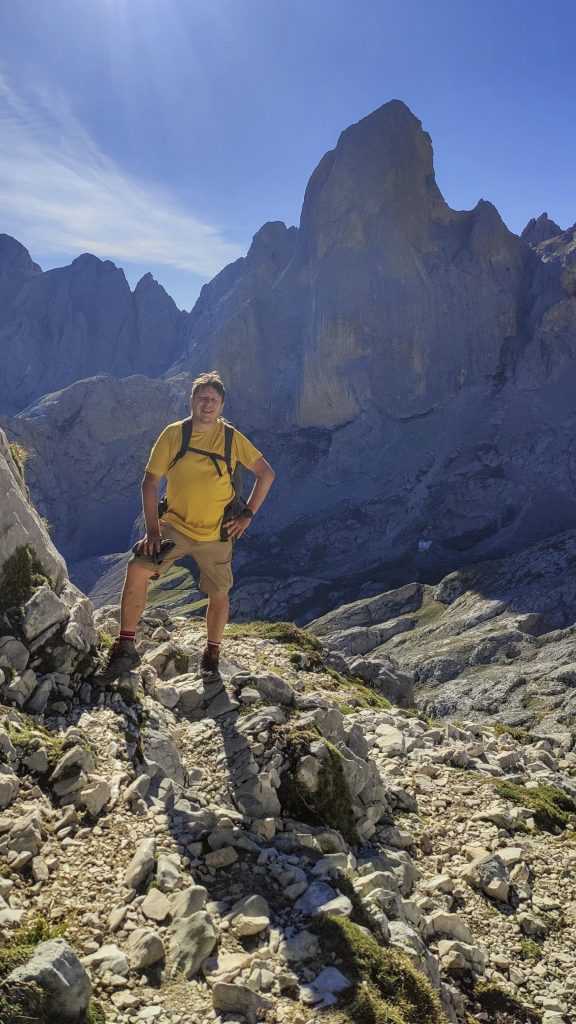
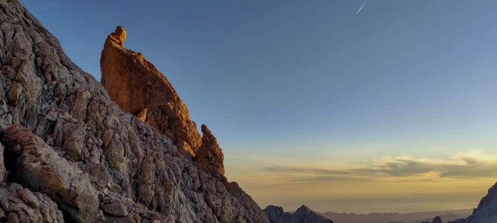
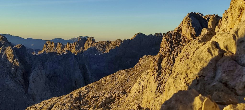
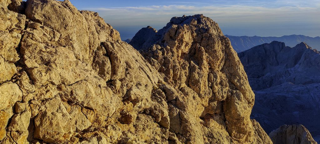
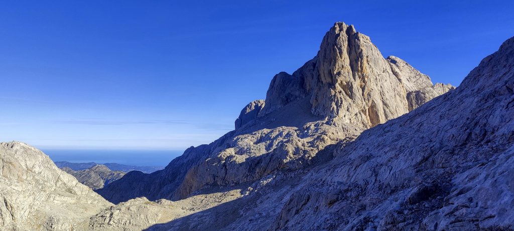
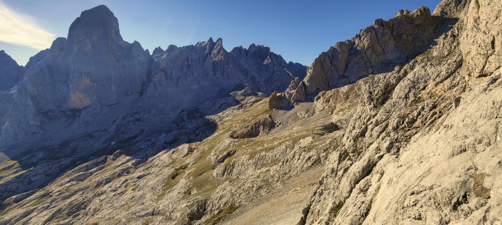
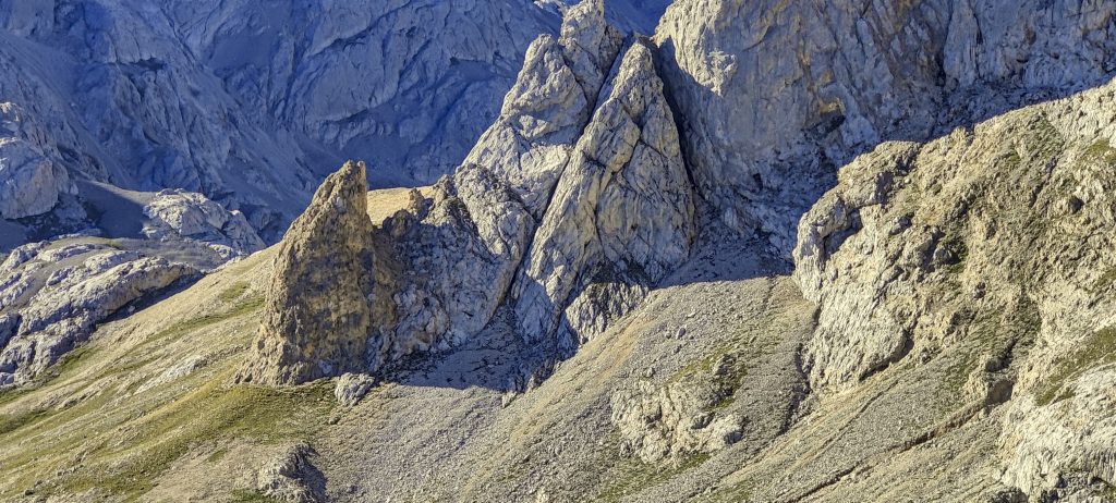
At 5:00 am, we have a quick breakfast and move towards the peak. The fairly steep path up the slope is followed by a small descent, with a few places protected. We reach the last section; the trail is steep with lots of loose stones. But if you follow the cairned trail, it is not difficult to climb.

The morning light is getting brighter
The sun finally shines on our ridge
Naranjo de Bulnes / Picu Urriellu up close
Naranjo de Bulnes / Picu Urriellu descending from Torrecerredo
John (left) and me (right) at the summit
Me, Picu Urriellu in the background and Hutt at the bottom

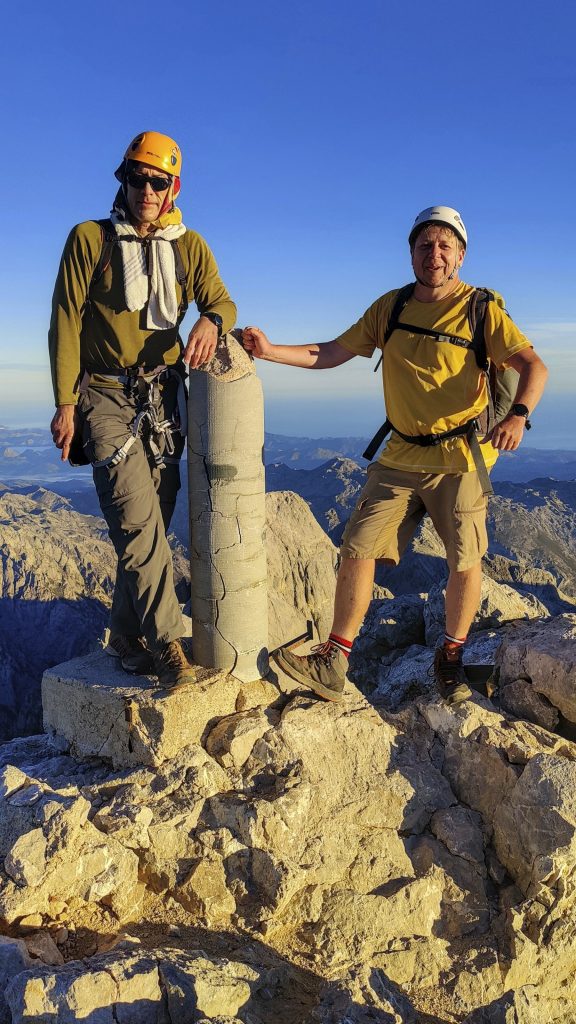
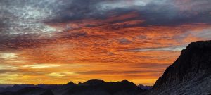
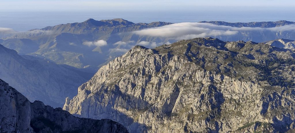
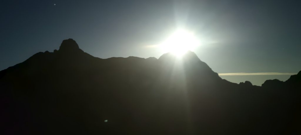
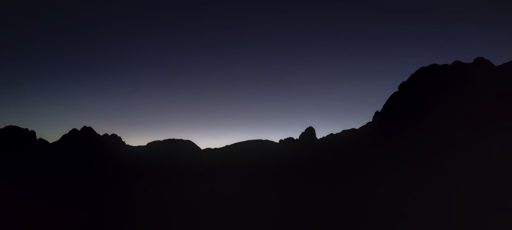
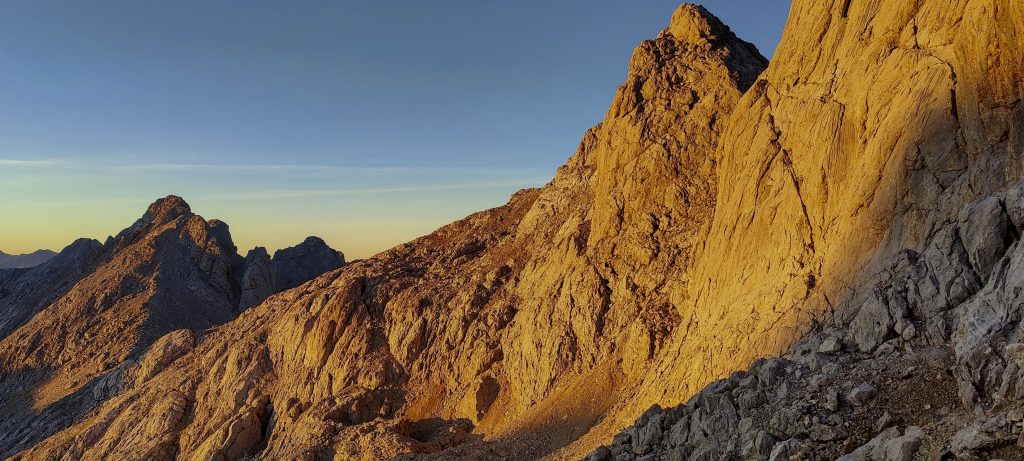
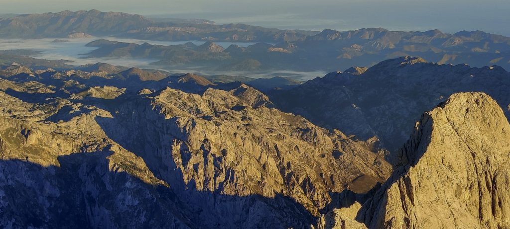
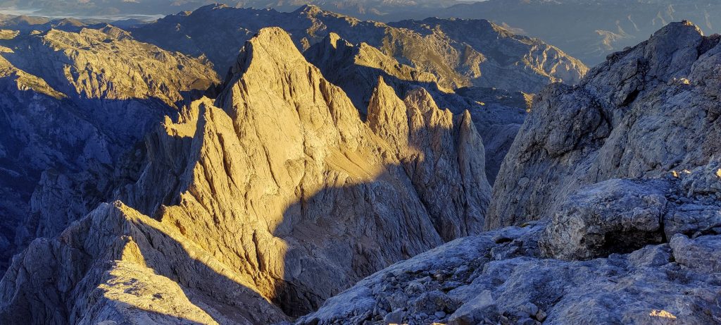
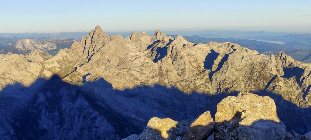
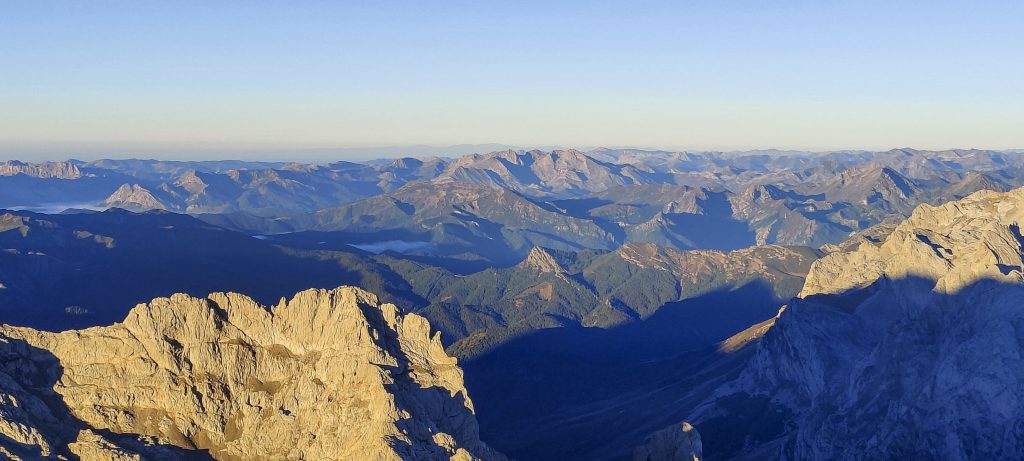
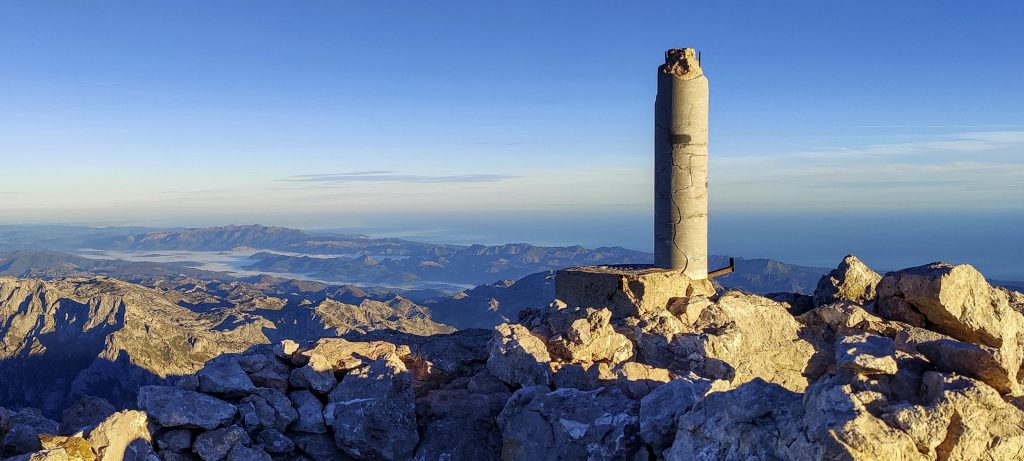
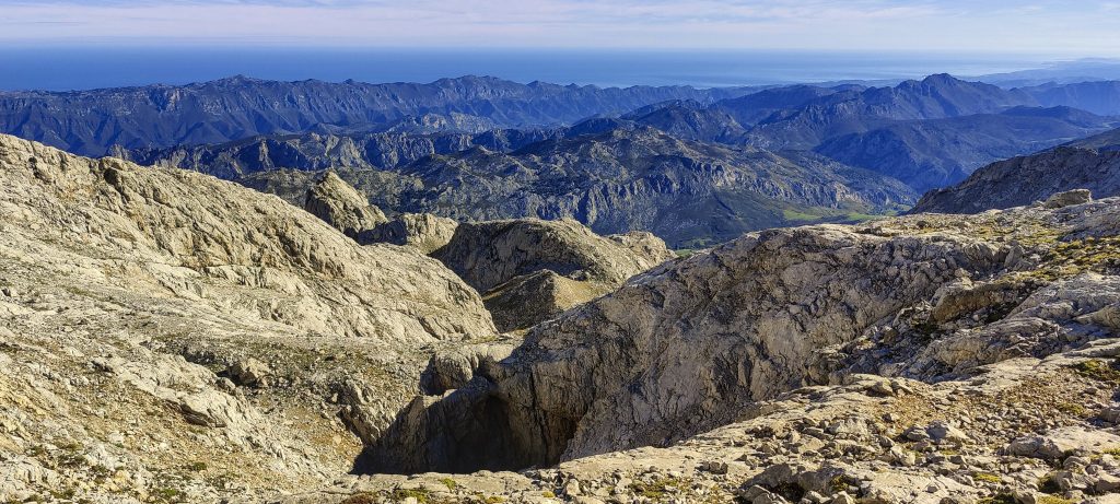
Such beautiful landscapes illuminated by the rising sun I didn’t notice how we got to the top. The summit is marked with a triangulation pillar. We spend fifteen minutes or more at the top, then return the same way, arriving at the refuge before noon.

There is lots of colour in the morning, and the slope is not far from the top
Rock formation close to the top
Surrounding ridges begin to emerge
A few metres from the summit
Clear weather, excellent visibility
Pico de los Cabrones 2558m ??
Surrounding peaks
View from the summit
A little cracked summit triangulation pillar
A look back after descending several hundred metres
Views on descent
Atlantic Ocean beyond the remote ridge
Sharing the trail with local goats
Rock formations
Nice ridges
Most people come here to climb the Naranjo de Bulnes / Picu Urriellu

An hour and a half later, we are back in the car. For me, this was the last unclimbed ultrapeak on Spain’s mainland. This is also the last planned ultrapeak on this trip. We climbed all eight planned peaks—five in Morocco and three in Spain. We’re all set to fly home, but we have an extra day… I look at the peakbagger map, and everything is clear. There is only one unvisited P600 left near Madrid. The plan is that John would like to relax after a quite intensive trip, so I drive him to the airport hotel and return a hundred kilometers, just to be closer to La Serrota tomorrow morning.


Torrecerredo2649 m altitude
1936 m prominence
346.52 km isolation
RangesIberian Peninsula - Cordillera Cantabrica
Countries/regionsSpain - Asturias</br>Spain - Castilla y León
Distance11.60 km up11.40 km down
Elevation1499 m gain1499 m loss
Time
7h00 up
9h15 other
4h40 down
20h55 total
Trailhead1149 m altitude43.2328050, -4.7785990
Route<p style="color: #252525;">We began at the small parking lot to the northeast of the summit. We walked on pastures, then traversed a ridge in the SW direction. wide and well-visible trail all the way to the hut. Ascending steep slopes to the west from the hut, then scrambling to the southwest to reach the summit The last few metres were exposed. We followed the same path on the descent.</p>
LinksGPX trail
  • Iberian Peninsula 2022
  • « Pico de Aneto
  • La Serrota »

Mountain Ranges

Anatolia
Central Anatolia
Pontic Mountains
Southeast Anatolia
Taurus Mountains
Western Anatolia
Andes
Puna de Atacama
Atlas Mountains
High Atlas
Northwestern Atlas
Central America Ranges
Costa Rica-Panama Ranges
Central Central America
East China
Taiwan
Eastern Europe Ranges
Southeast Baltic Plains
Iberian Peninsula
Cordillera Cantabrica
Castile Ranges
Portugal-Galicia
Pyrenees
Intermountain West
Great Basin Ranges
Korea-Amur Area
Taebaek Sanmae
Malay Archipelago
Java
Nusa Tengarra
Sulawesi
Sumatra
Mid-Atlantic Islands
North Atlantic Islands
Mongolia Ranges
Altai
Gobi Desert Ranges
Hangay Mountains
Northwest Europe
Great Britain
North France-West Rhine Area
Pacific Ranges
Cascade Range
Northwest U.S. Coast Ranges
Sierra Nevada
Central and Southern California Ranges
Philippines
Central Philippines
Luzon
Mindanao
Southeast Asia
Malay Peninsula
Southeast South America
Pampas
Sierras de Cordoba
Southern Africa
Malawi Highlands
West Africa Mountains
Bight of Benin
Cameroon Mountains
Guinea Highlands

Countries / regions

Algeria
Ain Guezzam
Ain Salah
Aïn Témouchent
El Bayadh
Ghardaïa
Oran
Ouargla
Saïda
Sidi Bel Abbès
Tamanrasset
Argentina
Catamarca
Ciudad Autónoma de Buenos Aires
Córdoba
Jujuy
Salta
Tucumán
Belgium
Brussels Capital Region
Flemish Region
Cameroon
Southwest
China
Taiwan
Costa Rica
Alajuela
Cartago
Guanacaste
Heredia
Limón
San José
Czechia
Prague
Denmark
Greenland
France
Hauts-de-France
Occitania
Germany
Berlin
Niedersachsen
Indonesia
Bali
Jambi
Jawa Tengah
Jawa Timur
Nusa Tenggara Barat
Sulawesi Tengah
Sulawesi Utara
Sumatera Barat
Lithuania
Vilnius County
Mongolia
Bayankhongor
Govi-Altai
Khovd
Omnogovi
Ovorkhangai
Ulan Bator
Zavkhan
Morocco
Béni Mellal-Khénifra
Drâa-Tafilalet
Fez-Meknes
Marrakesh-Safi
Souss-Massa
Tangier-Tetouan-Al Hoceima
Mozambique
Zambezia
Netherlands
Gelderland
Noord-Holland
Zeeland
Nicaragua
Chinandega
Managua
Masaya
Rivas
Philippines
Bicol Region (V)
Cagayan Valley (II)
Calabarzon (IV-A)
Central Luzon (III)
Cordillera Administrative Region
Davao Region
Metro Manila
Soccsksargen (XII)
Western Visayas (VI)
Poland
Greater Poland Voivodeship
Masovian Voivodeship
Portugal
Castelo Branco
Leiria
Lisbon
Madeira
Santarém
Qatar
Ad-Dawhah
São Tomé and Príncipe
São Tomé Province
Sierra Leone
Northern Province
Western Area
Singapore
South Korea
Gyeongsangnam-do
Seoul
Spain
Aragón
Asturias
Castilla-La Mancha
Castilla y León
Catalonia
Islas Canarias
Switzerland
Zürich
Turkey
Antalya
Bitlis
Erzincan
Hakkâri
Igdir
Isparta
Kahraman Maras
Muğla
United Kingdom
England
Scotland
United States
California
Delaware
Florida
Maryland
Nevada
New Jersey
New York
Pennsylvania
South Carolina
Utah

TRIPS

2024
Southern Africa 2024
Mid-Atlantic Islands 2024
North America 2024
Anatolia 2024
Korea-Amur Area 2024
East China 2024
2023
Mongolia Ranges 2023
Philippines 2023
West Africa III 2023
West Africa II 2023
Iberian Peninsula 2023
West Africa 2023
Central America 2023
2022
Andes 2022
Northwest Europe 2022
Malay Archipelago III 2022
Malay Archipelago II 2022
Anatolia Mountains 2022
Iberian Peninsula 2022
Atlas Mountains 2022
North France-West Rhine Area 2022

archaeology (3) climb (157) food (2) hike (155) p30 (17) p50 (4) p100 (24) p300 (12) p600 (17) p1000 (11) p1500 (76) ribu (10) sight (46) summary (16) trig (44) ultra (76)

1 591 km walked, 121 298 m climbed

©2025 p600.org | WordPress Theme by Superbthemes.com