Skip to content
Menu
p600.org
  • home
  • map
  • trips
  • about
p600.org

Povoínha

hike | 2023-02-06
970 m altitude, 350 m prominence, - km isolation

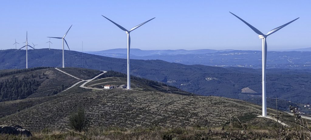
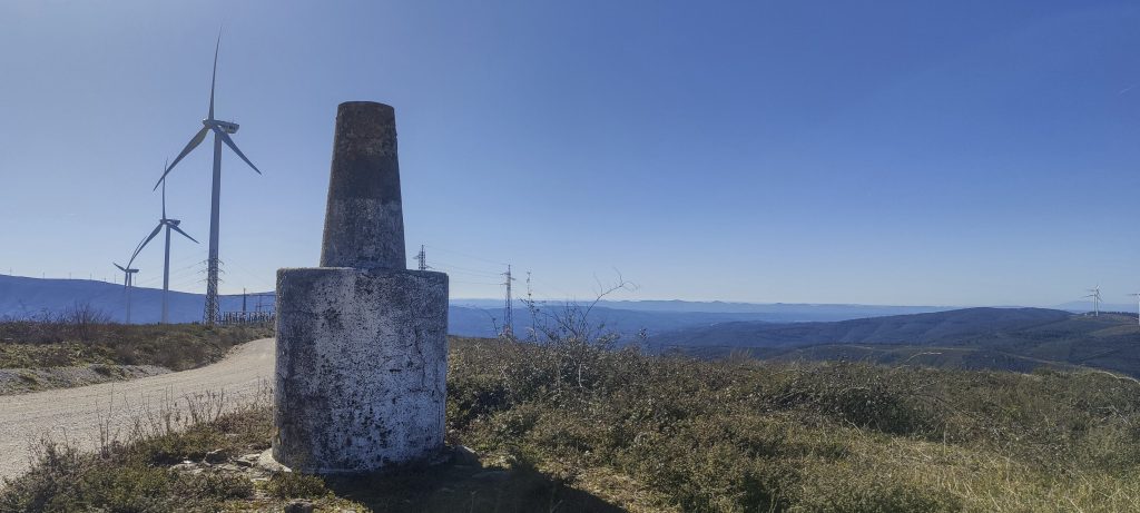
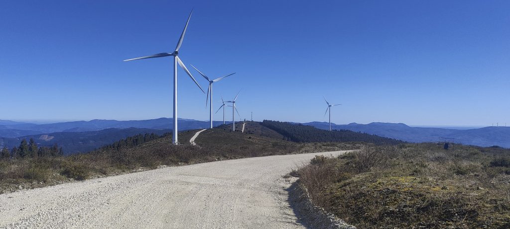
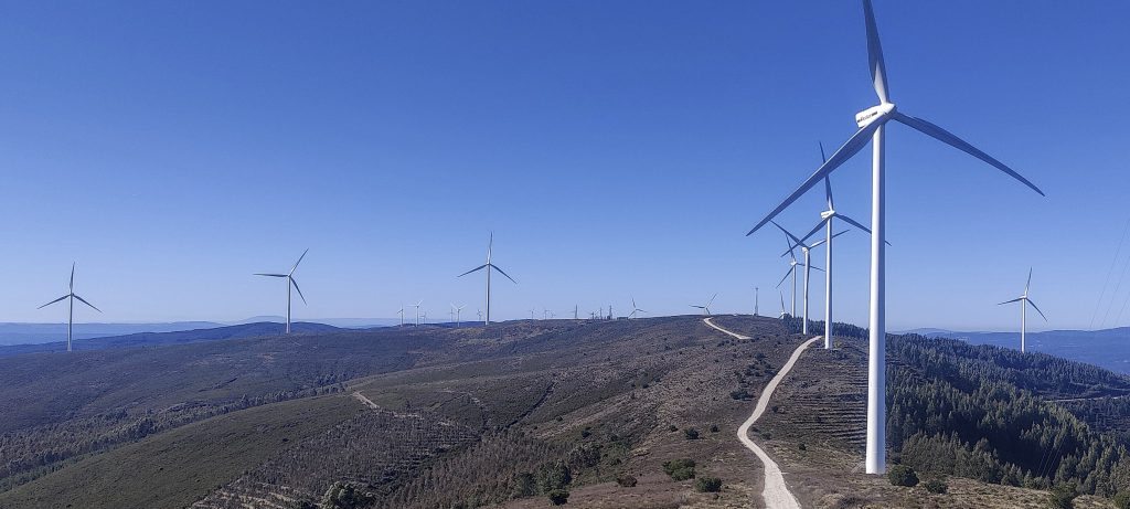
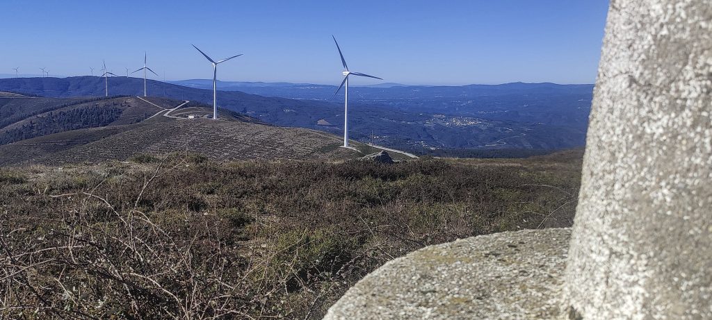
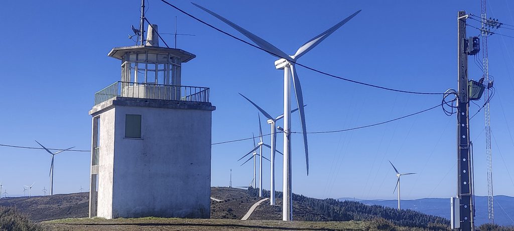
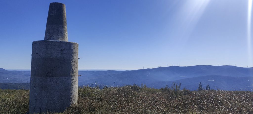
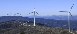
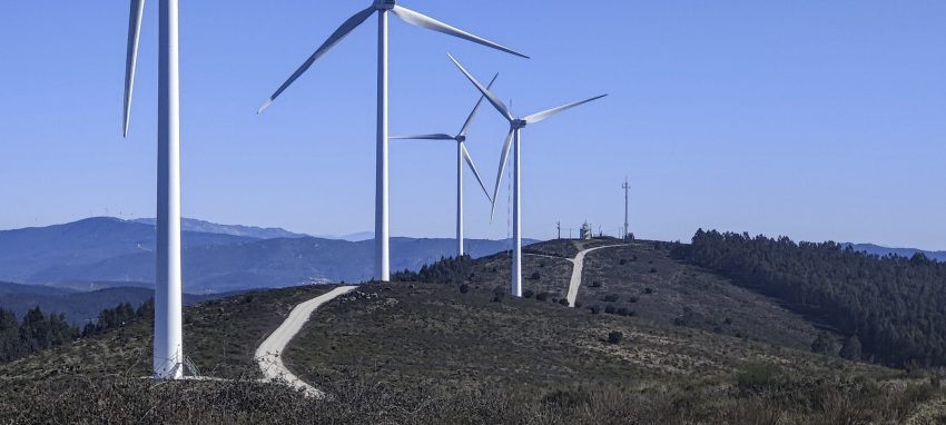
The good news about windmills is that one could almost always find the road. It might be private, closed or bumpy, but it will be a road. This time it was a good gravel road and soon we reached the top of Povoinha, which is surrounded by windmills and has a raised trig pillar. We stopped briefly to take some elevation readings and drove little over a kilometre to the east to a slightly lower peak, Mata de Álvaro, with an interesting lookout tower with a trig on the roof. It was already afternoon, but this wasn’t our last peak for the day; we planned to visit the peaks of Zibreiro and Cabeço Raínha before heading back to the airport.

Most of the ridges around here are covered with windmills
Trig pillar on the plinth
If it is a windmill, It will be a road
Windmill, windmill, windmill, must be pretty windy most of the time
Another trig pillar on the roof of the lookout tower
Looks like trig pillar on the plinth a quite typical in Portugal
Aivar village and Zêzere river

Povoinha 970 m altitude
350 m prominence
Ranges Iberian Peninsula - Portugal-Galicia
Countries/regions Leiria - Castelo Branco
Distance 0.60 km up 0.70 km down
Elevation 1 m gain 1 m loss
Time
0h05 up
0h03 other
0h05 down
0h13 total
Trailhead 969 m altitude 39.9408330, -7.9628880
Route

Wide gravel road all the way to the top

Links GPX trail
  • Iberian Peninsula 2023
  • « Alvaiázere
  • Zibreiro »

Mountain Ranges

Anatolia
Taurus Mountains
Western Anatolia
Andes
Puna de Atacama
Atlas Mountains
High Atlas
Northwestern Atlas
Central America Ranges
Costa Rica-Panama Ranges
Central Central America
Eastern Europe Ranges
Southeast Baltic Plains
Iberian Peninsula
Cordillera Cantabrica
Castile Ranges
Portugal-Galicia
Pyrenees
Malay Archipelago
Java
Nusa Tengarra
Sulawesi
Sumatra
Northwest Europe
Great Britain
North France-West Rhine Area
Southeast South America
Pampas
Sierras de Cordoba
West Africa Mountains
Bight of Benin
Cameroon Mountains

Countries / regions

Algeria
Ain Guezzam
Ain Salah
Aïn Témouchent
El Bayadh
Ghardaïa
Oran
Ouargla
Saïda
Sidi Bel Abbès
Tamanrasset
Argentina
Catamarca
Ciudad Autónoma de Buenos Aires
Córdoba
Jujuy
Salta
Tucumán
Belgium
Flemish Region
Brussels Capital Region
Cameroon
Southwest
Costa Rica
Alajuela
Cartago
Guanacaste
Heredia
Limón
San José
Czechia
Prague
Denmark
Greenland
France
Hauts-de-France
Germany
Berlin
Niedersachsen
Indonesia
Bali
Jambi
Jawa Tengah
Jawa Timur
Nusa Tenggara Barat
Sulawesi Tengah
Sulawesi Utara
Sumatera Barat
Lithuania
Vilnius County
Morocco
Béni Mellal-Khénifra
Drâa-Tafilalet
Fez-Meknes
Marrakesh-Safi
Souss-Massa
Tangier-Tetouan-Al Hoceima
Netherlands
Gelderland
Noord-Holland
Nicaragua
Chinandega
Managua
Masaya
Rivas
Poland
Greater Poland Voivodeship
Masovian Voivodeship
Portugal
Castelo Branco
Leiria
Lisbon
Santarém
São Tomé and Príncipe
São Tomé Province
Spain
Aragón
Asturias
Castilla-La Mancha
Castilla y León
Switzerland
Zürich
Turkey
Antalya
Isparta
Muğla
United Kingdom
England
Scotland
United States
Delaware
Florida
Georgia
Maryland
New Jersey
New York
North Carolina
South Carolina
Pennsylvania
Virginia

TRIPS

2023
West Africa 2023 II
Iberian Peninsula 2023
West Africa 2023
Central America 2023
2022
Andes 2022
Northwest Europe 2022
Malay Archipelago III 2022
Malay Archipelago II 2022
Anatolia Mountains 2022
Iberian Peninsula 2022
Atlas Mountains 2022

archaeology (3) climb (69) food (2) hike (68) p30 (3) p100 (9) p300 (8) p600 (13) p1000 (5) p1500 (34) ribu (4) sight (34) summary (11) ultra (34)

839 km walked, 65 247 m climbed

©2023 p600.org | WordPress Theme by Superbthemes.com