Skip to content
Menu
p600.org
  • home
  • map
  • trips
  • about
p600.org

Pico de Aneto

hike | 2022-09-08

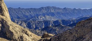
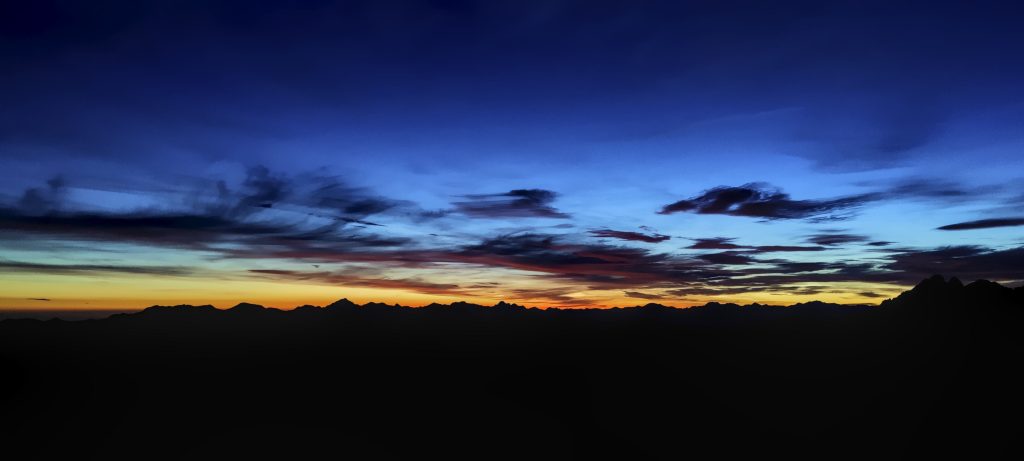
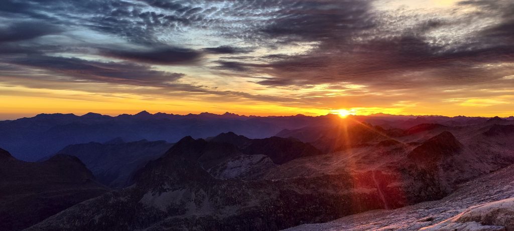
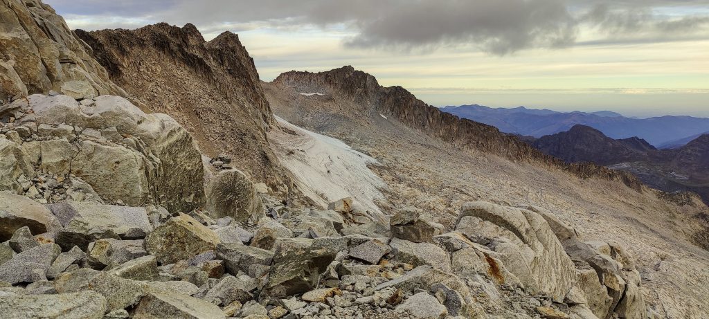
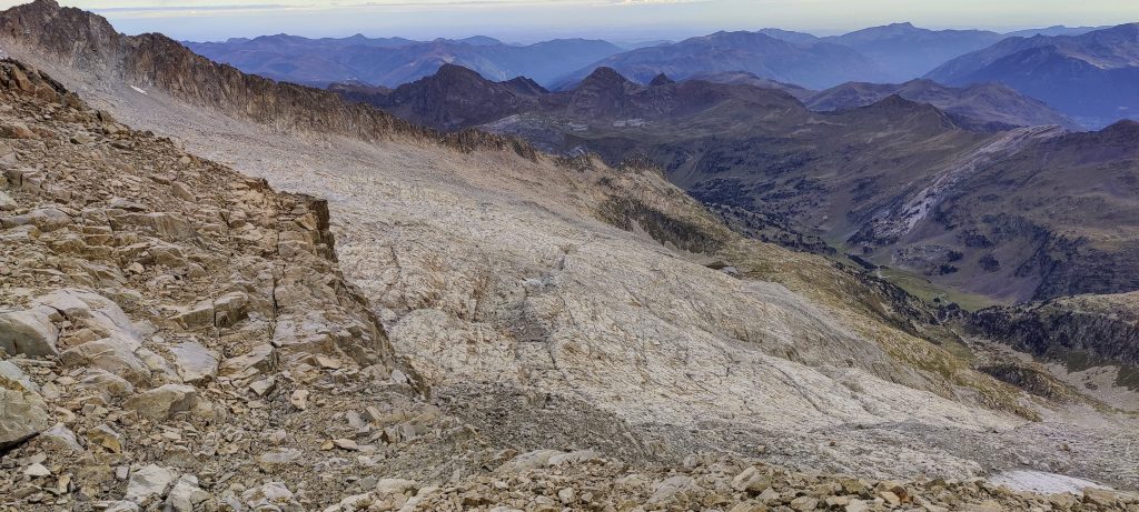
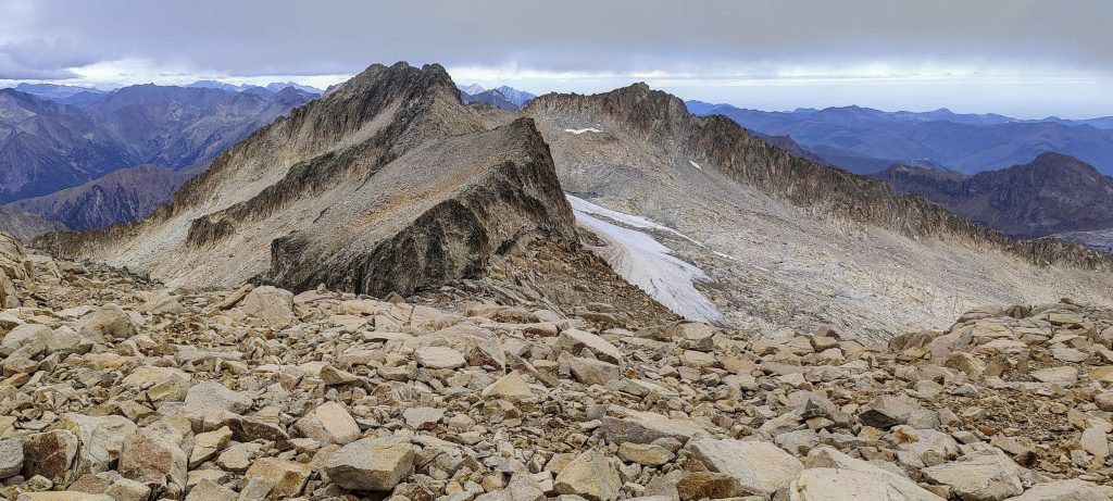
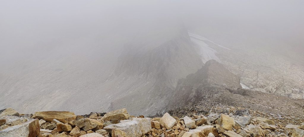
Top of the Pyrenees and Spain’s third-highest mountain, and also the birthplace of what were once the largest glaciers in the Pyrenees. Today, the glacier looked like a big patch of old snow in the summer. I was concerned about how we would avoid crevasses when we were planning the peak, but after watching a few recent videos, I calmed down. Driving from Pico Almanzor took some time, and we settled into a hotel at Benasque, close to the Pico de Aneto trailhead.

As usual, we started climbing before dawn

I hadn’t planned on hiring a guide, but John wanted to maximise the success factor, so in the end, we hired a guide. To tell the truth, the guide is not very necessary on this hike. But his assistance was of some use near the top, at the Paso de Mahoma, where several exposed steps have to be taken. Anyway, it was nice to chat with a local. Guy knows the trail well and understands the mountains. Also, he drove us closer than a bus would have (42.67809, 0.65053).

First rays
Pico de Aneto in the morning sun, with the glacier almost melted beneath it
The sky starts to turn red, orange, yellow, and blue

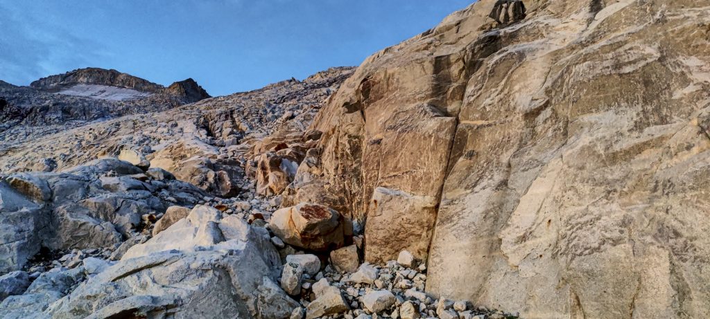
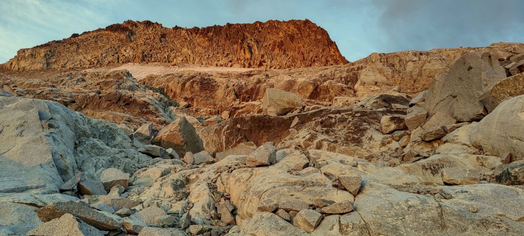
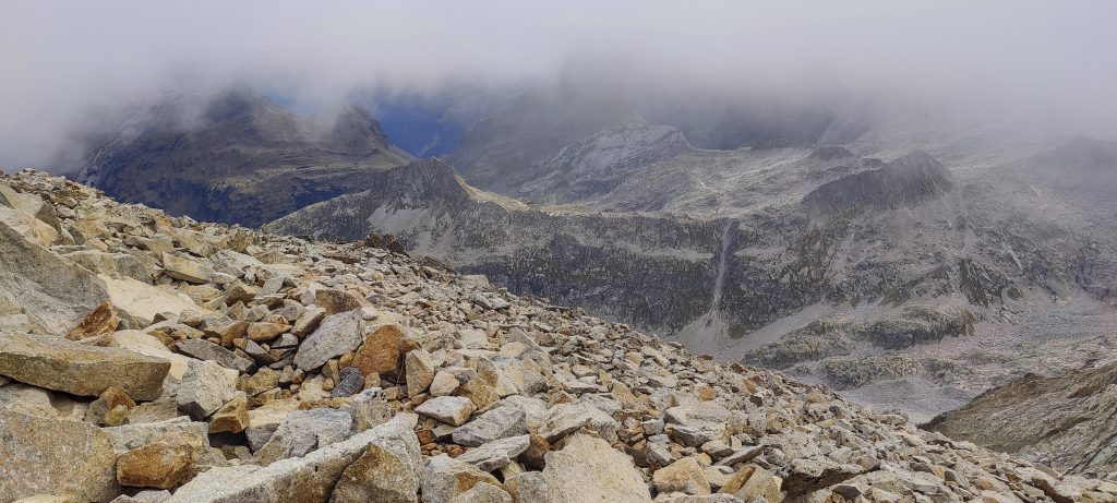
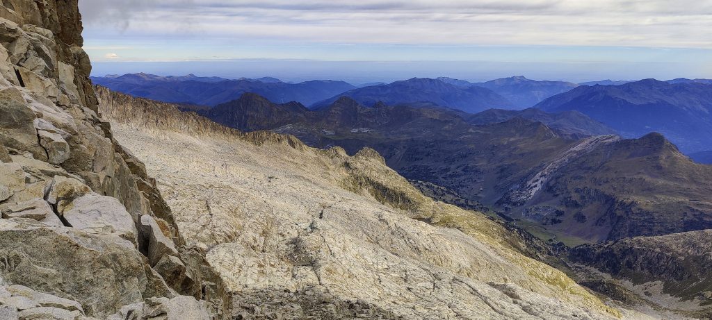
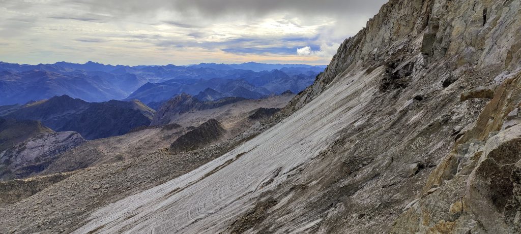
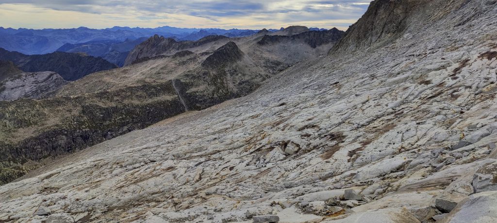
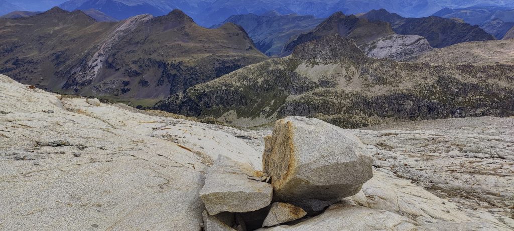
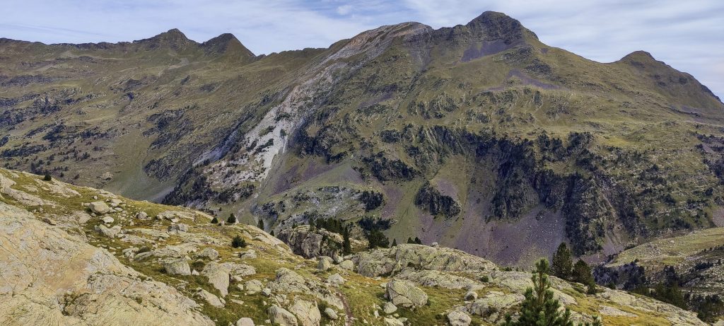
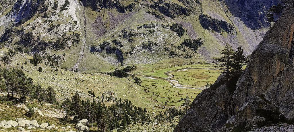
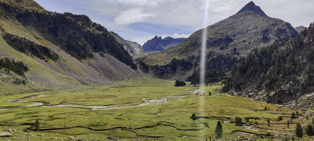
In the beginning, we walk through the meadows of the valley, then make a short climb to a cliff. not very high, maybe 50 meters. Then continue along the rocks carved by the glacier towards the summit. From time to time, cairns can be seen.

In the past, the trail passed through this glacier. But that was long ago
Views, not so far from the peak
Peak nearby
Paso de Mahoma

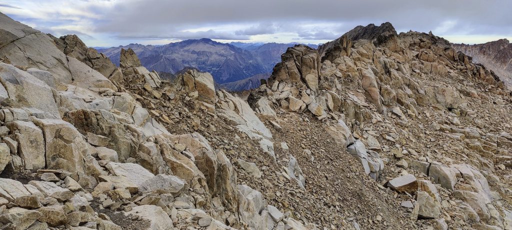
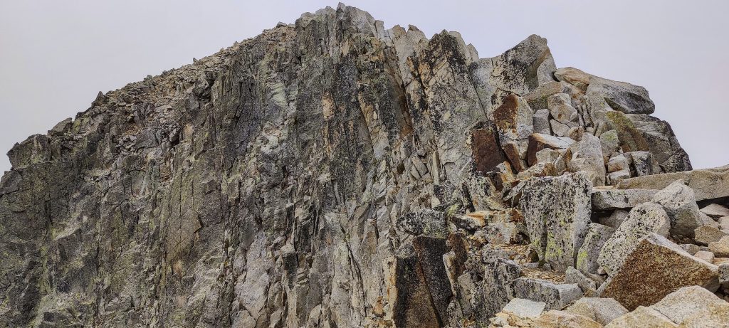
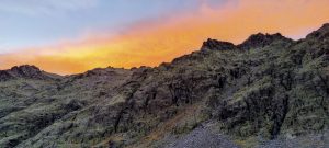
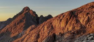
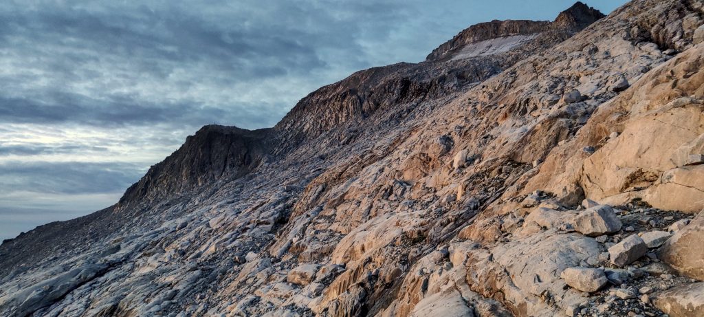
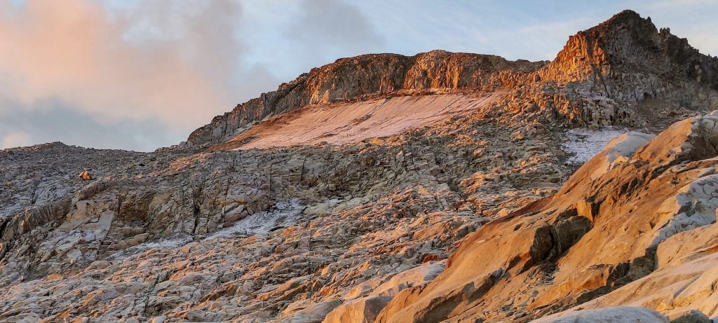
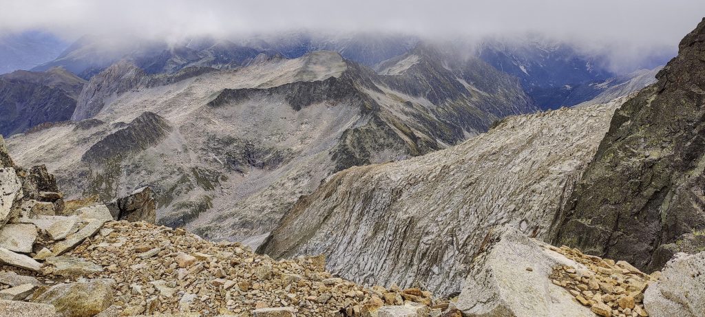
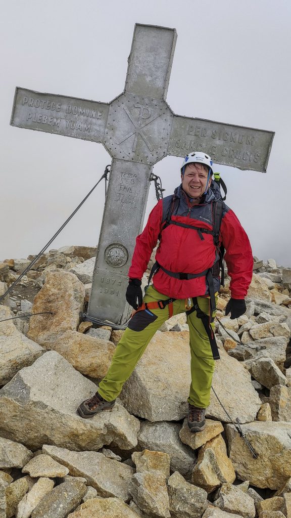
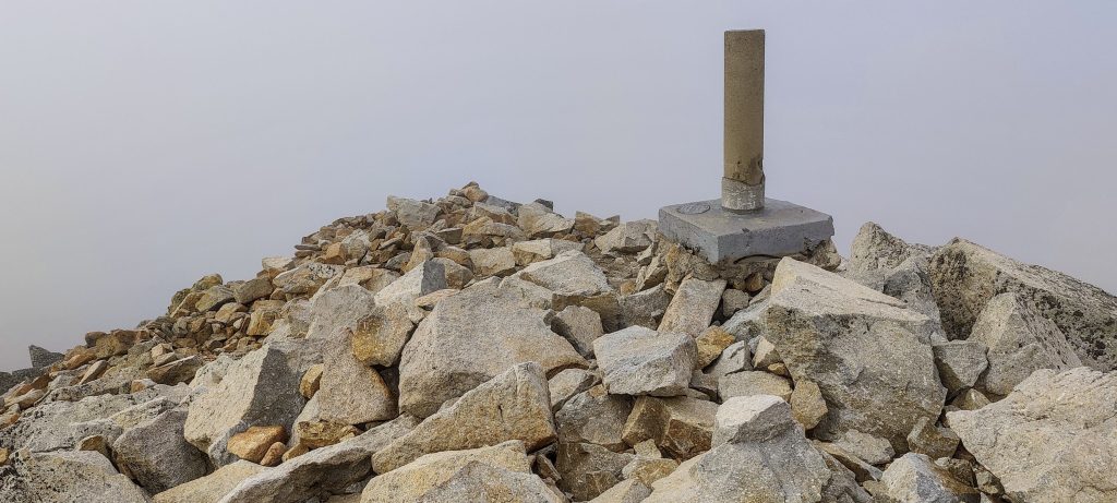
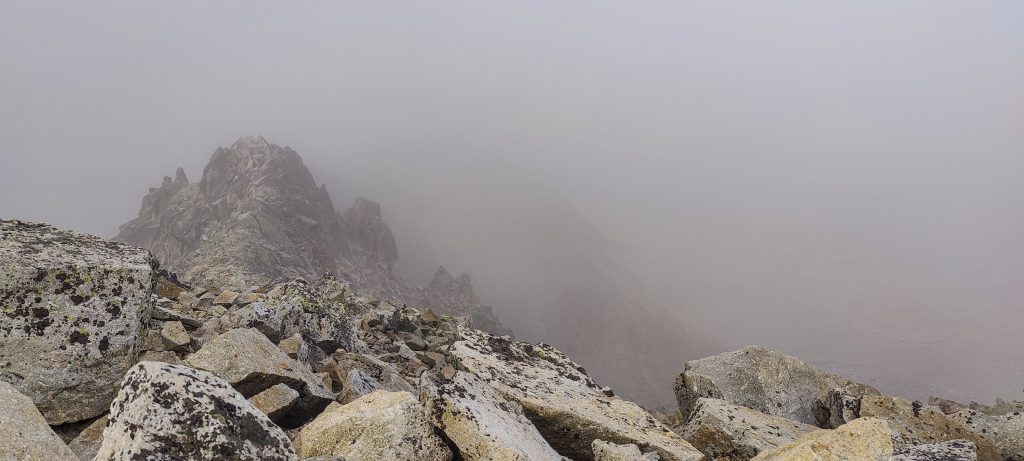
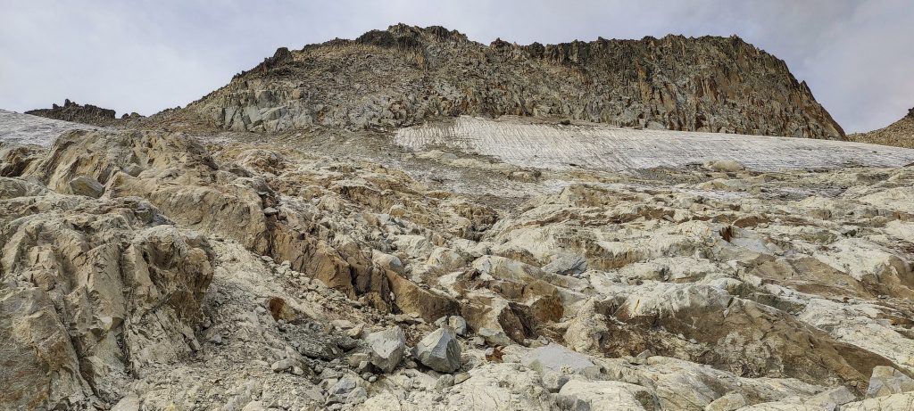
A bit below the peak, on the left side, are the remains of the glacier. The remains of the glacier are also on the right side. In the middle is a nice, rocky gap. We climb it through small cliffs to the upper plateau. The wind is picking up a bit, but nothing terrible. We reach the Paso de Mahoma, and a couple of minutes later, we are at the summit. Short break, we look around, take a photo, and then return down the same path we came. 

Views from the top
Summit Madonna
Me at the summit
Triangulation pillar marks the summit
Cloudy
Some clouds are there, but sometimes they blow away and you can see the surrounding valleys
Views on descent
There used to be a big glacier
Looking back on the way down
Side views
Views on the way down

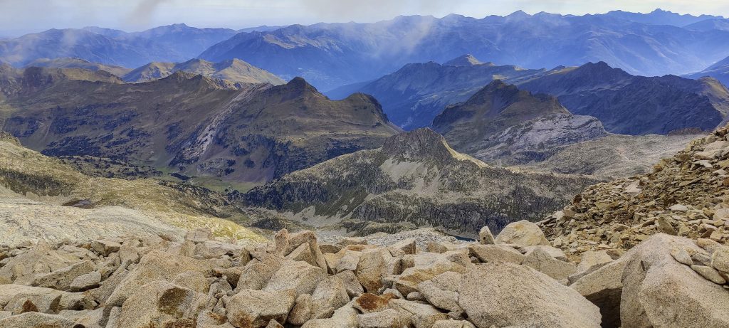
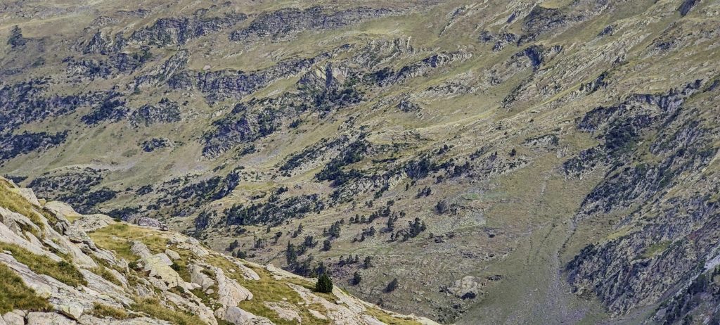
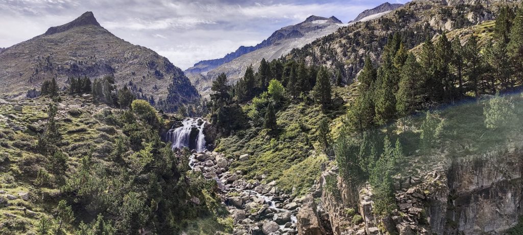
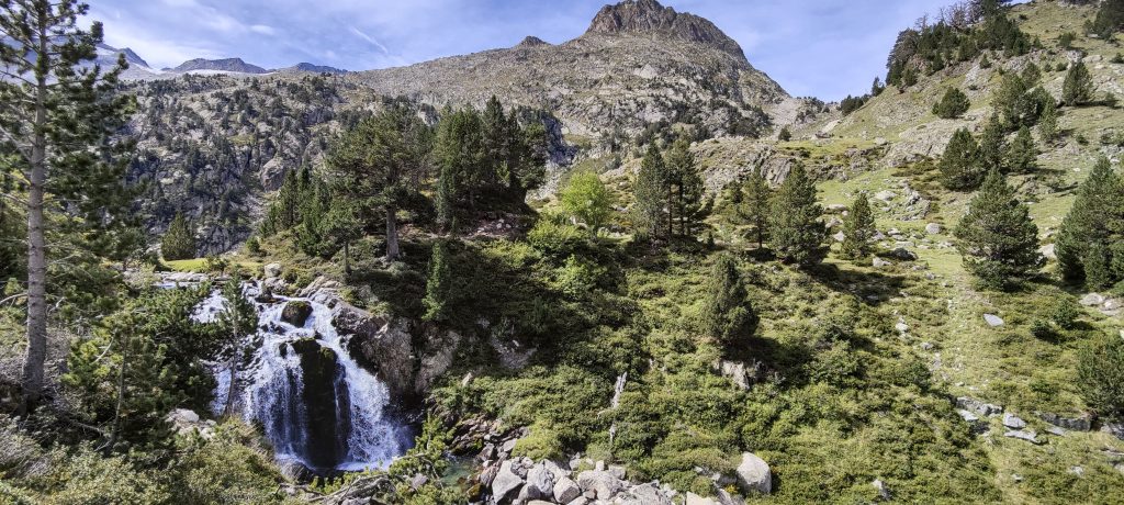
In the lower valley, we go a little to the right. I wade through a shallow stream, but there’s enough water to sneak through my waterproof boots. Another kilometre and we are back in the car.

Surrounding mountains
Marmot is running away from dangerous people.
Green valleys below
Waterfall with beautiful landscapes around
Plan d’Aiguilleurs

This trip’s seventh of eight planned ultrapeaks was climbed. The day is just starting, and we have to drive a long way to Torrecerredo. I’m excited that I’ve been on the top of the Pyrenees. These mountains have 63 P600 peaks. Including Pico de Aneto, I climbed 13, so only 50 remain. Good progress. 


Pico de Aneto3404 m altitude
2881 m prominence
507.49 km isolation
RangesIberian Peninsula - Pyrenees
Countries/regionsSpain - Aragón
Distance7.50 km up7.50 km down
Elevation1498 m gain1498 m loss
Time
4h30 up
0h15 other
4h30 down
9h15 total
Trailhead1905 m altitude42.6781389, 0.6505000
Route<p style="color: #252525;">We began at the parking lot to the northeast of the summit. A gradual tourist route heading east. Then a more difficult climb on the steeper slope to the south. Crossing a large field of ex-glassier slabs, followed by a short scramble to the summit. Before the summit, the exposed Mahoma pass. On the way down, we took the same path.</p>
LinksGPX trail
  • Iberian Peninsula 2022
  • « Pico Almanzor
  • Torrecerredo »

Mountain Ranges

Anatolia
Central Anatolia
Pontic Mountains
Southeast Anatolia
Taurus Mountains
Western Anatolia
Andes
Puna de Atacama
Atlas Mountains
High Atlas
Northwestern Atlas
Central America Ranges
Costa Rica-Panama Ranges
Central Central America
East China
Taiwan
Eastern Europe Ranges
Southeast Baltic Plains
Iberian Peninsula
Cordillera Cantabrica
Castile Ranges
Portugal-Galicia
Pyrenees
Intermountain West
Great Basin Ranges
Korea-Amur Area
Taebaek Sanmae
Malay Archipelago
Java
Nusa Tengarra
Sulawesi
Sumatra
Mid-Atlantic Islands
North Atlantic Islands
Mongolia Ranges
Altai
Gobi Desert Ranges
Hangay Mountains
Northwest Europe
Great Britain
North France-West Rhine Area
Pacific Ranges
Cascade Range
Northwest U.S. Coast Ranges
Sierra Nevada
Central and Southern California Ranges
Philippines
Central Philippines
Luzon
Mindanao
Southeast Asia
Malay Peninsula
Southeast South America
Pampas
Sierras de Cordoba
Southern Africa
Malawi Highlands
West Africa Mountains
Bight of Benin
Cameroon Mountains
Guinea Highlands

Countries / regions

Algeria
Ain Guezzam
Ain Salah
Aïn Témouchent
El Bayadh
Ghardaïa
Oran
Ouargla
Saïda
Sidi Bel Abbès
Tamanrasset
Argentina
Catamarca
Ciudad Autónoma de Buenos Aires
Córdoba
Jujuy
Salta
Tucumán
Belgium
Brussels Capital Region
Flemish Region
Cameroon
Southwest
China
Taiwan
Costa Rica
Alajuela
Cartago
Guanacaste
Heredia
Limón
San José
Czechia
Prague
Denmark
Greenland
France
Hauts-de-France
Occitania
Germany
Berlin
Niedersachsen
Indonesia
Bali
Jambi
Jawa Tengah
Jawa Timur
Nusa Tenggara Barat
Sulawesi Tengah
Sulawesi Utara
Sumatera Barat
Lithuania
Vilnius County
Mongolia
Bayankhongor
Govi-Altai
Khovd
Omnogovi
Ovorkhangai
Ulan Bator
Zavkhan
Morocco
Béni Mellal-Khénifra
Drâa-Tafilalet
Fez-Meknes
Marrakesh-Safi
Souss-Massa
Tangier-Tetouan-Al Hoceima
Mozambique
Zambezia
Netherlands
Gelderland
Noord-Holland
Zeeland
Nicaragua
Chinandega
Managua
Masaya
Rivas
Philippines
Bicol Region (V)
Cagayan Valley (II)
Calabarzon (IV-A)
Central Luzon (III)
Cordillera Administrative Region
Davao Region
Metro Manila
Soccsksargen (XII)
Western Visayas (VI)
Poland
Greater Poland Voivodeship
Masovian Voivodeship
Portugal
Castelo Branco
Leiria
Lisbon
Madeira
Santarém
Qatar
Ad-Dawhah
São Tomé and Príncipe
São Tomé Province
Sierra Leone
Northern Province
Western Area
Singapore
South Korea
Gyeongsangnam-do
Seoul
Spain
Aragón
Asturias
Castilla-La Mancha
Castilla y León
Catalonia
Islas Canarias
Switzerland
Zürich
Turkey
Antalya
Bitlis
Erzincan
Hakkâri
Igdir
Isparta
Kahraman Maras
Muğla
United Kingdom
England
Scotland
United States
California
Delaware
Florida
Maryland
Nevada
New Jersey
New York
Pennsylvania
South Carolina
Utah

TRIPS

2024
Southern Africa 2024
Mid-Atlantic Islands 2024
North America 2024
Anatolia 2024
Korea-Amur Area 2024
East China 2024
2023
Mongolia Ranges 2023
Philippines 2023
West Africa III 2023
West Africa II 2023
Iberian Peninsula 2023
West Africa 2023
Central America 2023
2022
Andes 2022
Northwest Europe 2022
Malay Archipelago III 2022
Malay Archipelago II 2022
Anatolia Mountains 2022
Iberian Peninsula 2022
Atlas Mountains 2022
North France-West Rhine Area 2022

archaeology (3) climb (157) food (2) hike (155) p30 (17) p50 (4) p100 (24) p300 (12) p600 (17) p1000 (11) p1500 (76) ribu (10) sight (46) summary (16) trig (44) ultra (76)

1 591 km walked, 121 298 m climbed

©2025 p600.org | WordPress Theme by Superbthemes.com