Skip to content
Menu
p600.org
  • home
  • map
  • trips
  • about
p600.org

Cerro Chirripó

hike | 2023-01-13

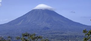
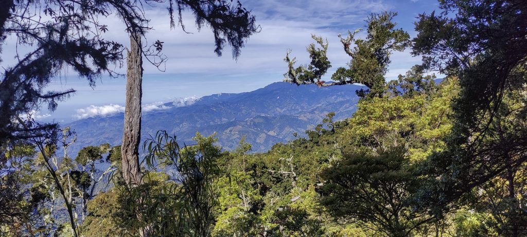
Cerro Chirripó is a remarkable journey in Costa Rica, situated in the Talamanca mountain range. It stands tall at 3,819 metres and is the highest point not only in Costa Rica, but also in the Cartago, Limón and San José regions. Being ranked 36th on the “World Top 50 by Prominence” list, it is a must-see for all nature enthusiasts. The stunning views from Cerro Chirripó are part of the wondrous experience of visiting Chirripó National Park.

The walk starts in the jungle and there are not many views
One of the summits towards Chirripo

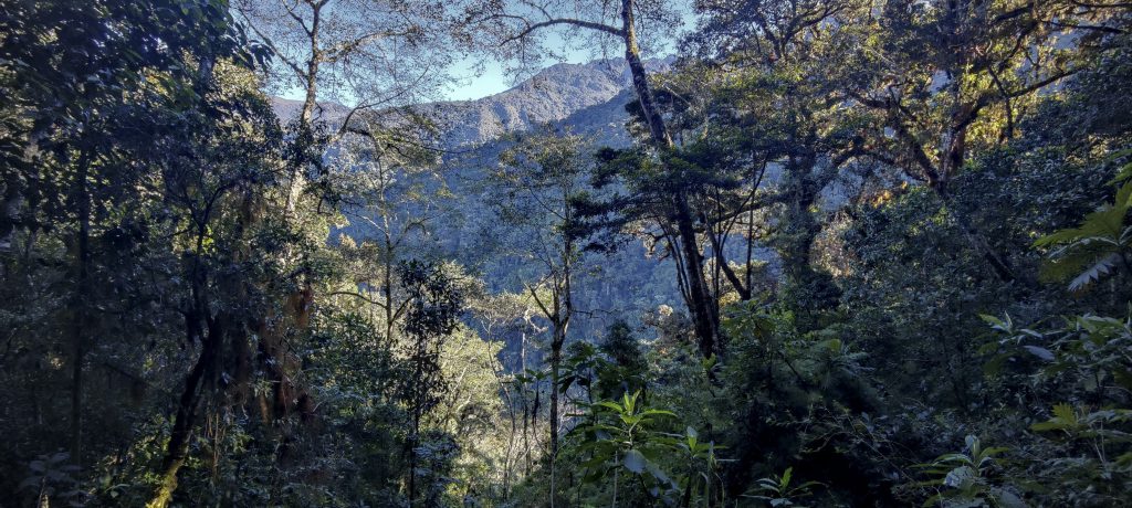
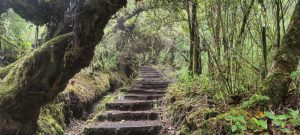
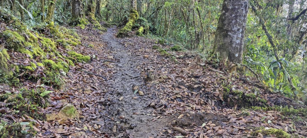
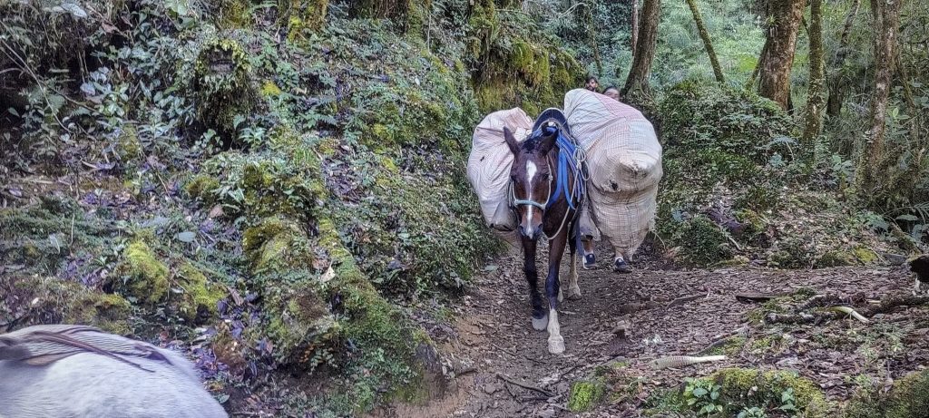
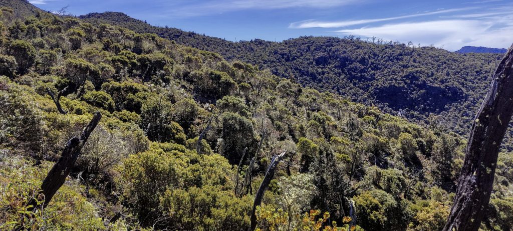
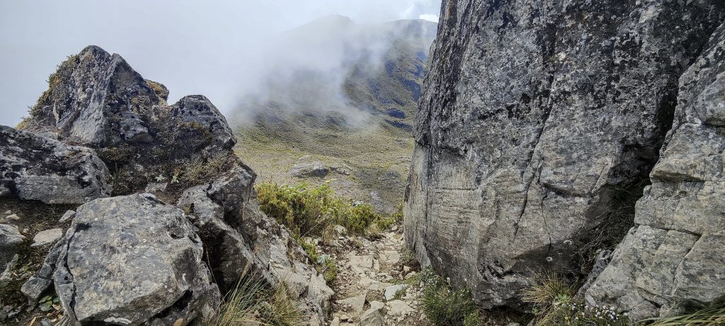
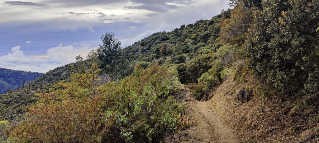
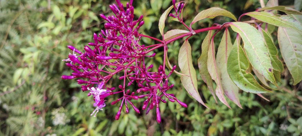
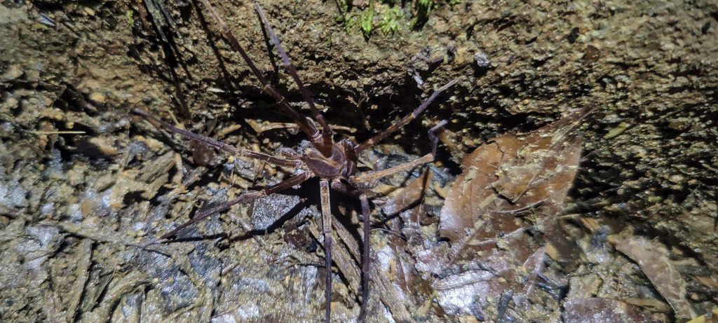
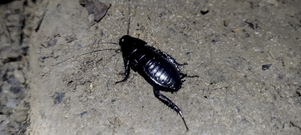
I wake up at 3am in one of the hotels in San Gerardo, near the start of the trail, feeling optimistic about the journey ahead. I decide to take on the challenge of walking the few extra kilometres to my destination. At around 4am, I reach the end of the road and start to climb up the wide, well-maintained trail. It takes me through a beautiful jungle, mostly in the shade. The slippery parts are made safer by wooden walkways dug into the ground – giving me good traction and a very useful tool to complete this adventure.

Wide path and mules to carry goods to the refuge
Open path from the top of the ridge with beautiful surroundings
The path up to the hut is wide and very interesting and pleasant

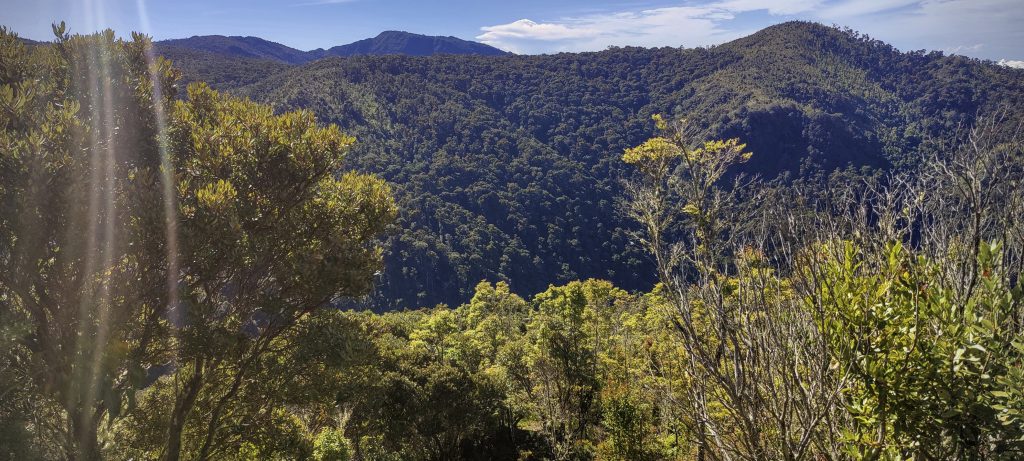
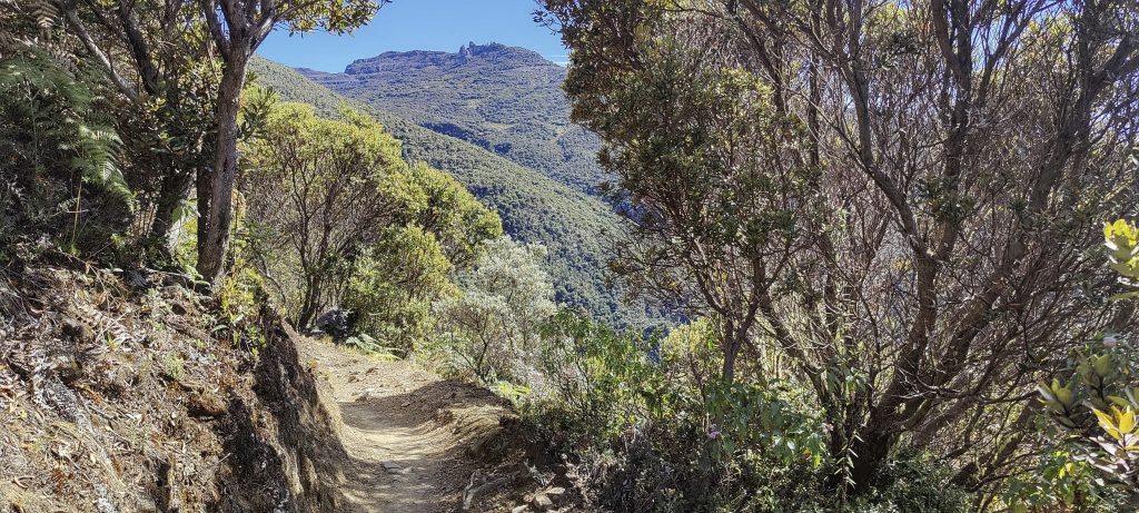
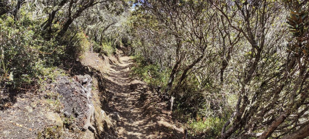
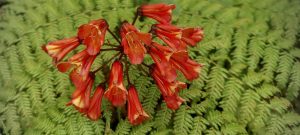
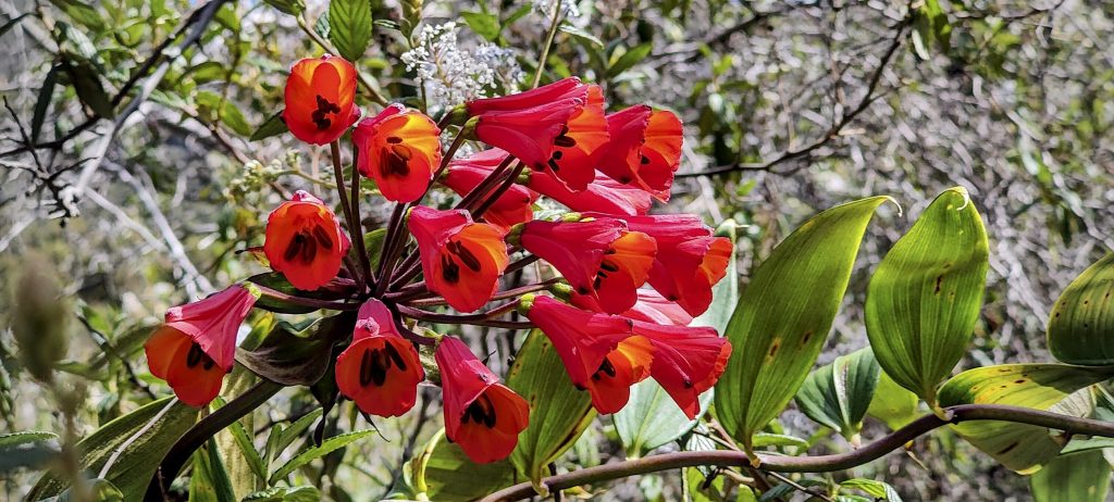
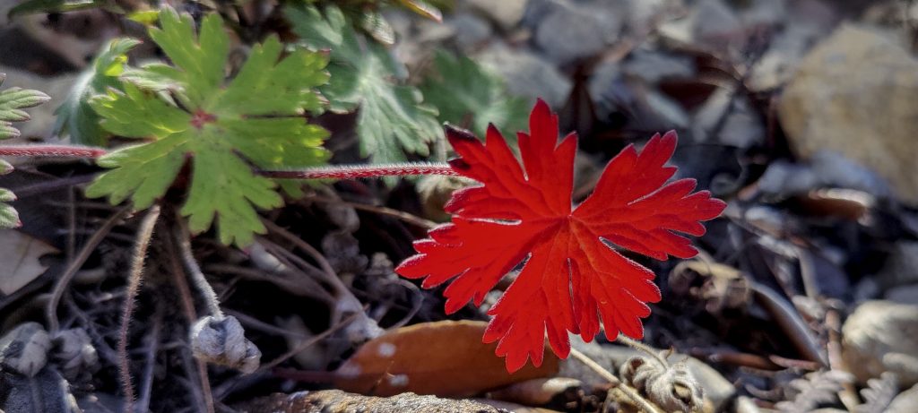
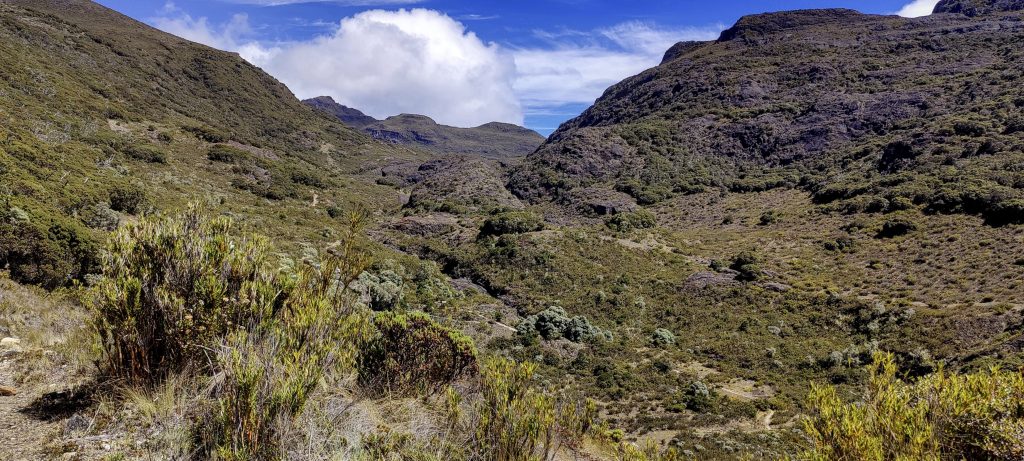
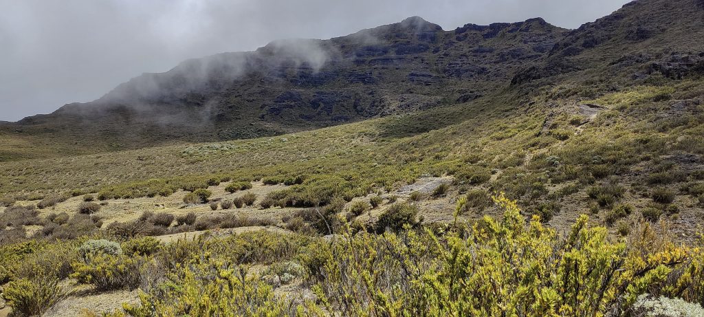
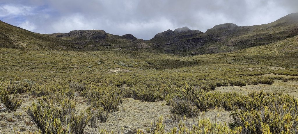
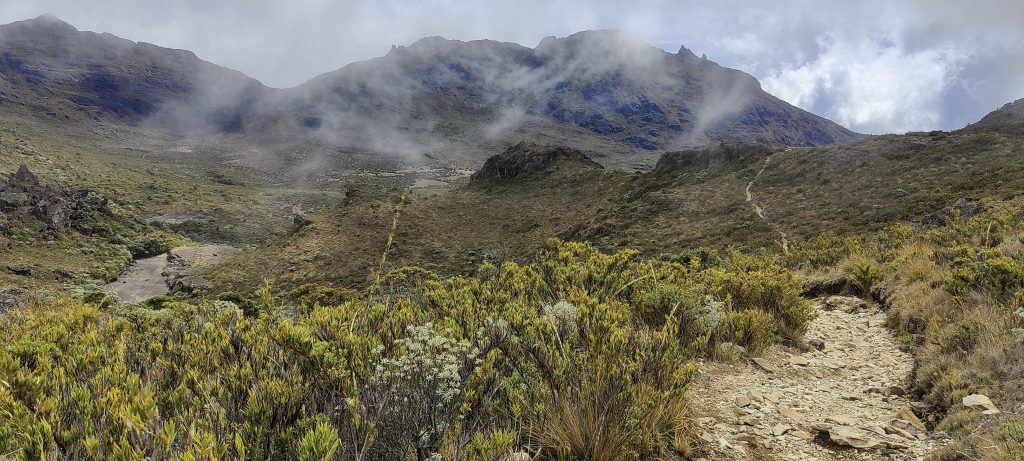
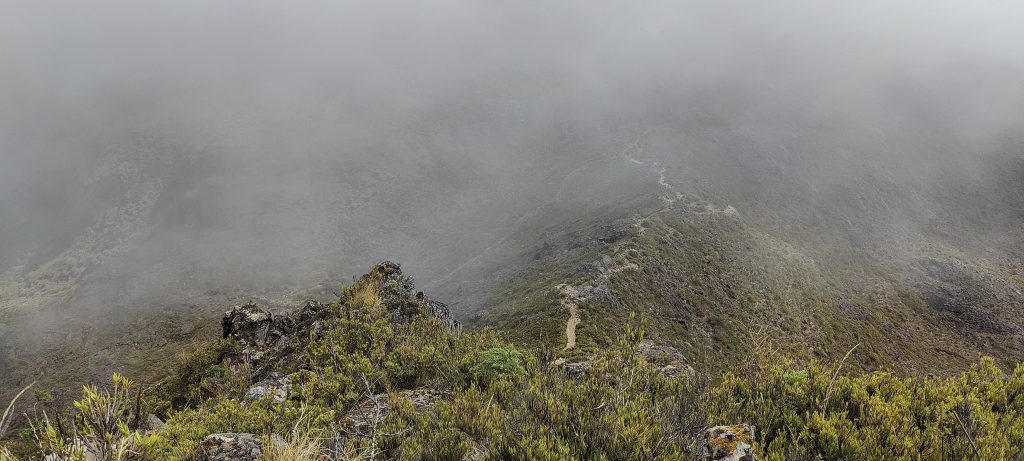
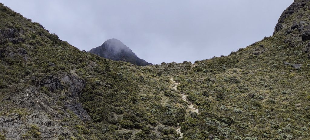
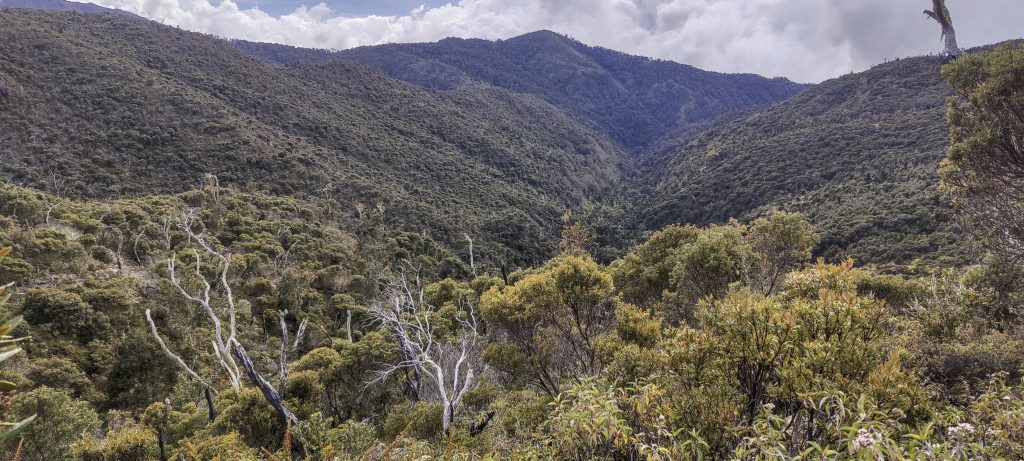
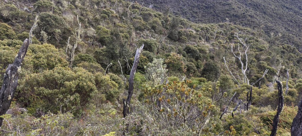
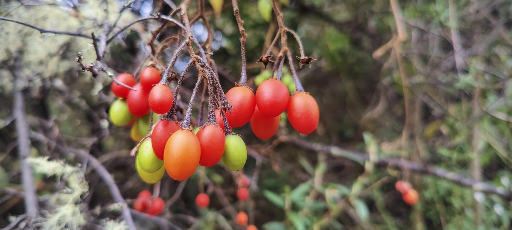
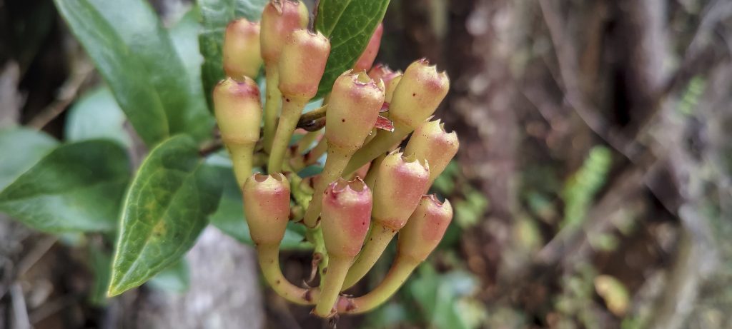
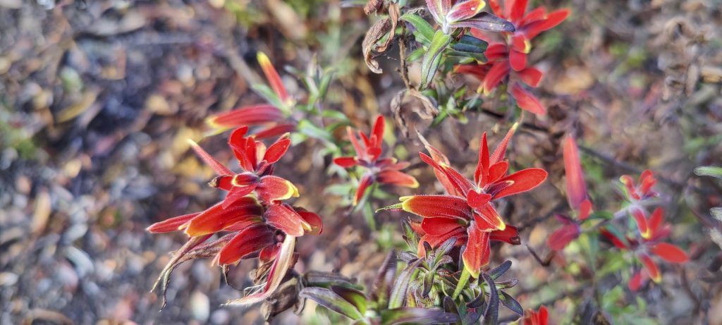
Soon I am greeted by an open space path. Although the sun is beating down, I am comforted by the stunning views around me. After a short while, I come across a hut that seems to be quite busy. Instead of stopping there, I decided to continue my journey up the mountain towards the summit – still five or more kilometres away.

Bomarea costaricensis
Geranium pusillum
Green spiny lizard (Sceloporus malachiticus)
Forest all around, visible from the ridge
Los Crestones

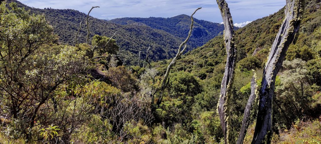
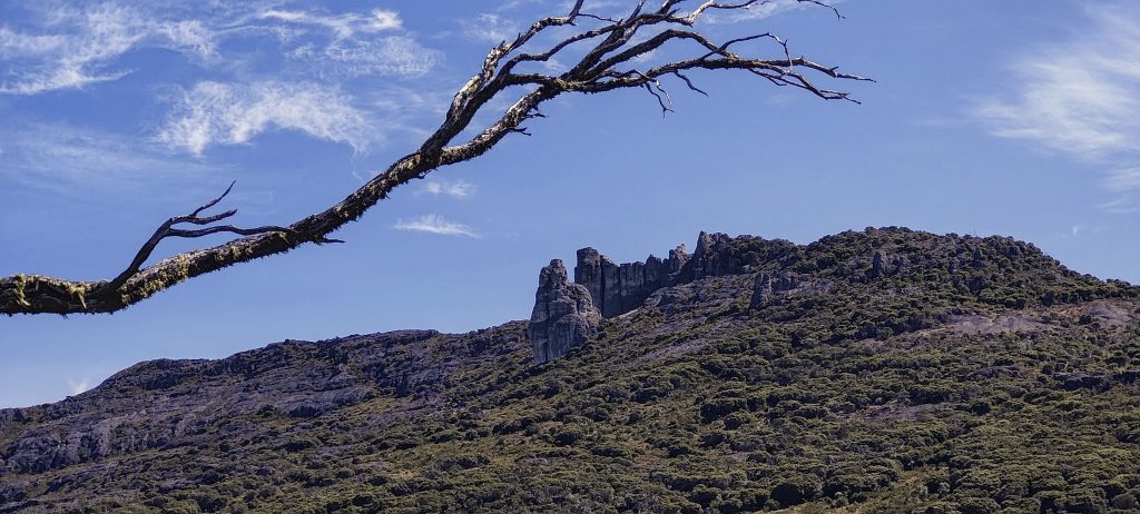
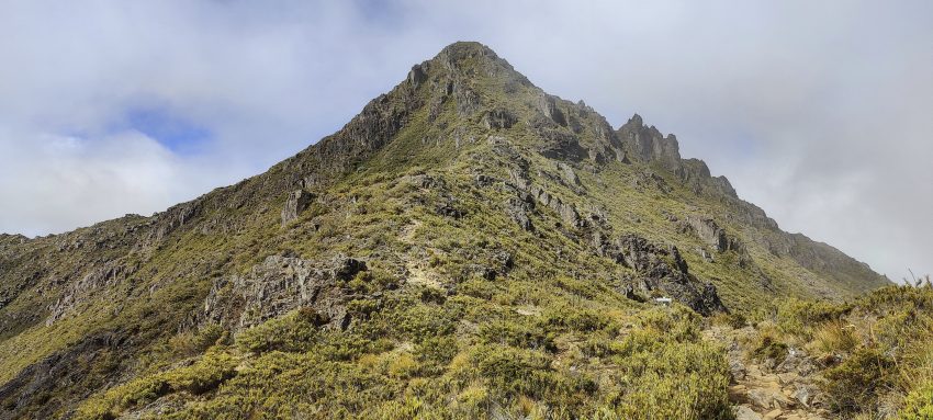
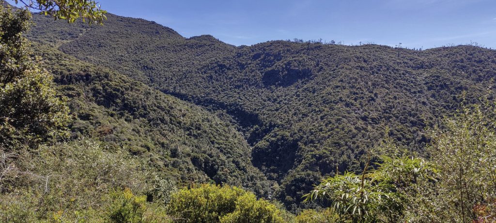
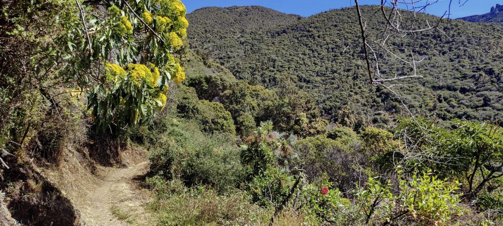
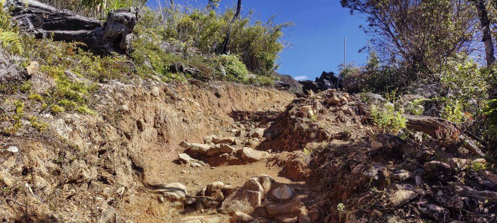
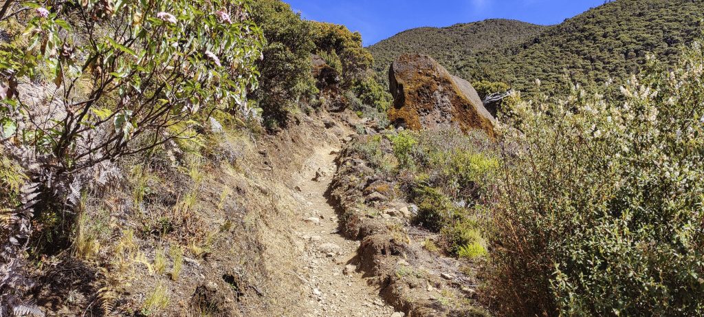
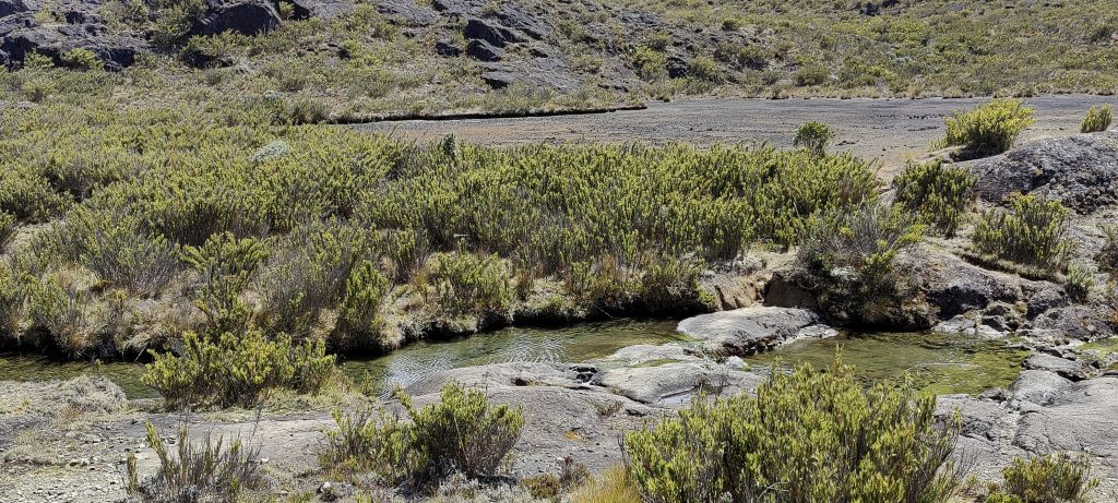
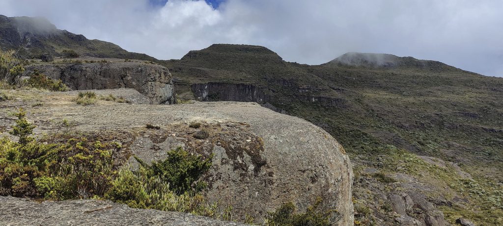
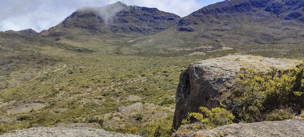
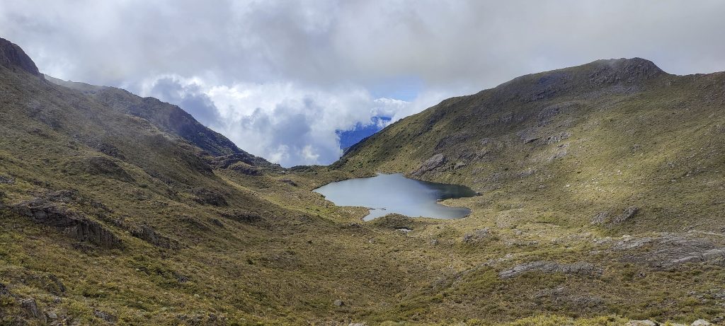
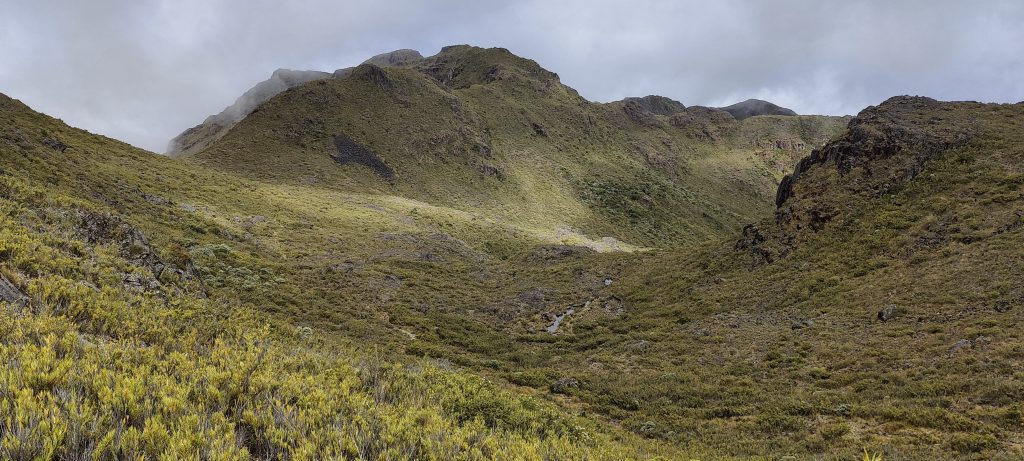
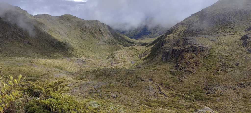
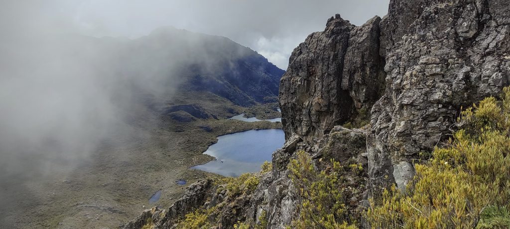
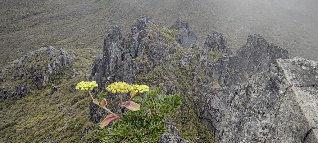
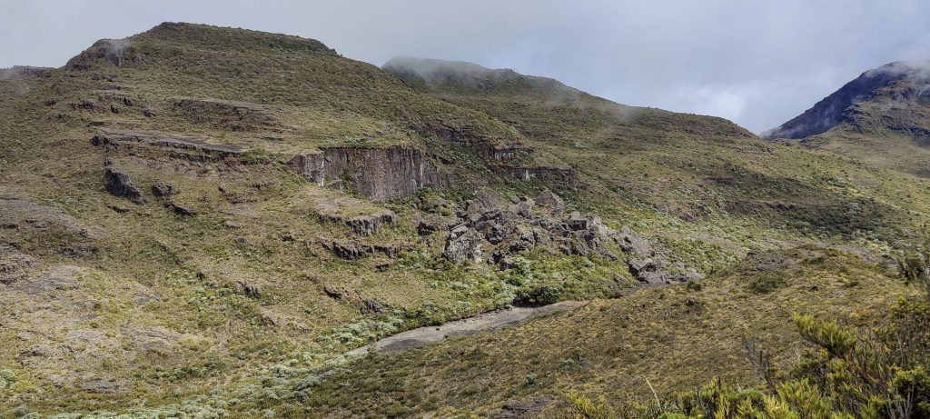
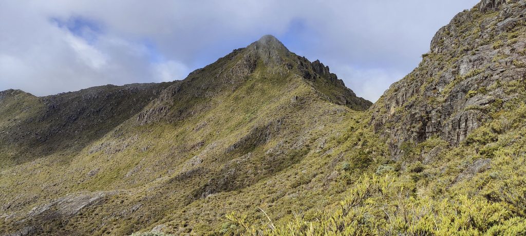
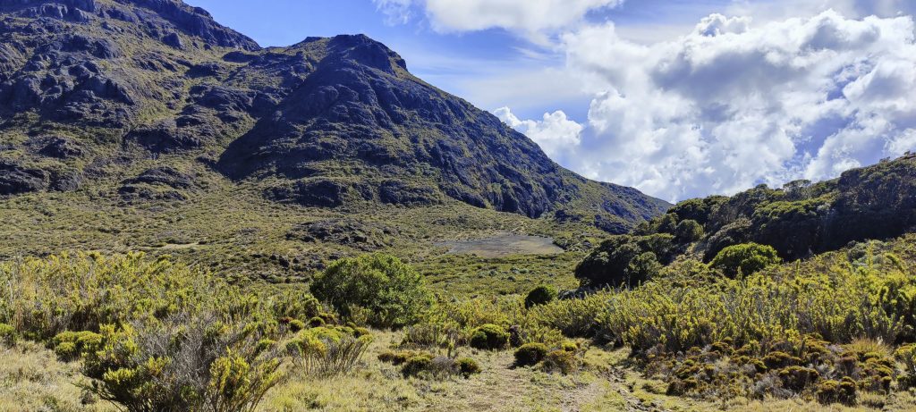
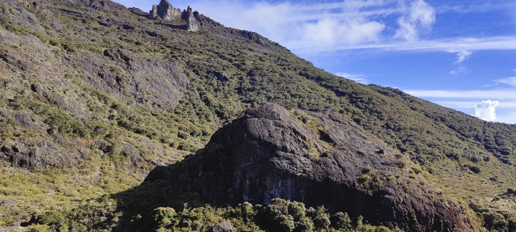
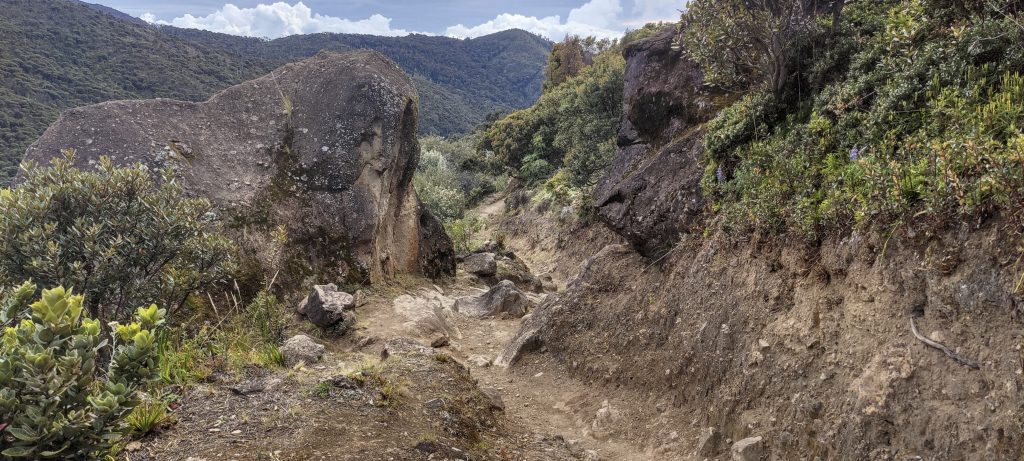
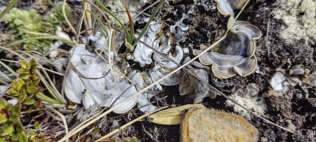
From the hut, a small but very visible and well-maintained track follows the stream. It passes a dry lake and leads to the middle of a large plateau. It is worth turning left before you get there to take a shortcut and save a kilometre, which I did on the way down. Beautiful views, keeps me moving fast. One more slope, one more saddle and finally I can see the summit (article cover photo). From here a few hundred metres of traverse, another sixty metres of scramble and bingo. The summit.

Creek coming down from Chirripo
At the very end, behind the hill, there is a peak
Beautiful valleys, close to the summit
Few cliffs along the way
Looking back at the trail
There are three lakes near the top
Valleys from the last slope to the summit
Second lake is also visible
The path on which I came
At the summit
Two out of three on the summit like nuts

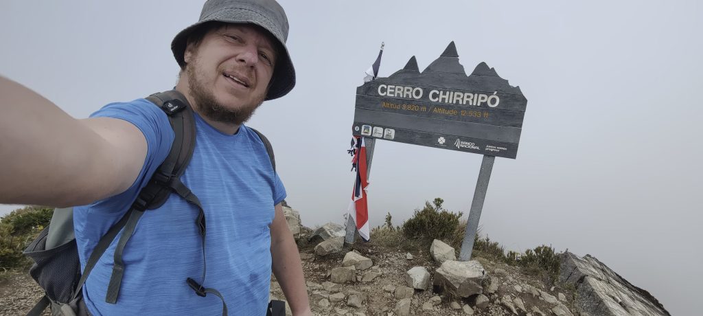
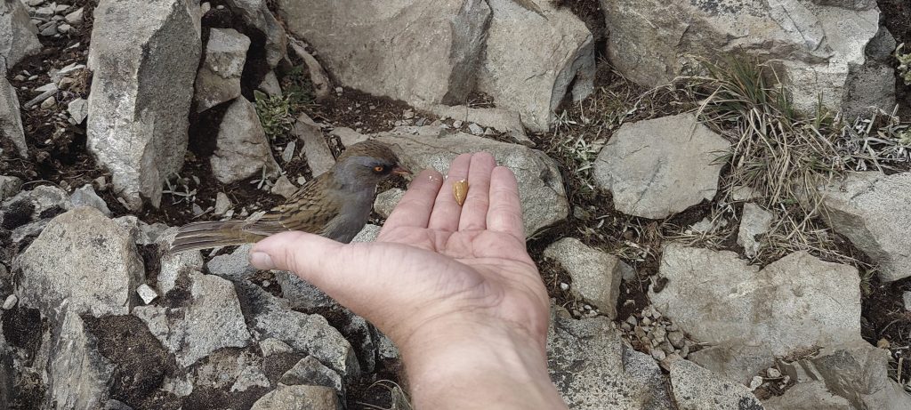
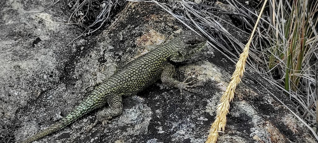
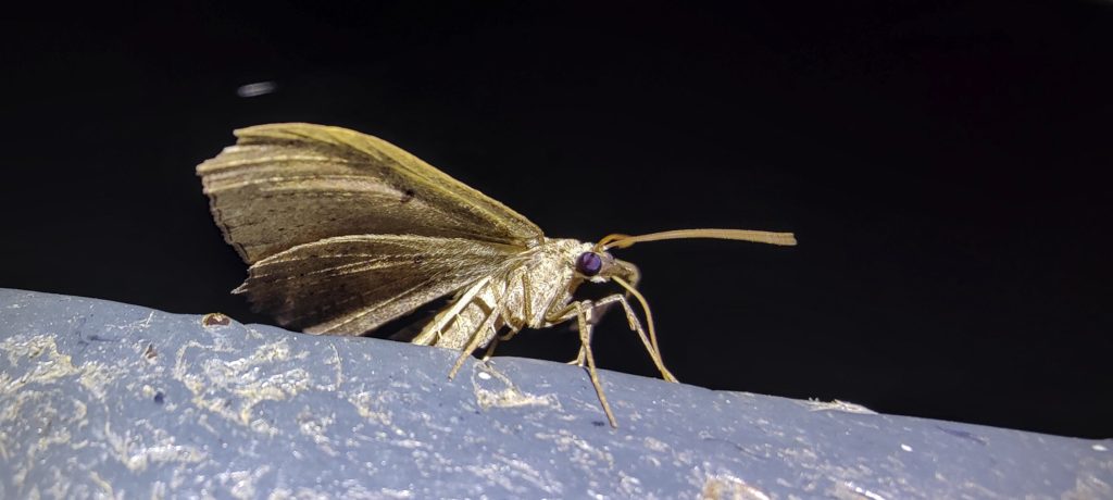
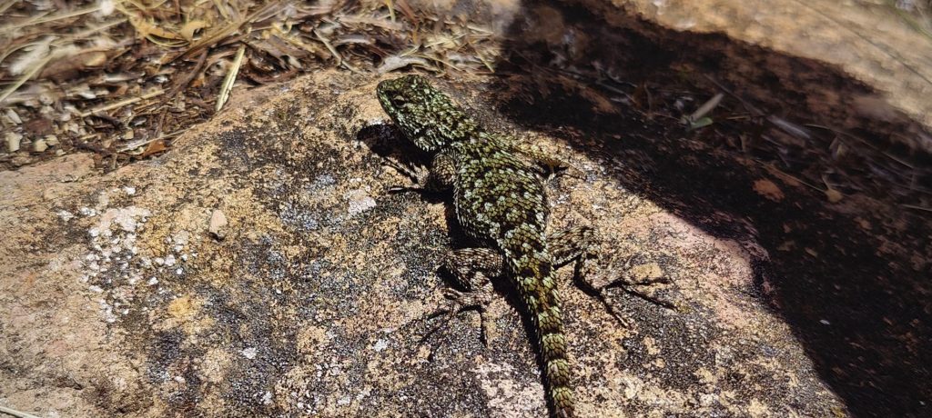
There was a big sign on the summit with its name, a few clouds blocked my view. A shy lizard and a curious bird took the chance and ate from my hand. I look at the time, almost 1 pm, obviously I have to descend in the dark. No big deal, but a good reminder to keep going. After a few minutes I went back down the same path, but decided to take a shortcut across the plateau and finally reached the hut. I tried to buy some soda, but they kindly informed me that it was only available to those who had registered overnight. They did, however, offer me a refill, which was very nice of them.

View down from the summit
Nerby summits
Col to pass and descent trail
Another look back at the summit
Dry lake
Huge rocks
Trail runs along this valley
Trail is never boring, always something interesting ahead
Fuchsia paniculata
Almost tomato (Solanum dulcamara)
Interesting white fungus and reddish bushes in many places
Monochaetum vulcanicum
Monochaetum vulcanicum blossoms
Bocconia frutescens ??
Nocturnal spiders and bugs on the trail

I am overjoyed to have reached my hotel at 8pm in the dark, and even more so that the owner has kindly offered to cook me dinner, even though the restaurant is closed. It has been a long day, I have walked 43 kilometres and climbed almost 3000 metres. Every hike on this trip has been remarkable, but Cerro Chirripo is said to be the most spectacular. I am in awe of the unspoilt beauty of this region and all its captivating trails and views. After a delicious dinner I fall into a deep sleep. Tomorrow I head back to San José for one last short hike to Cerro Rabo de Mico before flying home next day.

Moth

Cerro Chirripó3819 m altitude
3755 m prominence
877.41 km isolation
RangesCentral America Ranges - Costa Rica-Panama Ranges
Countries/regionsCosta Rica – Cartago</br>Costa Rica – Limón</br>Costa Rica – San José
Distance22.00 km up21.00 km down
Elevation2848 m gain2848 m loss
Time
10h00 up
0h30 other
8h00 down
18h30 total
Trailhead1370 m altitude9.4657770, -83.5962220
Difficulties<p>Long distance, sufficient altitude gain, long day</p>
LinksGPX trail
  • Central America 2023
  • « Volcán Barva
  • Cerro Rabo de Mico »

Mountain Ranges

Anatolia
Central Anatolia
Pontic Mountains
Southeast Anatolia
Taurus Mountains
Western Anatolia
Andes
Puna de Atacama
Atlas Mountains
High Atlas
Northwestern Atlas
Central America Ranges
Costa Rica-Panama Ranges
Central Central America
East China
Taiwan
Eastern Europe Ranges
Southeast Baltic Plains
Iberian Peninsula
Cordillera Cantabrica
Castile Ranges
Portugal-Galicia
Pyrenees
Intermountain West
Great Basin Ranges
Korea-Amur Area
Taebaek Sanmae
Malay Archipelago
Java
Nusa Tengarra
Sulawesi
Sumatra
Mid-Atlantic Islands
North Atlantic Islands
Mongolia Ranges
Altai
Gobi Desert Ranges
Hangay Mountains
Northwest Europe
Great Britain
North France-West Rhine Area
Pacific Ranges
Cascade Range
Northwest U.S. Coast Ranges
Sierra Nevada
Central and Southern California Ranges
Philippines
Central Philippines
Luzon
Mindanao
Southeast Asia
Malay Peninsula
Southeast South America
Pampas
Sierras de Cordoba
Southern Africa
Malawi Highlands
West Africa Mountains
Bight of Benin
Cameroon Mountains
Guinea Highlands

Countries / regions

Algeria
Ain Guezzam
Ain Salah
Aïn Témouchent
El Bayadh
Ghardaïa
Oran
Ouargla
Saïda
Sidi Bel Abbès
Tamanrasset
Argentina
Catamarca
Ciudad Autónoma de Buenos Aires
Córdoba
Jujuy
Salta
Tucumán
Belgium
Brussels Capital Region
Flemish Region
Cameroon
Southwest
China
Taiwan
Costa Rica
Alajuela
Cartago
Guanacaste
Heredia
Limón
San José
Czechia
Prague
Denmark
Greenland
France
Hauts-de-France
Occitania
Germany
Berlin
Niedersachsen
Indonesia
Bali
Jambi
Jawa Tengah
Jawa Timur
Nusa Tenggara Barat
Sulawesi Tengah
Sulawesi Utara
Sumatera Barat
Lithuania
Vilnius County
Mongolia
Bayankhongor
Govi-Altai
Khovd
Omnogovi
Ovorkhangai
Ulan Bator
Zavkhan
Morocco
Béni Mellal-Khénifra
Drâa-Tafilalet
Fez-Meknes
Marrakesh-Safi
Souss-Massa
Tangier-Tetouan-Al Hoceima
Mozambique
Zambezia
Netherlands
Gelderland
Noord-Holland
Zeeland
Nicaragua
Chinandega
Managua
Masaya
Rivas
Philippines
Bicol Region (V)
Cagayan Valley (II)
Calabarzon (IV-A)
Central Luzon (III)
Cordillera Administrative Region
Davao Region
Metro Manila
Soccsksargen (XII)
Western Visayas (VI)
Poland
Greater Poland Voivodeship
Masovian Voivodeship
Portugal
Castelo Branco
Leiria
Lisbon
Madeira
Santarém
Qatar
Ad-Dawhah
São Tomé and Príncipe
São Tomé Province
Sierra Leone
Northern Province
Western Area
Singapore
South Korea
Gyeongsangnam-do
Seoul
Spain
Aragón
Asturias
Castilla-La Mancha
Castilla y León
Catalonia
Islas Canarias
Switzerland
Zürich
Turkey
Antalya
Bitlis
Erzincan
Hakkâri
Igdir
Isparta
Kahraman Maras
Muğla
United Kingdom
England
Scotland
United States
California
Delaware
Florida
Maryland
Nevada
New Jersey
New York
Pennsylvania
South Carolina
Utah

TRIPS

2024
Southern Africa 2024
Mid-Atlantic Islands 2024
North America 2024
Anatolia 2024
Korea-Amur Area 2024
East China 2024
2023
Mongolia Ranges 2023
Philippines 2023
West Africa III 2023
West Africa II 2023
Iberian Peninsula 2023
West Africa 2023
Central America 2023
2022
Andes 2022
Northwest Europe 2022
Malay Archipelago III 2022
Malay Archipelago II 2022
Anatolia Mountains 2022
Iberian Peninsula 2022
Atlas Mountains 2022
North France-West Rhine Area 2022

archaeology (3) climb (157) food (2) hike (155) p30 (17) p50 (4) p100 (24) p300 (12) p600 (17) p1000 (11) p1500 (76) ribu (10) sight (46) summary (16) trig (44) ultra (76)

1 591 km walked, 121 298 m climbed

©2025 p600.org | WordPress Theme by Superbthemes.com