Skip to content
Menu
p600.org
  • home
  • map
  • trips
  • about
p600.org

Volcán Concepción

hike | 2023-01-08

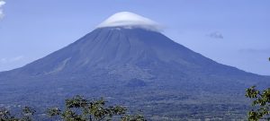
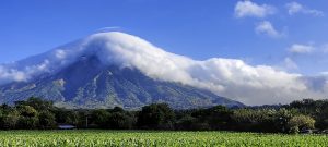
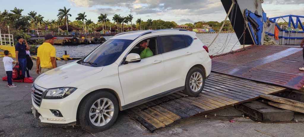
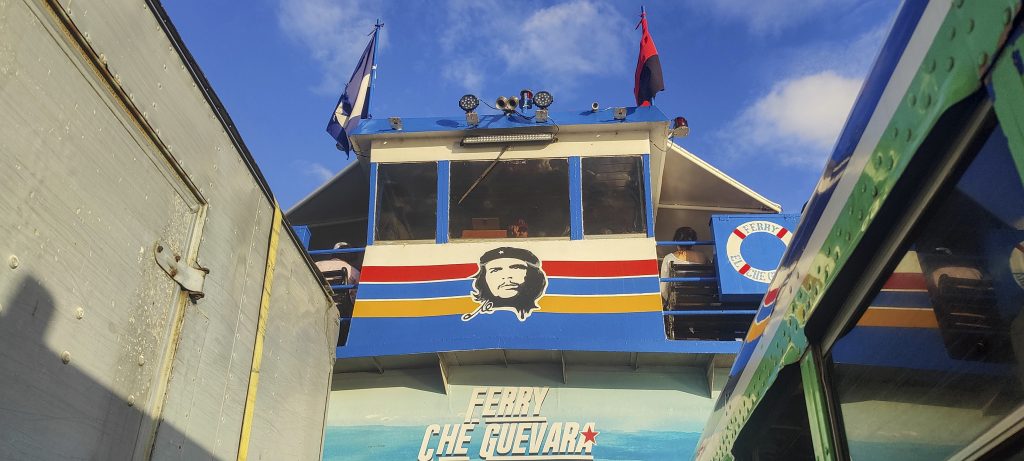
An active stratovolcano, the most prominent lake mountain in the world, the most prominent mountain in Nicaragua, and maybe the “most” of something else… For us, it’s enough that it’s an ultra peak. We try to get on the first ferry in the morning, but we don’t know if we’ll make it. To transfer the car – the most important thing is the reservation. Over the next two days we are asked half a dozen times if we have a reservation. And we have none.

Sunrise over the lake Nicaragua
Ferry to the island
Surprisingly, the bus fits on the ferry

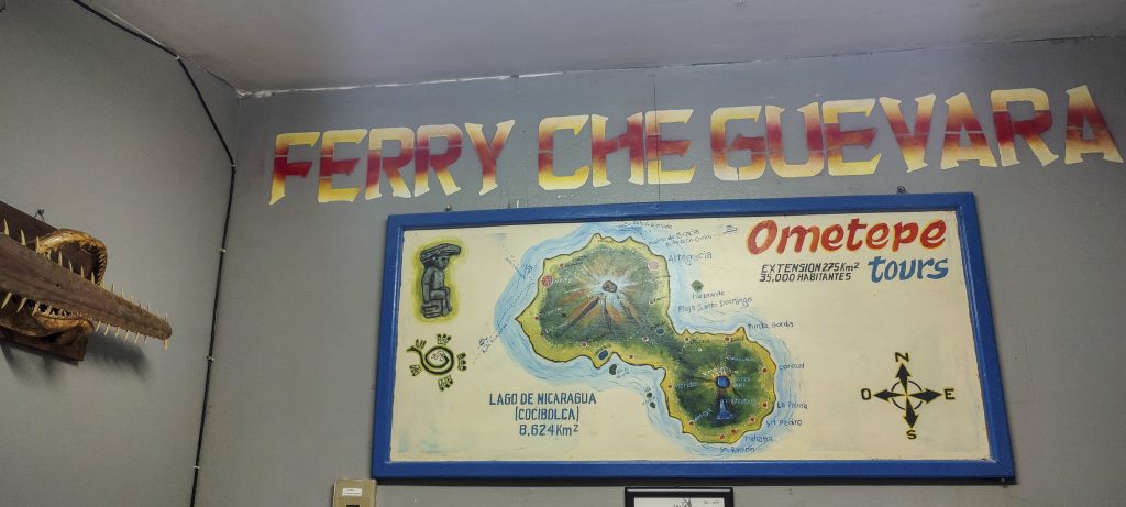
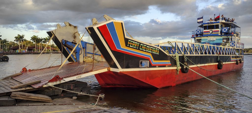
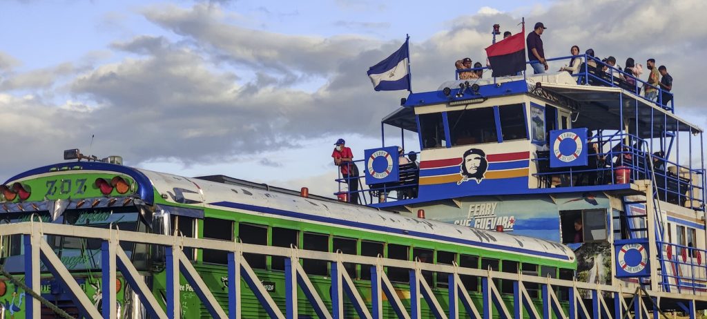
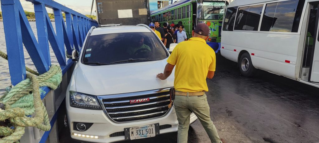
The man at the gate says we should wait for the captain to decide if there is room for our car. We wait patiently, and with good reason. The captain says you will fit, but you need a reservation… and explains how to get one. In return he puts us on some kind of list, who knows, maybe it’s a reservation for the return trip. At one kiosk we pay about 15 USD for a transfer (you can’t pay in advance for a return ticket). At the other kiosk they book us a seat for the outward transfer and for the return tomorrow. We seem to have done all the formalities. As we approach the ferry, we see a coloured bus driving backwards, trying to fit through the slightly wider ferry gates. The bus fits, along with about ten other cars and a hundred or more people. There is nowhere to sit on the ferry, all the seats are taken. Our car is not blocked, so we can sit comfortably in it.

Dave backed into the ferry and parked within centimetres of other cars and walls
Che is alive!
Other ferries

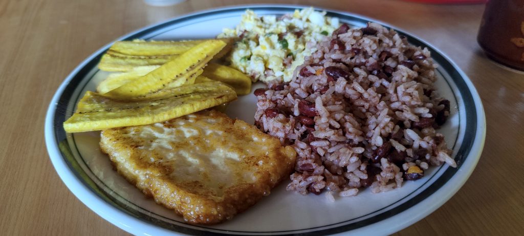
We sailed in, disembarked and stopped at a small shop to buy water for a hike. Dave asked if there was anything to eat for breakfast. The owner opened the veranda and showed us two tables. Soon they were bringing us a great typical breakfast, possibly the best breakfast of the trip.

Banana, grilled cheese, rice with beans and scrambled eggs

Based on the information we had, we were supposed to pay for a park ticket and maybe even hire the obligatory guide. We accidentally missed the park office and decided to pay on the way back. On the way back we saw the office, but it was closed. Next to the ongoing construction we left our car and started to climb.

Impressively strong trees

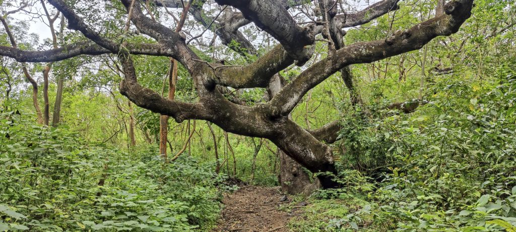
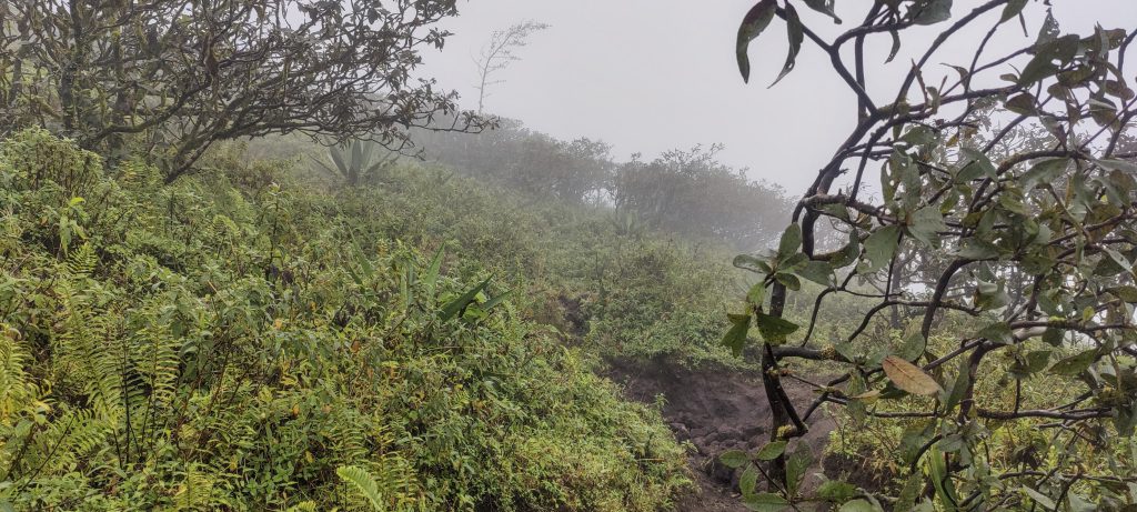
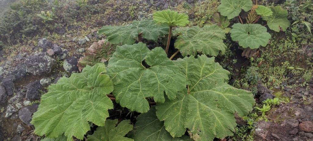
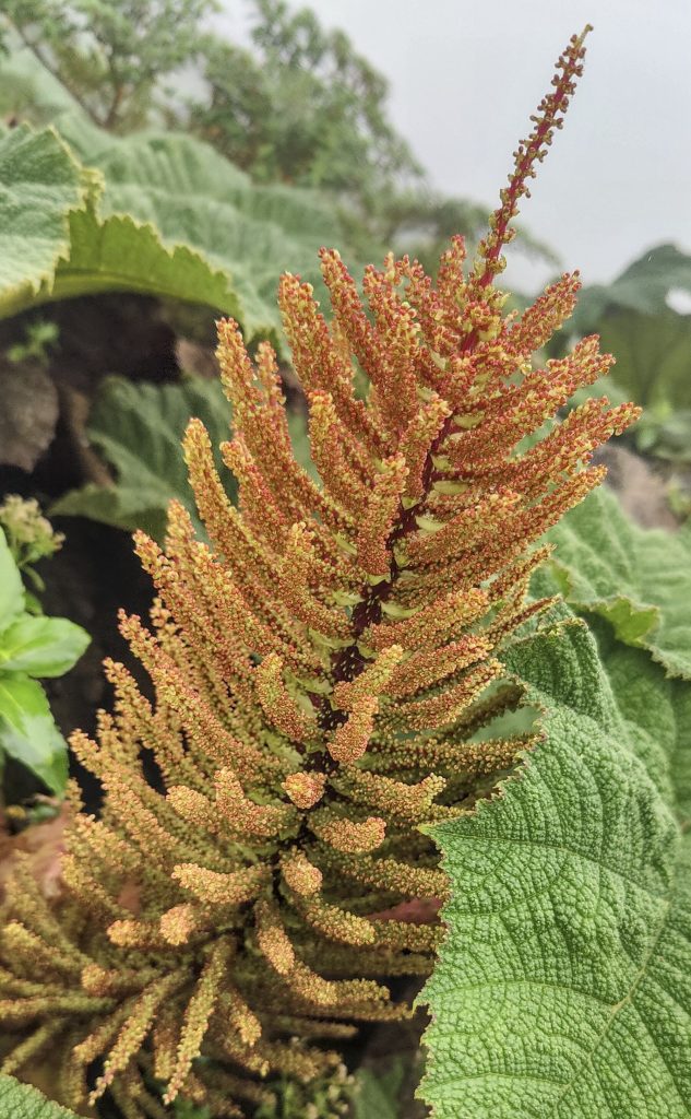
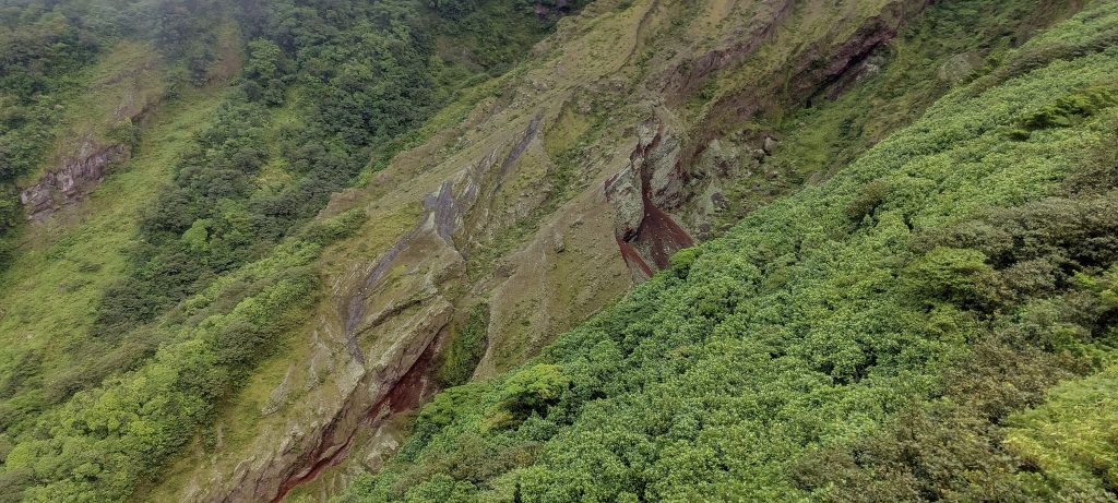
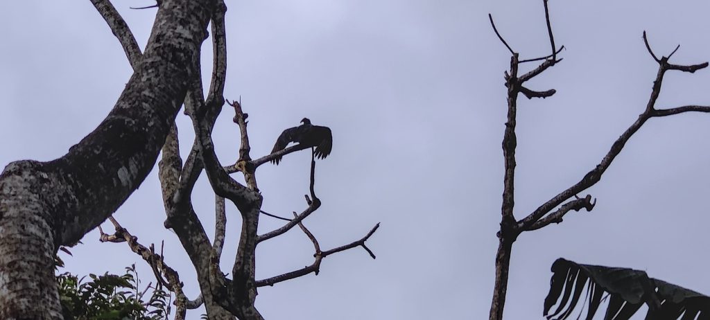
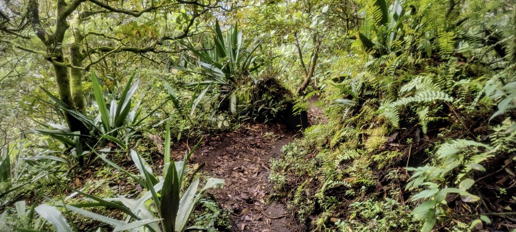
The road is wide and gradual at the start, but gets a bit steeper later on. Well marked trail all the way. Near the top you have to climb over loose rocks. In some places the rocks are quite warm due to the still active volcano. Fog, clouds, poor visibility. The hill is popular, we pass several groups of climbers, mostly in sneakers.

Platans
Views down and trail, but all in the clouds
Monochaetum vulcanicum ??
Concepcion guards

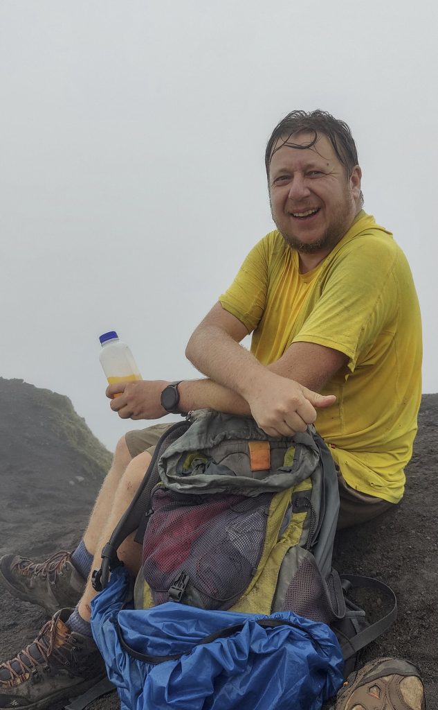
As I contemplate the heated rocks of the volcano, I don’t even notice how I end up at the top, where Dave is sitting comfortably. The highest point is obvious, a small rock protruding from the edge of the cliff. I touch the rock with my hand just in case, after all this is my 100th ultra summit. Now I’m going to count to two hundred.

Giant rhubarb (Gunnera manicata ??)
Rhubarb leave
Rhubarb
Me
Dave on the summit
Summit

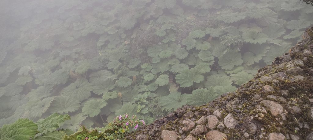
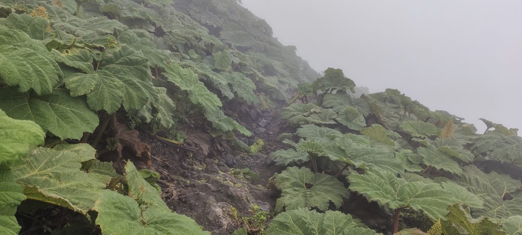
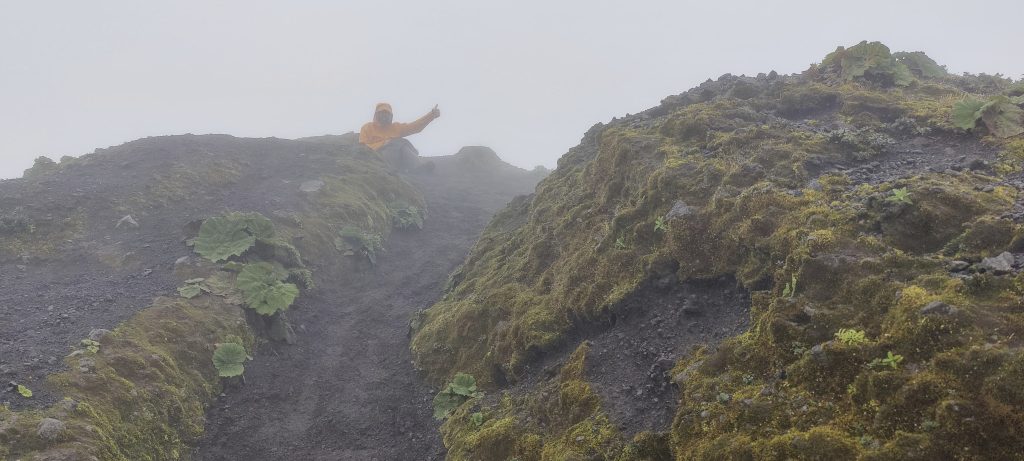
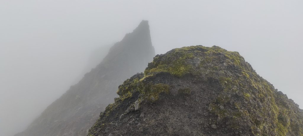
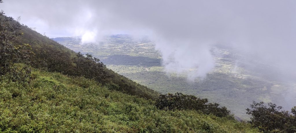
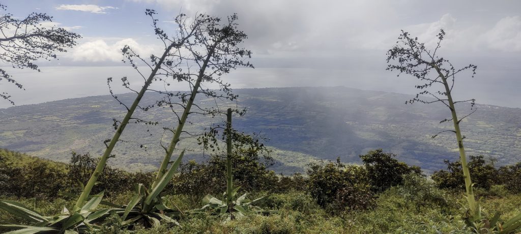
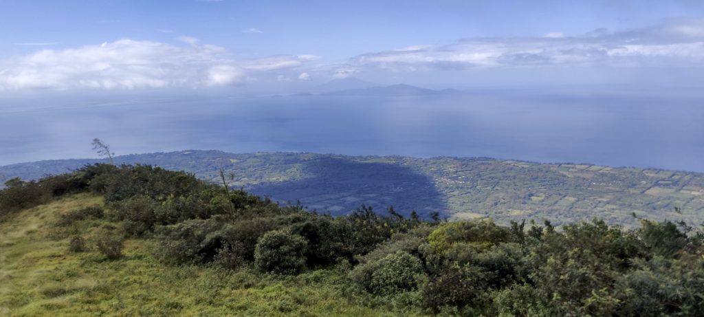
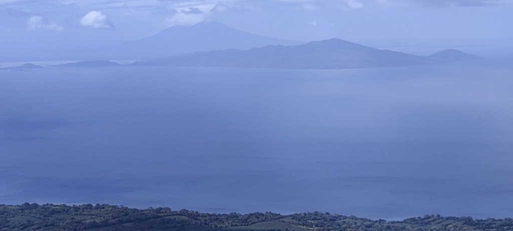
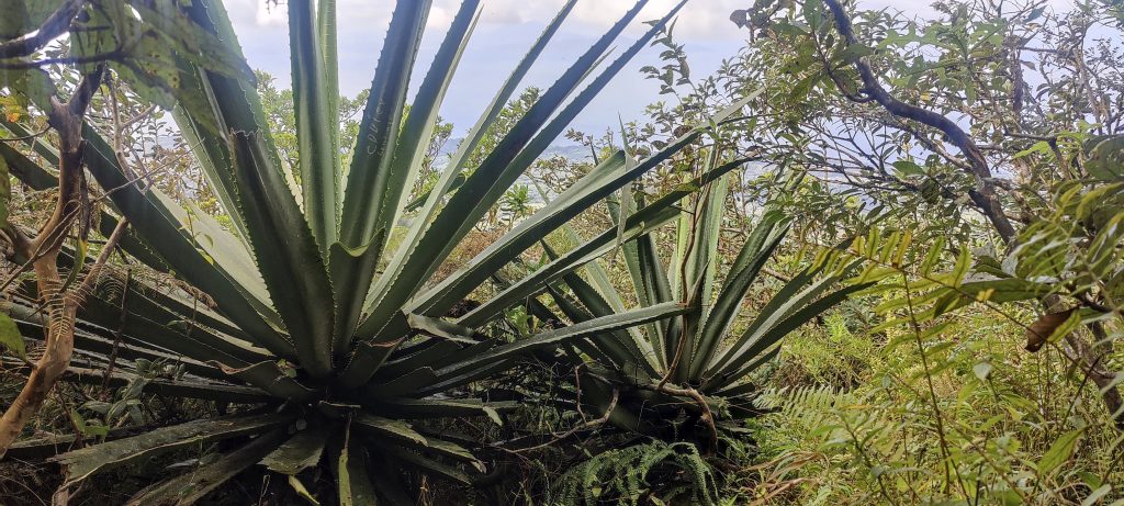
A few photos and we go down the same way we came up. Not a great choice of routes to be honest. The steep rocks at the top are slippery, but it’s not difficult if you take your time. Halfway down we come out of the clouds and can enjoy the view, which should be even better on a clear day. However, most hike reports mention clouds and poor visibility.

Views down
Monochaetum vulcanicum ??
Cotoneaster
Lower slopes
VIews around and to surrounding peaks
Leafcutter ant (Atta cephalotes ??)
Bird drying its wings
On the descent
Tree must have super strong roots
Turk’s turban (Malvaviscus arboreus)
King swallowtail (Papilio thoas)
Castor oil plant (Ricinus communis). According to the Guinness World Records, this is the world’s most poisonous common plant.

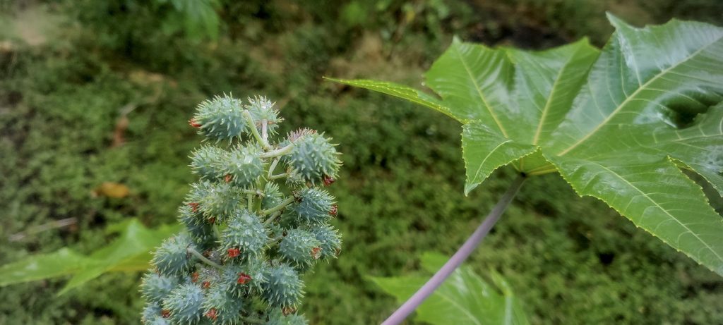
We return to the car, change and head to the hotel. Tomorrow we will attempt to climb Volcán Maderas, which is located in the south-east of Ometepe and is perhaps the world’s second most prominent lake peak.

For my 100th summit Dave treated me to an ice cream. Thanks, it was delicious. Looking forward to another ice cream after 100 more peaks.

Heavy rain on the way down

Volcán Concepción1610 m altitude
1579 m prominence
69.43 km isolation
RangesCentral America Ranges - Central Central America
Countries/regionsNicaragua – Rivas
Distance5.60 km up5.60 km down
Elevation1452 m gain1452 m loss
Time
3h30 up
0h05 other
2h45 down
6h20 total
Trailhead157 m altitude11.5522500, -85.6611660
LinksGPX trail
  • Central America 2023
  • « Las Cumbres
  • Volcán Maderas »

Mountain Ranges

Anatolia
Central Anatolia
Pontic Mountains
Southeast Anatolia
Taurus Mountains
Western Anatolia
Andes
Puna de Atacama
Atlas Mountains
High Atlas
Northwestern Atlas
Central America Ranges
Costa Rica-Panama Ranges
Central Central America
East China
Taiwan
Eastern Europe Ranges
Southeast Baltic Plains
Iberian Peninsula
Cordillera Cantabrica
Castile Ranges
Portugal-Galicia
Pyrenees
Intermountain West
Great Basin Ranges
Korea-Amur Area
Taebaek Sanmae
Malay Archipelago
Java
Nusa Tengarra
Sulawesi
Sumatra
Mid-Atlantic Islands
North Atlantic Islands
Mongolia Ranges
Altai
Gobi Desert Ranges
Hangay Mountains
Northwest Europe
Great Britain
North France-West Rhine Area
Pacific Ranges
Cascade Range
Northwest U.S. Coast Ranges
Sierra Nevada
Central and Southern California Ranges
Philippines
Central Philippines
Luzon
Mindanao
Southeast Asia
Malay Peninsula
Southeast South America
Pampas
Sierras de Cordoba
Southern Africa
Malawi Highlands
West Africa Mountains
Bight of Benin
Cameroon Mountains
Guinea Highlands

Countries / regions

Algeria
Ain Guezzam
Ain Salah
Aïn Témouchent
El Bayadh
Ghardaïa
Oran
Ouargla
Saïda
Sidi Bel Abbès
Tamanrasset
Argentina
Catamarca
Ciudad Autónoma de Buenos Aires
Córdoba
Jujuy
Salta
Tucumán
Belgium
Brussels Capital Region
Flemish Region
Cameroon
Southwest
China
Taiwan
Costa Rica
Alajuela
Cartago
Guanacaste
Heredia
Limón
San José
Czechia
Prague
Denmark
Greenland
France
Hauts-de-France
Occitania
Germany
Berlin
Niedersachsen
Indonesia
Bali
Jambi
Jawa Tengah
Jawa Timur
Nusa Tenggara Barat
Sulawesi Tengah
Sulawesi Utara
Sumatera Barat
Lithuania
Vilnius County
Mongolia
Bayankhongor
Govi-Altai
Khovd
Omnogovi
Ovorkhangai
Ulan Bator
Zavkhan
Morocco
Béni Mellal-Khénifra
Drâa-Tafilalet
Fez-Meknes
Marrakesh-Safi
Souss-Massa
Tangier-Tetouan-Al Hoceima
Mozambique
Zambezia
Netherlands
Gelderland
Noord-Holland
Zeeland
Nicaragua
Chinandega
Managua
Masaya
Rivas
Philippines
Bicol Region (V)
Cagayan Valley (II)
Calabarzon (IV-A)
Central Luzon (III)
Cordillera Administrative Region
Davao Region
Metro Manila
Soccsksargen (XII)
Western Visayas (VI)
Poland
Greater Poland Voivodeship
Masovian Voivodeship
Portugal
Castelo Branco
Leiria
Lisbon
Madeira
Santarém
Qatar
Ad-Dawhah
São Tomé and Príncipe
São Tomé Province
Sierra Leone
Northern Province
Western Area
Singapore
South Korea
Gyeongsangnam-do
Seoul
Spain
Aragón
Asturias
Castilla-La Mancha
Castilla y León
Catalonia
Islas Canarias
Switzerland
Zürich
Turkey
Antalya
Bitlis
Erzincan
Hakkâri
Igdir
Isparta
Kahraman Maras
Muğla
United Kingdom
England
Scotland
United States
California
Delaware
Florida
Maryland
Nevada
New Jersey
New York
Pennsylvania
South Carolina
Utah

TRIPS

2024
Southern Africa 2024
Mid-Atlantic Islands 2024
North America 2024
Anatolia 2024
Korea-Amur Area 2024
East China 2024
2023
Mongolia Ranges 2023
Philippines 2023
West Africa III 2023
West Africa II 2023
Iberian Peninsula 2023
West Africa 2023
Central America 2023
2022
Andes 2022
Northwest Europe 2022
Malay Archipelago III 2022
Malay Archipelago II 2022
Anatolia Mountains 2022
Iberian Peninsula 2022
Atlas Mountains 2022
North France-West Rhine Area 2022

archaeology (3) climb (157) food (2) hike (155) p30 (17) p50 (4) p100 (24) p300 (12) p600 (17) p1000 (11) p1500 (76) ribu (10) sight (46) summary (16) trig (44) ultra (76)

1 591 km walked, 121 298 m climbed

©2025 p600.org | WordPress Theme by Superbthemes.com