Skip to content
Menu
p600.org
  • home
  • map
  • trips
  • about
p600.org

Cerro Altar

hike | 2022-11-28
2525 m altitude, 15 m prominence, - km isolation
Ovnipuerto Cachi. A Swiss man built this airstrip for aliens because a UFO captain telepathically told him to

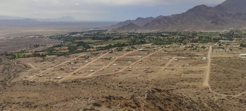
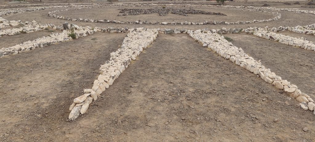
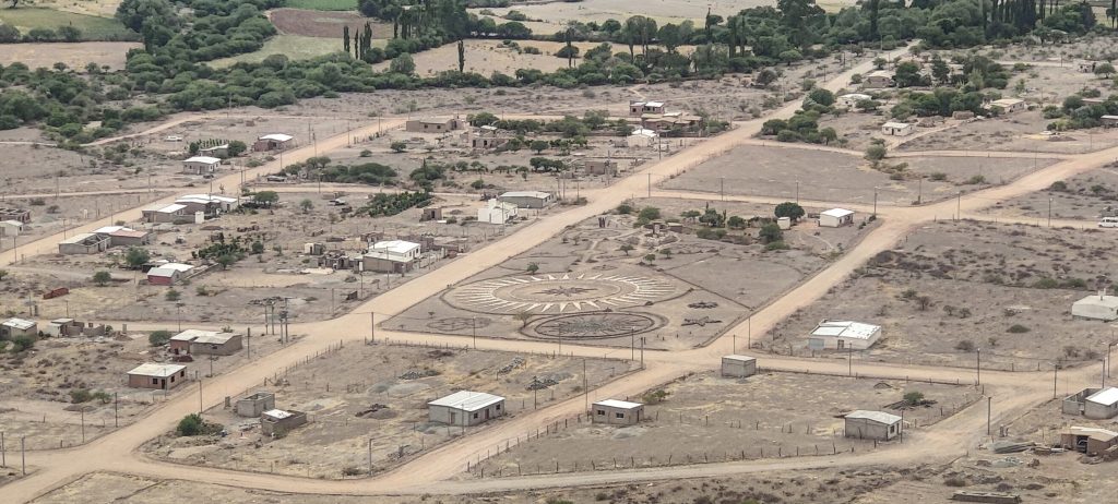
We stay in the tidy town of Cachi. It’s still late in the evening, and through the hotel window I can see a few small hills, also marked on the map as viewpoints. We go to visit them. Start by checking out the UFO landing strip. It’s a meticulous job; the white pebbles are arranged in straight lines. I think their pilot will appreciate that.

The saddle between the two peaks is marked with a cross

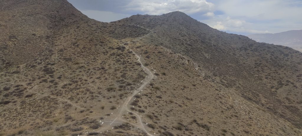
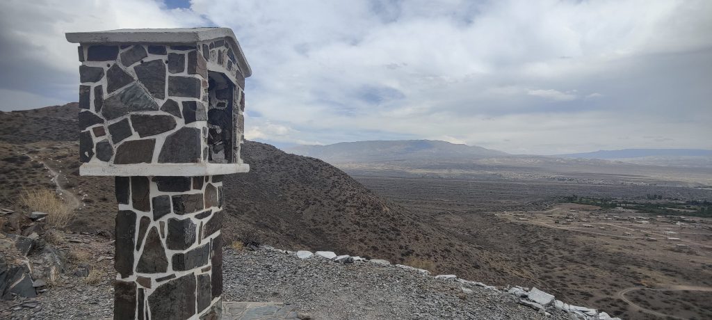
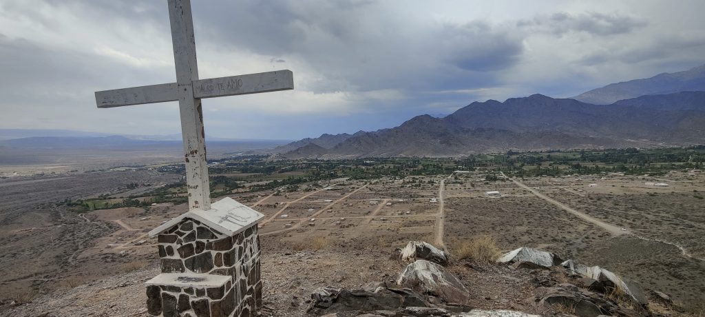
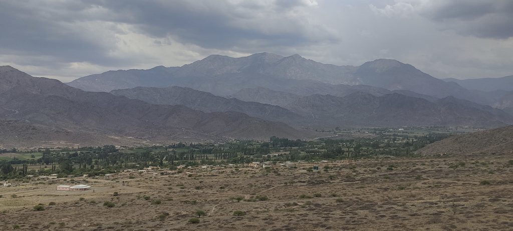
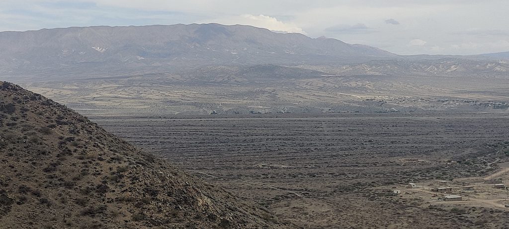
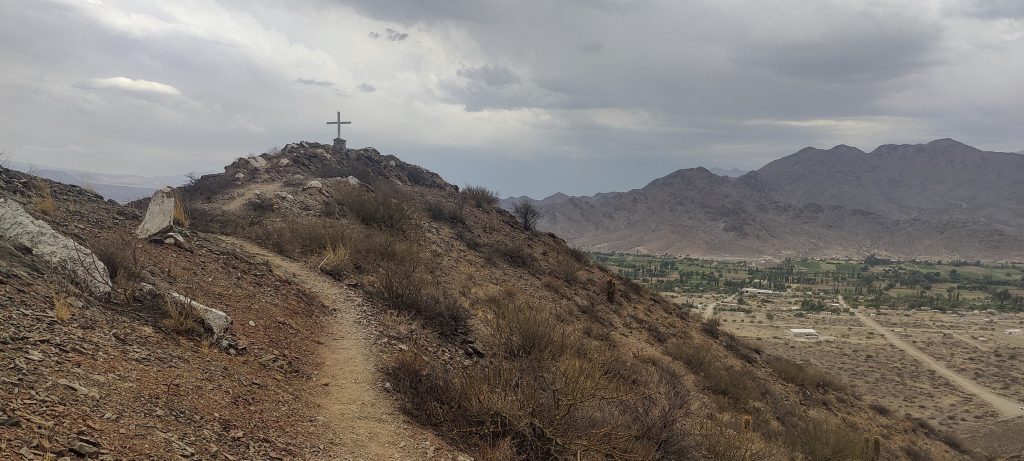
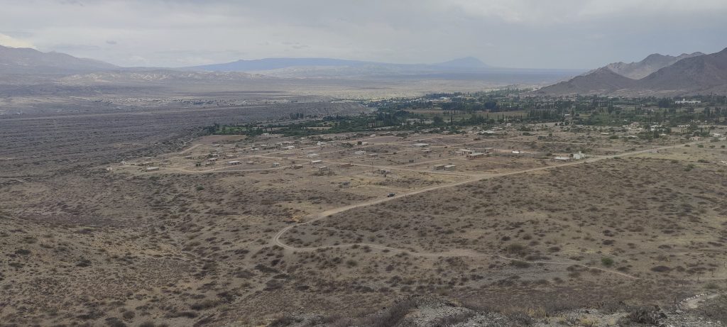
At the beginning, we climb to the Mirador del Altar, a slightly lower but more prominent peak. Rob takes measurements and walk toward the higher but less prominent Mirador La Cruz. The UFO landing site is clearly visible from here; it must be visible from the sky above too. Good.

Mirador del Altar
Mirador La Cruz
Remote mountains
Lower but more prominent Mirador del Altar
Higher but less prominent Mirador La Cruz
Cachi
Cacti
Ovnipuerto Cachi, who would miss this nice landing spot
View from top
Rain approaches

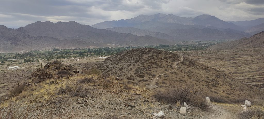
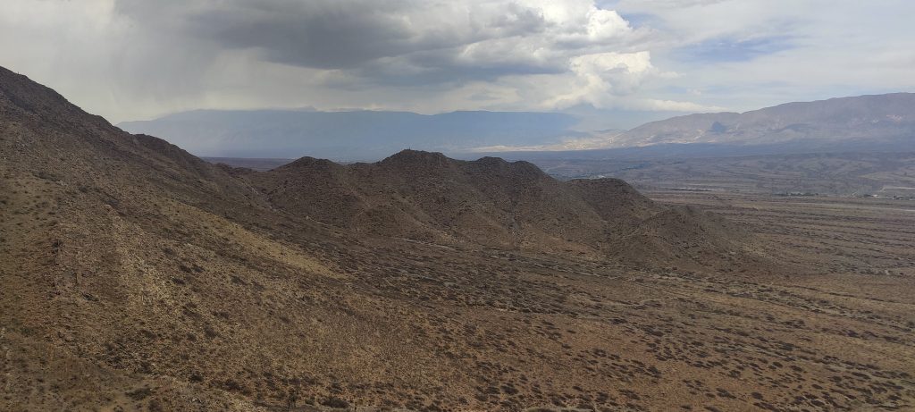
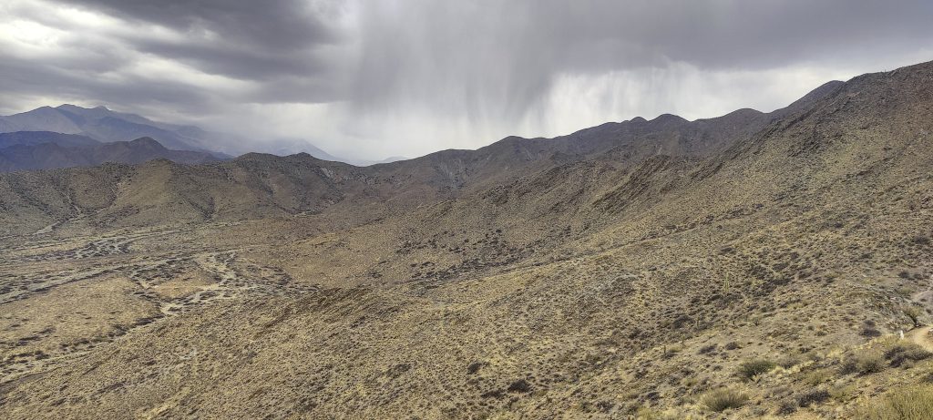
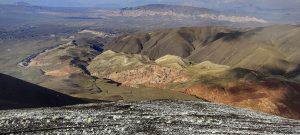
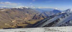
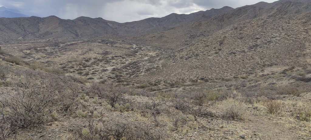
It would be possible to climb even higher, but it’s starting to drizzle, and there will probably be another one and another one on the next ridge. So we’re going back, and tomorrow morning we’ll try to climb Cerro Malcante.


Cerro Altar 2525 m altitude
15 m prominence
Ranges South America - Andes - Puna de Atacama
Countries/regions Argentina – Salta
Distance 0.70 km up 0.90 km down
Elevation 81 m gain 81 m loss
Time
0h15 up
0h05 other
0h15 down
0h35 total
Trailhead 2442 m altitude -25.0952770, -66.1756940
Links GPX trail
  • Andes 2022
  • « Cumbres Calchaquies
  • Cerro Malcante »

Mountain Ranges

Anatolia
Taurus Mountains
Western Anatolia
Andes
Puna de Atacama
Atlas Mountains
High Atlas
Northwestern Atlas
Central America Ranges
Costa Rica-Panama Ranges
Central Central America
Eastern Europe Ranges
Southeast Baltic Plains
Iberian Peninsula
Cordillera Cantabrica
Castile Ranges
Portugal-Galicia
Pyrenees
Malay Archipelago
Java
Nusa Tengarra
Sulawesi
Sumatra
Northwest Europe
Great Britain
North France-West Rhine Area
Southeast South America
Pampas
Sierras de Cordoba
West Africa Mountains
Bight of Benin
Cameroon Mountains

Countries / regions

Algeria
Ain Guezzam
Ain Salah
Aïn Témouchent
El Bayadh
Ghardaïa
Oran
Ouargla
Saïda
Sidi Bel Abbès
Tamanrasset
Argentina
Catamarca
Ciudad Autónoma de Buenos Aires
Córdoba
Jujuy
Salta
Tucumán
Belgium
Flemish Region
Brussels Capital Region
Cameroon
Southwest
Costa Rica
Alajuela
Cartago
Guanacaste
Heredia
Limón
San José
Czechia
Prague
Denmark
Greenland
France
Hauts-de-France
Germany
Berlin
Niedersachsen
Indonesia
Bali
Jambi
Jawa Tengah
Jawa Timur
Nusa Tenggara Barat
Sulawesi Tengah
Sulawesi Utara
Sumatera Barat
Lithuania
Vilnius County
Morocco
Béni Mellal-Khénifra
Drâa-Tafilalet
Fez-Meknes
Marrakesh-Safi
Souss-Massa
Tangier-Tetouan-Al Hoceima
Netherlands
Gelderland
Noord-Holland
Nicaragua
Chinandega
Managua
Masaya
Rivas
Poland
Greater Poland Voivodeship
Masovian Voivodeship
Portugal
Castelo Branco
Leiria
Lisbon
Santarém
São Tomé and Príncipe
São Tomé Province
Spain
Aragón
Asturias
Castilla-La Mancha
Castilla y León
Switzerland
Zürich
Turkey
Antalya
Isparta
Muğla
United Kingdom
England
Scotland
United States
Delaware
Florida
Georgia
Maryland
New Jersey
New York
North Carolina
South Carolina
Pennsylvania
Virginia

TRIPS

2023
West Africa 2023 II
Iberian Peninsula 2023
West Africa 2023
Central America 2023
2022
Andes 2022
Northwest Europe 2022
Malay Archipelago III 2022
Malay Archipelago II 2022
Anatolia Mountains 2022
Iberian Peninsula 2022
Atlas Mountains 2022

archaeology (3) climb (69) food (2) hike (68) p30 (3) p100 (9) p300 (8) p600 (13) p1000 (5) p1500 (34) ribu (4) sight (34) summary (11) ultra (34)

839 km walked, 65 247 m climbed

©2023 p600.org | WordPress Theme by Superbthemes.com