Skip to content
Menu
p600.org
  • home
  • map
  • trips
  • about
p600.org

Cumbres Calchaquies

hike | 2022-11-27
4740 m altitude, 1688 m prominence, 43.16 km isolation

The first Cerro Pan de Azúca climb was great, but it didn’t help us acclimatise and get used to the higher altitude. Next, we chose the Cumbres Calchaquies, as the first night would be at 3000m, the second night at 4100m, and the summit at 4740m. Optimistically, we decided that this would be the right acclimatisation plan. And we were not wrong; everything worked perfectly, with the only consequence being a slight headache in the first camp.

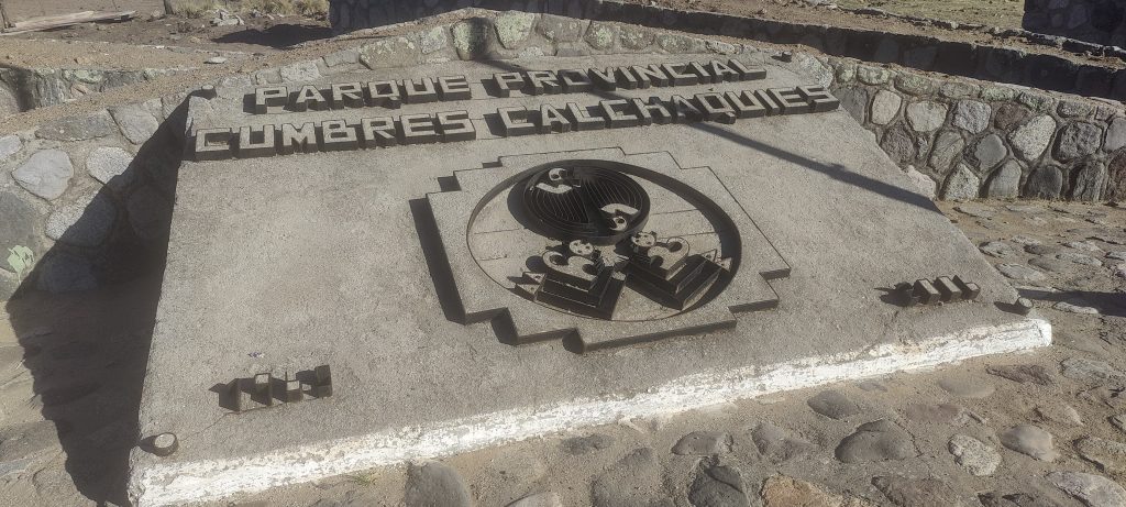
  • Day 1. Camp at mountain pass at El Infiernillo at 3050m
  • Day 2. 5h30 climb to higher camp at 4100m
  • Day 3. 4h20 ascent to 4070m summit, 6h00 descent to mountain pass at El Infiernillo at 3050m 
There is a monument in the pass, and we spent the night next to it
The first few kilometres of the path run along a fence.

Day 1

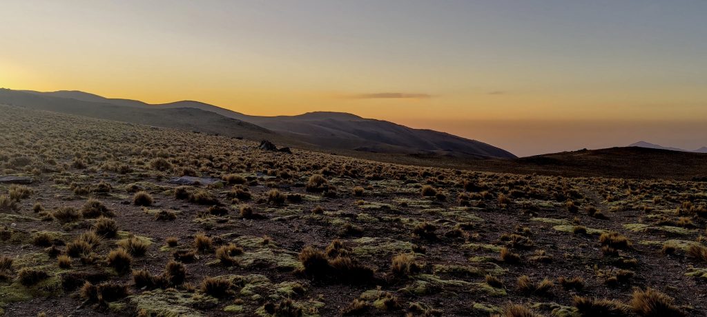
Late in the evening, we arrive at the pass where the monument stands, set up our tents, have dinner, and collapse for bed. We could spend the night in a hotel in the nearest village, but we would lose the opportunity to get used to the altitude, if only a little. It is not the best place to spend the night, with buses and cars constantly stopping to rest and piles of people getting out. We were more interested in the practical benefits of this accommodation, so we hardly noticed any inconvenience.

Surrounding mountains

Day 2

We get up early in the morning, have breakfast, pack our bags and tents, and start climbing. Franco gives me a sturdy and very good tent, but it doubles the weight of my backpack. Oh well, it will be good training.

A local cowboy, apparently checking that we’re not doing anything wrong on his property
Rob and Rockinstraw are climbing a slope
Climbing over the fence in several places.

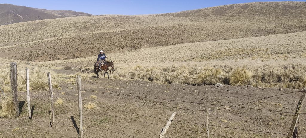
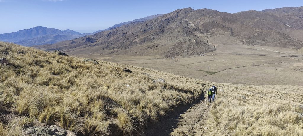
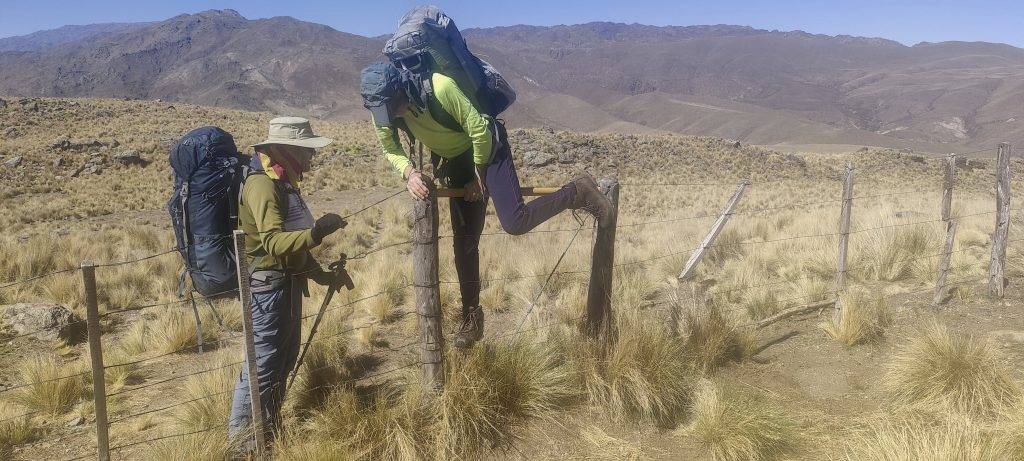
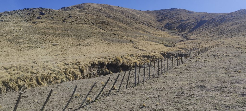
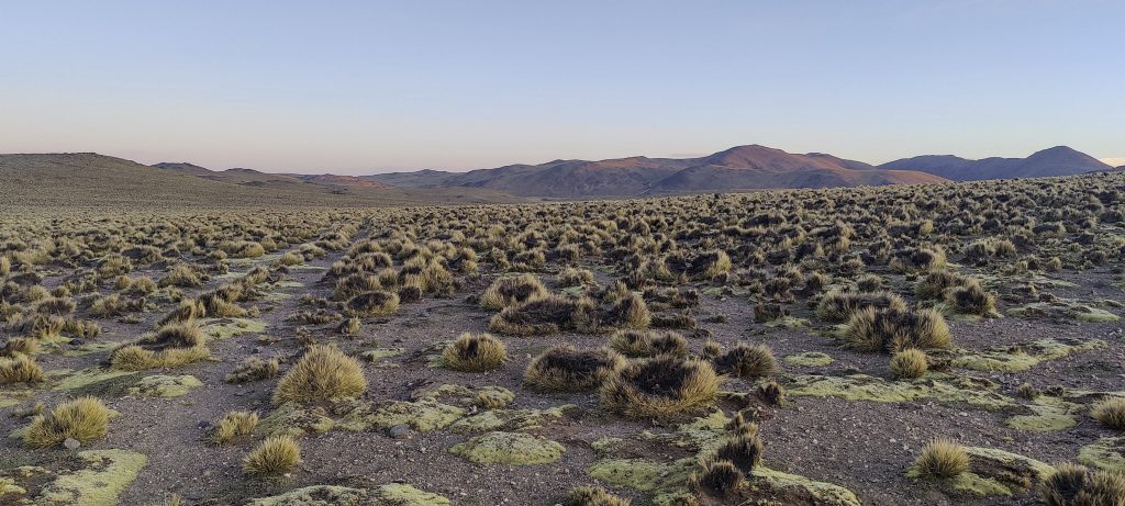
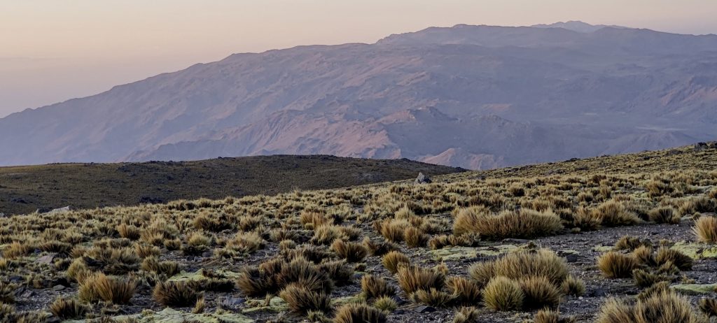
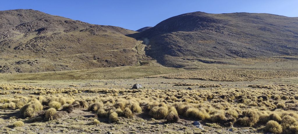
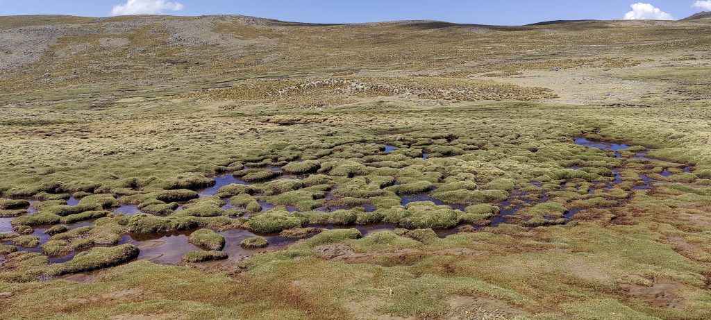
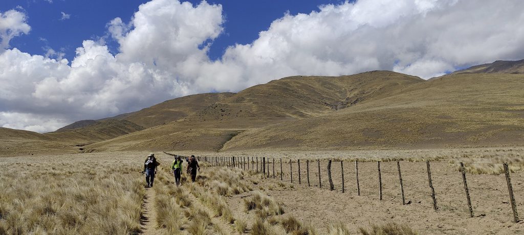
We walk along the fences for a couple of kilometres and have to climb over them several times. Usually there is a special place to cross where several fences meet. It’s not very convenient, but it’s better than wedging your trousers into barbed wire. 

Getting closer to the camp
Guanaco everywhere (Lama guanicoe ??)
View from the camp

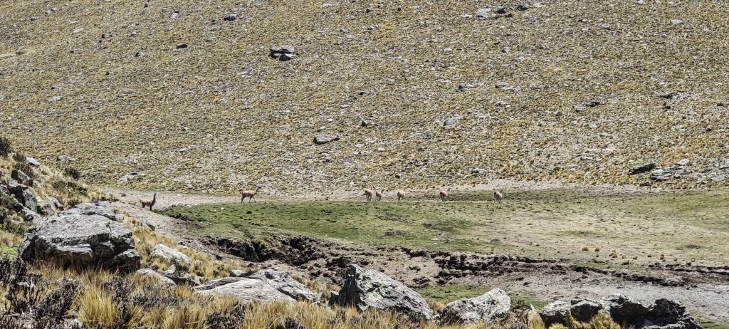
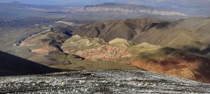
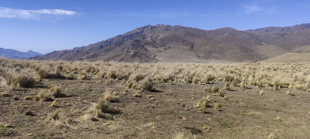
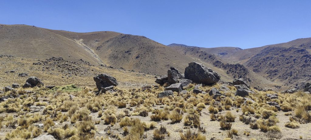
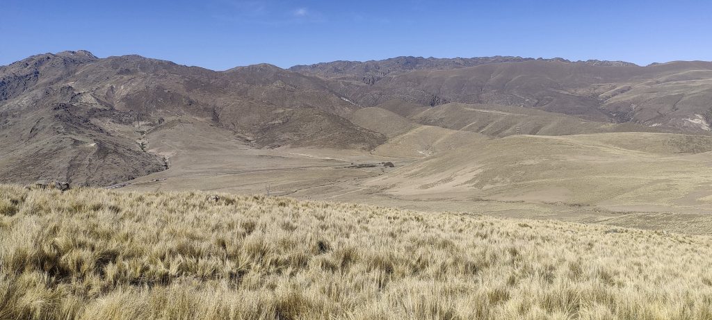
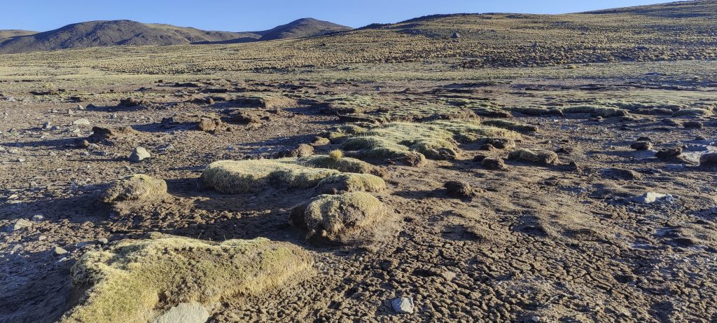
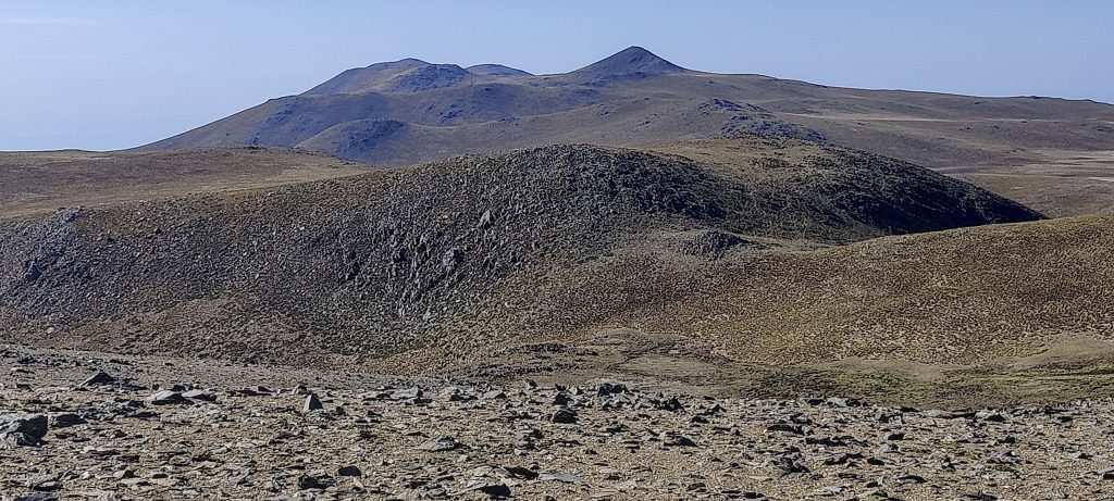
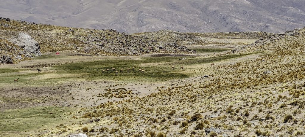
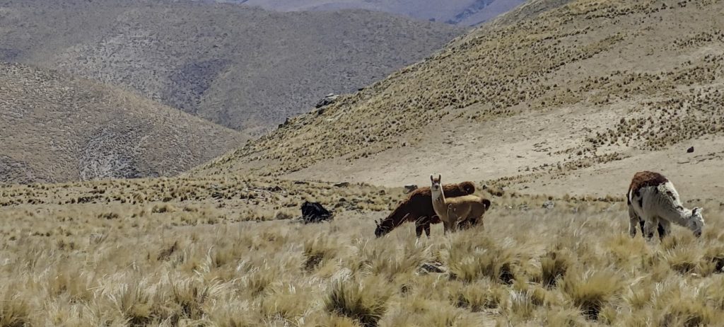
One of the lower peaks has communication towers and a winding, difficult, but passable road leading up to it. We follow it most of the time, and in about 4 hours, we reach the first campsite, which is at 4100 m.

Animal skeletons and bones are everywhere

We have plenty of time and energy, and we could go further, but Franco says enough is enough for today; we need to stop and acclimatize. He is right; I took half an acetazolamide tablet in the evening and in the morning, but my head still hurts. In the morning, the pain goes away, apparently I have started to produce enough red blood cells.

Yareta looks soft as a sponge but is really hard as a stone (Azorella compacta ??)

Day 3

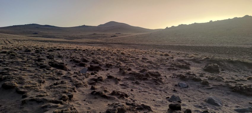
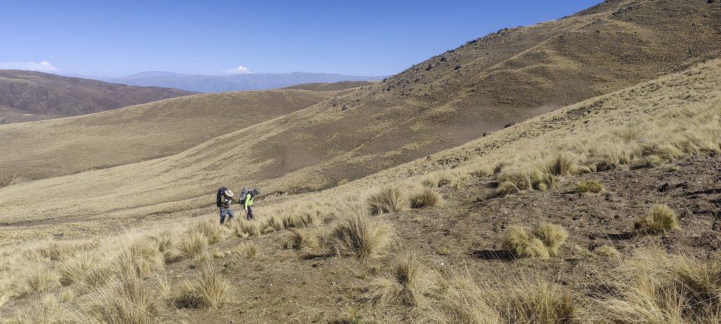
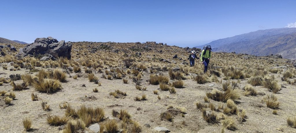
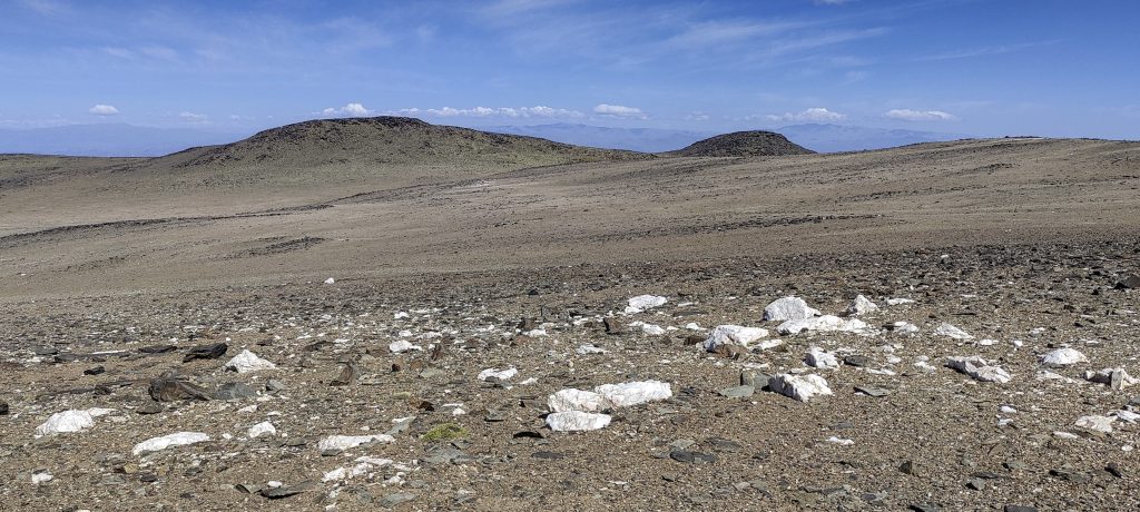
Before the sun rises, we pack our backpacks with just what we need for a day’s hike, have a warm cup of coffee, and head for the summit. A steeper climb at first, then a few kilometres of almost flat walking.

We walk in the dark for a good half an hour, then the sun comes out
Much of the trail is relatively flat
Surrounding views near the top

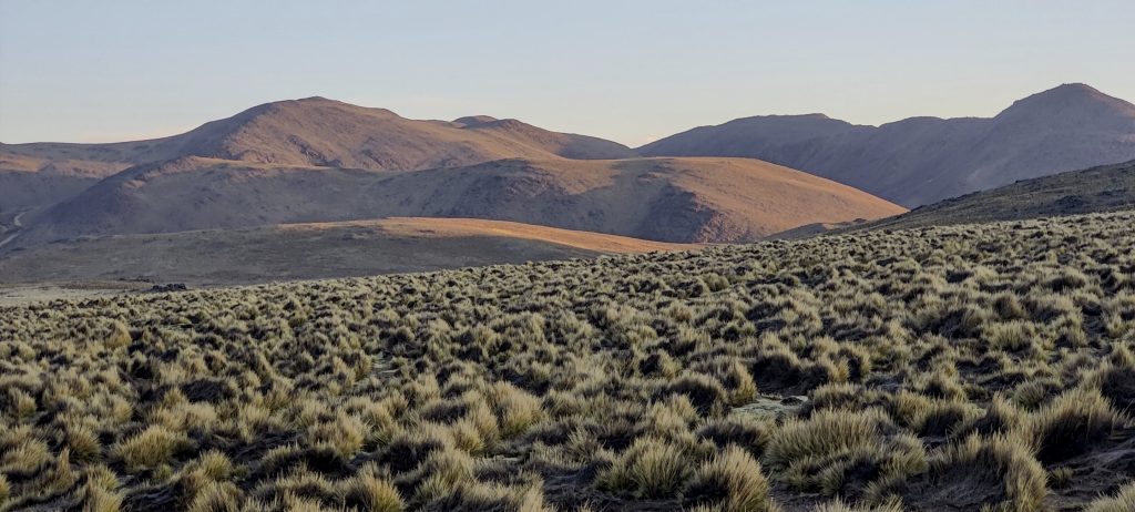
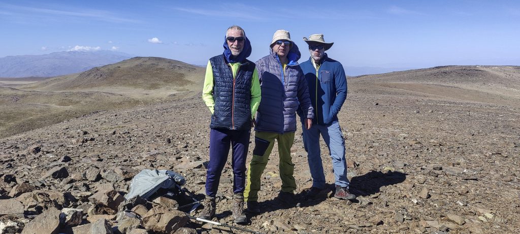
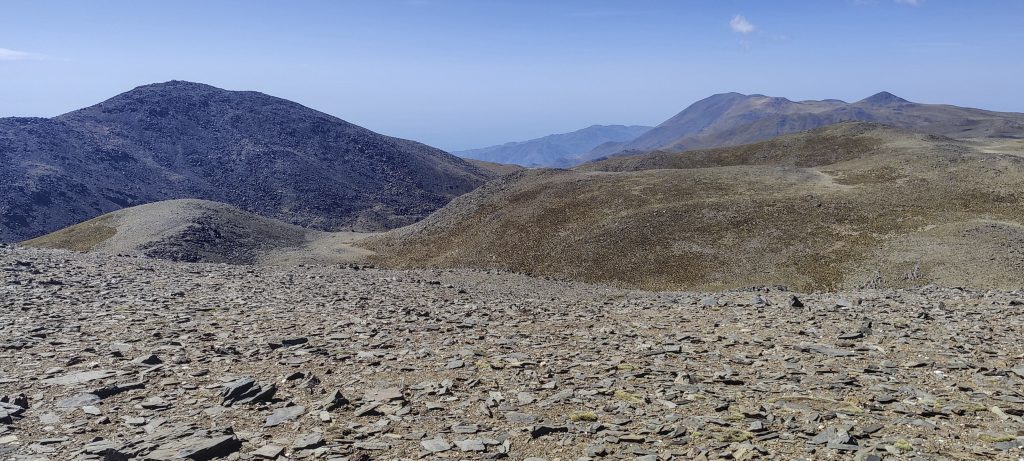
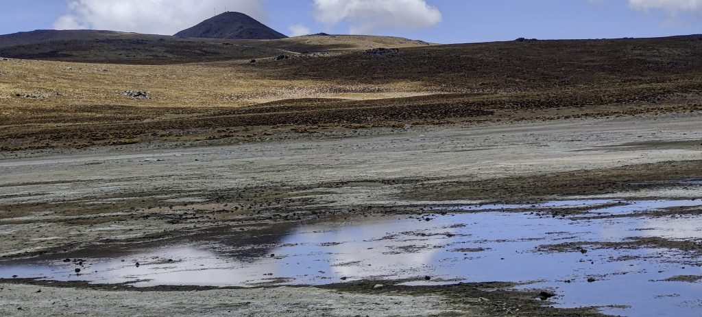
We pass several dry lakes, descend about 70 metres, and then climb up a steeper slope again. A couple of kilometres later, the true summit is visible. We circle around the lower Southwest peak, and on the way back, Rob will visit it and measure the altitude more accurately.

Franco walks on a dry lake
Rob and Rockinstraw are making their way across the lake
Rob, Rockinstraw and me
Climb up the left side of a small ravine

One last not-so-steep climb, and I hear Franco say to me: “Stop.” I look around and see a small pile of rocks. I was genuinely surprised to hear that we had already climbed; I was ready to walk another half kilometre to the next peak. Rob will use the hand level to confirm that the latter is lower.

Rob (left), Rockinstraw (right), and me (middle) at the top
The adjacent peak is slightly lower

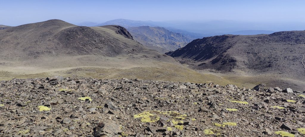
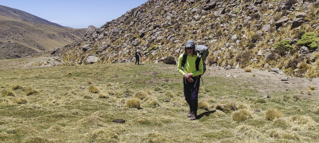
Great weather, some wind, and spectacular views. We reach the top in about five hours. Ten minutes later, we head back along the same road; it takes us about a couple of hours to reach the upper camp.

Views from the summit

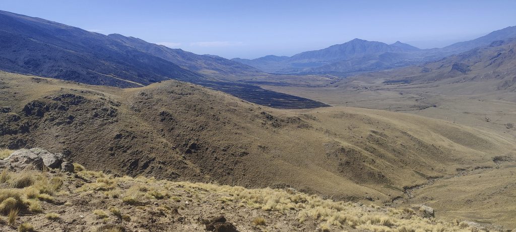
After a little rest at the camp, we pack up our tents and head down. A few hours later, we’ll reach the car.

Views on descent
Cerro Negrito – 4610 m,  is the more frequently visited peak
Future fossil hunters will find them and be ecstatic
Guanaco (Lama guanicoe ??)
Our camp on the other side of the guanaco field
Going back to the car
Domestic guanacos

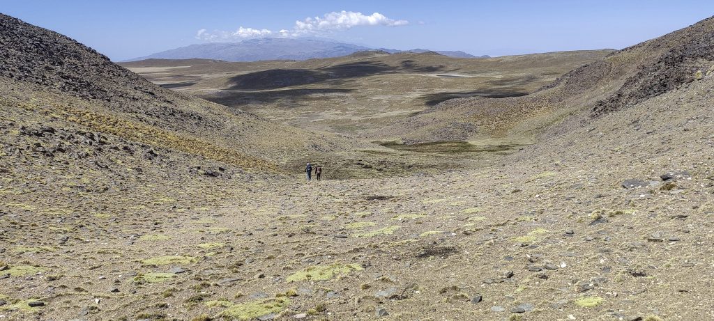
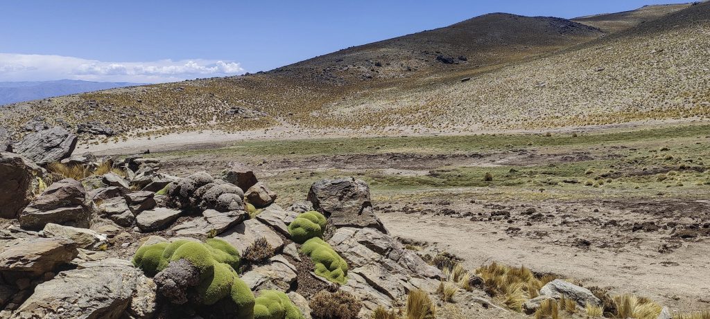
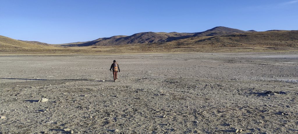
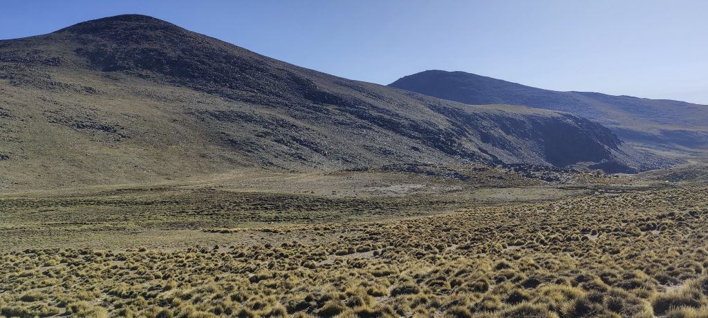
A pleasant walk on relatively gentle slopes with plenty of space and stunning views. And above all, we are more prepared to climb higher mountains. The weather forecast has postponed Cerro Bolsón de los Cerillos for a few days, so we are heading towards Cerro Malcante and will try to climb it day after. On the way we will stop in Cafayate and Cachi. In Cachi we will have short walk to Cerro Altar


Cumbres Calchaquies 4740 m altitude
1688 m prominence
43.16 km isolation
Ranges South America - Andes - Puna de Atacama
Countries/regions Argentina - Tucumán
Distance 19.00 km up 19.00 km down
Elevation 2107 m gain 2107 m loss
Time
10h30 up
11h15 other
6h00 down
27h45 total
Trailhead 2930 m altitude -26.7401940, -65.7727770
Links GPX trail
  • Andes 2022
  • « Calchaquí Valleys
  • Cerro Altar »

Mountain Ranges

Anatolia
Taurus Mountains
Western Anatolia
Andes
Puna de Atacama
Atlas Mountains
High Atlas
Northwestern Atlas
Central America Ranges
Costa Rica-Panama Ranges
Central Central America
Eastern Europe Ranges
Southeast Baltic Plains
Iberian Peninsula
Cordillera Cantabrica
Castile Ranges
Portugal-Galicia
Pyrenees
Malay Archipelago
Java
Nusa Tengarra
Sulawesi
Sumatra
Northwest Europe
Great Britain
North France-West Rhine Area
Southeast South America
Pampas
Sierras de Cordoba
West Africa Mountains
Bight of Benin
Cameroon Mountains

Countries / regions

Algeria
Ain Guezzam
Ain Salah
Aïn Témouchent
El Bayadh
Ghardaïa
Oran
Ouargla
Saïda
Sidi Bel Abbès
Tamanrasset
Argentina
Catamarca
Ciudad Autónoma de Buenos Aires
Córdoba
Jujuy
Salta
Tucumán
Belgium
Brussels Capital Region
Flemish Region
Cameroon
Southwest
Costa Rica
Alajuela
Cartago
Guanacaste
Heredia
Limón
San José
Czechia
Prague
Denmark
Greenland
France
Hauts-de-France
Germany
Berlin
Niedersachsen
Indonesia
Bali
Jambi
Jawa Tengah
Jawa Timur
Nusa Tenggara Barat
Sulawesi Tengah
Sulawesi Utara
Sumatera Barat
Lithuania
Vilnius County
Morocco
Béni Mellal-Khénifra
Drâa-Tafilalet
Fez-Meknes
Marrakesh-Safi
Souss-Massa
Tangier-Tetouan-Al Hoceima
Netherlands
Gelderland
Noord-Holland
Zeeland
Nicaragua
Chinandega
Managua
Masaya
Rivas
Poland
Greater Poland Voivodeship
Masovian Voivodeship
Portugal
Castelo Branco
Leiria
Lisbon
Santarém
São Tomé and Príncipe
São Tomé Province
Spain
Aragón
Asturias
Castilla-La Mancha
Castilla y León
Switzerland
Zürich
Turkey
Antalya
Isparta
Muğla
United Kingdom
England
Scotland
United States
Delaware
Florida
Maryland
New Jersey
New York
South Carolina
Pennsylvania

TRIPS

2023
West Africa II 2023
Iberian Peninsula 2023
West Africa 2023
Central America 2023
2022
Andes 2022
Northwest Europe 2022
Malay Archipelago III 2022
Malay Archipelago II 2022
Anatolia Mountains 2022
Iberian Peninsula 2022
Atlas Mountains 2022
North France-West Rhine Area 2022

archaeology (3) climb (72) food (2) hike (71) p30 (6) p100 (9) p300 (8) p600 (13) p1000 (5) p1500 (34) ribu (4) sight (35) summary (11) ultra (34)

843 km walked, 65 330 m climbed

©2023 p600.org | WordPress Theme by Superbthemes.com