Skip to content
Menu
p600.org
  • home
  • map
  • trips
  • about
p600.org

Mount Labo

hike | 2023-04-22

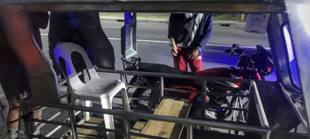
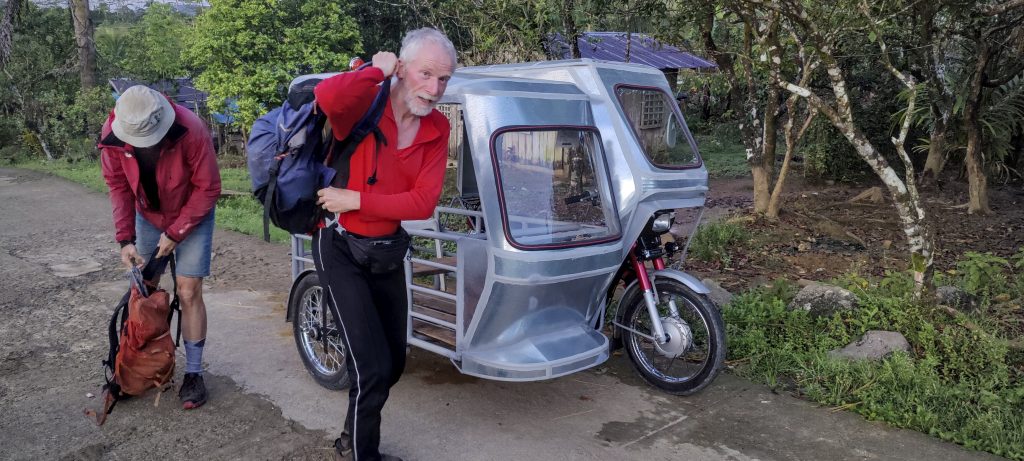
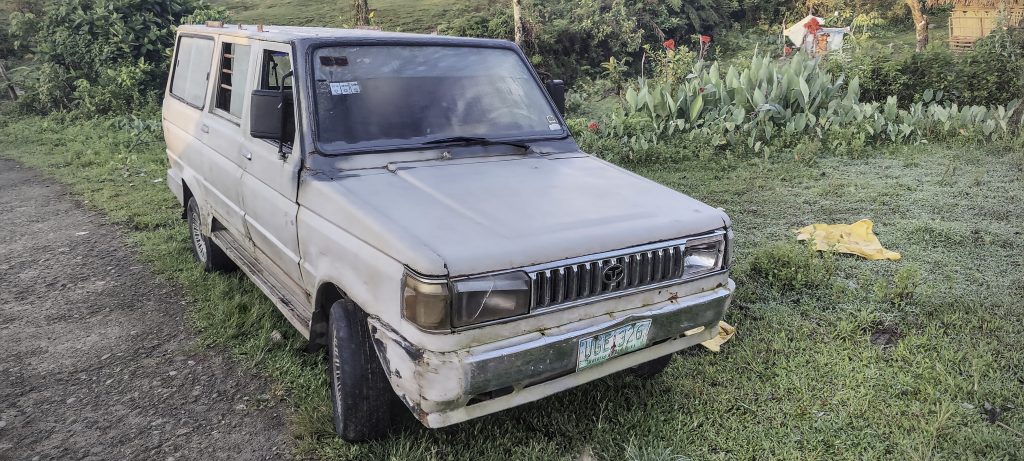
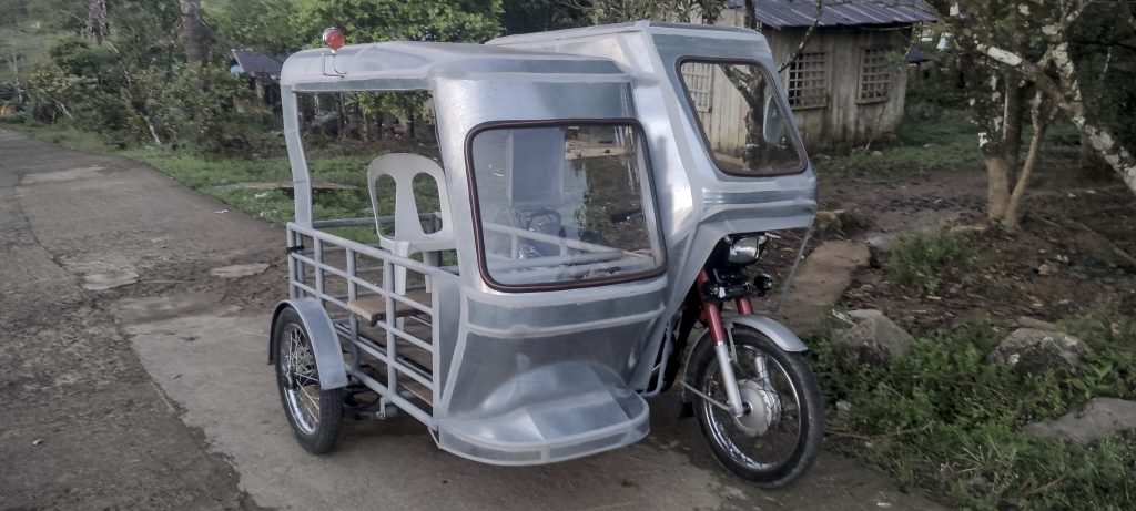
Mount Labo – an interesting and remote Ultra mountain – had no peakbagger reports and little information. So we got up early in Daet, met our trike driver, and drove almost an hour to the trailhead near the village of San Isidro. After formal registration, we were introduced to the local guide and soon began our longish hike. We were unsure about the distance; somewhere we found out that the round trip would be 38 km. No problem, except that on the map it looked more like a 20 km roundtrip walk. But this time the maps hid a lot of bends, curves, and roundabouts. In the end, we walked just over 37 km.

Early morning trike ride with VIP plastic seat in the back
A few huts and retro cars along the way

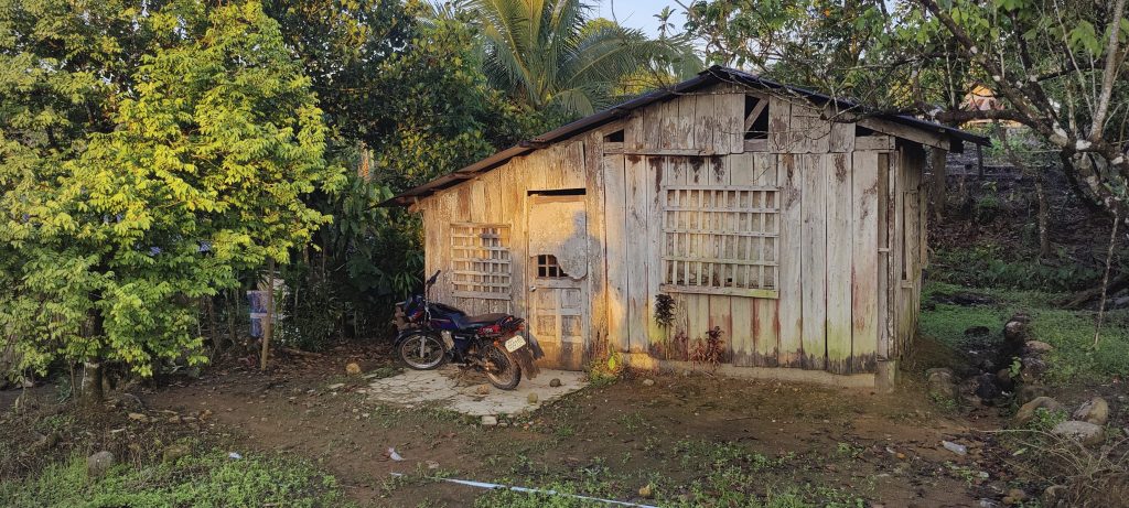
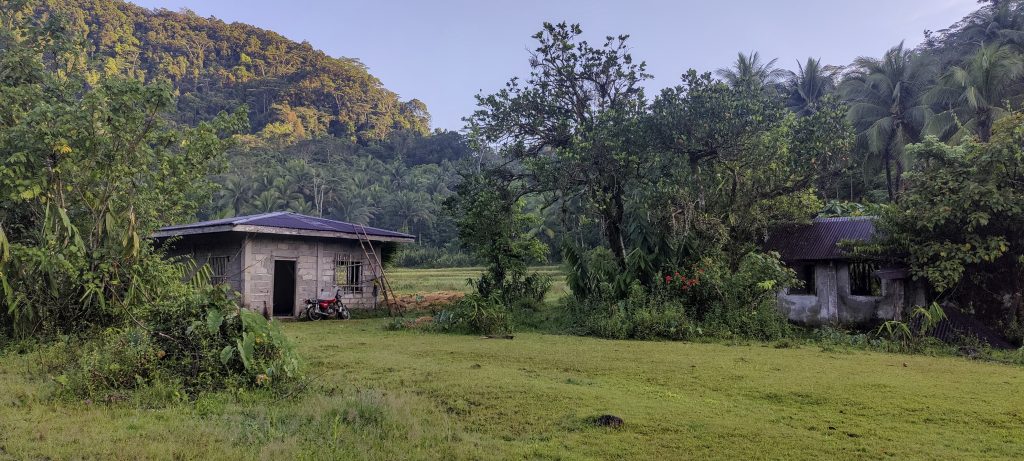
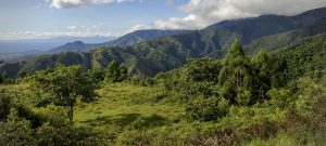
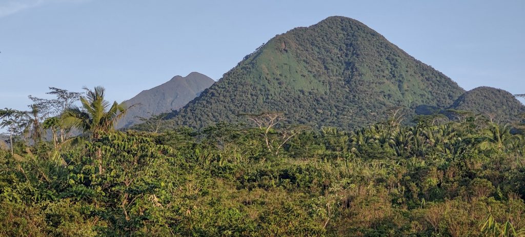
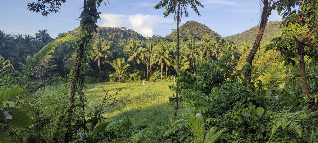
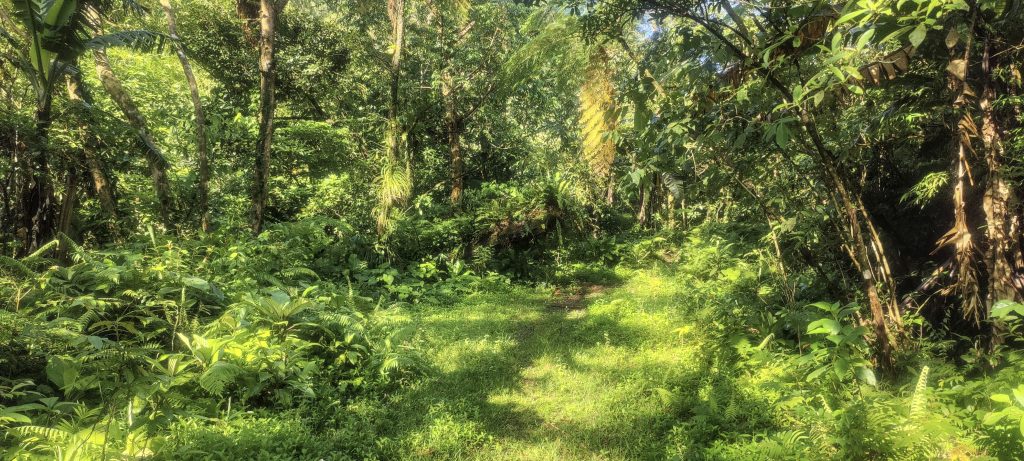
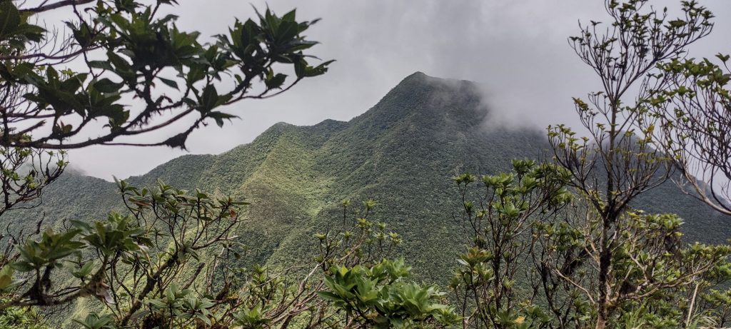
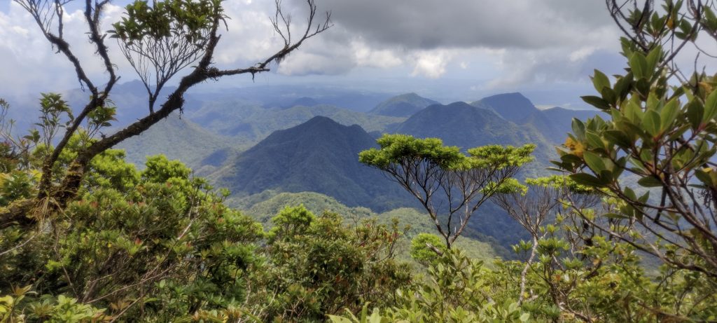
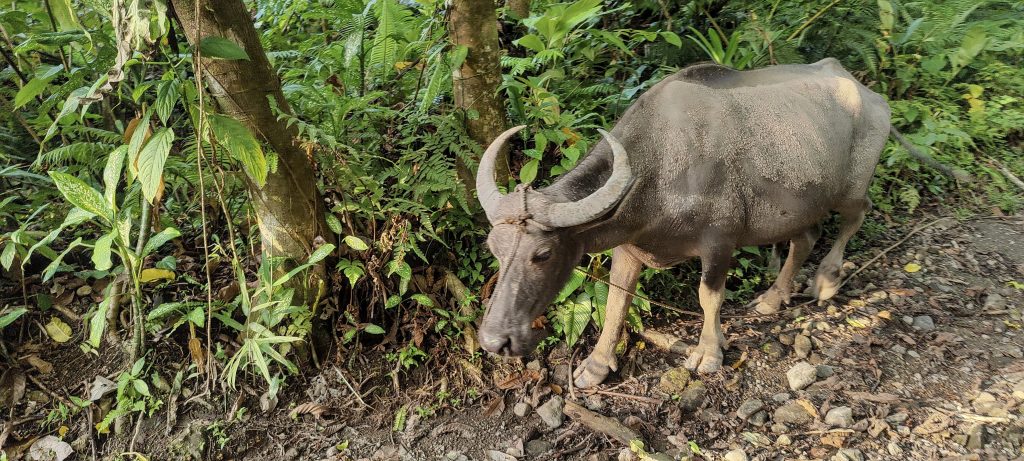
At first, we walk through rice fields, farmland, and inhabited areas. I think a motorbike can be used for a few kilometers before the road becomes impassable. The beautiful clear sky in the morning allows us to see the surrounding green peaks and possibly our summit too.

The summit is somewhere in the background
Rice fields
Green scenery most of the day
Shell ginger, also known as Alpinia zerumbet, is a perennial species of ginger native to East Asia, sometimes called pink porcelain lily, variegated ginger or butterfly ginger.
One of the few river crossings

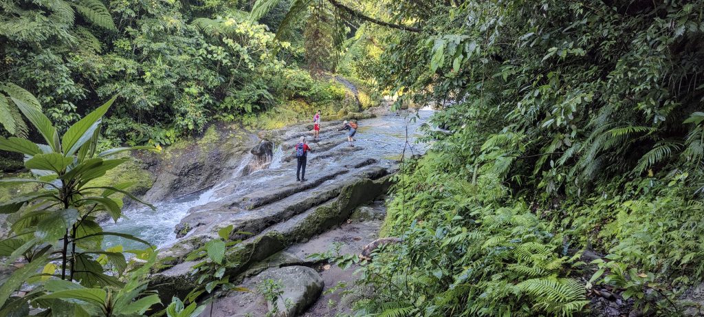
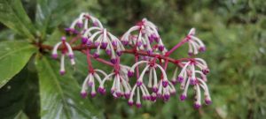
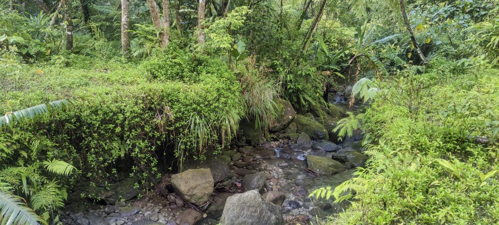
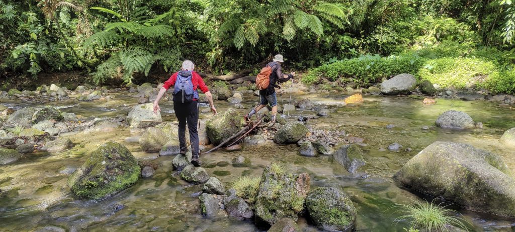
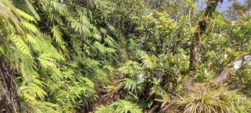
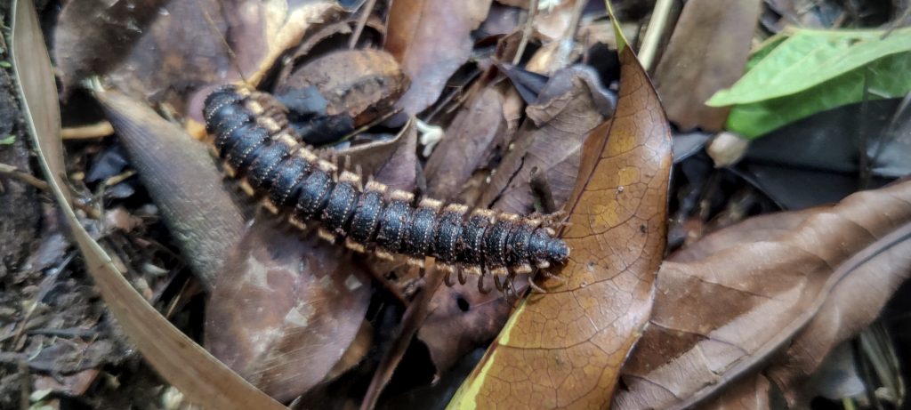
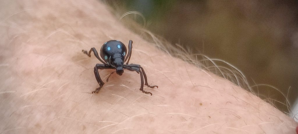
The local guide says we will cross seven rivers, and although I count slightly fewer, it depends on how you define a river. Luckily, our shoes stay dry as all the crossings are on stony paths. The bigger problem is the leeches on the trail; in some places, it’s difficult to avoid them, so the only option is to keep moving. On the way back, a local guide uses a stick to coax a snake out of our path.

Surprisingly good trail in places and few small streams to cross
Very green all around, a good place to get a sense of remoteness
Another small river to cross
Strange plants along the way and few boundary markers at the top
Petter, Rob and I on the summit (left to right)

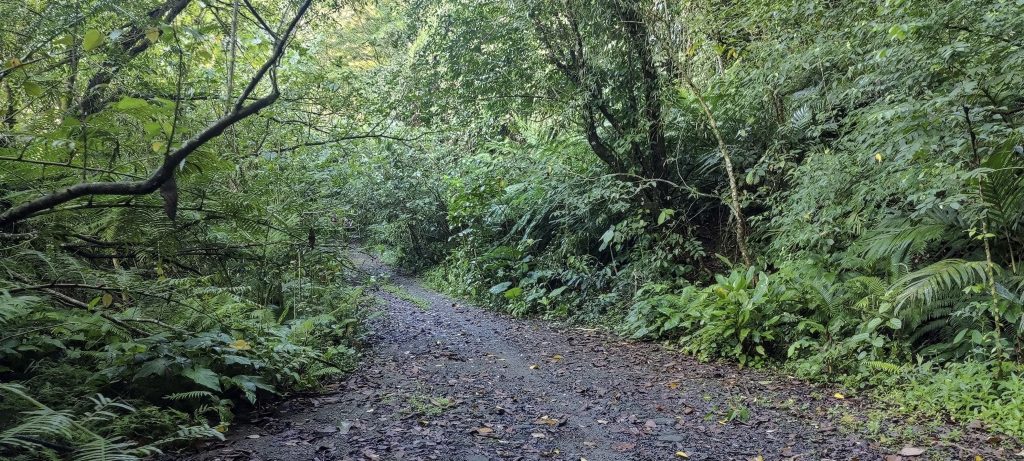
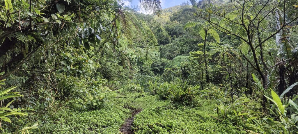
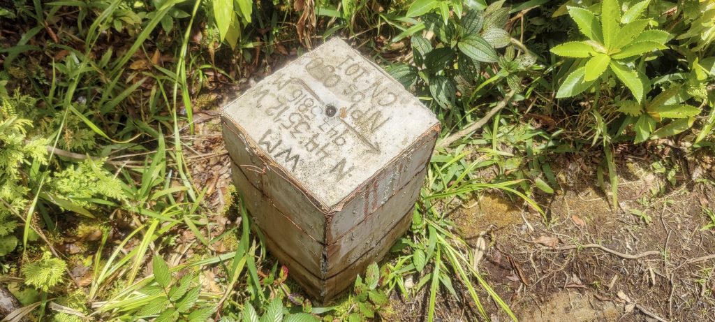
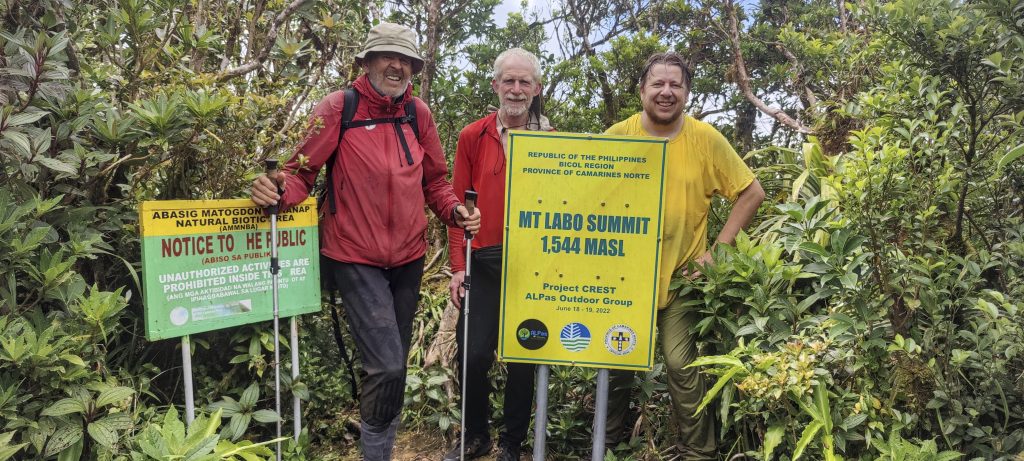
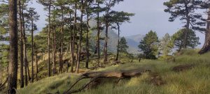
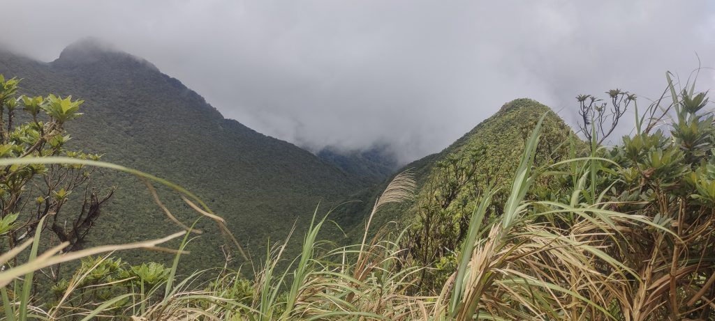
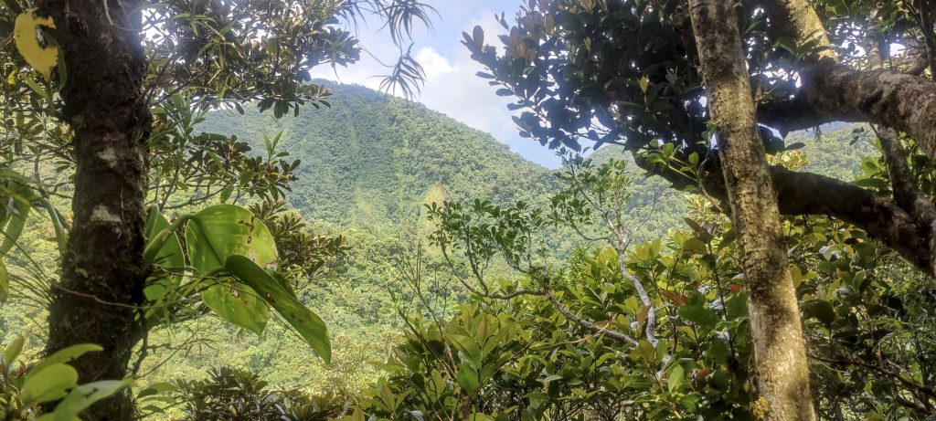
Most of the long walk is very gradual and easy. A few kilometers from the summit, we walk on the ridge, which has a few re-ascents, but nothing bad, with a short scramble section. The last part to the summit is a steeper climb in the jungle, but again nothing complicated. At the summit, we find a couple of boundary markers (one is a few hundred meters away), a plaque with the name of the summit, and the altitude. This peak is only 24 meters higher to be classified as an Ultra. There is a small risk that we would find it lower, but all goes well, and we confirm the maps with GPS readings that are accurate enough to ensure a flawless Ultra definition. There are some nice views through the trees to the lower northeast summit. Rob confirms with a hand level – it is lower. After a short break, we head back the same way.

Views from the summit to the slightly lower north-east peak
Views from the summit
Side views on the way down
The jungle trail that we shared with the leaches
A green landscape all around
Pitfall traps, carnivorous plants, have a deep cavity filled with digestive fluid that acts as a trapping mechanism for insects.
Centipede or maybe caterpillar ??
Four dotted azure … ok have no clue.. maybe Weevils ??
The showy medinilla or rose grape, Medinilla magnifica, is a species of flowering plant native to the Philippines
A species of plant in the ginger family, Zingiber zerumbet, is native to Asia but can be found in many tropical countries. It has several common names, including awapuhi, bitter ginger, shampoo ginger, lempoyang and pine cone ginger.
Roseleaf bramble, also known as Rubus rosifolius, Mauritius raspberry, thimbleberry, Vanuatu raspberry and bramble of the Cape, is a prickly sub-shrub native to rainforests and tall open forests of the Himalayas, East Asia and eastern Australia.. Eatable but tasteless comparing to the european
Another small stream to cross
Noisy forest
No idea what it is, and little desire to explore.
The Peace Lily, also known as the White Sail or Spathe Flower, is a species of plant called Spathiphyllum wallisii ??.
Again no idea ??
Very unusual and interesting plant. Jade vine, also known as emerald vine or turquoise jade vine, is a species of leguminous perennial liana (woody vine) that is native to the tropical forests of the Philippines and is scientifically known as Strongylodon macrobotrys.
A lot of shell gingers. Alpinia zerumbet
Tagbak fruit, but little info found. It was a nice offer from the local guide to try it. A bit sweet, a bit sour, lots of seeds, but generally good.
Rice fields

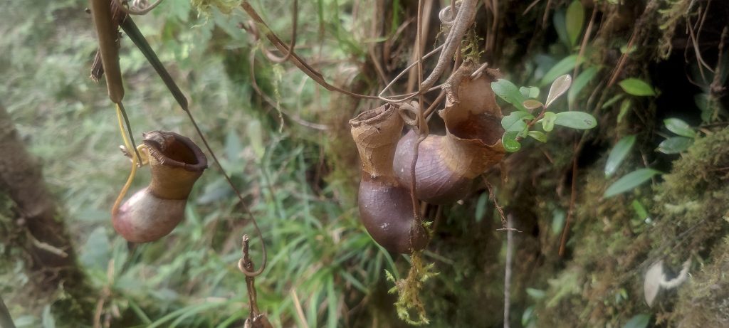
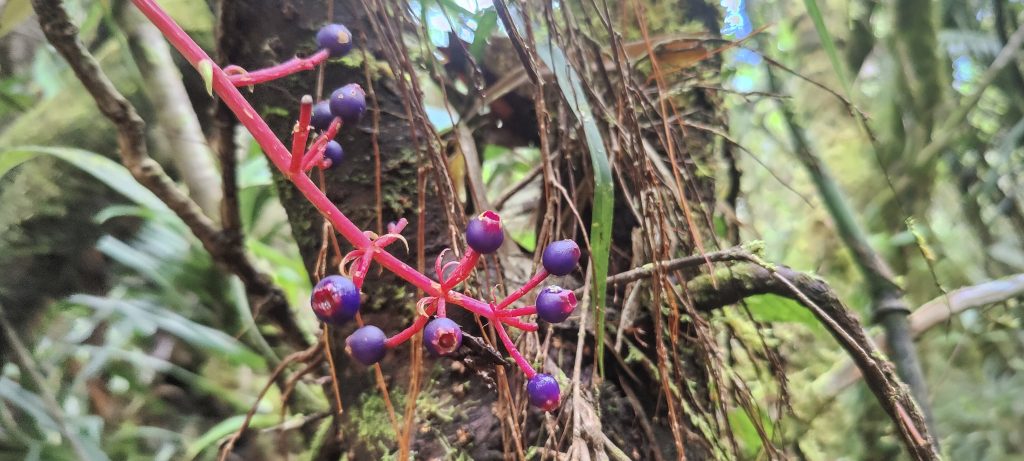
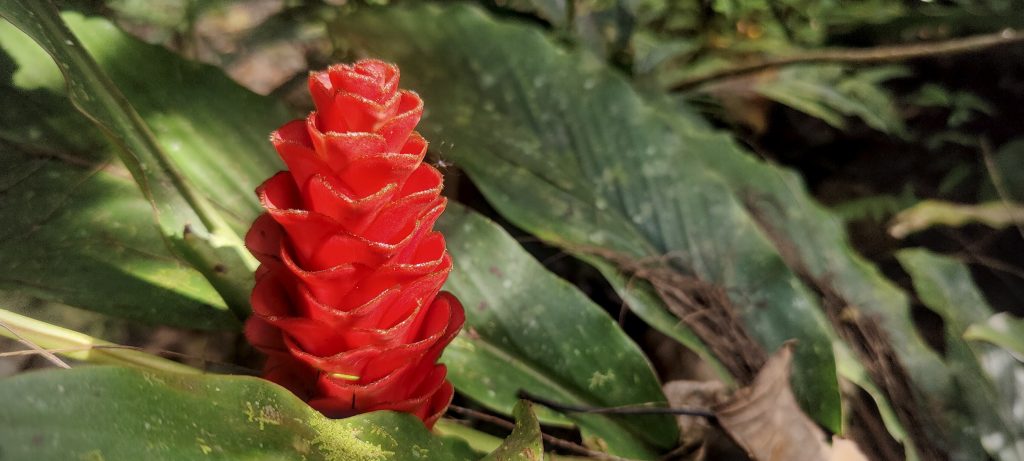
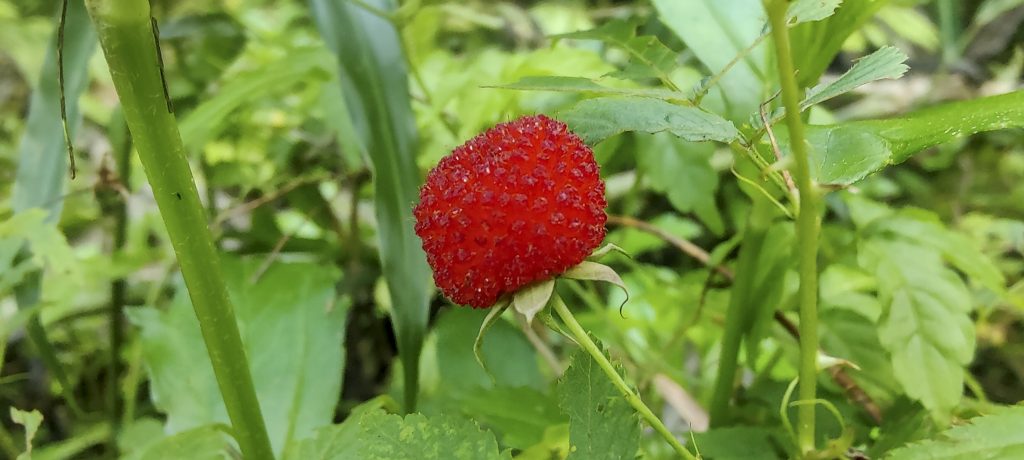
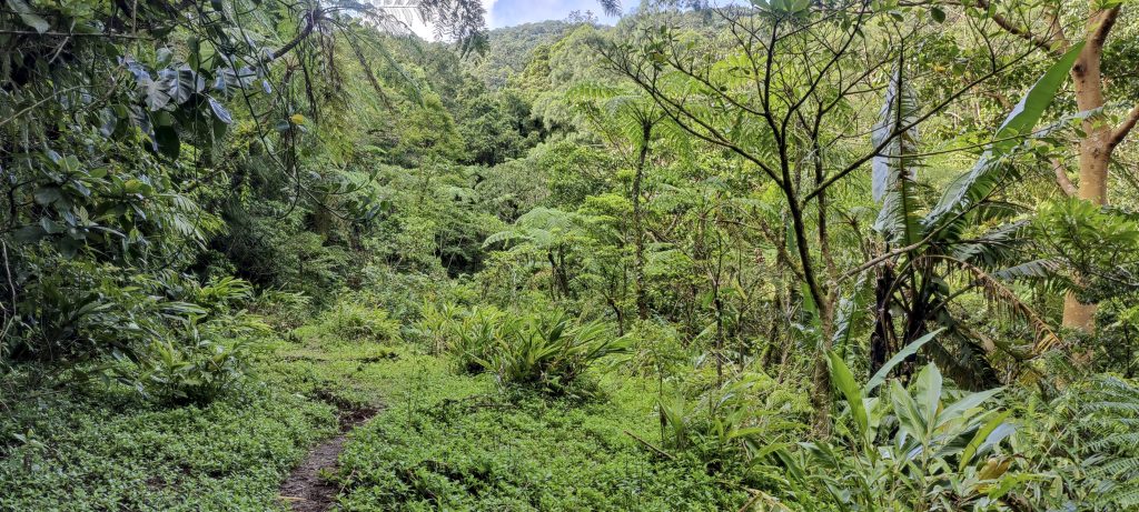
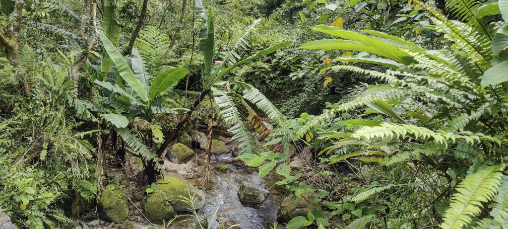
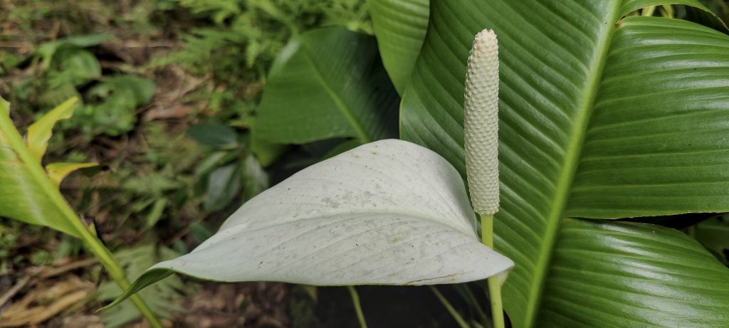
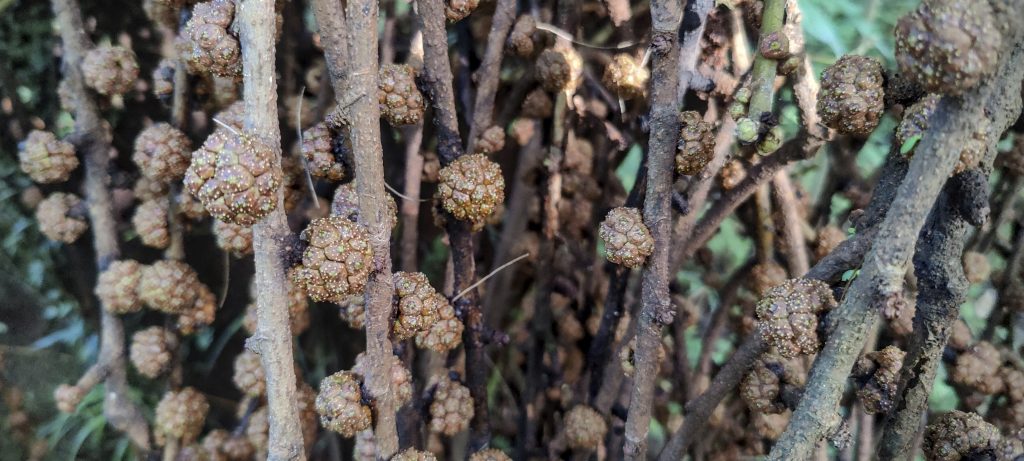
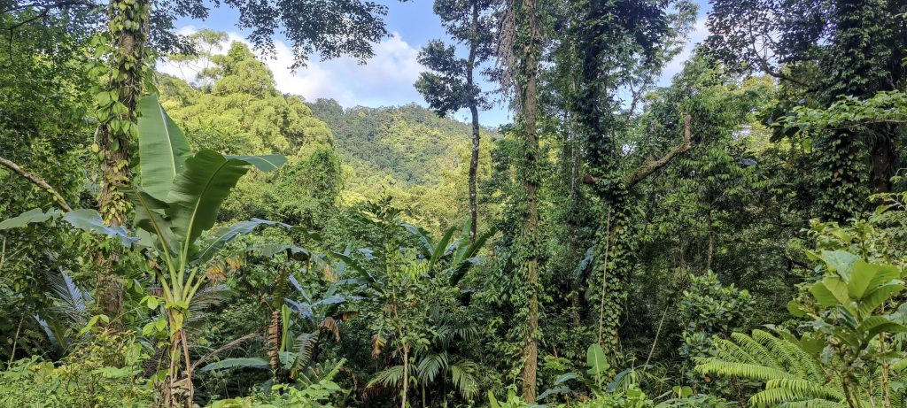
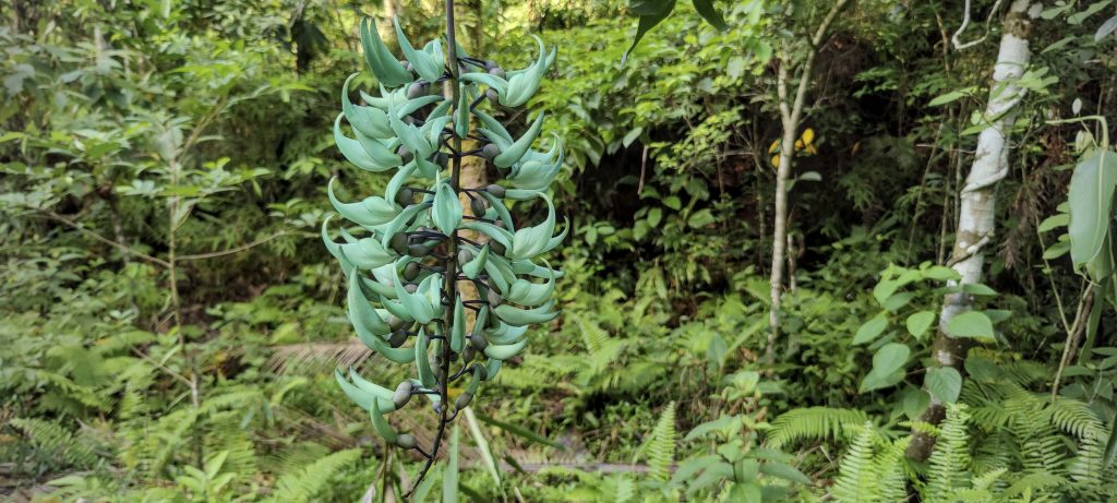
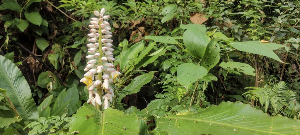
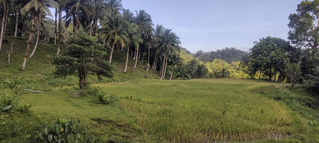
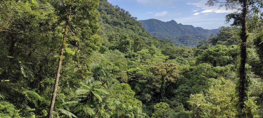
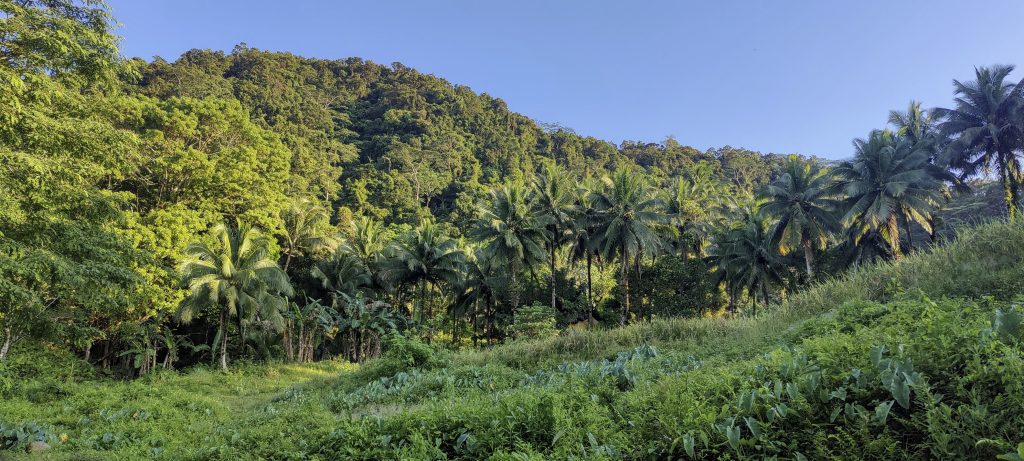
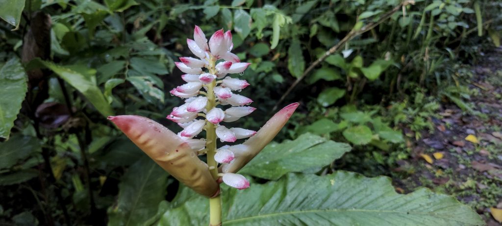
Unspoiled nature and very green scenery for most of the walk. Quite a few miles, but for me, it’s a top-rated hike, definitely worth the effort. We have returned to our rented apartment and will try to catch a bus to Manila tomorrow morning. There we will meet up with Win and head for another ultra mountain – Mount Tapulao.


Mount Labo1544 m altitude
1524 m prominence
73.55 km isolation
RangesPhilippines - Luzon
Countries/regionsPhilippines - Calabarzon (IV-A)
Distance18.50 km up18.50 km down
Elevation1641 m gain1641 m loss
Time
6h00 up
0h05 other
6h00 down
12h05 total
Trailhead281 m altitude13.9921940, 122.8561940
RouteWe start at the registration office, walk through agricultural fields, then cross some rivers. We keep our shoes dry as the rivers are not deep. It's a long and not steep walk in the jungle, only the last few hundred meters to the top are a bit steeper. We come back the same way.
DifficultiesQuite a remote summit and quite a few leeches on the lower part.
LinksGPX trail
  • Philippines 2023
  • « Mount Isarog
  • Mount Tapulao »

Mountain Ranges

Anatolia
Central Anatolia
Pontic Mountains
Southeast Anatolia
Taurus Mountains
Western Anatolia
Andes
Puna de Atacama
Atlas Mountains
High Atlas
Northwestern Atlas
Central America Ranges
Costa Rica-Panama Ranges
Central Central America
East China
Taiwan
Eastern Europe Ranges
Southeast Baltic Plains
Iberian Peninsula
Cordillera Cantabrica
Castile Ranges
Portugal-Galicia
Pyrenees
Intermountain West
Great Basin Ranges
Korea-Amur Area
Taebaek Sanmae
Malay Archipelago
Java
Nusa Tengarra
Sulawesi
Sumatra
Mid-Atlantic Islands
North Atlantic Islands
Mongolia Ranges
Altai
Gobi Desert Ranges
Hangay Mountains
Northwest Europe
Great Britain
North France-West Rhine Area
Pacific Ranges
Cascade Range
Northwest U.S. Coast Ranges
Sierra Nevada
Central and Southern California Ranges
Philippines
Central Philippines
Luzon
Mindanao
Southeast Asia
Malay Peninsula
Southeast South America
Pampas
Sierras de Cordoba
Southern Africa
Malawi Highlands
West Africa Mountains
Bight of Benin
Cameroon Mountains
Guinea Highlands

Countries / regions

Algeria
Ain Guezzam
Ain Salah
Aïn Témouchent
El Bayadh
Ghardaïa
Oran
Ouargla
Saïda
Sidi Bel Abbès
Tamanrasset
Argentina
Catamarca
Ciudad Autónoma de Buenos Aires
Córdoba
Jujuy
Salta
Tucumán
Belgium
Brussels Capital Region
Flemish Region
Cameroon
Southwest
China
Taiwan
Costa Rica
Alajuela
Cartago
Guanacaste
Heredia
Limón
San José
Czechia
Prague
Denmark
Greenland
France
Hauts-de-France
Occitania
Germany
Berlin
Niedersachsen
Indonesia
Bali
Jambi
Jawa Tengah
Jawa Timur
Nusa Tenggara Barat
Sulawesi Tengah
Sulawesi Utara
Sumatera Barat
Lithuania
Vilnius County
Mongolia
Bayankhongor
Govi-Altai
Khovd
Omnogovi
Ovorkhangai
Ulan Bator
Zavkhan
Morocco
Béni Mellal-Khénifra
Drâa-Tafilalet
Fez-Meknes
Marrakesh-Safi
Souss-Massa
Tangier-Tetouan-Al Hoceima
Mozambique
Zambezia
Netherlands
Gelderland
Noord-Holland
Zeeland
Nicaragua
Chinandega
Managua
Masaya
Rivas
Philippines
Bicol Region (V)
Cagayan Valley (II)
Calabarzon (IV-A)
Central Luzon (III)
Cordillera Administrative Region
Davao Region
Metro Manila
Soccsksargen (XII)
Western Visayas (VI)
Poland
Greater Poland Voivodeship
Masovian Voivodeship
Portugal
Castelo Branco
Leiria
Lisbon
Madeira
Santarém
Qatar
Ad-Dawhah
São Tomé and Príncipe
São Tomé Province
Sierra Leone
Northern Province
Western Area
Singapore
South Korea
Gyeongsangnam-do
Seoul
Spain
Aragón
Asturias
Castilla-La Mancha
Castilla y León
Catalonia
Islas Canarias
Switzerland
Zürich
Turkey
Antalya
Bitlis
Erzincan
Hakkâri
Igdir
Isparta
Kahraman Maras
Muğla
United Kingdom
England
Scotland
United States
California
Delaware
Florida
Maryland
Nevada
New Jersey
New York
Pennsylvania
South Carolina
Utah

TRIPS

2024
Southern Africa 2024
Mid-Atlantic Islands 2024
North America 2024
Anatolia 2024
Korea-Amur Area 2024
East China 2024
2023
Mongolia Ranges 2023
Philippines 2023
West Africa III 2023
West Africa II 2023
Iberian Peninsula 2023
West Africa 2023
Central America 2023
2022
Andes 2022
Northwest Europe 2022
Malay Archipelago III 2022
Malay Archipelago II 2022
Anatolia Mountains 2022
Iberian Peninsula 2022
Atlas Mountains 2022
North France-West Rhine Area 2022

archaeology (3) climb (157) food (2) hike (155) p30 (17) p50 (4) p100 (24) p300 (12) p600 (17) p1000 (11) p1500 (76) ribu (10) sight (46) summary (16) trig (44) ultra (76)

1 591 km walked, 121 298 m climbed

©2025 p600.org | WordPress Theme by Superbthemes.com