Skip to content
Menu
p600.org
  • home
  • map
  • trips
  • about
p600.org

Cerro Nuñorco Grande

hike | 2022-12-11

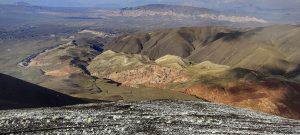
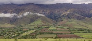
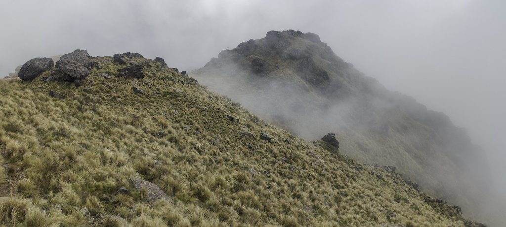
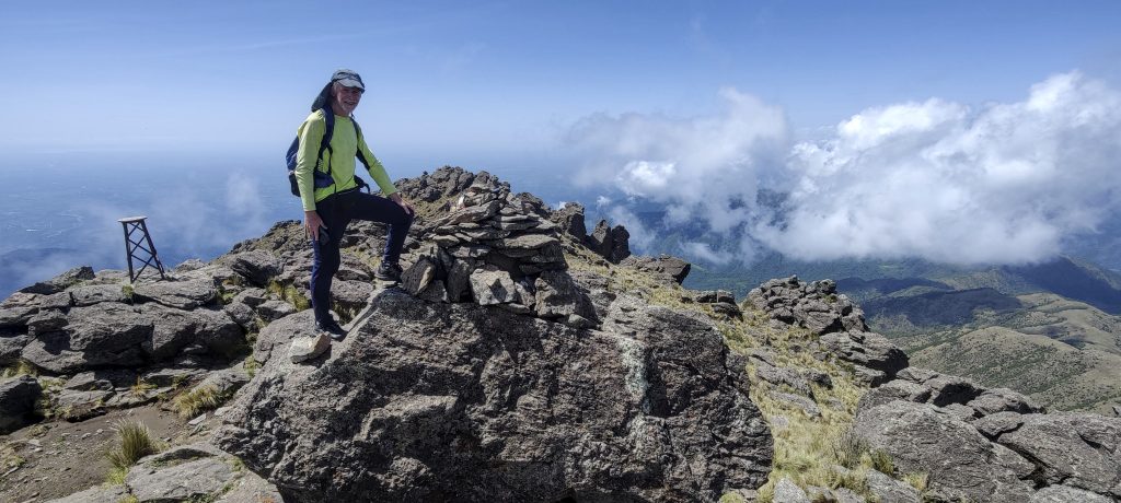
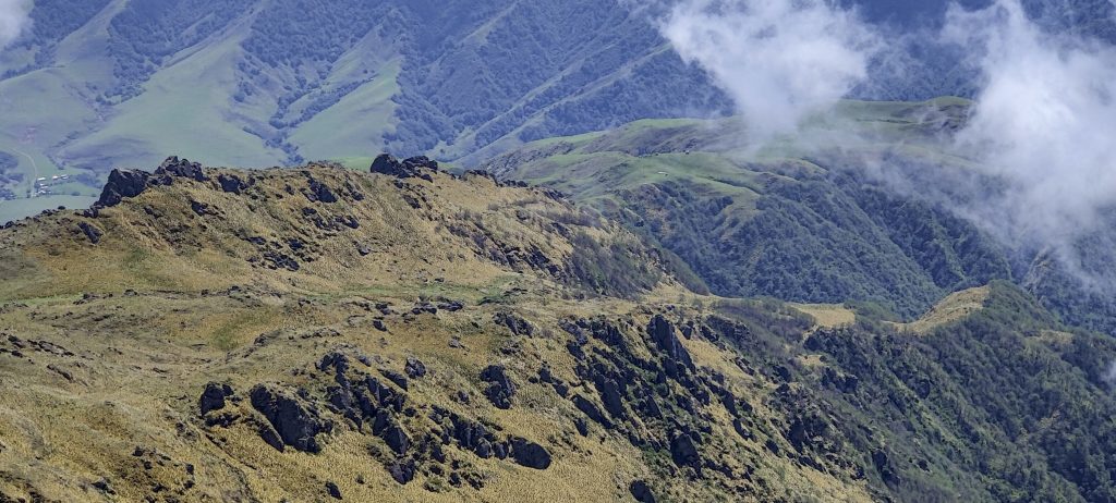
There are no easily accessible ultra peaks around, so we opt for a nicely shaped ribu rising from the Dique la Angostura lake. Franco says that Nuñorco means breast, so we will climb the breast, which has a thousand metres of prominence. The weather is beautiful in the morning. We choose one of several trails and climb up.

In this gully, along the river, towards the ridge
The distant Cumbres Calchaquies can be seen to the right. 
Looking back
The entire Cerro el Pelao, which we hiked yesterday, is visible
Slopes are not very steep
Dique la Angostura lake
Pleasant northwest views

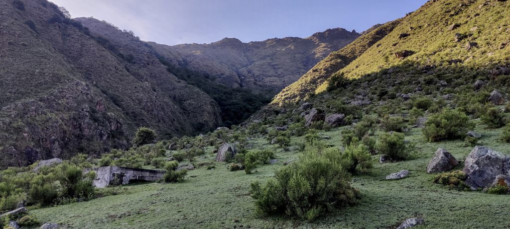
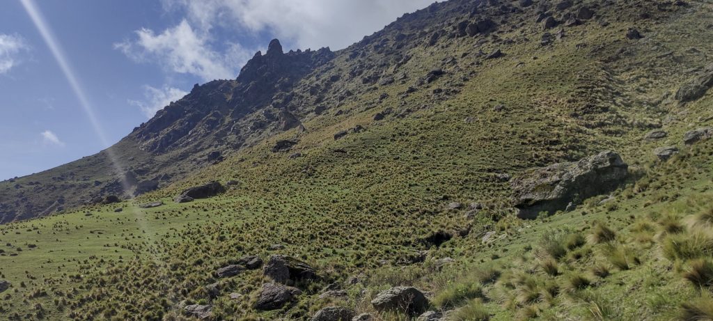
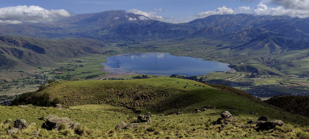
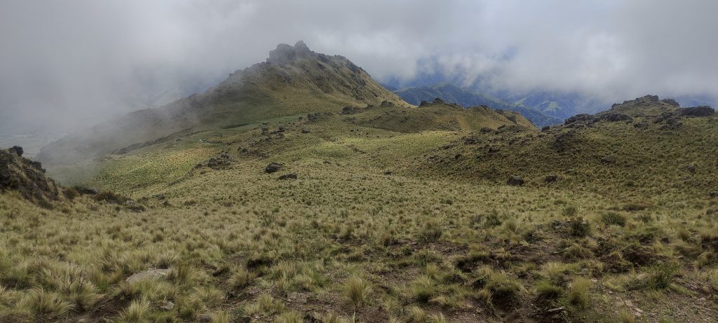
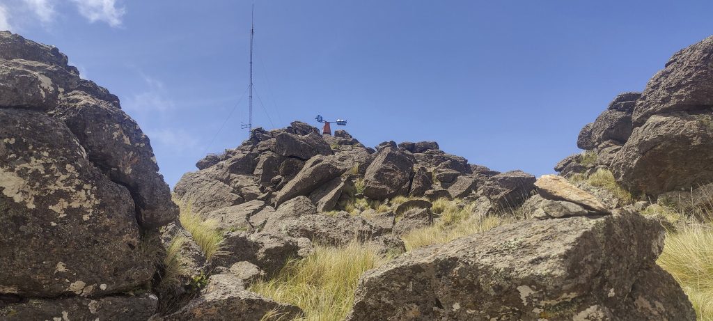
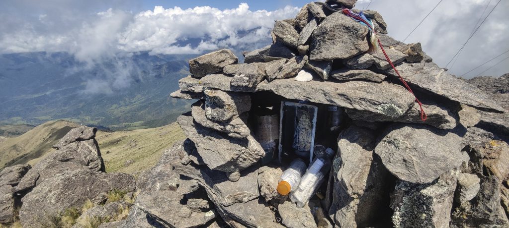
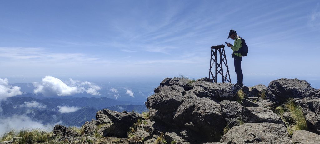
Along the river, up a steep slope, then through meadows to a rocky slope. We reach the ridge, but at some point we lose the trail, and when we find our mistake, we don’t really want to go back. So we head straight to the top. The terrain is not difficult, and there is practically no need for a trail. We climb to the ridge, and after a few minutes, we find ourselves at the top. There is an antenna, an anemometer, and a wooden-metal triangulation pillar. According to Rob, this is the first triangulation pillar he has seen in Argentina. 

Looking back from the ridge
Path through the ridge
Antenna and anemometer visible at the top
There is also a small chapel at the top
We found an unusual triangulation pillar, unusual because it is wooden with metal legs.
Rob measures the altitude at the top and next to the triangulation pillar
View from the summit
The ridge we came from
Downwards views

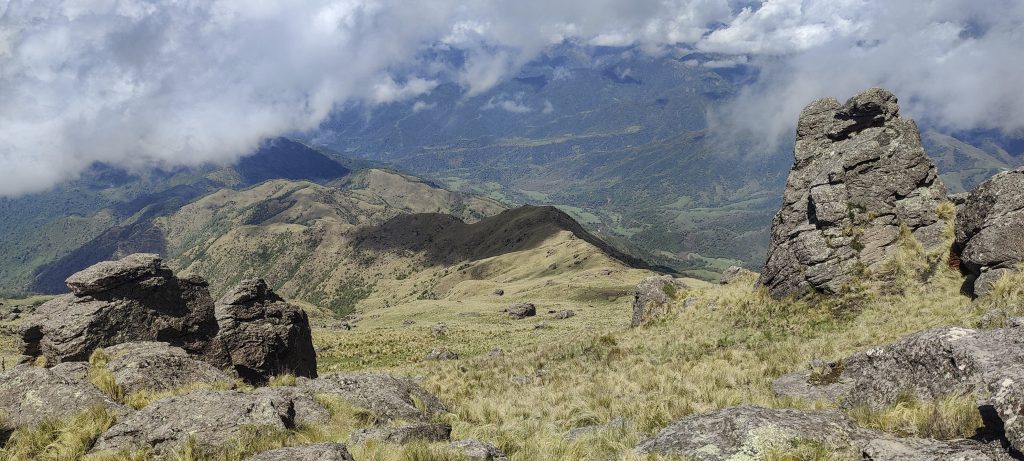
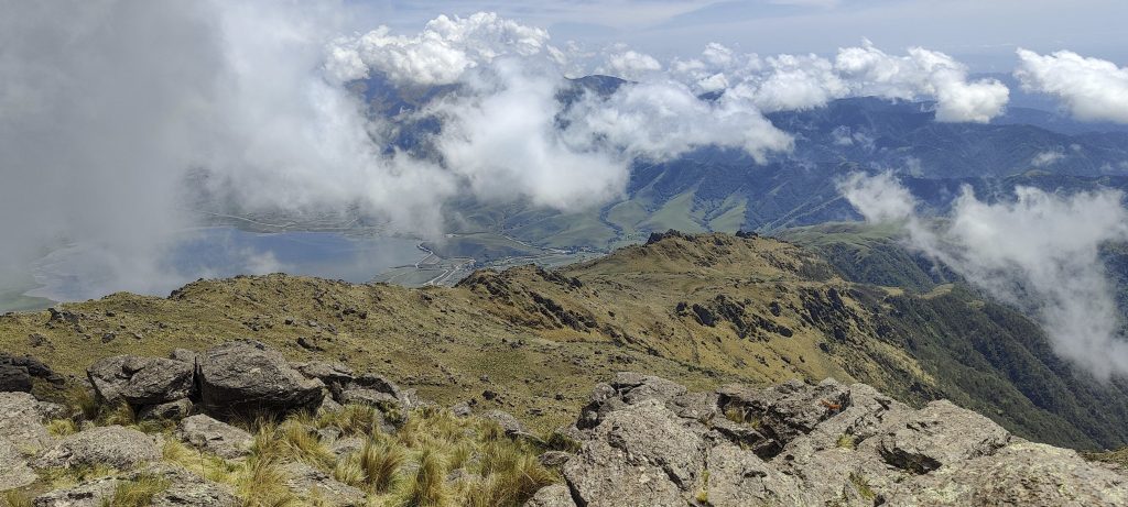
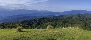
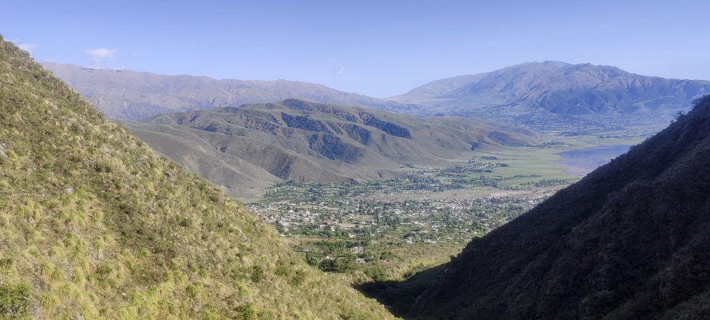
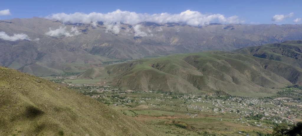
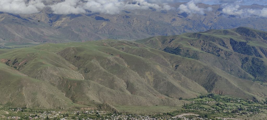
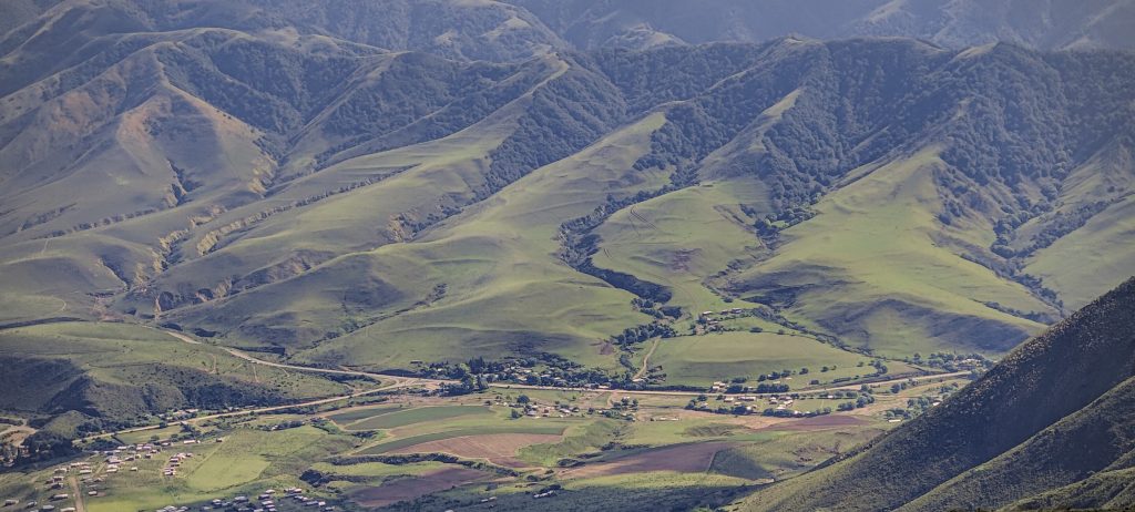
A few minutes later, we descend, this time on a formally marked trail. There are frogs croaking in every puddle. It is very interesting that as we approach, they fall silent as if they had received a centralised signal. Maybe they do.. An hour and a half later, we reach the car and drive towards San Miguel de Tucumán. We will try to visit the small El Balconi P300 today (named by Rob on the basis of what is written on the fence). And tomorrow morning, before the flight, we may still manage to climb to the summit of Cerro Taficillo P600.

Nuñorco Grande Grande Symphonic Orchestra
A lot of nice coloured bushes ??

Cerro Nuñorco Grande3333 m altitude
1093 m prominence
40.59 km isolation
RangesSouth America - Andes - Puna de Atacama
Countries/regionsArgentina - Tucumán
Distance5.50 km up5.70 km down
Elevation1142 m gain1142 m loss
Time
2h45 up
0h10 other
2h00 down
4h55 total
Trailhead2190 m altitude-26.9568880, -65.7137220
LinksGPX trail
  • Andes 2022
  • « Cerro el Pelao
  • El Balconi »

Mountain Ranges

Anatolia
Central Anatolia
Pontic Mountains
Southeast Anatolia
Taurus Mountains
Western Anatolia
Andes
Puna de Atacama
Atlas Mountains
High Atlas
Northwestern Atlas
Central America Ranges
Costa Rica-Panama Ranges
Central Central America
East China
Taiwan
Eastern Europe Ranges
Southeast Baltic Plains
Iberian Peninsula
Cordillera Cantabrica
Castile Ranges
Portugal-Galicia
Pyrenees
Intermountain West
Great Basin Ranges
Korea-Amur Area
Taebaek Sanmae
Malay Archipelago
Java
Nusa Tengarra
Sulawesi
Sumatra
Mid-Atlantic Islands
North Atlantic Islands
Mongolia Ranges
Altai
Gobi Desert Ranges
Hangay Mountains
Northwest Europe
Great Britain
North France-West Rhine Area
Pacific Ranges
Cascade Range
Northwest U.S. Coast Ranges
Sierra Nevada
Central and Southern California Ranges
Philippines
Central Philippines
Luzon
Mindanao
Southeast Asia
Malay Peninsula
Southeast South America
Pampas
Sierras de Cordoba
Southern Africa
Malawi Highlands
West Africa Mountains
Bight of Benin
Cameroon Mountains
Guinea Highlands

Countries / regions

Algeria
Ain Guezzam
Ain Salah
Aïn Témouchent
El Bayadh
Ghardaïa
Oran
Ouargla
Saïda
Sidi Bel Abbès
Tamanrasset
Argentina
Catamarca
Ciudad Autónoma de Buenos Aires
Córdoba
Jujuy
Salta
Tucumán
Belgium
Brussels Capital Region
Flemish Region
Cameroon
Southwest
China
Taiwan
Costa Rica
Alajuela
Cartago
Guanacaste
Heredia
Limón
San José
Czechia
Prague
Denmark
Greenland
France
Hauts-de-France
Occitania
Germany
Berlin
Niedersachsen
Indonesia
Bali
Jambi
Jawa Tengah
Jawa Timur
Nusa Tenggara Barat
Sulawesi Tengah
Sulawesi Utara
Sumatera Barat
Lithuania
Vilnius County
Mongolia
Bayankhongor
Govi-Altai
Khovd
Omnogovi
Ovorkhangai
Ulan Bator
Zavkhan
Morocco
Béni Mellal-Khénifra
Drâa-Tafilalet
Fez-Meknes
Marrakesh-Safi
Souss-Massa
Tangier-Tetouan-Al Hoceima
Mozambique
Zambezia
Netherlands
Gelderland
Noord-Holland
Zeeland
Nicaragua
Chinandega
Managua
Masaya
Rivas
Philippines
Bicol Region (V)
Cagayan Valley (II)
Calabarzon (IV-A)
Central Luzon (III)
Cordillera Administrative Region
Davao Region
Metro Manila
Soccsksargen (XII)
Western Visayas (VI)
Poland
Greater Poland Voivodeship
Masovian Voivodeship
Portugal
Castelo Branco
Leiria
Lisbon
Madeira
Santarém
Qatar
Ad-Dawhah
São Tomé and Príncipe
São Tomé Province
Sierra Leone
Northern Province
Western Area
Singapore
South Korea
Gyeongsangnam-do
Seoul
Spain
Aragón
Asturias
Castilla-La Mancha
Castilla y León
Catalonia
Islas Canarias
Switzerland
Zürich
Turkey
Antalya
Bitlis
Erzincan
Hakkâri
Igdir
Isparta
Kahraman Maras
Muğla
United Kingdom
England
Scotland
United States
California
Delaware
Florida
Maryland
Nevada
New Jersey
New York
Pennsylvania
South Carolina
Utah

TRIPS

2024
Southern Africa 2024
Mid-Atlantic Islands 2024
North America 2024
Anatolia 2024
Korea-Amur Area 2024
East China 2024
2023
Mongolia Ranges 2023
Philippines 2023
West Africa III 2023
West Africa II 2023
Iberian Peninsula 2023
West Africa 2023
Central America 2023
2022
Andes 2022
Northwest Europe 2022
Malay Archipelago III 2022
Malay Archipelago II 2022
Anatolia Mountains 2022
Iberian Peninsula 2022
Atlas Mountains 2022
North France-West Rhine Area 2022

archaeology (3) climb (157) food (2) hike (155) p30 (17) p50 (4) p100 (24) p300 (12) p600 (17) p1000 (11) p1500 (76) ribu (10) sight (46) summary (16) trig (44) ultra (76)

1 591 km walked, 121 298 m climbed

©2025 p600.org | WordPress Theme by Superbthemes.com